Rubha Bàn
Coastal Feature, Headland, Point in Ross-shire
Scotland
Rubha Bàn

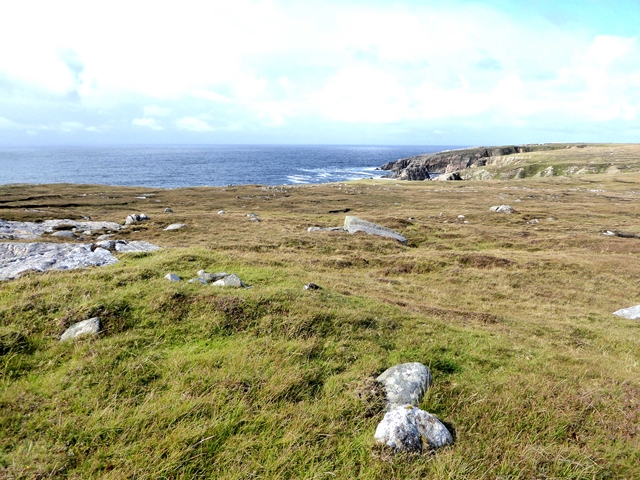
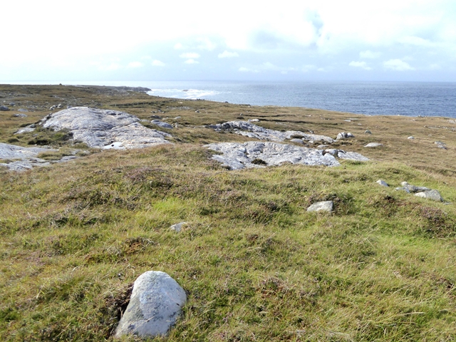
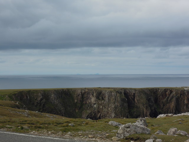
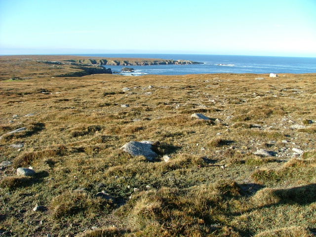
Rubha Bàn is a prominent headland located in Ross-shire, Scotland. Jutting out into the North Atlantic Ocean, it forms a picturesque coastal feature that offers breathtaking views and attracts visitors from near and far.
The headland is characterized by its rugged cliffs, which tower above the crashing waves below. These cliffs provide a nesting site for various seabird species, including gulls and puffins, making it a haven for birdwatchers and wildlife enthusiasts. The surrounding waters are home to an abundance of marine life, with seals often seen basking on the nearby rocks.
Atop Rubha Bàn, there is a well-maintained footpath that allows visitors to explore the headland and enjoy its panoramic vistas. The path offers glimpses of the surrounding countryside, with rolling green hills and expansive blue skies providing a stunning backdrop. On clear days, it is even possible to see distant islands dotting the horizon.
For those interested in history, Rubha Bàn is also home to an ancient lighthouse. Built in the 19th century, it served as a crucial navigational aid for ships navigating the treacherous waters. Although no longer operational, the lighthouse stands as a testament to the area's maritime heritage and adds to the charm of the headland.
Overall, Rubha Bàn is a captivating coastal feature that showcases the beauty of the Scottish coastline. Its rugged cliffs, diverse wildlife, and panoramic views make it a popular destination for nature lovers and those seeking a peaceful retreat by the sea.
If you have any feedback on the listing, please let us know in the comments section below.
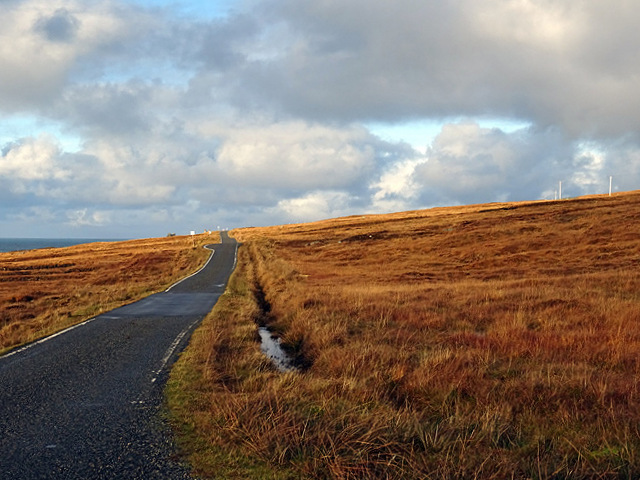
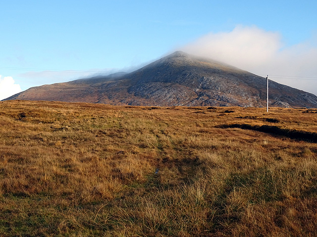
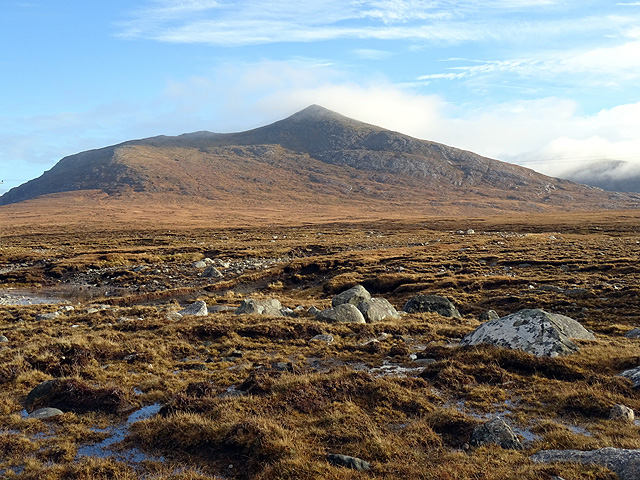
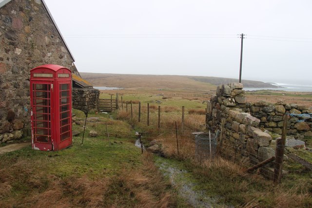
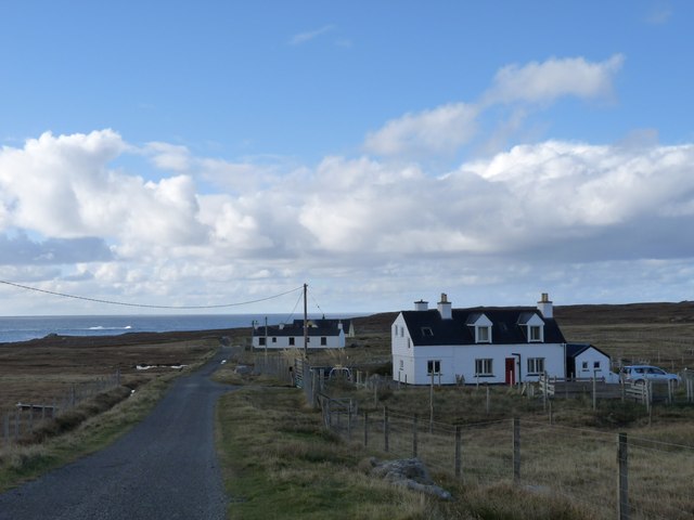
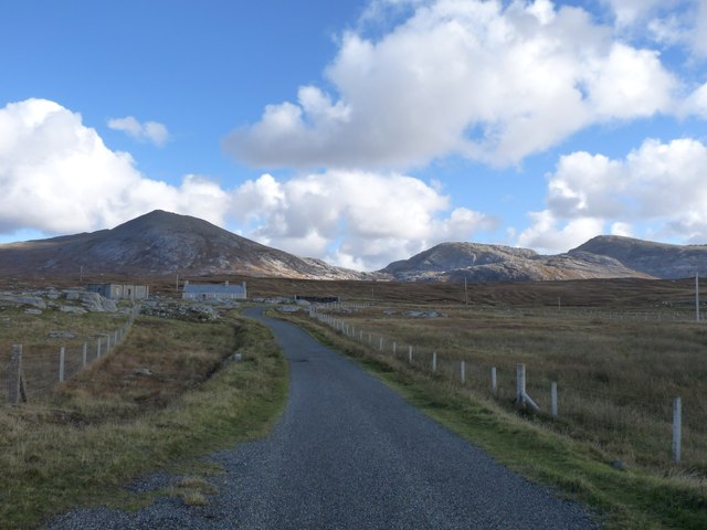
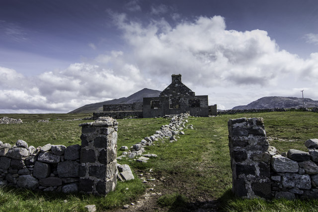
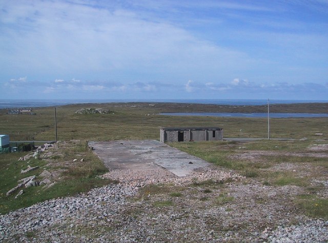
Rubha Bàn Images
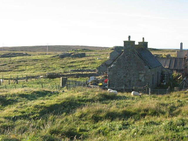
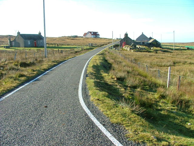
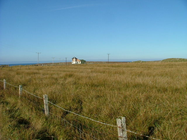
Images are sourced within 2km of 58.133305/-7.130949 or Grid Reference NA9827. Thanks to Geograph Open Source API. All images are credited.

Rubha Bàn is located at Grid Ref: NA9827 (Lat: 58.133305, Lng: -7.130949)
Unitary Authority: Na h-Eileanan an Iar
Police Authority: Highlands and Islands
What 3 Words
///sticky.plod.towns. Near Carloway, Na h-Eileanan Siar
Related Wikis

Brenish
Brenish (Scottish Gaelic: Brèinis) is a small village situated on the west coast of the Isle of Lewis, which is part of the Outer Hebrides of Scotland...

Game pieces of the Lewis chessmen hoard
Game pieces of the Lewis chessmen hoard include the ninety-three game pieces of the Lewis chessmen hoard found on the Isle of Lewis in the Outer Hebrides...

Mealista
Mealista (Scottish Gaelic: Mealasta) was a township in the west of the Isle of Lewis. It is currently largely uninhabited due to the Highland Clearances...

Stac Dhòmhnaill Chaim
Stac Dhòmnuill Chaim, or Stac Dhòmhnaill Chaim, or Stac Domhnuill Chaim, is a fortified promontory located near Mangursta (or Mangersta, Scottish Gaelic...
Nearby Amenities
Located within 500m of 58.133305,-7.130949Have you been to Rubha Bàn?
Leave your review of Rubha Bàn below (or comments, questions and feedback).