Geodha Mhàrtainn
Coastal Feature, Headland, Point in Ross-shire
Scotland
Geodha Mhàrtainn
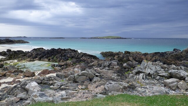
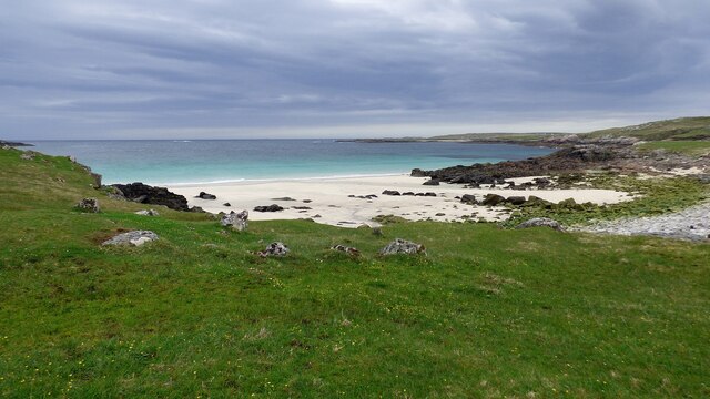
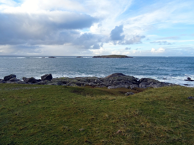
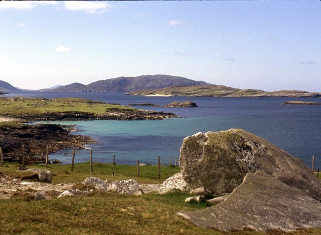
Geodha Mhàrtainn, located in Ross-shire, Scotland, is a prominent coastal feature known for its stunning headland and point. Situated along the rugged coastline, Geodha Mhàrtainn offers breathtaking views of the North Atlantic Ocean and the surrounding landscape.
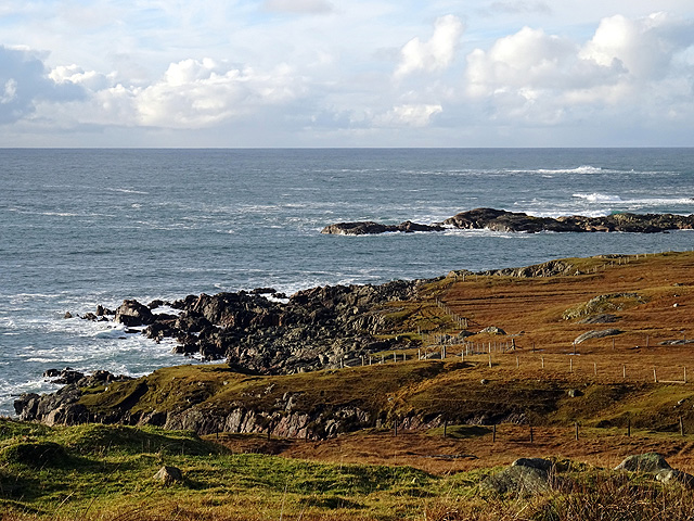
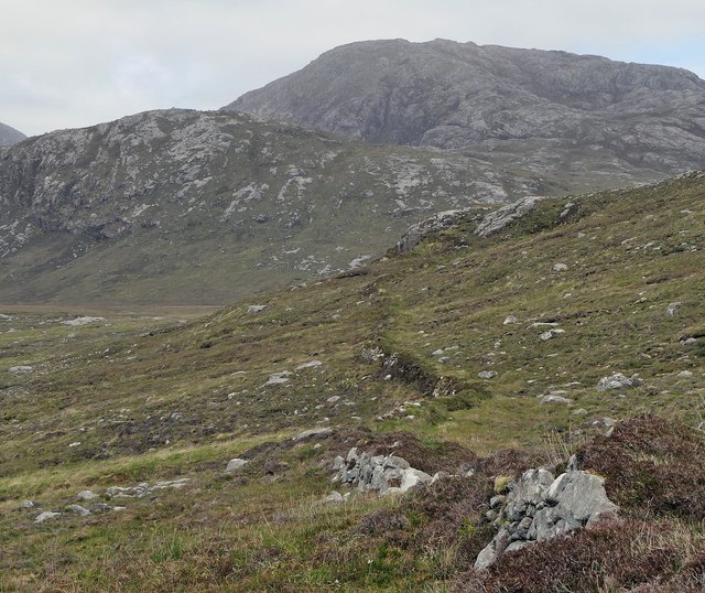
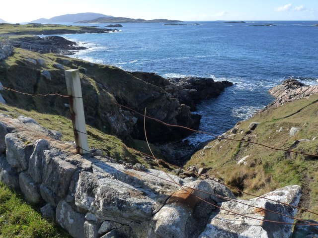
This natural formation is characterized by its towering cliffs, which provide a dramatic backdrop to the crashing waves below. The headland juts out into the sea, forming a distinct point that serves as a landmark for sailors and a popular destination for nature enthusiasts.
The headland is made up of a combination of rock types, including sandstone and granite, which have been shaped by the forces of erosion over millions of years. Its unique geology not only adds to its visual appeal but also allows for a diverse range of wildlife to thrive in the area.
Geodha Mhàrtainn is home to a variety of seabirds, such as gannets, fulmars, and guillemots, which nest in the cliffs and can be observed soaring above the water. The coastal waters surrounding the headland are also rich in marine life, attracting seals and dolphins, which can occasionally be spotted frolicking in the waves.
For visitors, Geodha Mhàrtainn offers a chance to immerse oneself in the natural beauty of the Scottish coast. The headland provides excellent vantage points for photography or simply enjoying the awe-inspiring scenery. Walking trails allow visitors to explore the area and appreciate the diverse flora and fauna that call Geodha Mhàrtainn home.
In conclusion, Geodha Mhàrtainn is a captivating coastal feature in Ross-shire, Scotland, known for its impressive headland and point. Its rugged cliffs, diverse wildlife, and stunning views make it a must-visit destination for nature lovers and those seeking a unique coastal experience.
If you have any feedback on the listing, please let us know in the comments section below.
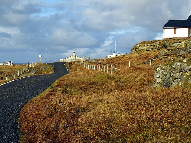
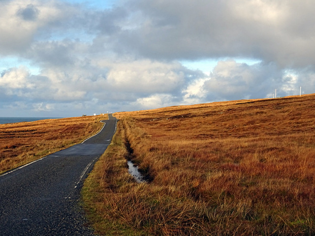
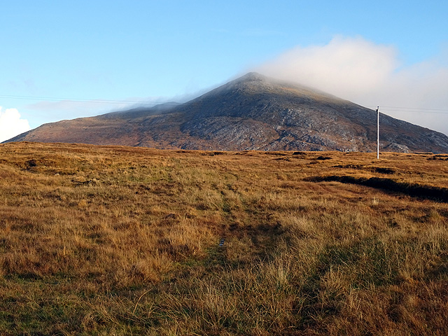
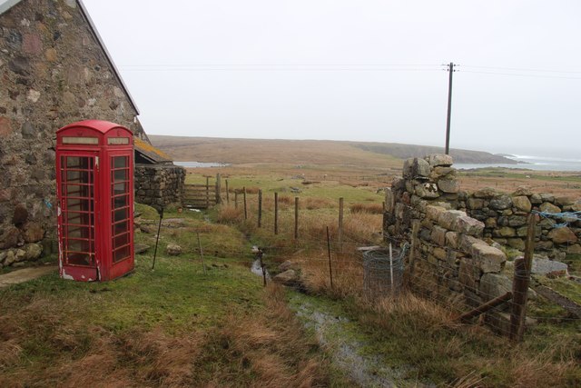
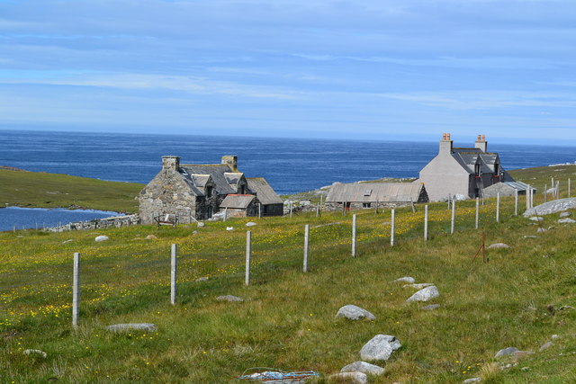
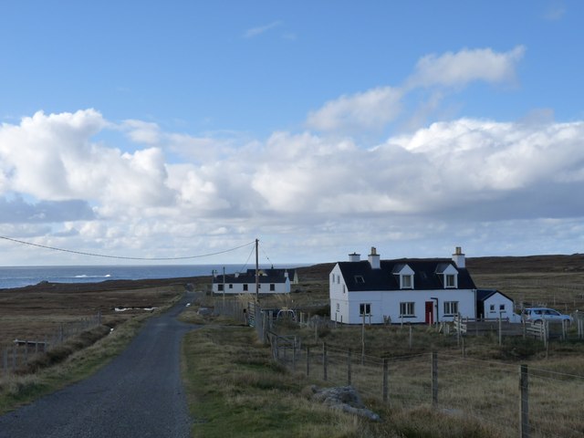
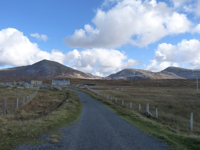
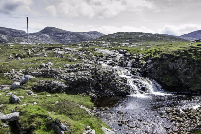
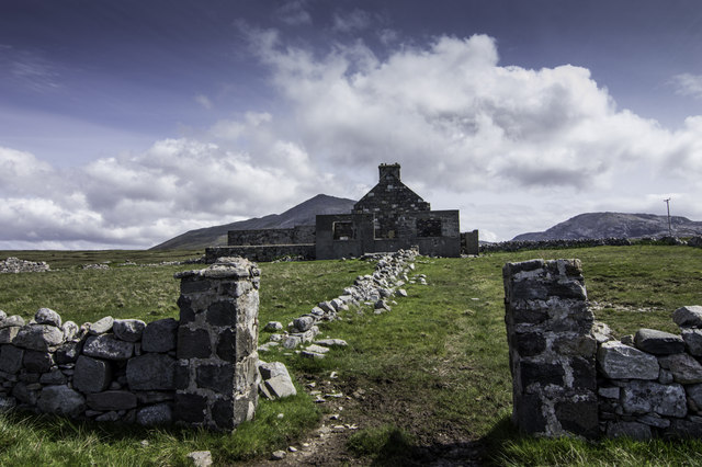
Geodha Mhàrtainn Images
Images are sourced within 2km of 58.120375/-7.1287285 or Grid Reference NA9826. Thanks to Geograph Open Source API. All images are credited.


Geodha Mhàrtainn is located at Grid Ref: NA9826 (Lat: 58.120375, Lng: -7.1287285)
Unitary Authority: Na h-Eileanan an Iar
Police Authority: Highlands and Islands
What 3 Words
///marshes.windows.situates. Near Carloway, Na h-Eileanan Siar
Nearby Locations
Related Wikis

Brenish
Brenish (Scottish Gaelic: Brèinis) is a small village situated on the west coast of the Isle of Lewis, which is part of the Outer Hebrides of Scotland...

Mealista
Mealista (Scottish Gaelic: Mealasta) was a township in the west of the Isle of Lewis. It is currently largely uninhabited due to the Highland Clearances...

Game pieces of the Lewis chessmen hoard
Game pieces of the Lewis chessmen hoard include the ninety-three game pieces of the Lewis chessmen hoard found on the Isle of Lewis in the Outer Hebrides...

Eilean Mhealasta
Eilean Mhealasta (Mealista Island) is an uninhabited island off the west coast of Lewis in the Outer Hebrides of Scotland. It takes its name from Mealista...
Nearby Amenities
Located within 500m of 58.120375,-7.1287285Have you been to Geodha Mhàrtainn?
Leave your review of Geodha Mhàrtainn below (or comments, questions and feedback).