Bogha Eilean Shomhairle

Coastal Feature, Headland, Point in Argyllshire

Scotland

Bogha Eilean Shomhairle

Rinn Thorbhais By following the sheep tracks you can just make it into the grid square, and then you reach a very bracing location.  Well on windy day like this it is. The sheep line on the rocks above looking on interestedly!
Rinn Thorbhais Credit: Roger McLachlan

Bogha Eilean Shomhairle, also known as Rubha Eilean Shomhairle, is a prominent coastal feature located in Argyllshire, Scotland. It is situated on the west coast of the Kintyre Peninsula, near the village of Clachan.

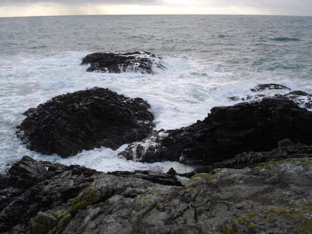
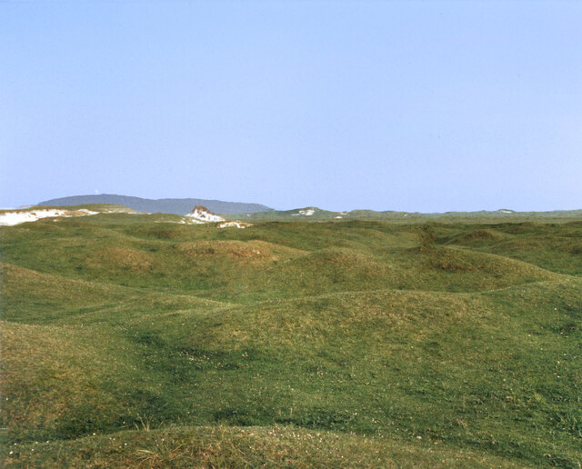
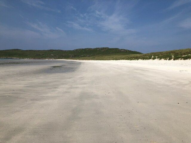
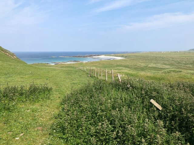
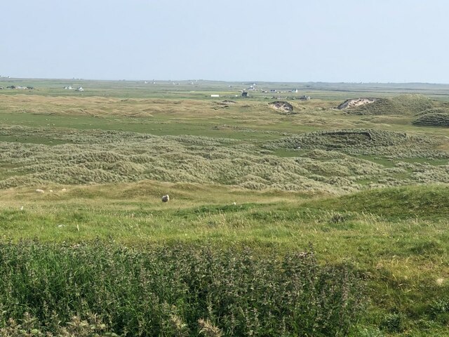
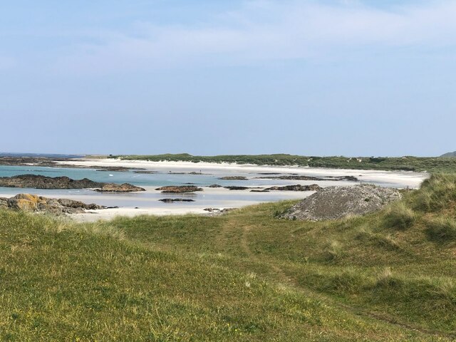
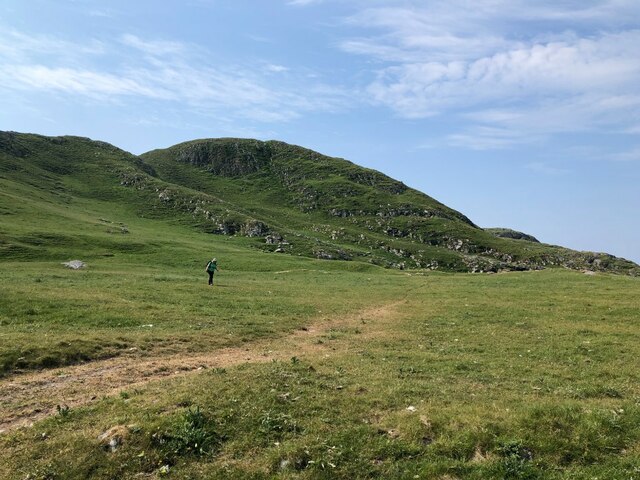
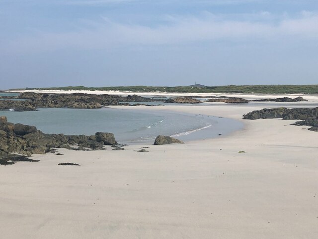
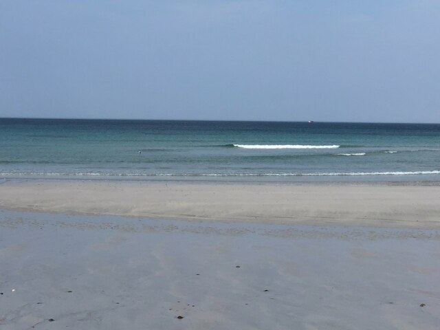
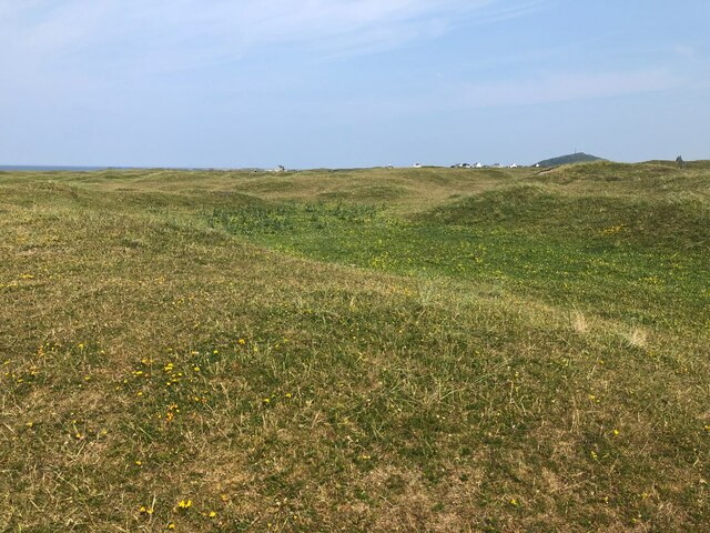
This headland, or point, is characterized by its rugged and dramatic landscape, jutting out into the Atlantic Ocean. It offers stunning panoramic views of the surrounding area, including the neighboring islands of Gigha and Islay. The headland is predominantly composed of rocky cliffs, with some areas covered by grassy slopes.

Bogha Eilean Shomhairle is known for its rich biodiversity and is home to a variety of seabirds, including gannets, puffins, and guillemots. The surrounding waters are also teeming with marine life, making it a popular spot for fishing and wildlife enthusiasts.

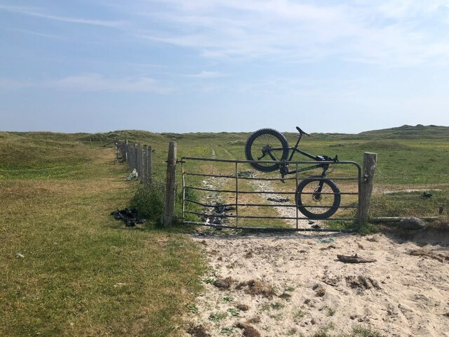
The headland is easily accessible by foot, with a well-maintained coastal path that offers visitors a chance to explore its natural beauty. It is a popular destination for hikers, nature lovers, and photographers, who are drawn to its rugged charm and picturesque vistas.

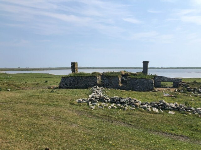
In addition to its natural attractions, Bogha Eilean Shomhairle holds historical significance. The ruins of an ancient fort, believed to be from the Iron Age, can be found on the headland, adding to its cultural heritage.

Overall, Bogha Eilean Shomhairle is a captivating coastal feature that showcases the beauty of Scotland's west coast. Its stunning landscape, diverse wildlife, and historical significance make it a must-visit destination for anyone exploring Argyllshire.

If you have any feedback on the listing, please let us know in the comments section below.

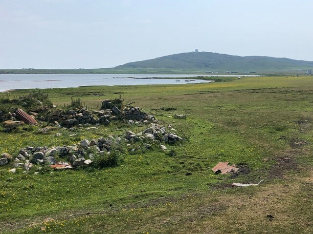
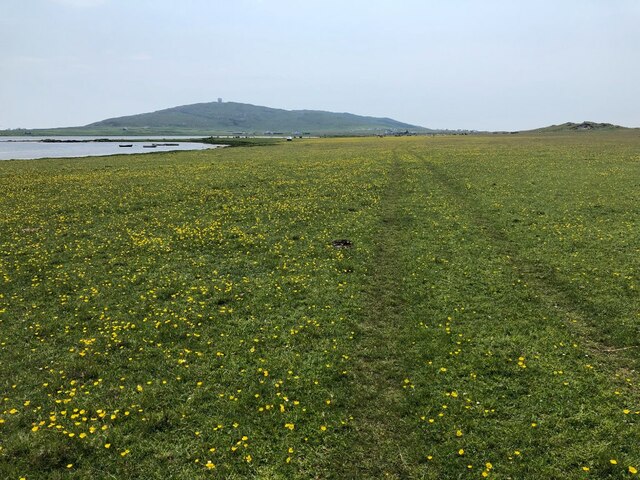
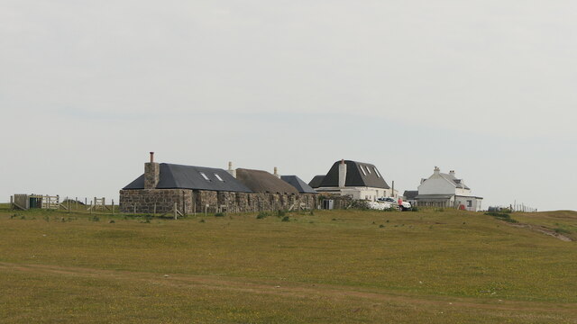
Bogha Eilean Shomhairle Images

Images are sourced within 2km of 56.464951/-6.9788247 or Grid Reference NL9341. Thanks to Geograph Open Source API. All images are credited.

Rinn Thorbhais By following the sheep tracks you can just make it into the grid square, and then you reach a very bracing location.  Well on windy day like this it is. The sheep line on the rocks above looking on interestedly!
Rinn Thorbhais
By following the sheep tracks you can just make it into the grid square, and then you reach a very bracing location. Well on windy day like this it is. The sheep line on the rocks above looking on interestedly!
Grassy Dunes In the centre of an extensive area of sand dunes. Carnan Mor in the background with the radar station just visible.
From a print, date approximate.
Grassy Dunes
In the centre of an extensive area of sand dunes. Carnan Mor in the background with the radar station just visible. From a print, date approximate.
Tràigh Bhì A celebrated beach on the south west corner of Tiree.
Tràigh Bhì
A celebrated beach on the south west corner of Tiree.
Tràigh Bhì A celebrated beach on the south west corner of Tiree.
Tràigh Bhì
A celebrated beach on the south west corner of Tiree.
Fence above Tràigh nan Gilean Grazings on Beinn Ceann a' Mhara.
Fence above Tràigh nan Gilean
Grazings on Beinn Ceann a' Mhara.
Dunes, Barrapol A big area of cattle grazed sand dunes, southwest Tiree.
Dunes, Barrapol
A big area of cattle grazed sand dunes, southwest Tiree.
Gate, Tràigh nan Gilean A way through the barbed wire cattle fences. From here it is an easy walk over to Tràigh Bhì.
Gate, Tràigh nan Gilean
A way through the barbed wire cattle fences. From here it is an easy walk over to Tràigh Bhì.
Tràigh nan Gilean
Tràigh nan Gilean
Beinn Ceann a' Mhara The hilly southwest corner of Tiree.
Beinn Ceann a' Mhara
The hilly southwest corner of Tiree.
Tràigh nan Gilean, Tiree
Gate, Barrapol A track from Tràigh nan Gilean.
Gate, Barrapol
A track from Tràigh nan Gilean.
Dunes, Barrapol Grass showing stress from a prolonged dry spell
Dunes, Barrapol
Grass showing stress from a prolonged dry spell
Ruin by Loch a' Phuill
Ruin by Loch a' Phuill View over the loch towards the Golf Ball (Càrnan Mòr air traffic control radar)
Ruin by Loch a' Phuill
View over the loch towards the Golf Ball (Càrnan Mòr air traffic control radar)
Machair, Loch a' Phuill Rich grazing with a good wader population: Lapwing, Oystercatcher, Redshank
Machair, Loch a' Phuill
Rich grazing with a good wader population: Lapwing, Oystercatcher, Redshank
Houses, Sandaig
Houses, Sandaig
Machair, Sandaig
Machair, Sandaig
Show me another place!

Bogha Eilean Shomhairle is located at Grid Ref: NL9341 (Lat: 56.464951, Lng: -6.9788247)

Unitary Authority: Argyll and Bute

Police Authority: Argyll and West Dunbartonshire

What 3 Words

///sand.goes.remaking. Near Scarinish, Argyll & Bute

Related Wikis

Mannal

Mannal is a coastal hamlet on the west side of Hynish Bay, on the island of Tiree, Scotland. The township of Mannal lies on the southwest corner of Tiree...

Tiree Music Festival

Tiree Music Festival is a Scottish folk music festival held annually on the Island of Tiree in the Inner Hebrides. The festival was founded in 2010 by...

Tiree Airport

Tiree Airport (Scottish Gaelic: Port-adhair Thiriodh) (IATA: TRE, ICAO: EGPU) is located 2.5 nautical miles (4.6 km; 2.9 mi) north northeast of Balemartine...

Nearby Amenities

Located within 500m of 56.464951,-6.9788247
Natural: cave_entrance
Lat/Long: 56.4618928/-6.977973
The data included in this document is from www.openstreetmap.org. The data is made available under ODbL.

Have you been to Bogha Eilean Shomhairle?

Leave your review of Bogha Eilean Shomhairle below (or comments, questions and feedback).