Cist' an Aird Mhòir
Coastal Feature, Headland, Point in Argyllshire
Scotland
Cist' an Aird Mhòir
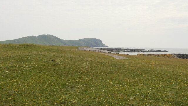
Cist' an Aird Mhòir is a prominent coastal feature located in Argyllshire, Scotland. It is a headland that extends into the sea, forming a distinct point within the landscape. The name "Cist' an Aird Mhòir" translates to "The Point of the Great Height" in English, which accurately describes its geographical characteristics.
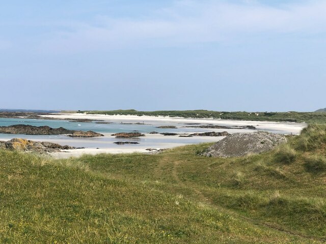
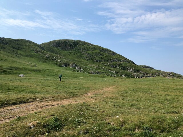
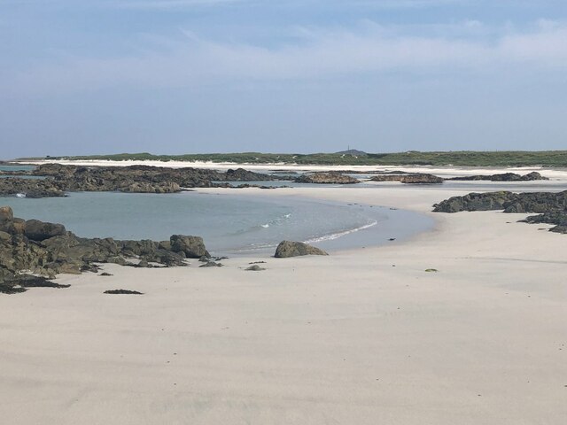
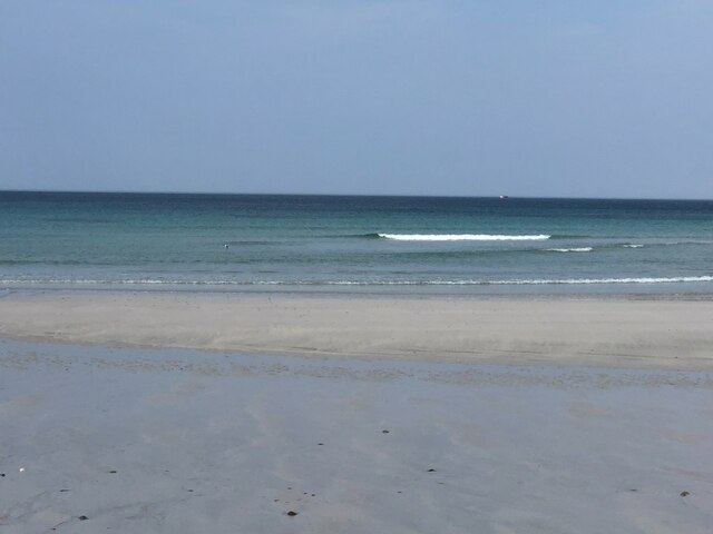
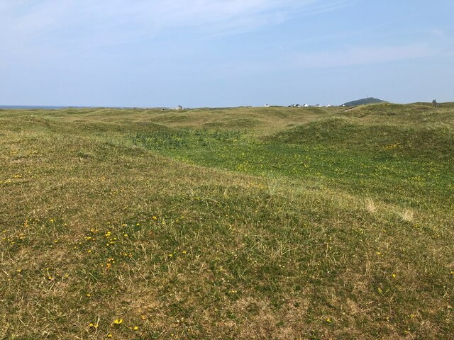
Situated in a remote and rugged area, Cist' an Aird Mhòir offers breathtaking panoramic views of the surrounding coastal scenery. The headland rises to a significant elevation, providing visitors with an elevated vantage point to observe the vast expanse of the Atlantic Ocean. The cliffs that line the edge of the headland are composed of ancient rock formations, adding to its geological interest.
The area surrounding Cist' an Aird Mhòir is abundant in wildlife, making it a popular spot for nature enthusiasts. Seabirds such as gannets, puffins, and fulmars can be spotted nesting on the cliffs, while grey seals can often be seen lounging on nearby rocky outcrops. The headland is also home to a variety of plant species, including heather and sea thrift, which provide a stunning display of color during the summer months.
Access to Cist' an Aird Mhòir is limited, as it is located in a remote and rugged part of Argyllshire. However, for those willing to make the journey, it offers a truly unique and awe-inspiring coastal experience. Whether it be for its natural beauty, geological significance, or wildlife viewing opportunities, Cist' an Aird Mhòir is a must-visit destination for anyone exploring the Scottish coast.
If you have any feedback on the listing, please let us know in the comments section below.
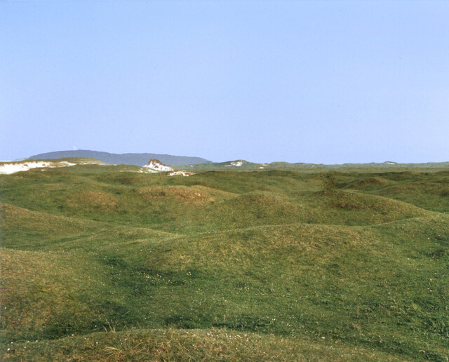
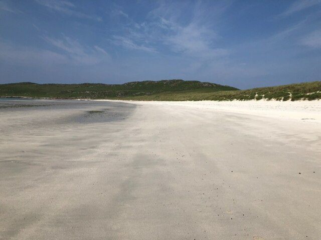
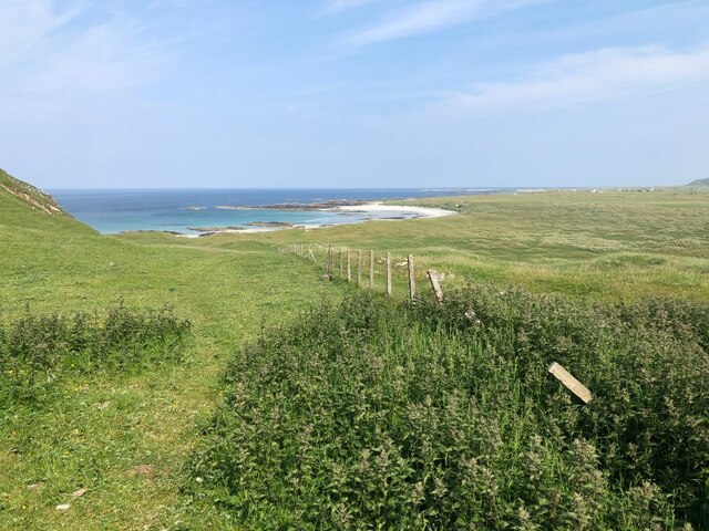
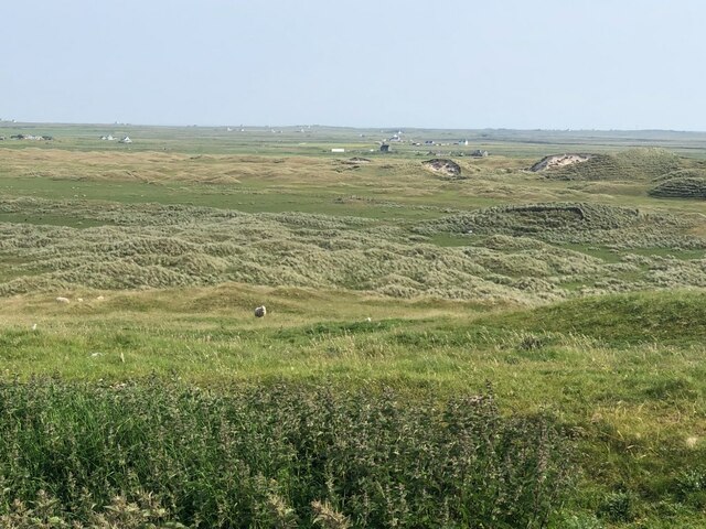
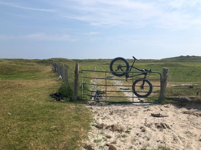
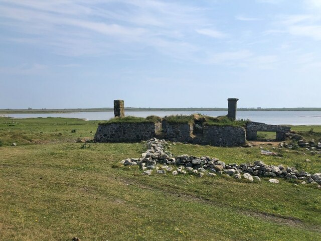
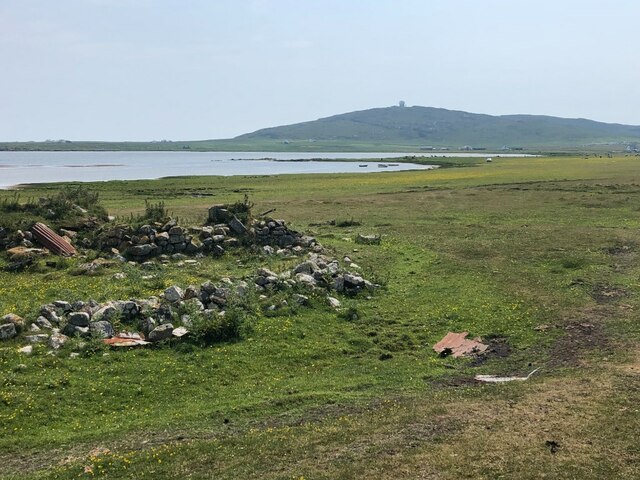
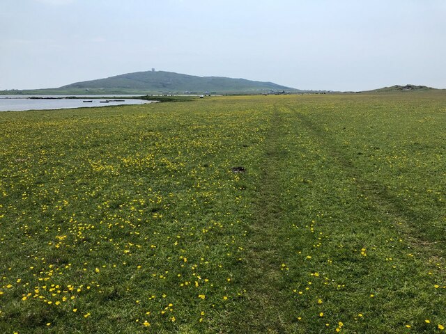
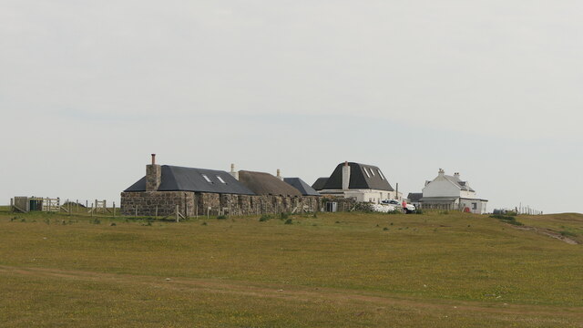
Cist' an Aird Mhòir Images
Images are sourced within 2km of 56.469846/-6.9801497 or Grid Reference NL9341. Thanks to Geograph Open Source API. All images are credited.


Cist' an Aird Mhòir is located at Grid Ref: NL9341 (Lat: 56.469846, Lng: -6.9801497)
Unitary Authority: Argyll and Bute
Police Authority: Argyll and West Dunbartonshire
What 3 Words
///sweated.flick.finely. Near Scarinish, Argyll & Bute
Nearby Locations
Related Wikis

Mannal
Mannal is a coastal hamlet on the west side of Hynish Bay, on the island of Tiree, Scotland. The township of Mannal lies on the southwest corner of Tiree...

Tiree Music Festival
Tiree Music Festival is a Scottish folk music festival held annually on the Island of Tiree in the Inner Hebrides. The festival was founded in 2010 by...

Tiree Airport
Tiree Airport (Scottish Gaelic: Port-adhair Thiriodh) (IATA: TRE, ICAO: EGPU) is located 2.5 nautical miles (4.6 km; 2.9 mi) north northeast of Balemartine...
Have you been to Cist' an Aird Mhòir?
Leave your review of Cist' an Aird Mhòir below (or comments, questions and feedback).