Sloc na Reidh-sgeire

Coastal Feature, Headland, Point in Argyllshire

Scotland

Sloc na Reidh-sgeire

Rinn Thorbhais By following the sheep tracks you can just make it into the grid square, and then you reach a very bracing location.  Well on windy day like this it is. The sheep line on the rocks above looking on interestedly!
Rinn Thorbhais Credit: Roger McLachlan

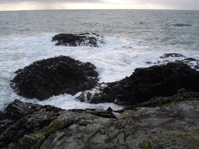
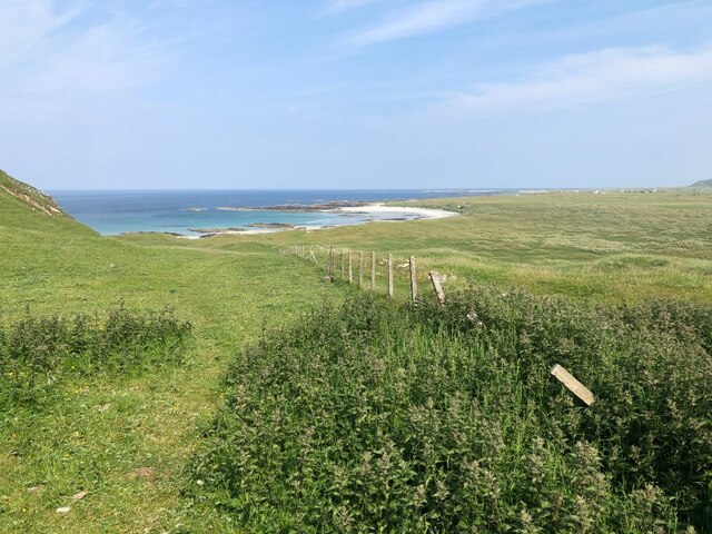
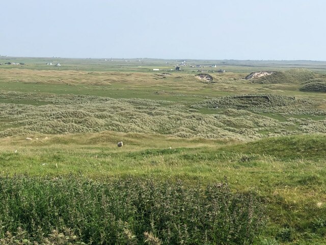
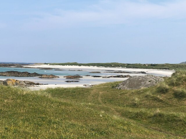
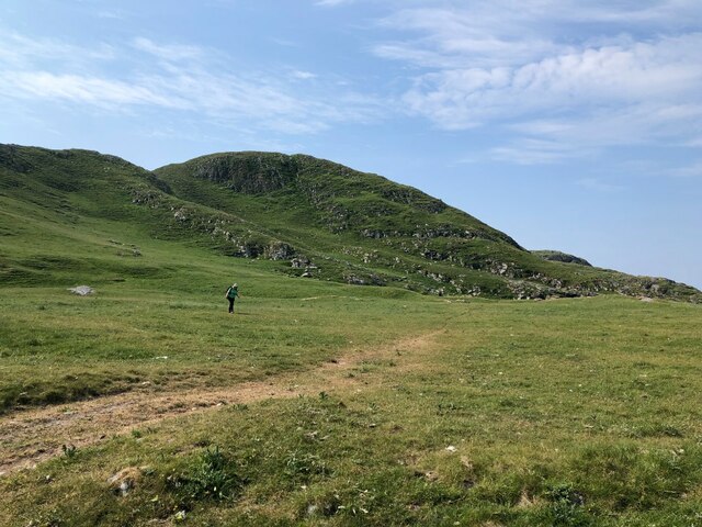
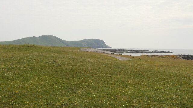
Sloc na Reidh-sgeire is a prominent coastal feature located in Argyllshire, Scotland. It is primarily known for being a stunning headland and point that offers breathtaking views of the surrounding landscape and the Atlantic Ocean.

Situated on the western coast of Argyllshire, Sloc na Reidh-sgeire stands tall at an elevation of approximately 100 meters above sea level. Its distinct geographical location allows visitors to witness mesmerizing sunsets and panoramic vistas of the rugged cliffs and open waters.

The headland is characterized by its dramatic rock formations and steep cliffs that provide nesting grounds for various seabird species, including guillemots and razorbills. These cliffs also serve as a natural defense against the relentless waves of the Atlantic, creating a sense of awe and admiration for the power of nature.

Sloc na Reidh-sgeire is accessible by both land and sea. Visitors can either hike along the coastal path that leads to the headland, or alternatively, boat tours are available for those who wish to explore the area from the water. The headland is equipped with a small car park and a viewing platform, allowing visitors to safely admire the stunning scenery.

This coastal feature attracts nature enthusiasts, photographers, and those seeking tranquility and solitude. Sloc na Reidh-sgeire offers an opportunity to immerse oneself in the raw beauty of the Scottish coastline, creating an unforgettable experience for all who venture to this remarkable headland.

If you have any feedback on the listing, please let us know in the comments section below.

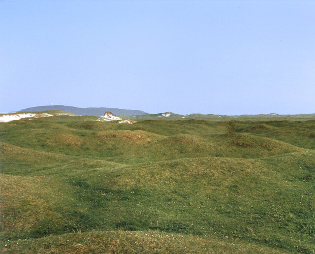
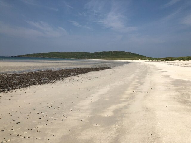
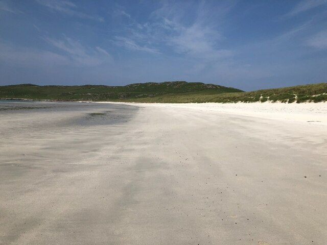
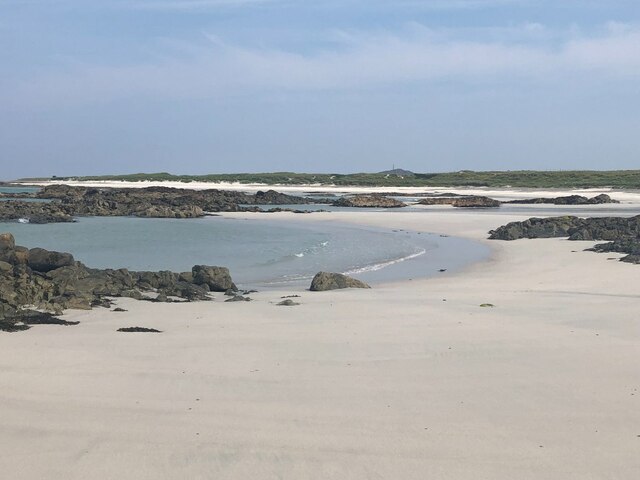
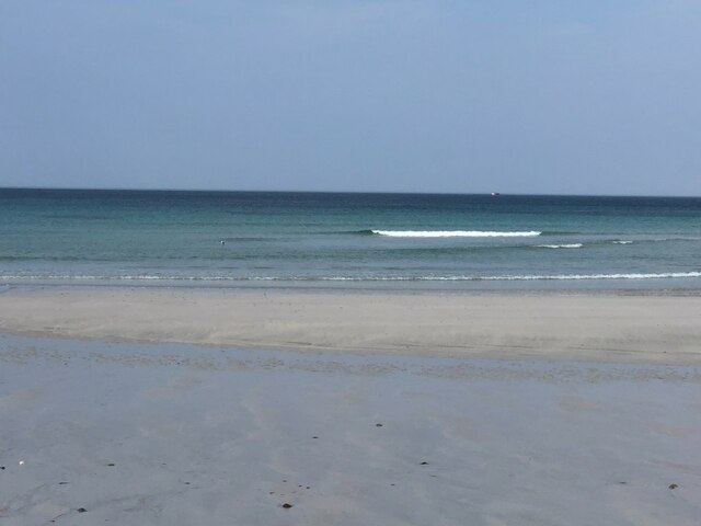
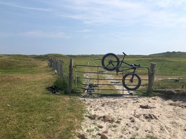
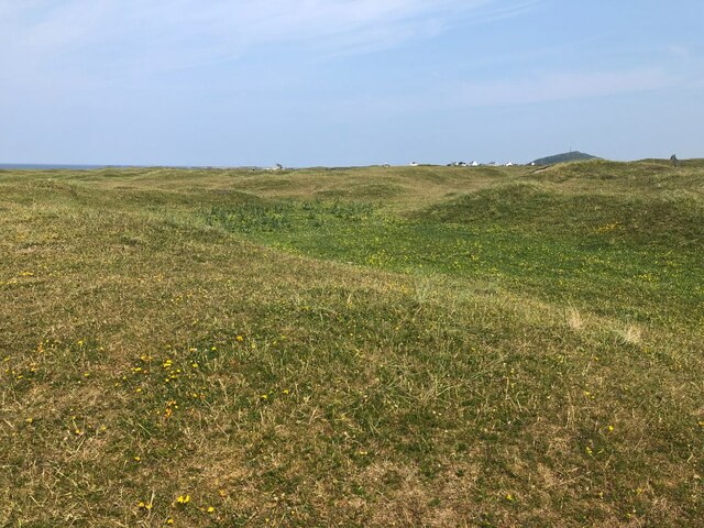
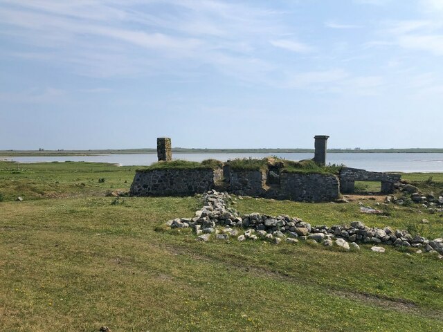
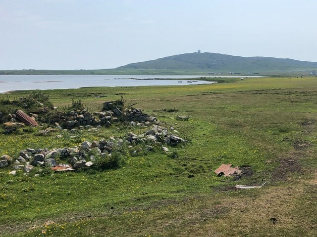
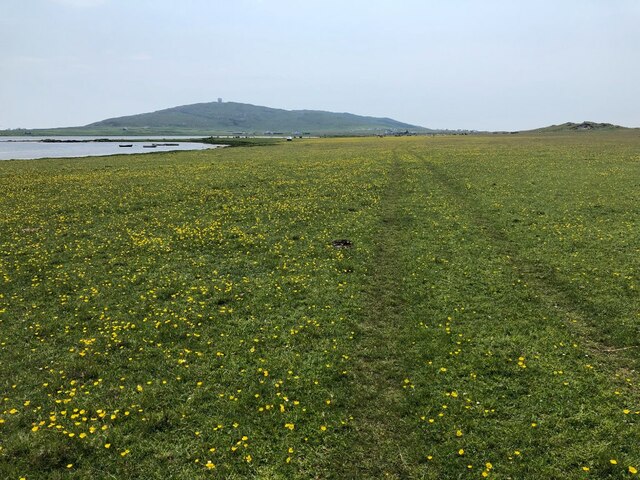
Sloc na Reidh-sgeire Images

Images are sourced within 2km of 56.462115/-6.9768439 or Grid Reference NL9341. Thanks to Geograph Open Source API. All images are credited.

Rinn Thorbhais By following the sheep tracks you can just make it into the grid square, and then you reach a very bracing location.  Well on windy day like this it is. The sheep line on the rocks above looking on interestedly!
Rinn Thorbhais
By following the sheep tracks you can just make it into the grid square, and then you reach a very bracing location. Well on windy day like this it is. The sheep line on the rocks above looking on interestedly!
Grassy Dunes In the centre of an extensive area of sand dunes. Carnan Mor in the background with the radar station just visible.
From a print, date approximate.
Grassy Dunes
In the centre of an extensive area of sand dunes. Carnan Mor in the background with the radar station just visible. From a print, date approximate.
Tràigh Bhì View towards Beinn Ceann a' Mhara
Tràigh Bhì
View towards Beinn Ceann a' Mhara
Tràigh Bhì A celebrated beach on the south west corner of Tiree.
Tràigh Bhì
A celebrated beach on the south west corner of Tiree.
Tràigh Bhì A celebrated beach on the south west corner of Tiree.
Tràigh Bhì
A celebrated beach on the south west corner of Tiree.
Fence above Tràigh nan Gilean Grazings on Beinn Ceann a' Mhara.
Fence above Tràigh nan Gilean
Grazings on Beinn Ceann a' Mhara.
Dunes, Barrapol A big area of cattle grazed sand dunes, southwest Tiree.
Dunes, Barrapol
A big area of cattle grazed sand dunes, southwest Tiree.
Gate, Tràigh nan Gilean A way through the barbed wire cattle fences. From here it is an easy walk over to Tràigh Bhì.
Gate, Tràigh nan Gilean
A way through the barbed wire cattle fences. From here it is an easy walk over to Tràigh Bhì.
Tràigh nan Gilean
Tràigh nan Gilean
Beinn Ceann a' Mhara The hilly southwest corner of Tiree.
Beinn Ceann a' Mhara
The hilly southwest corner of Tiree.
Tràigh nan Gilean, Tiree
Gate, Barrapol A track from Tràigh nan Gilean.
Gate, Barrapol
A track from Tràigh nan Gilean.
Dunes, Barrapol Grass showing stress from a prolonged dry spell
Dunes, Barrapol
Grass showing stress from a prolonged dry spell
Ruin by Loch a' Phuill
Ruin by Loch a' Phuill View over the loch towards the Golf Ball (Càrnan Mòr air traffic control radar)
Ruin by Loch a' Phuill
View over the loch towards the Golf Ball (Càrnan Mòr air traffic control radar)
Machair, Loch a' Phuill Rich grazing with a good wader population: Lapwing, Oystercatcher, Redshank
Machair, Loch a' Phuill
Rich grazing with a good wader population: Lapwing, Oystercatcher, Redshank
Machair, Sandaig West side of Tiree.
Machair, Sandaig
West side of Tiree.
Show me another place!

Sloc na Reidh-sgeire is located at Grid Ref: NL9341 (Lat: 56.462115, Lng: -6.9768439)

Unitary Authority: Argyll and Bute

Police Authority: Argyll and West Dunbartonshire

What 3 Words

///unloaded.charge.yourself. Near Scarinish, Argyll & Bute

Related Wikis

Mannal

Mannal is a coastal hamlet on the west side of Hynish Bay, on the island of Tiree, Scotland. The township of Mannal lies on the southwest corner of Tiree...

Tiree Music Festival

Tiree Music Festival is a Scottish folk music festival held annually on the Island of Tiree in the Inner Hebrides. The festival was founded in 2010 by...

Tiree Airport

Tiree Airport (Scottish Gaelic: Port-adhair Thiriodh) (IATA: TRE, ICAO: EGPU) is located 2.5 nautical miles (4.6 km; 2.9 mi) north northeast of Balemartine...

Nearby Amenities

Located within 500m of 56.462115,-6.9768439
Natural: cave_entrance
Lat/Long: 56.4601185/-6.9788354
Natural: cave_entrance
Lat/Long: 56.4618928/-6.977973
Man Made: cairn
Material: stone
Lat/Long: 56.4584825/-6.9789333
The data included in this document is from www.openstreetmap.org. The data is made available under ODbL.

Have you been to Sloc na Reidh-sgeire?

Leave your review of Sloc na Reidh-sgeire below (or comments, questions and feedback).