Creag nam Bodach

Coastal Feature, Headland, Point in Inverness-shire

Scotland

Creag nam Bodach

Beehive in Dun Caragarry Looking over Dun Caragarry to the mouth of Loch Euphort. The small structure at centre is a beehive chamber built within the ruin of the dun. The chamber was photographed by Erskine Beveridge, and his photo can be found facing page 163 of his book ‘North Uist’. More information on the dun, including Beveridge’s photo, can be found on the CANMORE website (CANMORE ID 10429).
Beehive in Dun Caragarry Credit: Marc Calhoun

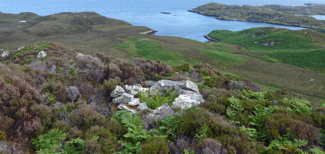
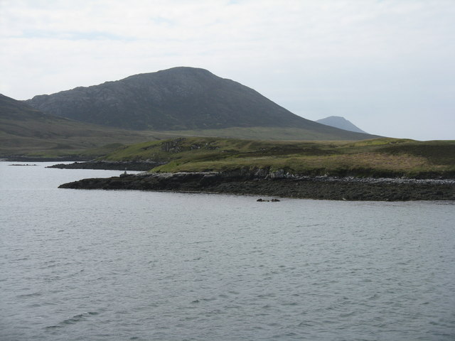
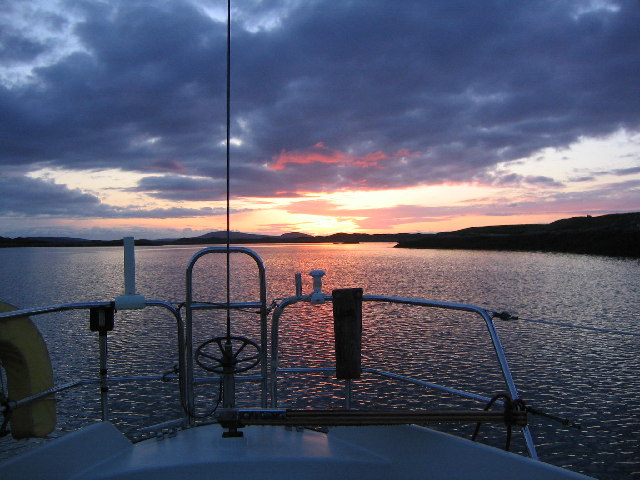
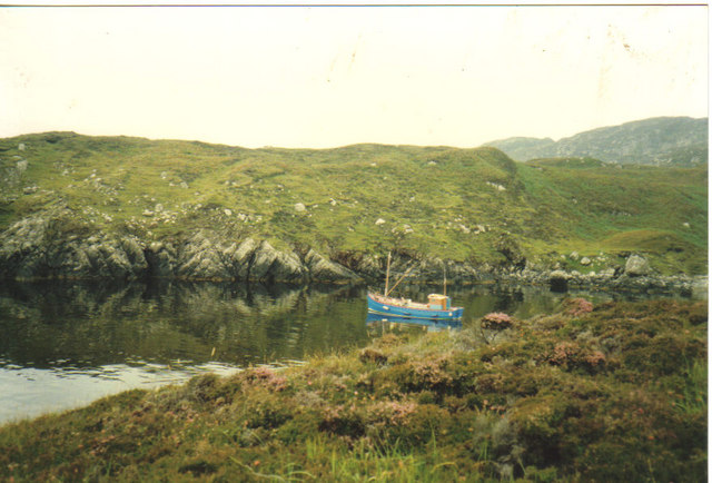
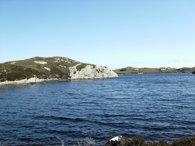
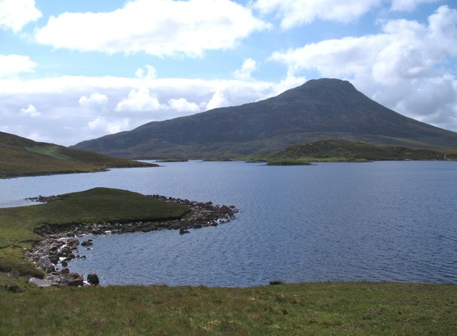
Creag nam Bodach is a prominent coastal feature located in Inverness-shire, Scotland. It is a headland that juts out into the North Sea, forming a distinctive point along the coastline. The name "Creag nam Bodach" translates to "Rock of the Old Men" in Gaelic, possibly referring to the rugged and weathered appearance of the headland.

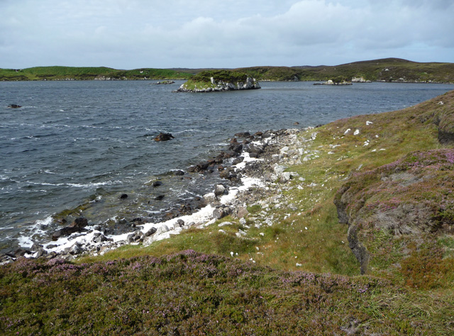
The headland is characterized by its steep cliffs and rocky terrain, which provide a dramatic backdrop against the crashing waves of the sea. The cliffs are composed of layered rock formations, showcasing the geological history of the area. These rock formations have been shaped by erosion over millions of years, resulting in unique features and formations that attract both geologists and nature enthusiasts.

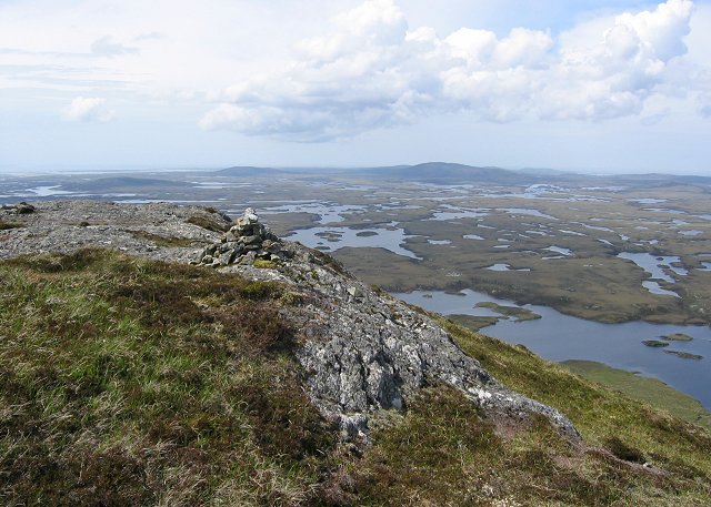
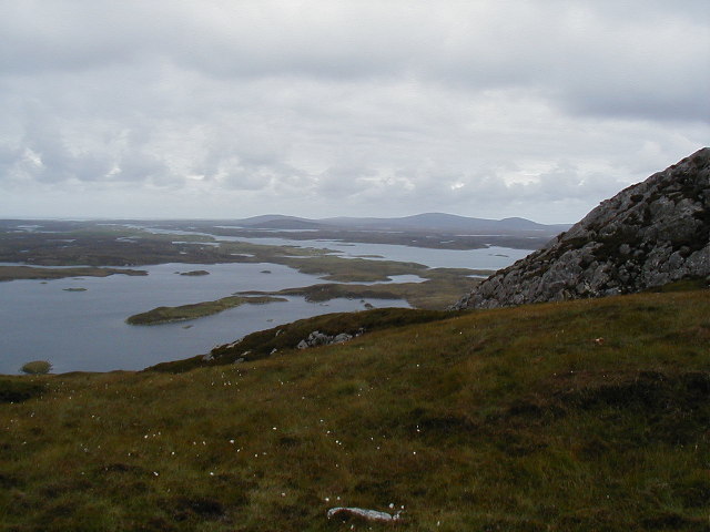
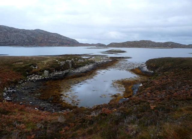
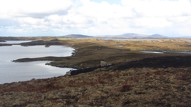
Creag nam Bodach offers breathtaking panoramic views of the surrounding coastal landscape. On a clear day, visitors can see miles of sandy beaches, rolling hills, and the vast expanse of the North Sea. The headland also serves as a vantage point for observing various seabirds that nest and soar above the cliffs, adding to the area's natural beauty.

Access to Creag nam Bodach is relatively easy, with a well-maintained path leading to the headland. Visitors can enjoy leisurely walks along the coastal trail, taking in the stunning scenery and enjoying the peaceful ambiance of the area. The headland also provides opportunities for photography, with its striking cliffs and the ever-changing colors of the sea serving as captivating subjects.

Overall, Creag nam Bodach is a captivating coastal feature in Inverness-shire, offering visitors a chance to immerse themselves in the beauty of Scotland's rugged coastline and appreciate the wonders of nature.

If you have any feedback on the listing, please let us know in the comments section below.

Creag nam Bodach Images

Images are sourced within 2km of 57.557176/-7.1549239 or Grid Reference NF9163. Thanks to Geograph Open Source API. All images are credited.

Beehive in Dun Caragarry Looking over Dun Caragarry to the mouth of Loch Euphort. The small structure at centre is a beehive chamber built within the ruin of the dun. The chamber was photographed by Erskine Beveridge, and his photo can be found facing page 163 of his book ‘North Uist’. More information on the dun, including Beveridge’s photo, can be found on the CANMORE website (CANMORE ID 10429).
Beehive in Dun Caragarry
Looking over Dun Caragarry to the mouth of Loch Euphort. The small structure at centre is a beehive chamber built within the ruin of the dun. The chamber was photographed by Erskine Beveridge, and his photo can be found facing page 163 of his book ‘North Uist’. More information on the dun, including Beveridge’s photo, can be found on the CANMORE website (CANMORE ID 10429).
Li a Deas In English South Lee, one of the highest peaks on North Uist. Seen from the ferry for Uig leaving Lochmaddy.
Li a Deas
In English South Lee, one of the highest peaks on North Uist. Seen from the ferry for Uig leaving Lochmaddy.
Summit, South Lee South Lee/Li a'Deas is one of a pair of striking hills above Lochmaddy. There is much exposed gneiss. The view shows the mixed loch and moorland scenery of North Uist.
Summit, South Lee
South Lee/Li a'Deas is one of a pair of striking hills above Lochmaddy. There is much exposed gneiss. The view shows the mixed loch and moorland scenery of North Uist.
View NW from the slopes of Burabhal Loch Obasaraigh is to the left.
View NW from the slopes of Burabhal
Loch Obasaraigh is to the left.
Loch a Ghlinne-dorca from slopes of Burabhal
Anchorage in Loch Eyport
Lobster Boat In gaelic a small bay such as this is called a Geo
Lobster Boat
In gaelic a small bay such as this is called a Geo
Acairseid LI We had canoed into here from Clachan on Loch Euphort hoping to find a quiet camping spot on Loch Thundair.  However on walking over from Acairseid Li to Thundair we caught sight of a large fish farm at the South end of the loch.  This helicopter was servicing the fish farm
Acairseid LI
We had canoed into here from Clachan on Loch Euphort hoping to find a quiet camping spot on Loch Thundair. However on walking over from Acairseid Li to Thundair we caught sight of a large fish farm at the South end of the loch. This helicopter was servicing the fish farm
Camp site to the South of South Lee Lovely view South to Eaval, but the midges were awful!
Camp site to the South of South Lee
Lovely view South to Eaval, but the midges were awful!
Rock feature Rock feature on Loch a'Ghlinne-dorcha
Rock feature
Rock feature on Loch a'Ghlinne-dorcha
Loch Obasaraigh A prolonged fresh southerly wind is creating spume from the loch and blowing it onto the northern shores.
Loch Obasaraigh
A prolonged fresh southerly wind is creating spume from the loch and blowing it onto the northern shores.
Riobhag Mhòr Islets in Loch Euphort
Riobhag Mhòr
Islets in Loch Euphort
Moorland by Loch Obasaraigh There had been some recent muir burning here.
Moorland by Loch Obasaraigh
There had been some recent muir burning here.
On Burabhal Burabhal is a small and very rocky hill overlooking complex lochs on all sides. Behind and below the sheep is Loch a' Ghlinne-dorcha.
On Burabhal
Burabhal is a small and very rocky hill overlooking complex lochs on all sides. Behind and below the sheep is Loch a' Ghlinne-dorcha.
Across Loch Obasaraigh Taken from the lochside path that heads towards Eabhal. The loch is typical of those in the western isles, being of no great size, but with a contorted shoreline several miles long.
Across Loch Obasaraigh
Taken from the lochside path that heads towards Eabhal. The loch is typical of those in the western isles, being of no great size, but with a contorted shoreline several miles long.
Fish cages, Loch Euphort
Loch Obasaraigh A loch with a complex shape and many islands.
Loch Obasaraigh
A loch with a complex shape and many islands.
West side of Burabhal Burabhal falls away into Loch a' Ghlinne-dorcha.
West side of Burabhal
Burabhal falls away into Loch a' Ghlinne-dorcha.
Show me another place!

Creag nam Bodach is located at Grid Ref: NF9163 (Lat: 57.557176, Lng: -7.1549239)

Unitary Authority: Na h-Eileanan an Iar

Police Authority: Highlands and Islands

What 3 Words

///segregate.enabling.rooftop. Near Lochmaddy, Na h-Eileanan Siar

Related Wikis

Taigh Chearsabhagh

Taigh Chearsabhagh is an arts centre and museum in Lochmaddy on the island of North Uist, Scotland.Taigh Chearsabhagh was built in 1741 and originally...

Lochmaddy

Lochmaddy (Scottish Gaelic: Loch nam Madadh [l̪ˠɔx nə ˈmat̪əɣ], "Loch of the Hounds") is the administrative centre of North Uist in the Outer Hebrides...

Flodaigh Mòr

Flodaigh Mòr (or Floddaymore) is an uninhabited island in the Outer Hebrides of Scotland. == Geography and geology == Flodaigh Mòr lies east of North Uist...

Weavers Point

Weavers Point (Scottish Gaelic: Rubha an Fhigheadair) is a headland to the north of the entrance to Loch Maddy, on the north eastern coastline of North...

Loch Sgadabhagh

Loch Sgadabhagh or Loch Scadavay is a body of water on the island of North Uist, Scotland. The name may be of Old Norse derivation meaning "lake of tax...

Ceallasaigh Beag

Ceallasaigh Beag (or Keallasay Beg) is a low-lying island in Loch Maddy off North Uist in the Outer Hebrides of Scotland. This an area of shallow lagoons...

Fraoch-Eilean

Fraoch-eilean is a small island with an uncertain population north of Benbecula in the Outer Hebrides of Scotland. It is about 55 hectares (140 acres...

Ronay

Ronay (Scottish Gaelic: Rònaigh) is an island in the Outer Hebrides of Scotland, which lies a short distance off the east coast of Grimsay. == Geography... ==

Nearby Amenities

Located within 500m of 57.557176,-7.1549239
Rubha nan Gall
Natural: cape
Lat/Long: 57.55722/-7.1632415
The data included in this document is from www.openstreetmap.org. The data is made available under ODbL.

Have you been to Creag nam Bodach?

Leave your review of Creag nam Bodach below (or comments, questions and feedback).