Rubha nan Gall
Coastal Feature, Headland, Point in Inverness-shire
Scotland
Rubha nan Gall
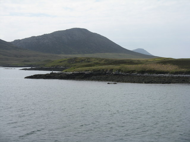
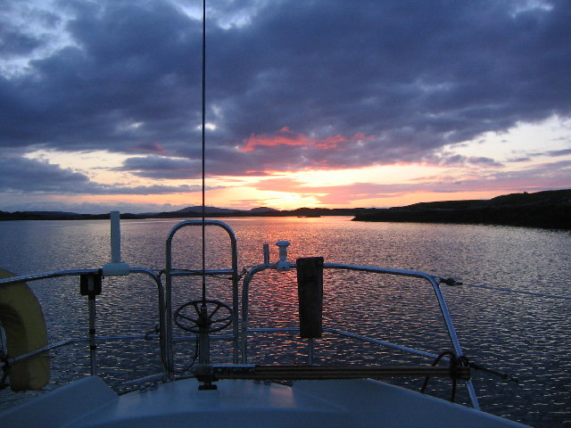
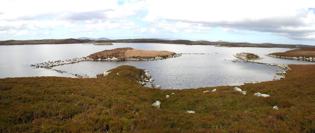
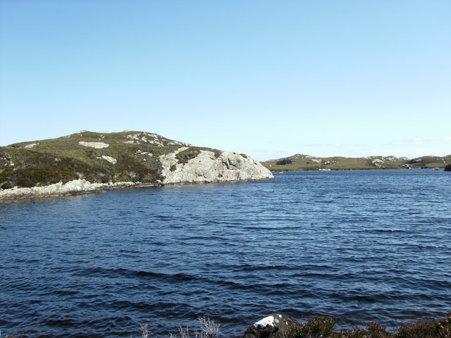
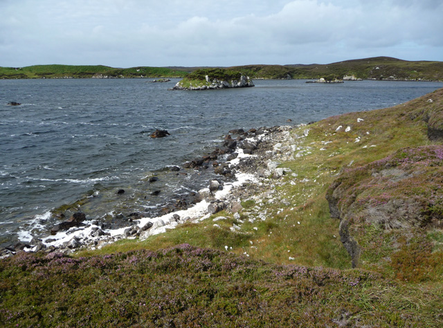
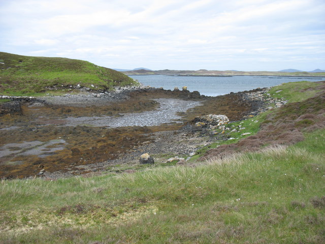
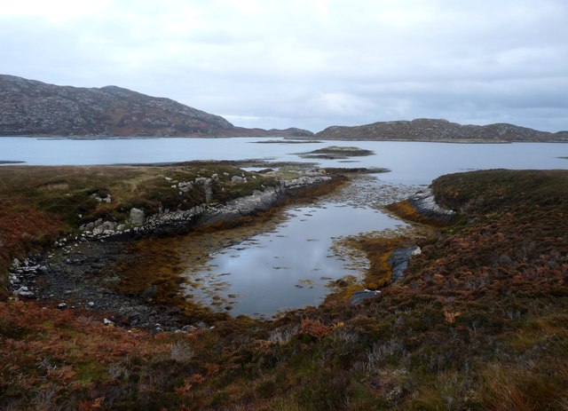
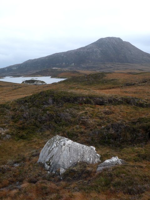
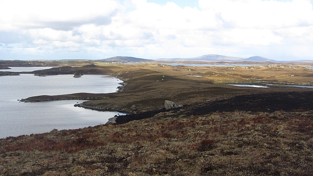
Rubha nan Gall is a captivating coastal feature located in Inverness-shire, Scotland. Situated on the west coast of the Scottish Highlands, this headland juts out into the North Atlantic Ocean, offering breathtaking views and an abundance of natural beauty.
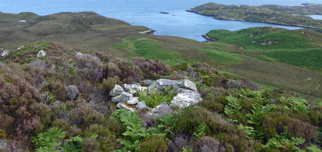
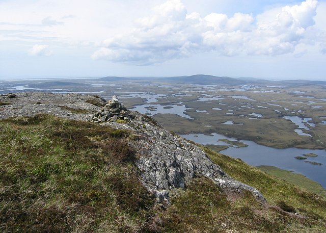
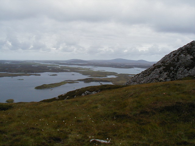
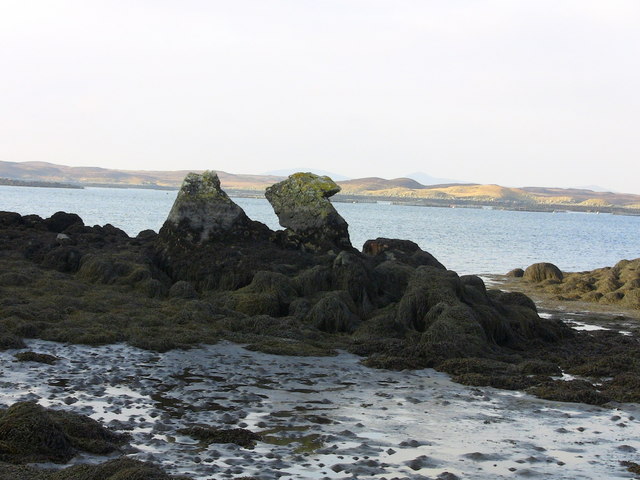
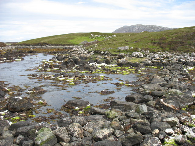
This stunning point is characterized by its rugged cliffs and rocky terrain, which are home to a diverse range of flora and fauna. The headland is fringed by pristine sandy beaches, providing a picturesque backdrop against the azure blue waters of the ocean. The coastal path that winds around Rubha nan Gall allows visitors to explore the area's dramatic landscape and discover hidden coves and sea caves.
Rubha nan Gall holds historical significance as well. The name itself translates to "Headland of the Strangers" in Gaelic, referring to the Vikings who once landed on these shores. Remnants of their presence, such as ancient burial grounds and archaeological sites, can still be found in the surrounding area.
Nature enthusiasts flock to this coastal gem to witness the diverse wildlife that calls it home. Seabird colonies, including puffins and guillemots, nest along the cliffs, while seals can often be spotted basking on the rocks or swimming in the surrounding waters. Dolphins and occasionally even whales can be seen offshore, adding to the allure of this remarkable location.
Rubha nan Gall is a must-visit destination for those seeking tranquility, natural beauty, and a glimpse into Scotland's rich history. Whether exploring the rugged coastline, observing the abundant wildlife, or simply admiring the breathtaking views, this headland promises an unforgettable experience for all who venture here.
If you have any feedback on the listing, please let us know in the comments section below.
Rubha nan Gall Images
Images are sourced within 2km of 57.558233/-7.1627243 or Grid Reference NF9163. Thanks to Geograph Open Source API. All images are credited.


Rubha nan Gall is located at Grid Ref: NF9163 (Lat: 57.558233, Lng: -7.1627243)
Unitary Authority: Na h-Eileanan an Iar
Police Authority: Highlands and Islands
What 3 Words
///flanks.robes.tiles. Near Lochmaddy, Na h-Eileanan Siar
Related Wikis

Taigh Chearsabhagh
Taigh Chearsabhagh is an arts centre and museum in Lochmaddy on the island of North Uist, Scotland.Taigh Chearsabhagh was built in 1741 and originally...

Lochmaddy
Lochmaddy (Scottish Gaelic: Loch nam Madadh [l̪ˠɔx nə ˈmat̪əɣ], "Loch of the Hounds") is the administrative centre of North Uist in the Outer Hebrides...

Flodaigh Mòr
Flodaigh Mòr (or Floddaymore) is an uninhabited island in the Outer Hebrides of Scotland. == Geography and geology == Flodaigh Mòr lies east of North Uist...
Weavers Point
Weavers Point (Scottish Gaelic: Rubha an Fhigheadair) is a headland to the north of the entrance to Loch Maddy, on the north eastern coastline of North...

Loch Sgadabhagh
Loch Sgadabhagh or Loch Scadavay is a body of water on the island of North Uist, Scotland. The name may be of Old Norse derivation meaning "lake of tax...

Ceallasaigh Beag
Ceallasaigh Beag (or Keallasay Beg) is a low-lying island in Loch Maddy off North Uist in the Outer Hebrides of Scotland. This an area of shallow lagoons...

Fraoch-Eilean
Fraoch-eilean is a small island with an uncertain population north of Benbecula in the Outer Hebrides of Scotland. It is about 55 hectares (140 acres...

Ronay
Ronay (Scottish Gaelic: Rònaigh) is an island in the Outer Hebrides of Scotland, which lies a short distance off the east coast of Grimsay. == Geography... ==
Nearby Amenities
Located within 500m of 57.558233,-7.1627243Have you been to Rubha nan Gall?
Leave your review of Rubha nan Gall below (or comments, questions and feedback).