Nicholl's Rock
Coastal Feature, Headland, Point in Cornwall
England
Nicholl's Rock

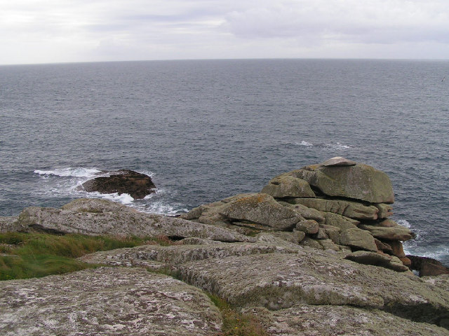
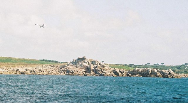
Nicholl's Rock is a prominent coastal feature located in Cornwall, England. It is a headland that juts out into the Atlantic Ocean, forming a distinctive point along the coastline. The rock is situated near the town of Newquay, a popular tourist destination known for its stunning beaches and rugged cliffs.
Standing tall and imposing, Nicholl's Rock is composed of a combination of granite and slate, which gives it a unique appearance. The rock formation is the result of millions of years of geological processes, including erosion and tectonic activity. Over time, the relentless pounding of the waves has shaped the rock into its current form, creating jagged edges and deep crevices.
The headland offers breathtaking panoramic views of the surrounding area, including the vast expanse of the Atlantic Ocean and the picturesque coastline. On clear days, visitors can see as far as the distant cliffs and the charming seaside town of Newquay. The area surrounding Nicholl's Rock is rich in diverse marine life, making it a popular spot for snorkeling and scuba diving enthusiasts.
In addition to its natural beauty, Nicholl's Rock also has historical significance. It is believed to have served as a navigational landmark for sailors and fishermen in the past. Today, it continues to be a point of interest for locals and tourists alike, drawing nature lovers, photographers, and outdoor enthusiasts who are eager to explore the rugged beauty of Cornwall's coastline. Whether one is seeking a peaceful stroll along the cliffs or an adrenaline-pumping adventure in the water, Nicholl's Rock offers an unforgettable experience for all who visit.
If you have any feedback on the listing, please let us know in the comments section below.
Nicholl's Rock Images
Images are sourced within 2km of 49.90876/-6.3112459 or Grid Reference SV9009. Thanks to Geograph Open Source API. All images are credited.


Nicholl's Rock is located at Grid Ref: SV9009 (Lat: 49.90876, Lng: -6.3112459)
Division: Isles of Scilly
Unitary Authority: Isles of Scilly
Police Authority: Devon and Cornwall
What 3 Words
///lands.flow.rationing. Near St Mary's, Isles of Scilly
Nearby Locations
Related Wikis

Buzza Tower
Buzza Tower is a Grade II listed structure on St Mary's, Isles of Scilly now used as a camera obscura. The tower was built in 1821 as a windmill. It was...

St Mary's Old Church, St Mary's
St Mary's Old Church, St Mary's is a parish church in the Church of England located in Old Town on St Mary's, Isles of Scilly, Cornwall, United Kingdom...
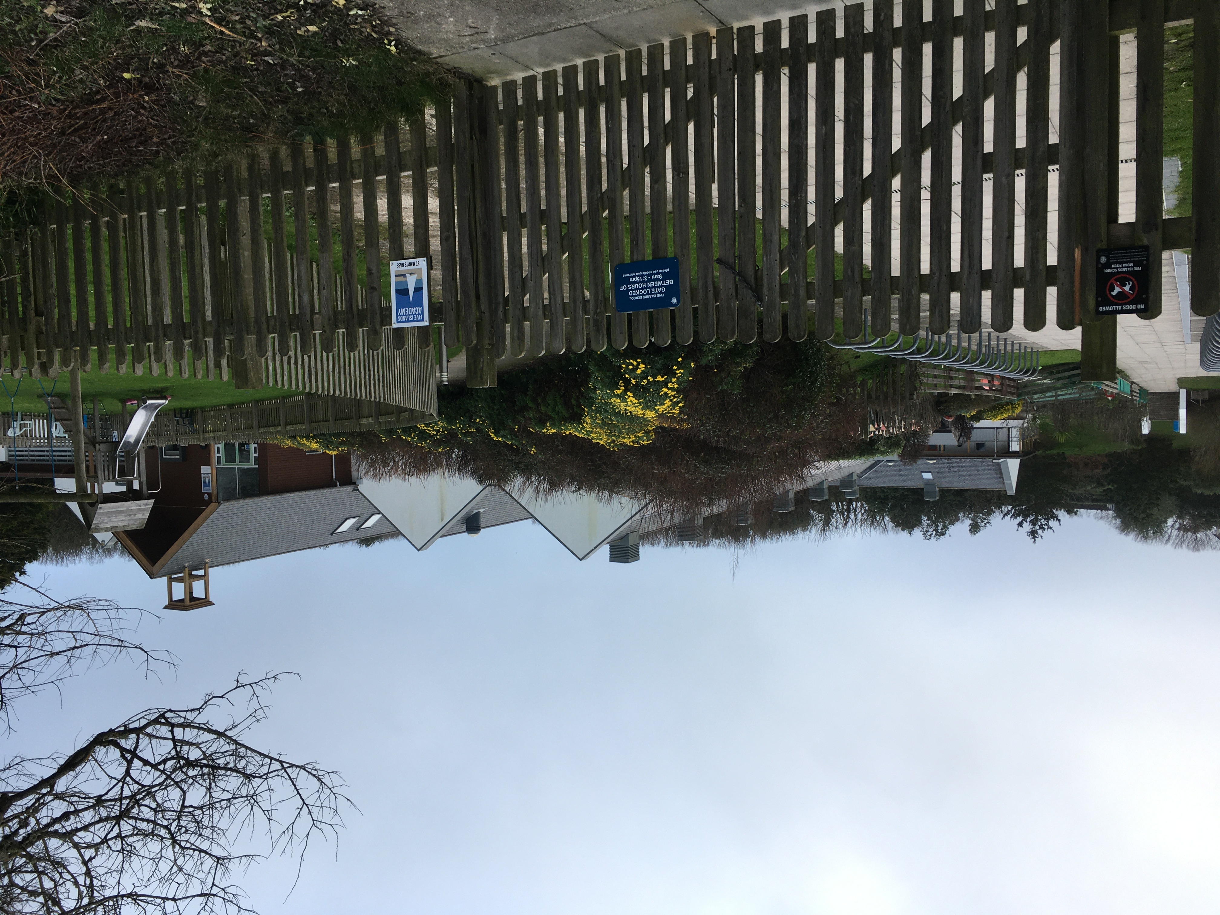
Five Islands Academy
Five Islands Academy, formerly Five Islands School, is the first federated school in the United Kingdom, providing primary and secondary education for...
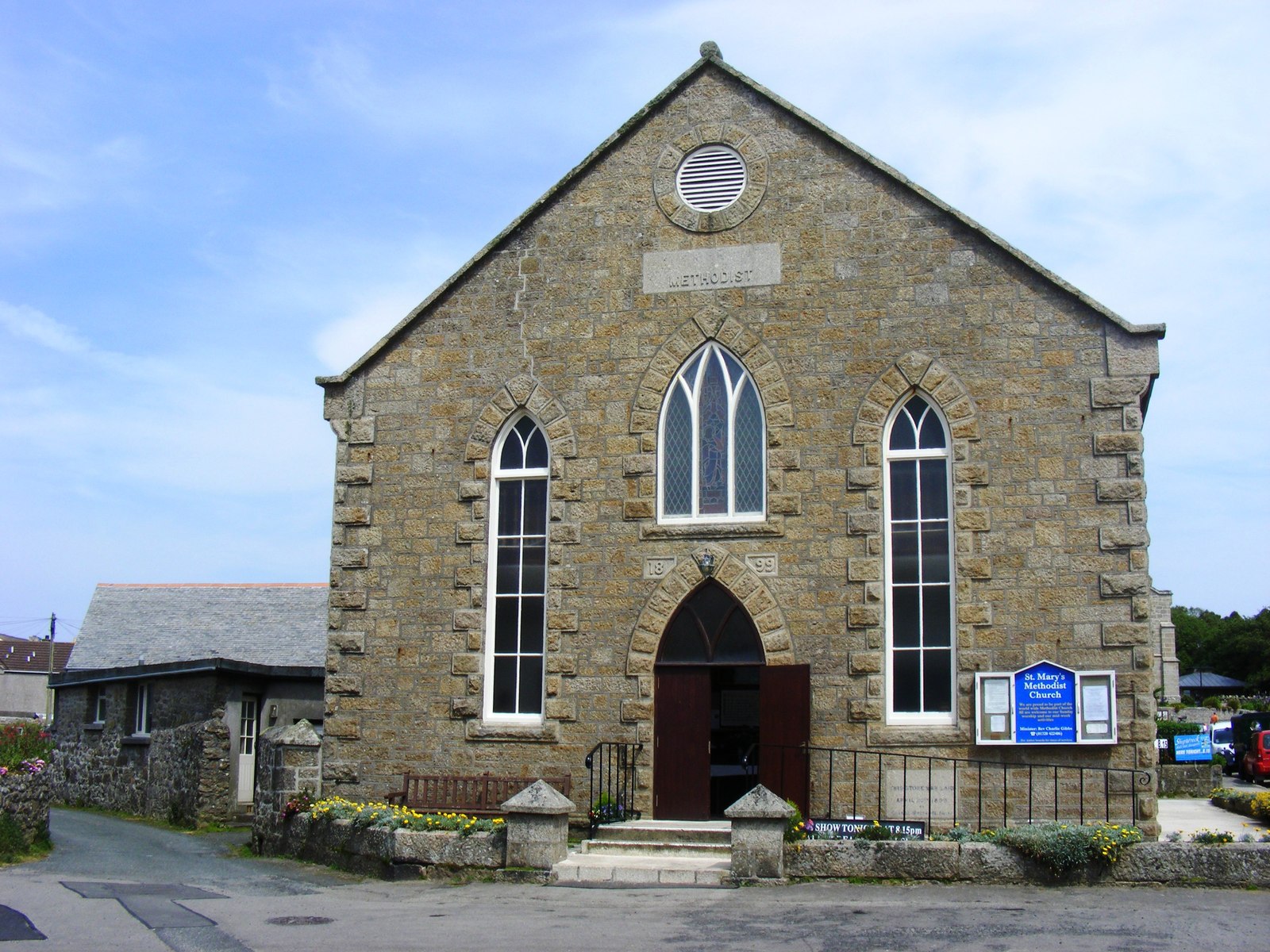
St Mary's Methodist Church, Isles of Scilly
St Mary's Methodist Church, Hugh Town is a Methodist church in Hugh Town, Isles of Scilly. It is currently Grade II listed. == History == Bible Christians...
Nearby Amenities
Located within 500m of 49.90876,-6.3112459Have you been to Nicholl's Rock?
Leave your review of Nicholl's Rock below (or comments, questions and feedback).