Carn Thomas
Coastal Feature, Headland, Point in Cornwall
England
Carn Thomas

Carn Thomas is a prominent headland located in Cornwall, England. Situated along the picturesque coastline, it is known for its rugged beauty and breathtaking views of the surrounding ocean. The headland extends out into the Atlantic Ocean, forming a distinctive point that juts into the water.
Carn Thomas is characterized by its sheer cliffs, which rise dramatically from the sea below. These cliffs are composed of granite, giving them a striking appearance and adding to the headland's overall allure. The rock formations are a result of millions of years of erosion and weathering, creating a unique and dynamic landscape.
The headland is also home to a diverse range of flora and fauna. The cliffs provide nesting sites for various seabirds, including gulls, puffins, and cormorants. Visitors to Carn Thomas may catch a glimpse of these birds soaring above the waves or perched on the cliff ledges.
For nature enthusiasts and adventurers, Carn Thomas offers numerous opportunities for exploration. There are several walking trails that wind along the headland, allowing visitors to immerse themselves in the stunning coastal scenery. The area is also popular for rock climbing, with climbers testing their skills on the challenging granite cliffs.
Carn Thomas is not only a natural wonder but also a place of historical significance. The headland is dotted with remnants of ancient settlements, including burial chambers and stone circles dating back thousands of years. These archaeological sites provide valuable insights into the region's rich and complex past.
Overall, Carn Thomas is a captivating coastal feature that showcases the beauty and diversity of Cornwall's landscape. Whether for its stunning cliffs, abundant wildlife, or historical significance, this headland is a must-visit destination for nature lovers and history enthusiasts alike.
If you have any feedback on the listing, please let us know in the comments section below.
Carn Thomas Images
Images are sourced within 2km of 49.916578/-6.3120001 or Grid Reference SV9010. Thanks to Geograph Open Source API. All images are credited.


Carn Thomas is located at Grid Ref: SV9010 (Lat: 49.916578, Lng: -6.3120001)
Division: Isles of Scilly
Unitary Authority: Isles of Scilly
Police Authority: Devon and Cornwall
What 3 Words
///display.barbarian.tracking. Near St Mary's, Isles of Scilly
Nearby Locations
Related Wikis
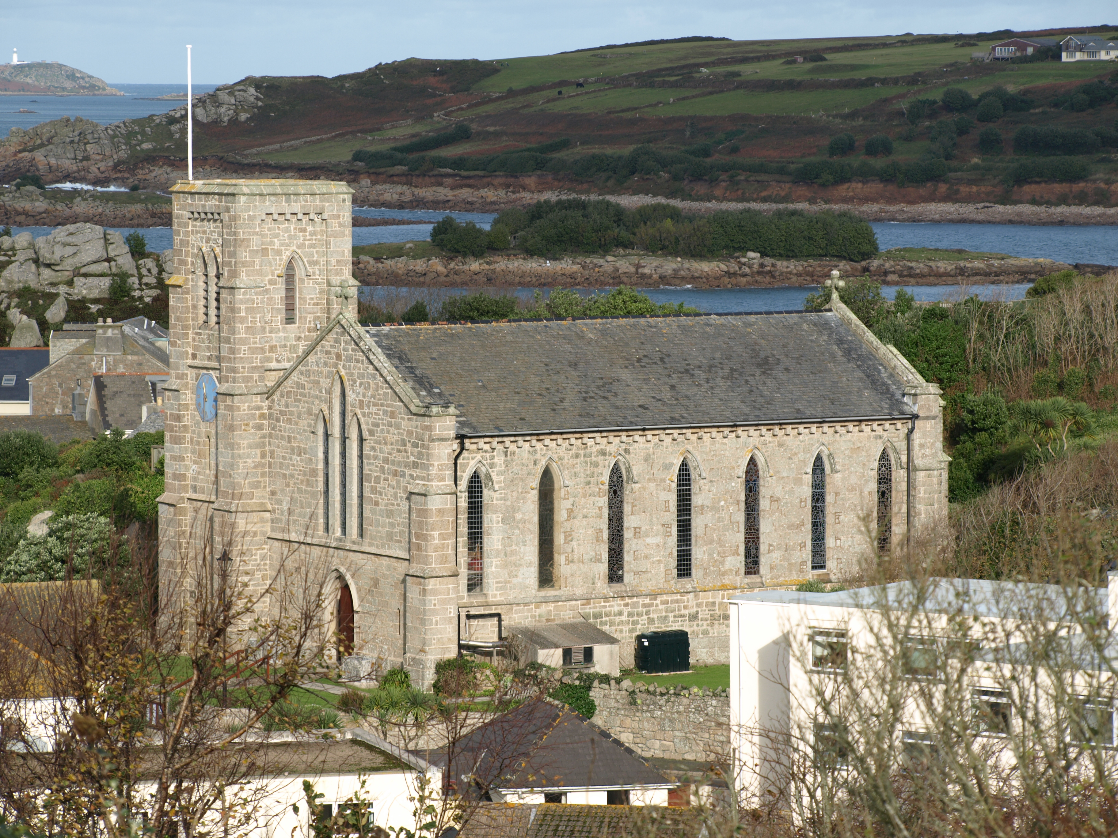
St Mary's Church, St Mary's
St Mary's Church, St Mary's is a parish church in the Church of England located in Hugh Town, St Mary's, Isles of Scilly, UK. The Church was consecrated...
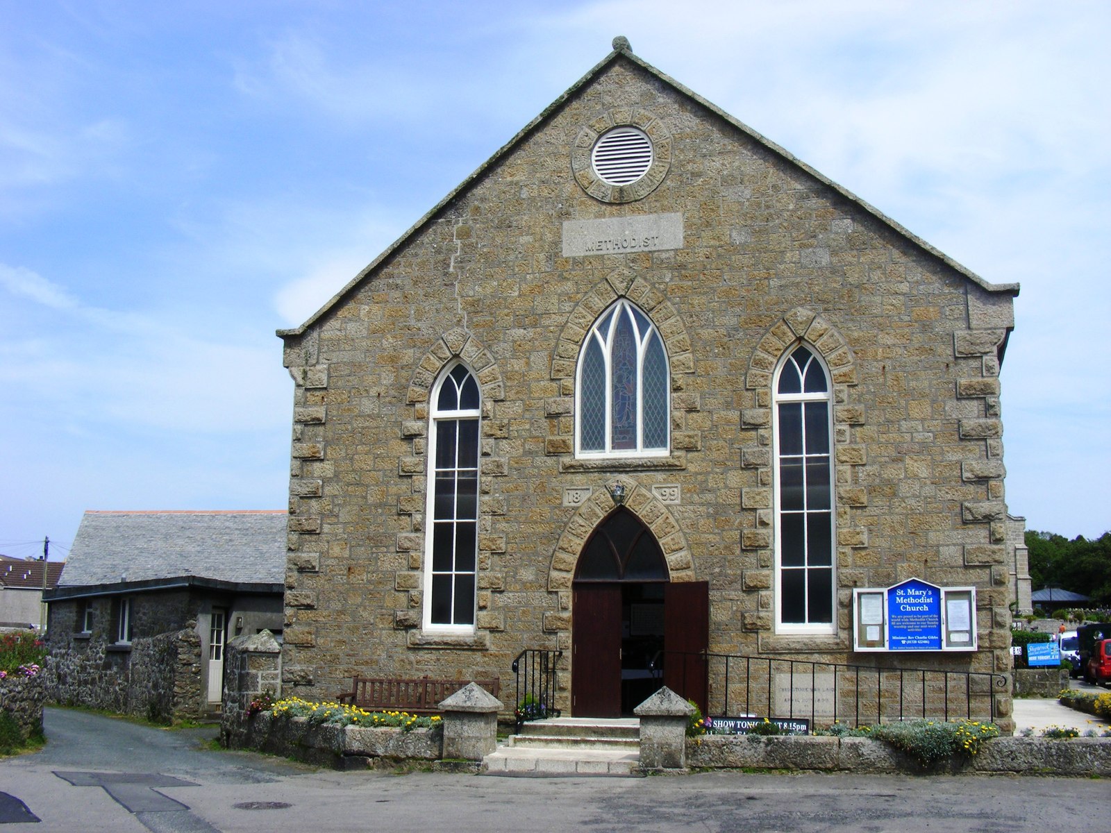
St Mary's Methodist Church, Isles of Scilly
St Mary's Methodist Church, Hugh Town is a Methodist church in Hugh Town, Isles of Scilly. It is currently Grade II listed. == History == Bible Christians...
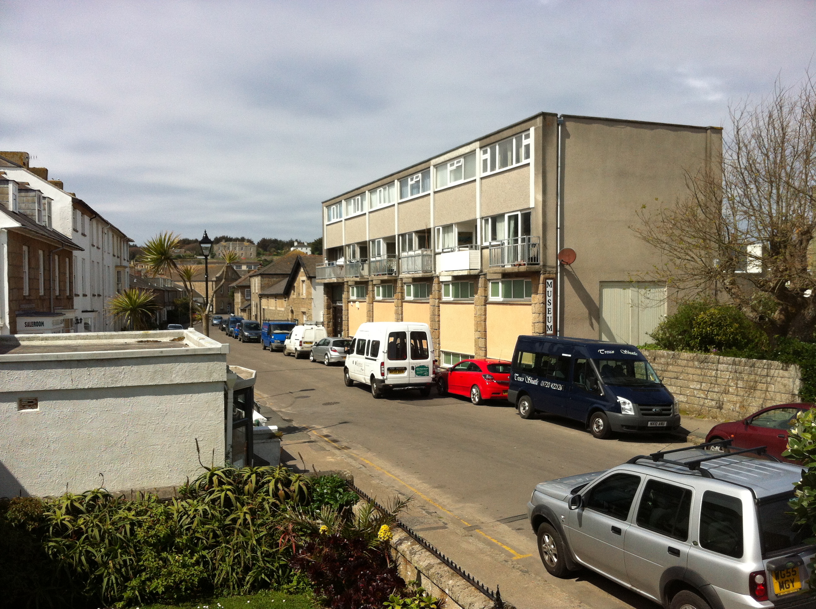
Isles of Scilly Museum
The Isles of Scilly Museum is a museum in the Isles of Scilly, off Cornwall, England. As of 2023 the museum has no building but displays a selection of...
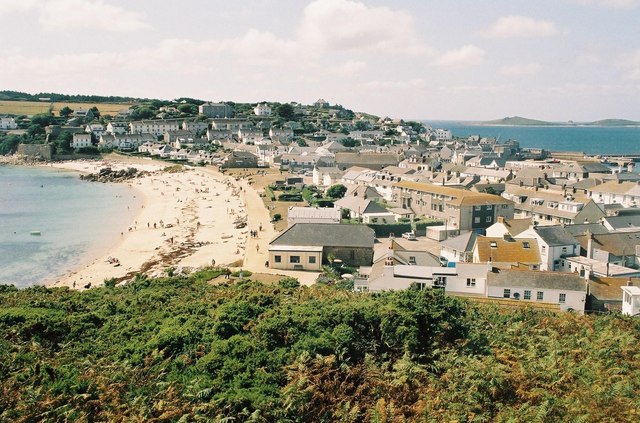
Hugh Town
Hugh Town (Cornish: Treworenys or Tre Huw) is the largest settlement on the Isles of Scilly and its administrative centre. The town is situated on the...
Nearby Amenities
Located within 500m of 49.916578,-6.3120001Have you been to Carn Thomas?
Leave your review of Carn Thomas below (or comments, questions and feedback).