St Mary's Pool
Bay in Cornwall
England
St Mary's Pool

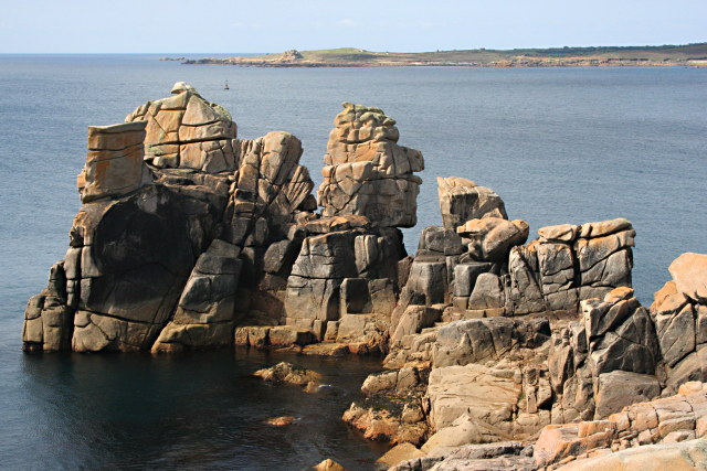
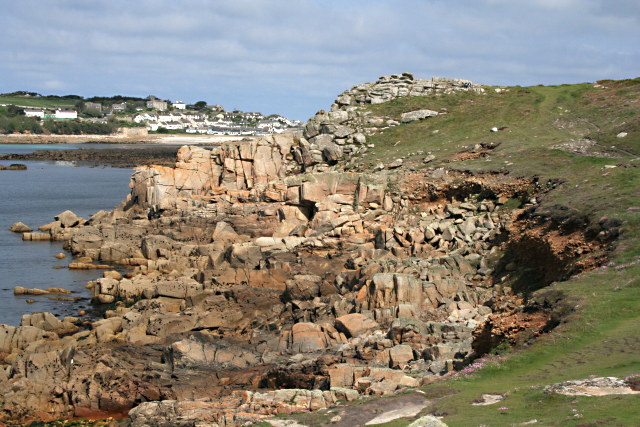
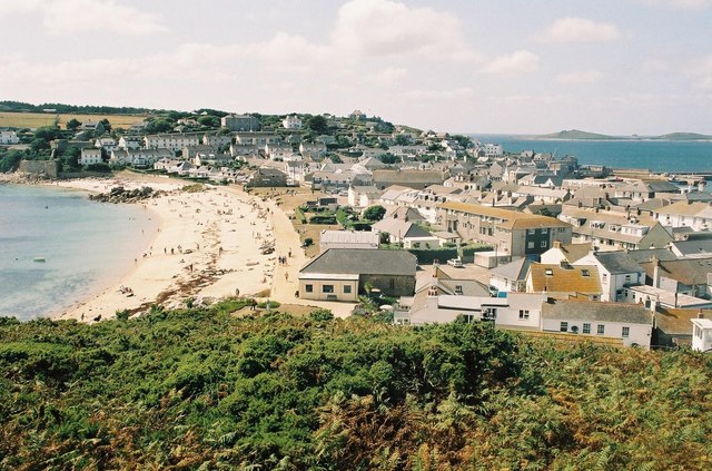
St Mary's Pool is a picturesque bay located on the southern coast of Cornwall, England. Situated near the small village of St Mary's, this hidden gem is known for its stunning natural beauty and tranquil atmosphere. The bay is nestled between rugged cliffs, creating a secluded and sheltered area that is popular among locals and tourists alike.
The beach at St Mary's Pool is composed of soft golden sand, which stretches for approximately 300 meters at low tide, providing ample space for sunbathing and beach activities. The crystal-clear turquoise waters are perfect for swimming and snorkeling, allowing visitors to explore the diverse marine life that inhabits the area.
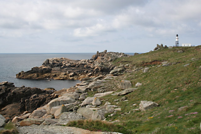
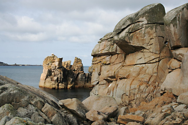
Surrounded by lush greenery and rolling hills, St Mary's Pool offers breathtaking views of the surrounding landscape. The bay is an ideal spot for nature lovers and photographers, with its unique rock formations and vibrant flora and fauna.
Facilities at St Mary's Pool are limited, as the bay remains relatively undeveloped. However, there is a small car park nearby, providing easy access for visitors. It is recommended to bring supplies and provisions, as there are no shops or cafes in the immediate vicinity.
St Mary's Pool is also a popular spot for coastal walks, with several scenic trails leading to nearby attractions such as St Mary's Church and the picturesque fishing village of Polperro. Overall, this hidden gem offers a peaceful and idyllic setting for those seeking a quiet retreat amidst Cornwall's natural beauty.
If you have any feedback on the listing, please let us know in the comments section below.
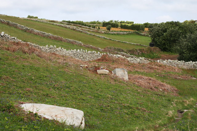
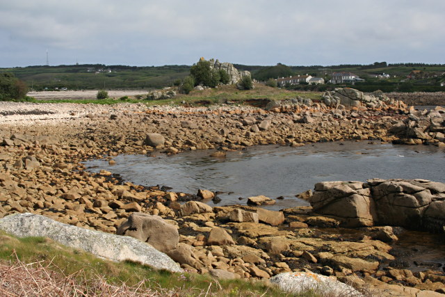
St Mary's Pool Images
Images are sourced within 2km of 49.918668/-6.314347 or Grid Reference SV9010. Thanks to Geograph Open Source API. All images are credited.


St Mary's Pool is located at Grid Ref: SV9010 (Lat: 49.918668, Lng: -6.314347)
Division: Isles of Scilly
Unitary Authority: Isles of Scilly
Police Authority: Devon and Cornwall
What 3 Words
///laughs.ketchup.dote. Near St Mary's, Isles of Scilly
Nearby Locations
Related Wikis
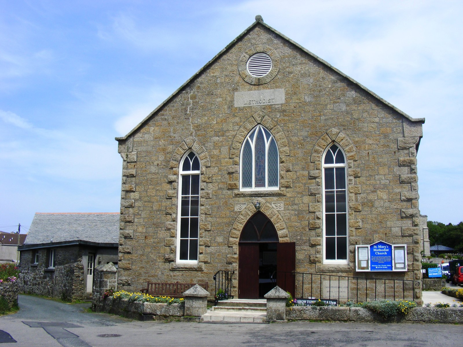
St Mary's Methodist Church, Isles of Scilly
St Mary's Methodist Church, Hugh Town is a Methodist church in Hugh Town, Isles of Scilly. It is currently Grade II listed. == History == Bible Christians...
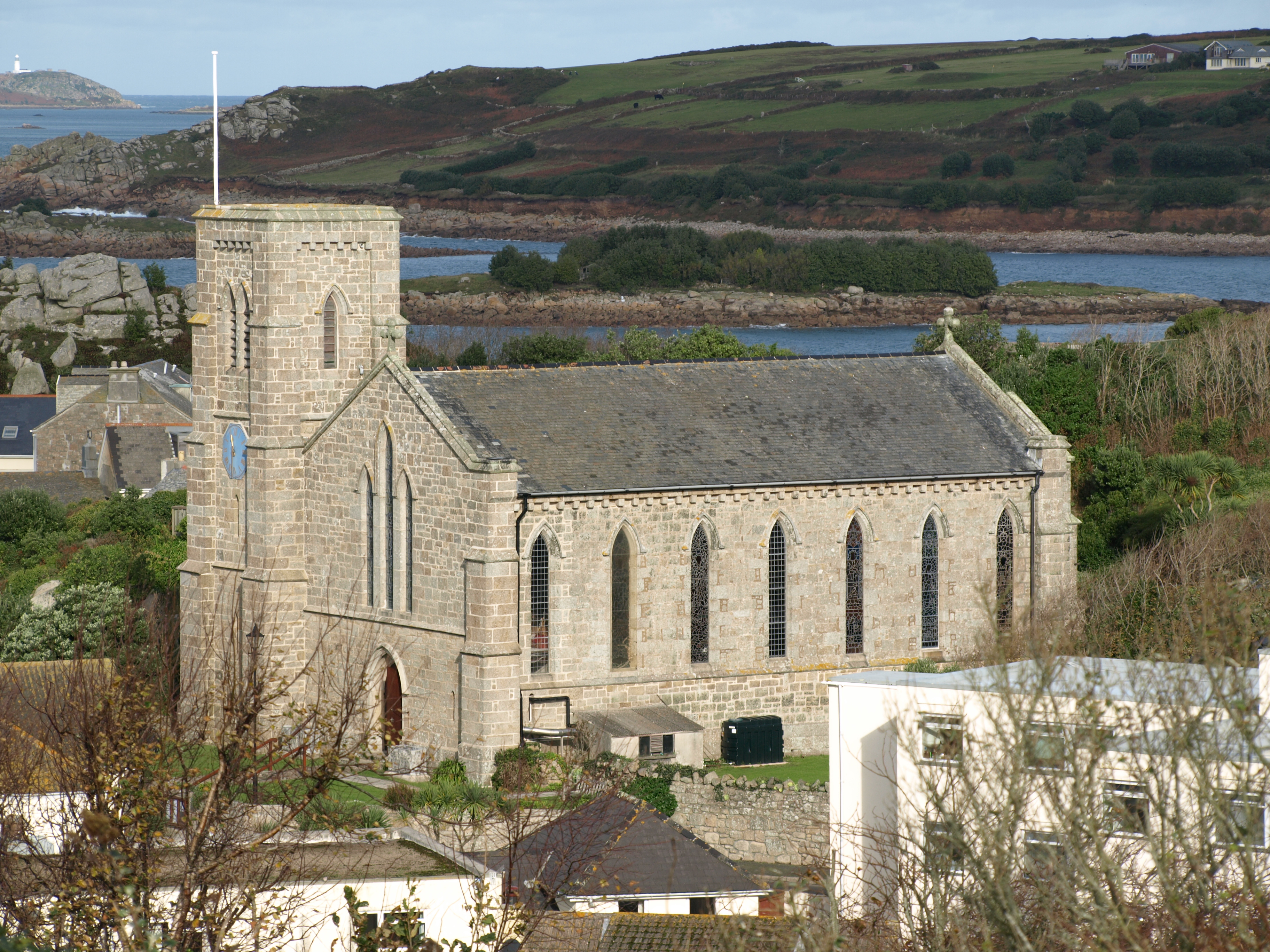
St Mary's Church, St Mary's
St Mary's Church, St Mary's is a parish church in the Church of England located in Hugh Town, St Mary's, Isles of Scilly, UK. The Church was consecrated...

Tregarthen's Hotel
Tregarthen's Hotel is a hotel in Hugh Town on St Mary's in the Isles of Scilly. Tregarthen's was the very first hotel to be established on the Isles of...
Hugh Town
Hugh Town (Cornish: Treworenys or Tre Huw) is the largest settlement on the Isles of Scilly and its administrative centre. The town is situated on the...
Nearby Amenities
Located within 500m of 49.918668,-6.314347Have you been to St Mary's Pool?
Leave your review of St Mary's Pool below (or comments, questions and feedback).