Morning Point

Coastal Feature, Headland, Point in Cornwall

England

Morning Point

Pillbox entrance On Tolman Point.
Pillbox entrance Credit: David Lally

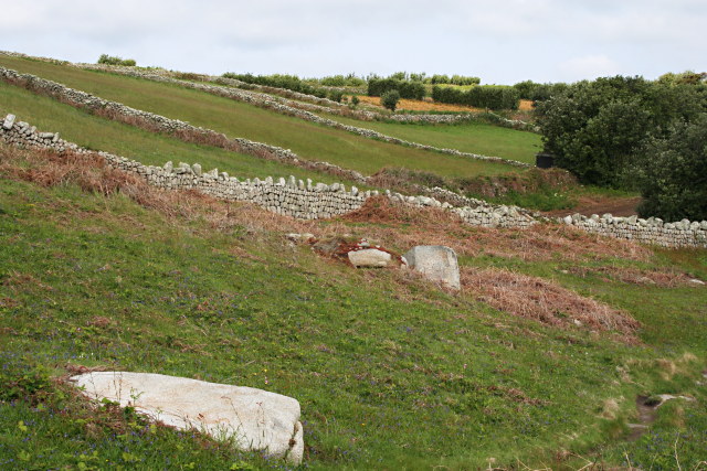
Morning Point is a prominent coastal feature located in Cornwall, England. Situated along the rugged Atlantic coastline, this headland juts out into the sea, offering breathtaking views and a picturesque landscape. The point is characterized by its towering cliffs, which are composed of sedimentary rocks, creating a dramatic and striking appearance.

The name "Morning Point" is derived from the fact that it receives the first rays of sunlight in the region, making it a popular spot for sunrise watchers and photographers. The point is easily accessible by a well-maintained footpath that winds its way along the cliffs, providing visitors with a stunning coastal walk.

At the tip of Morning Point, there is a small, sandy beach nestled between the cliffs. This secluded cove is a hidden gem and offers visitors a peaceful and tranquil spot to relax and enjoy the sound of crashing waves. During low tide, the beach expands, revealing a multitude of rock pools teeming with marine life, making it an ideal location for exploring and discovering fascinating creatures.

The headland is also home to a variety of seabirds, including gulls, cormorants, and fulmars. Their presence adds to the natural beauty and allure of Morning Point, making it a haven for birdwatchers and nature enthusiasts.

Overall, Morning Point is a captivating coastal feature that showcases the raw and untouched beauty of Cornwall's coastline. With its towering cliffs, pristine beach, and abundant wildlife, it offers visitors a truly immersive and awe-inspiring experience of the natural world.

If you have any feedback on the listing, please let us know in the comments section below.

Morning Point Images

Images are sourced within 2km of 49.907984/-6.3166106 or Grid Reference SV9009. Thanks to Geograph Open Source API. All images are credited.

Pillbox entrance On Tolman Point.
Pillbox entrance
On Tolman Point.
A fork in the path Compare with <a href="https://www.geograph.org.uk/photo/821812">SV8908 : A Fork in the Path</a> taken by me one day short of fifteen years ago.
A fork in the path
Compare with SV8908 : A Fork in the Path taken by me one day short of fifteen years ago.
Sunrise over Gugh
Sunrise over Gugh
Sunrise over Penninis Glad I decided to walk this way this morning.
Sunrise over Penninis
Glad I decided to walk this way this morning.
Dropnose just before sunrise
Tresco will be busy today Three cruise ships in The Road today.  No doubt the most popular shore trip will be to Tesco's famous sub-tropical gardens.  As long as they keep away from St Agnes, that will be fine.

The boat heading into Perconger is the St Agnes boating's sea taxi craft "Enterprise".
Tresco will be busy today
Three cruise ships in The Road today. No doubt the most popular shore trip will be to Tesco's famous sub-tropical gardens. As long as they keep away from St Agnes, that will be fine. The boat heading into Perconger is the St Agnes boating's sea taxi craft "Enterprise".
Rock formations at Peninnis Head
Morning Point, the Garrison Looking SE to the offshore rocks Wras and (behind and smaller) Biggal; Inner Head <a href="https://www.geograph.org.uk/gridref/SV908093">SV908093</a> (part of Peninnis Head) is just visible to the far left, on the other side of Porth Cressa bay. Note the passing storm on the horizon...
Morning Point, the Garrison
Looking SE to the offshore rocks Wras and (behind and smaller) Biggal; Inner Head SV908093 (part of Peninnis Head) is just visible to the far left, on the other side of Porth Cressa bay. Note the passing storm on the horizon...
Peninnis Head Looking SSE to the lighthouse from approx. SV910097.
Peninnis Head
Looking SSE to the lighthouse from approx. SV910097.
Old Town Bay from Peninnis There is a former Battery on the island to the right of the pine tree.
Old Town Bay from Peninnis
There is a former Battery on the island to the right of the pine tree.
Tolman Point Viewed from the north on the very edge of the square; note the WW2 pillbox.
Tolman Point
Viewed from the north on the very edge of the square; note the WW2 pillbox.
Lighthouse at Peninnis Head, St. Mary's The lighthouse guides shipping passing through St. Mary's Sound, between the islands of Agnes and St. Mary's.  The lattice-work construction reduces its wind resistance.
Lighthouse at Peninnis Head, St. Mary's
The lighthouse guides shipping passing through St. Mary's Sound, between the islands of Agnes and St. Mary's. The lattice-work construction reduces its wind resistance.
St. Mary’s: Peninnis Point Viewed from the ferry from Penzance shortly before arrival on the island.
St. Mary’s: Peninnis Point
Viewed from the ferry from Penzance shortly before arrival on the island.
Photographing the Rock Labyrinth The area between the lighthouse and the Outer Head is appropriately known as the Rock Labyrinth. In younger (and slimmer) days we would explore this fantastic maze of huge granite rocks.
Photographing the Rock Labyrinth
The area between the lighthouse and the Outer Head is appropriately known as the Rock Labyrinth. In younger (and slimmer) days we would explore this fantastic maze of huge granite rocks.
Carn Leh, St. Mary's, Scilly Isles
Footpath on Peninnis Head, St. Mary's, Scilly Isles
Granite Stone Walls Granite is pretty much the only rock there is on the Scillies and there's plenty of it, so it makes sense to build your field walls out of it.
Granite Stone Walls
Granite is pretty much the only rock there is on the Scillies and there's plenty of it, so it makes sense to build your field walls out of it.
Fields on the eastern side of Peninnis The field at the bottom of the hill on the right is being used for bulb growing, the others look as though they have been left to grass.
Fields on the eastern side of Peninnis
The field at the bottom of the hill on the right is being used for bulb growing, the others look as though they have been left to grass.
Show me another place!

Morning Point is located at Grid Ref: SV9009 (Lat: 49.907984, Lng: -6.3166106)

Division: Isles of Scilly

Unitary Authority: Isles of Scilly

Police Authority: Devon and Cornwall

What 3 Words

///baseless.major.scouted. Near St Mary's, Isles of Scilly

Related Wikis

Garrison Tower

Garrison Tower is a Grade II listed structure on St Mary's, Isles of Scilly The tower was built in the 17th century as a windmill. By 1750 it was abandoned...

Tamarisk, Isles of Scilly

Tamarisk, or Tamarisk House, is a house belonging to the Duchy of Cornwall, on St Mary's in the Isles of Scilly, in the United Kingdom off the coast of...

Buzza Tower

Buzza Tower is a Grade II listed structure on St Mary's, Isles of Scilly now used as a camera obscura. The tower was built in 1821 as a windmill. It was...

Wesleyan Methodist Church, Hugh Town

Wesleyan Methodist Church, Hugh Town, Isles of Scilly was a Wesleyan Methodist church in Hugh Town, Isles of Scilly from 1790. It is currently Grade II...

Nearby Amenities

Located within 500m of 49.907984,-6.3166106
Barrier: stile
Lat/Long: 49.9091148/-6.3189834
Barrier: entrance
Lat/Long: 49.9087384/-6.322553
Porth Cressa
Natural: bay
Lat/Long: 49.9116884/-6.3148622
Morning Point Battery
Historic: fort
Lat/Long: 49.9089138/-6.3183708
Woolpack Battery
Historic: fort
Lat/Long: 49.9085282/-6.3223398
Barrier: entrance
Lat/Long: 49.9086657/-6.3222543
Seamark Beacon Lateral Category: starboard
Seamark Beacon Lateral Colour: green
Seamark Beacon Lateral Shape: stake
Seamark Beacon Lateral System: iala-a
Seamark Light Character: Fl
Seamark Light Colour: green
Seamark Light Period: 5
Seamark Topmark Colour: green
Seamark Topmark Shape: cone, point up
Seamark Type: beacon_lateral
Lat/Long: 49.9066636/-6.3228672
The data included in this document is from www.openstreetmap.org. The data is made available under ODbL.

Have you been to Morning Point?

Leave your review of Morning Point below (or comments, questions and feedback).