Acharn

Settlement in Angus

Scotland

Acharn

The White Water burn The burn flows through Glen Doll.
The White Water burn Credit: Iain Russell

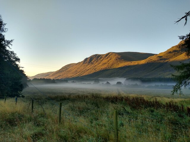
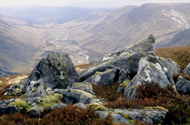
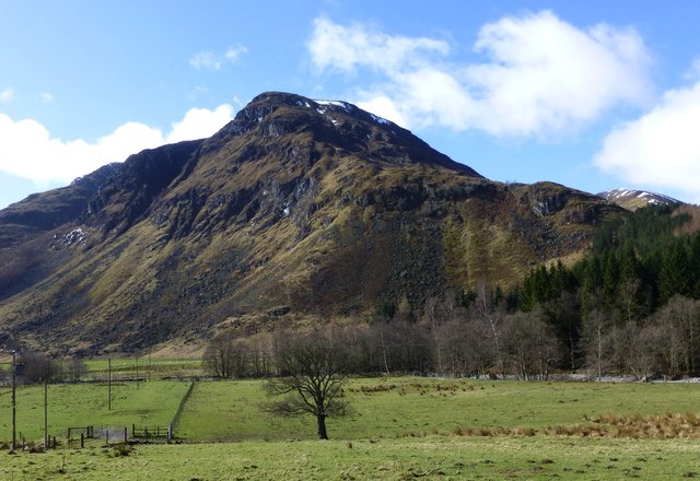
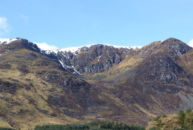
Acharn is a small rural village located in the county of Angus, Scotland. Nestled amidst the stunning landscape of the Cairngorms National Park, Acharn offers breathtaking views and a peaceful atmosphere that attracts nature enthusiasts and outdoor adventurers alike.

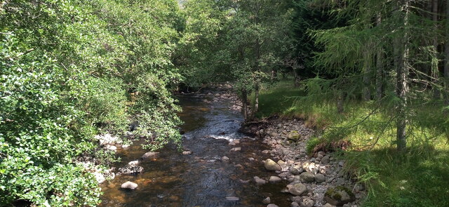
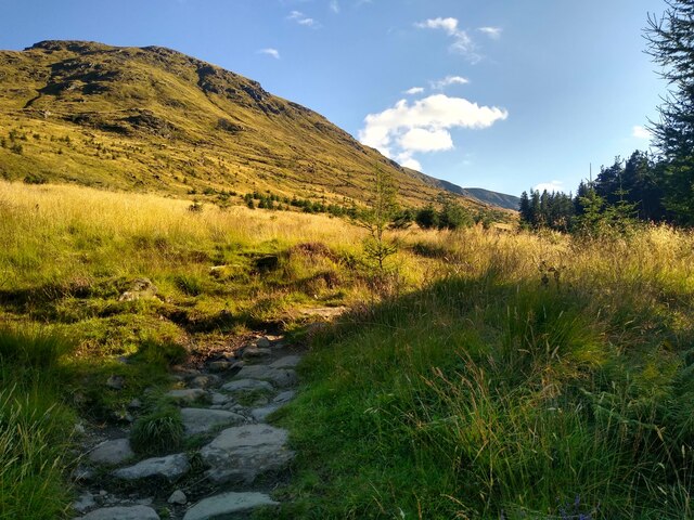
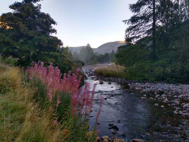
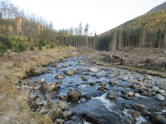
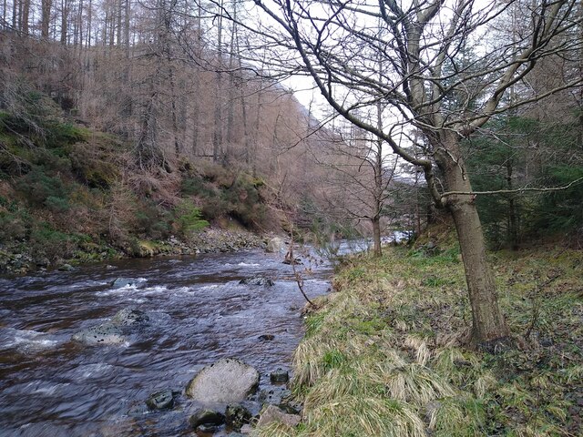
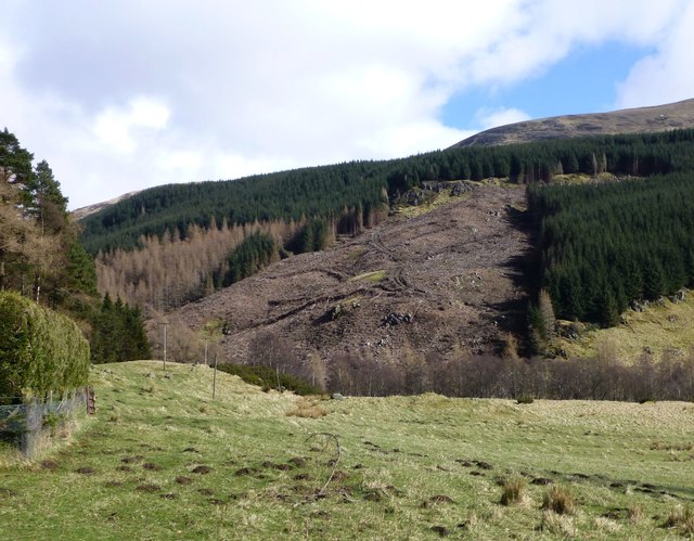
The village is situated on the banks of Loch Tay, one of Scotland's largest freshwater lakes, providing residents and visitors with a picturesque setting for various water activities such as fishing, kayaking, and sailing. The surrounding hills and mountains offer numerous hiking trails, making Acharn an ideal destination for those who enjoy exploring the great outdoors.

Despite its small size, Acharn boasts a strong sense of community, with friendly locals who take pride in their heritage and culture. Traditional Scottish music and dance events are held regularly, allowing visitors to immerse themselves in the rich cultural traditions of the region.

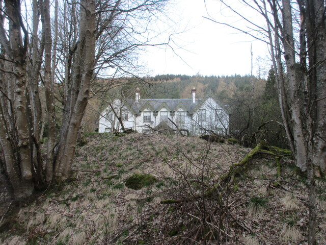
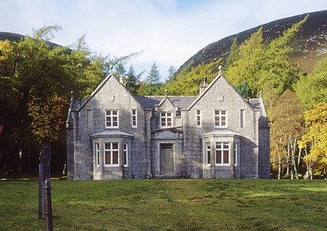
Acharn is also known for its historical landmarks, including the Acharn Old Kirk, a charming 18th-century church that adds to the village's character and charm. The nearby ruins of a castle and ancient burial sites provide a glimpse into the region's fascinating past.

While Acharn is primarily a rural village, it is conveniently located near larger towns, such as Aberfeldy and Pitlochry, which offer a wider range of amenities, including shops, restaurants, and accommodation options.

Overall, Acharn is a hidden gem in the Scottish countryside, where visitors can enjoy the tranquility of nature, immerse themselves in local culture, and explore the rich history of the area.

If you have any feedback on the listing, please let us know in the comments section below.
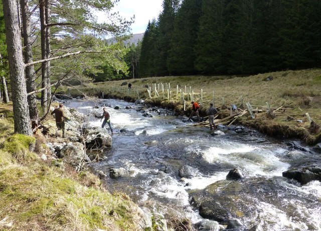
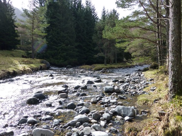
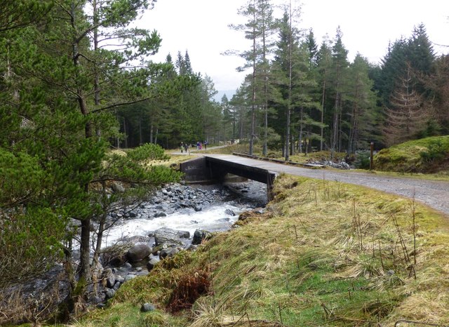
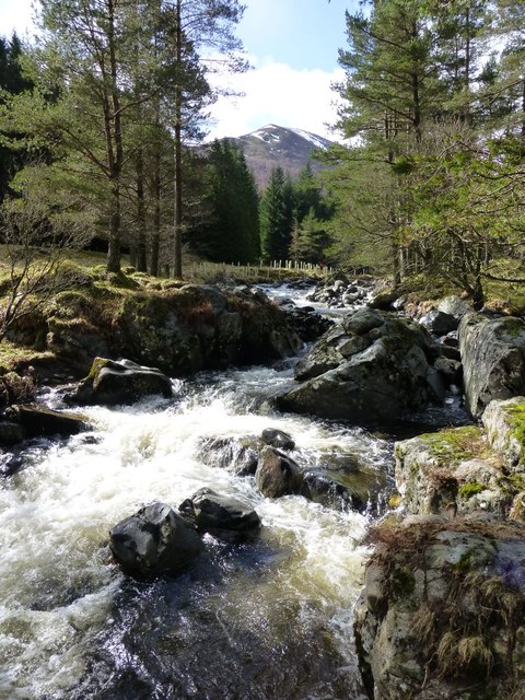
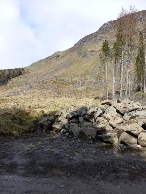
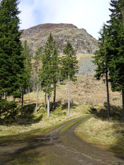
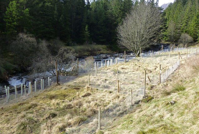
Acharn Images

Images are sourced within 2km of 56.869794/-3.182725 or Grid Reference NO2876. Thanks to Geograph Open Source API. All images are credited.

The White Water burn The burn flows through Glen Doll.
The White Water burn
The burn flows through Glen Doll.
Kilbo Path Here the Kilbo Path leaves the forest and reaches the (mostly) open hillside. It will once again cross through a bit of woodland further up.
Kilbo Path
Here the Kilbo Path leaves the forest and reaches the (mostly) open hillside. It will once again cross through a bit of woodland further up.
Morning fog in Glen Doll September begins with a clear sky and a low layer of fog over the floor of Glen Doll.
Morning fog in Glen Doll
September begins with a clear sky and a low layer of fog over the floor of Glen Doll.
Fog over the river The morning fog is still hanging over the River South Esk. Photographed just a few metres away from the public carpark.
Fog over the river
The morning fog is still hanging over the River South Esk. Photographed just a few metres away from the public carpark.
Glendoll Lodge Glendoll Lodge from the track to the south.
Glendoll Lodge
Glendoll Lodge from the track to the south.
White Water The White Water in Glen Doll, looking upstream through the storm damaged forest.
White Water
The White Water in Glen Doll, looking upstream through the storm damaged forest.
River South Esk Just to the right of this place there is a designated camping area (without any facilities).
River South Esk
Just to the right of this place there is a designated camping area (without any facilities).
On Craig Mellon at the head of Glen Clova
Work party planting trees beside White Water  The first problem is to get the posts and fencing across the river to make an enclosure to keep out the deer before planting any trees.
Work party planting trees beside White Water
The first problem is to get the posts and fencing across the river to make an enclosure to keep out the deer before planting any trees.
White Water in Glen Doll An island in mid stream.
White Water in Glen Doll
An island in mid stream.
Forestry bridge over the White Water In Glen Doll.
Forestry bridge over the White Water
In Glen Doll.
Cascade on the White Water Shank of Drumfollow in the distance.
Cascade on the White Water
Shank of Drumfollow in the distance.
Pile of rocks beside track Not the usual cairn!
Craig Mellon in the background with its lower slopes clear felled.
Pile of rocks beside track
Not the usual cairn! Craig Mellon in the background with its lower slopes clear felled.
Forest track  On lower slopes of Craig Mellon
Forest track
On lower slopes of Craig Mellon
Enclosure to keep out deer To protect recently planted broad-leafed trees.
Beside White Water.
Enclosure to keep out deer
To protect recently planted broad-leafed trees. Beside White Water.
The Scorrie Viewed from Acharn.
The Shank of Drumfollow just visible on the right.
The Scorrie
Viewed from Acharn. The Shank of Drumfollow just visible on the right.
Clear felling on lower slopes of Cairn Derg What a mess!
Clear felling on lower slopes of Cairn Derg
What a mess!
Winter Corrie, Glen Clova With a little snow in the gullies and remnants of cornices.
Winter Corrie, Glen Clova
With a little snow in the gullies and remnants of cornices.
Show me another place!

Acharn is located at Grid Ref: NO2876 (Lat: 56.869794, Lng: -3.182725)

Unitary Authority: Angus

Police Authority: Tayside

What 3 Words

///regretted.marinated.workroom. Near Ballater, Aberdeenshire

Nearby Locations

Acharn

Related Wikis

Nearby Amenities

Located within 500m of 56.869794,-3.182725
Ford: yes
Lat/Long: 56.8698477/-3.1816236
Acharn
Name Gd: Achadh Chàrn
Place: hamlet
Lat/Long: 56.8715406/-3.1794895
Toilets
Access: yes
Toilets Disposal: flush
Lat/Long: 56.8713478/-3.1777107
The Doll
Place: isolated_dwelling
Lat/Long: 56.8691687/-3.1837322
Information: board
Tourism: information
Lat/Long: 56.8711164/-3.1776103
Bicycle Parking
Bicycle Parking: stands
Capacity: 8
Lat/Long: 56.8712249/-3.1774709
Power: pole
Lat/Long: 56.868015/-3.1752921
Power: pole
Lat/Long: 56.8684289/-3.1760621
Power: pole
Lat/Long: 56.8688435/-3.1768719
Power: pole
Lat/Long: 56.8693009/-3.1777286
Power: pole
Lat/Long: 56.8697528/-3.1785825
Power: pole
Lat/Long: 56.8700316/-3.1791209
Power: pole
Lat/Long: 56.8705169/-3.1800202
Power: pole
Lat/Long: 56.8710775/-3.1811071
Power: pole
Lat/Long: 56.8714339/-3.1817904
Power: pole
Lat/Long: 56.871555/-3.1829412
Power: pole
Lat/Long: 56.8716513/-3.1839585
Power: pole
Lat/Long: 56.8717351/-3.1849302
Power: pole
Lat/Long: 56.8723811/-3.1852314
Power: pole
Lat/Long: 56.8710441/-3.1793496
Power: pole
Lat/Long: 56.8714308/-3.1788439
Power: pole
Lat/Long: 56.8715069/-3.1788041
Power: pole
Lat/Long: 56.8721482/-3.1780824
Power: pole
Lat/Long: 56.8725085/-3.1775851
Power: pole
Lat/Long: 56.8728089/-3.1768691
Power: pole
Lat/Long: 56.870697/-3.1812477
Power: pole
Lat/Long: 56.8703165/-3.1814097
Power: pole
Lat/Long: 56.8700323/-3.1815205
Power: pole
Lat/Long: 56.869773/-3.1818899
Power: pole
Lat/Long: 56.8696876/-3.1822536
Power: pole
Lat/Long: 56.8695369/-3.1829753
Power: pole
Lat/Long: 56.869384/-3.18368
Tourism: picnic_site
Lat/Long: 56.8710163/-3.1766151
The data included in this document is from www.openstreetmap.org. The data is made available under ODbL.

Have you been to Acharn?

Leave your review of Acharn below (or comments, questions and feedback).