Rubha fo Dheas

Coastal Feature, Headland, Point in Inverness-shire

Scotland

Rubha fo Dheas

Junction on the path to Aird Horragaigh, South Uist From the end of the tarred road, an excellent grass track heads south. Although it deteriorates a little, it still makes a great afternoon walk.
Junction on the path to Aird Horragaigh, South Uist Credit: AlastairG

Rubha fo Dheas is a prominent coastal feature located in Inverness-shire, Scotland. Also known as the South Headland, it stretches out into the North Atlantic Ocean, marking the southernmost point of the Inverness-shire coastline. The headland is situated approximately 15 miles south of Inverness, the main city in the region.

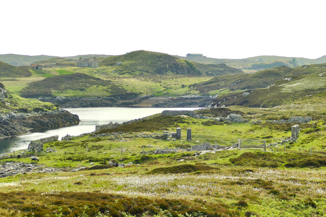
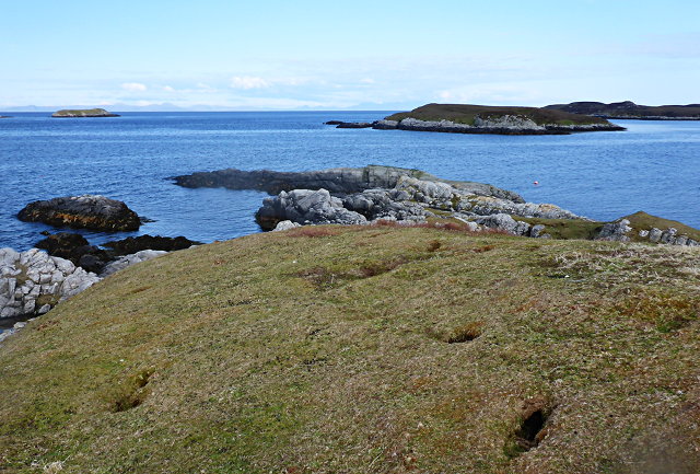
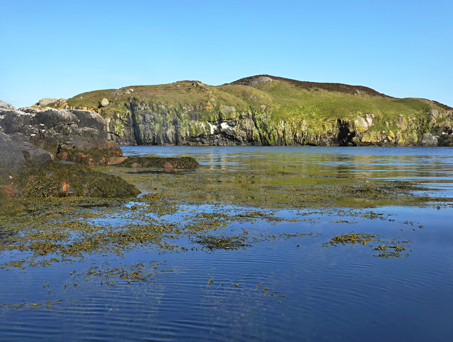
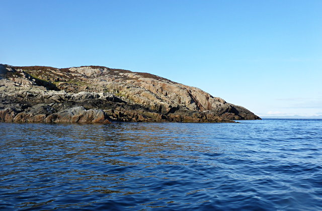
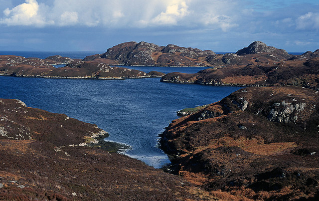
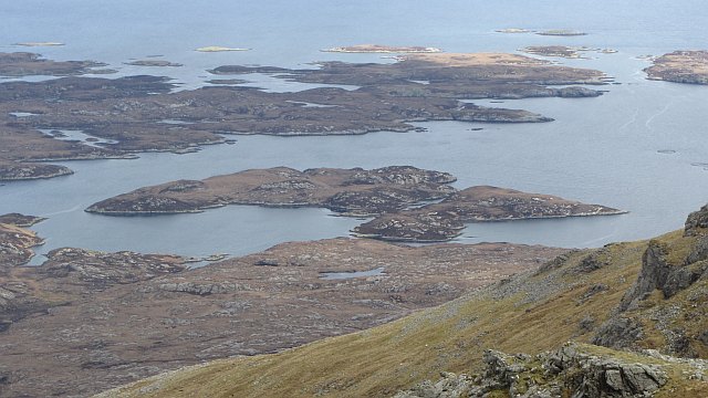
With its rugged cliffs and breathtaking views, Rubha fo Dheas is a popular destination for nature enthusiasts and photographers. The headland offers panoramic vistas of the surrounding coastal landscape, including the vast expanse of the ocean and the nearby hills. The cliffs, rising up to 100 feet in some places, provide a dramatic backdrop to the crashing waves below.

The area is abundant in marine wildlife, making it an ideal spot for birdwatching and seal spotting. Various bird species, such as gannets, puffins, and razorbills, can be observed nesting on the cliffs during the breeding season. Visitors may also catch a glimpse of seals basking on the rocks or swimming in the waters around the headland.

Access to Rubha fo Dheas is relatively easy, with a well-maintained coastal path leading to the point. The path offers a pleasant walking experience, allowing visitors to immerse themselves in the natural beauty of the surroundings. However, caution is advised when venturing close to the cliff edges, as they can be unstable in some areas.

Overall, Rubha fo Dheas is a captivating coastal feature that showcases the raw beauty of the Inverness-shire coastline. Its stunning views, diverse wildlife, and accessibility make it a must-visit destination for nature lovers and outdoor enthusiasts alike.

If you have any feedback on the listing, please let us know in the comments section below.

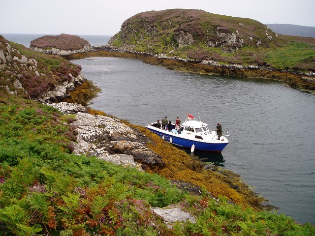
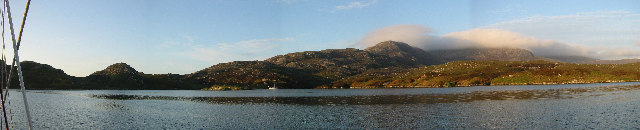
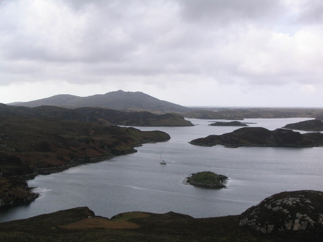
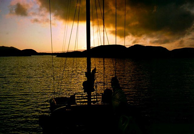
Rubha fo Dheas Images

Images are sourced within 2km of 57.335571/-7.2315508 or Grid Reference NF8539. Thanks to Geograph Open Source API. All images are credited.
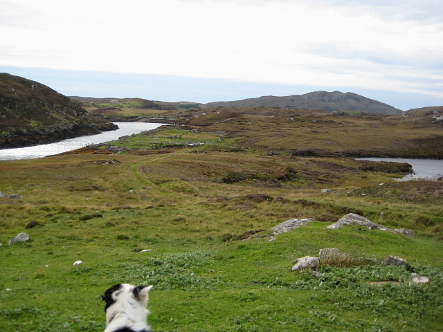
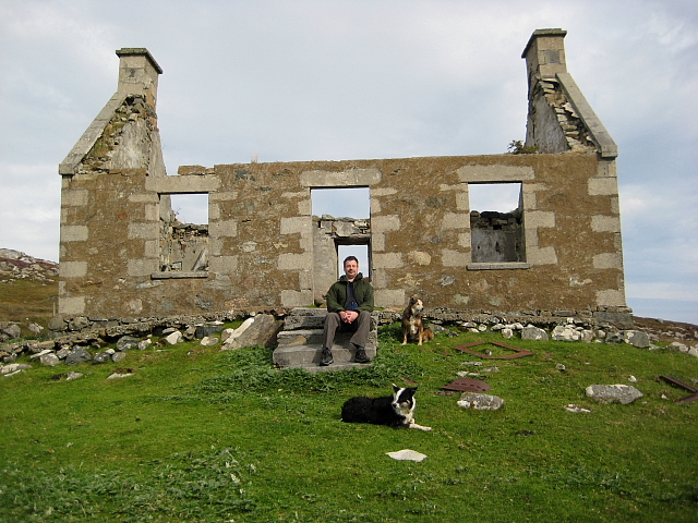
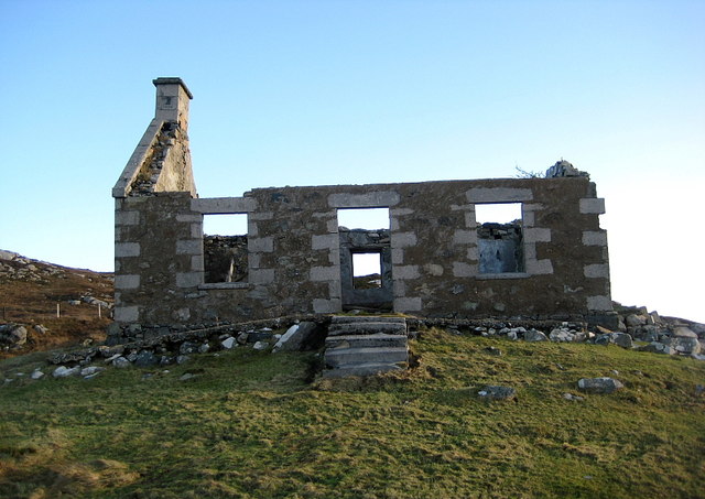
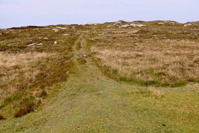
Junction on the path to Aird Horragaigh, South Uist From the end of the tarred road, an excellent grass track heads south. Although it deteriorates a little, it still makes a great afternoon walk.
Junction on the path to Aird Horragaigh, South Uist
From the end of the tarred road, an excellent grass track heads south. Although it deteriorates a little, it still makes a great afternoon walk.
Schoolmaster's house, East Gerinish Standing on the hillside near a ruined croft, the schoolmaster's house would have had a commanding view over the school below.  <a href="https://www.geograph.org.uk/photo/7514077">NF8339 : View of East Gerinish school from the schoolmaster's house</a>
Schoolmaster's house, East Gerinish
Standing on the hillside near a ruined croft, the schoolmaster's house would have had a commanding view over the school below. NF8339 : View of East Gerinish school from the schoolmaster's house
View of East Gerinish school from the schoolmaster's house The schoolmaster would have missed nothing from this viewpoint.  <a href="https://www.geograph.org.uk/photo/7514071">NF8339 : Schoolmaster's house, East Gerinish</a> The three pillars on the right on the school 'enclosure' frame the girls' and boys' gates.  <a href="https://www.geograph.org.uk/photo/7514055">NF8339 : 19th century East Gerinish school at Aird Horragaigh</a>
View of East Gerinish school from the schoolmaster's house
The schoolmaster would have missed nothing from this viewpoint. NF8339 : Schoolmaster's house, East Gerinish The three pillars on the right on the school 'enclosure' frame the girls' and boys' gates. NF8339 : 19th century East Gerinish school at Aird Horragaigh
Eilean Mhic'ille Phadruig I think the burrows are puffin nests.
Eilean Mhic'ille Phadruig
I think the burrows are puffin nests.
Liursaigh Glas
Liursaigh Glas
Southern tip of Liursaigh Dubh
Fish farming near Eilean Ornais
Bagh a Mhanaich Bagh a Mhanaich and the site of the old school house (in the middle distance along side the water).
Bagh a Mhanaich
Bagh a Mhanaich and the site of the old school house (in the middle distance along side the water).
Ruined Croft House Overlooking the site of the school house. There are several older ruins just to the north.
Ruined Croft House
Overlooking the site of the school house. There are several older ruins just to the north.
Caolas Mòr Caolas Mòr - The great anchorage.  As impressive a location from the land as from a boat at anchor. <a href="https://www.geograph.org.uk/photo/334015">NF8438 : At anchor in Caolas Mòr - the great anchorage</a> and <a href="https://www.geograph.org.uk/photo/599470">NF8438 : Caolas Mòr - the great anchorage</a>.
Caolas Mòr
Caolas Mòr - The great anchorage. As impressive a location from the land as from a boat at anchor. NF8438 : At anchor in Caolas Mòr - the great anchorage and NF8438 : Caolas Mòr - the great anchorage.
Wild lilies on lake near Loch Skiport
Siolaigh Mòr Island off South Uist, seen from Hecla.
Siolaigh Mòr
Island off South Uist, seen from Hecla.
Continuing Collapse The storms of December 2013 have robbed this ruin of its southern gable end.
See <a href="https://www.geograph.org.uk/photo/2593729">NF8339 : Ruined Croft House</a>
Continuing Collapse
The storms of December 2013 have robbed this ruin of its southern gable end. See NF8339 : Ruined Croft House
Natural harbour, Acarsaid Falaich The boat belongs to the owners of the local big house, who had landed on this remote part of the east coast of South Uist for a picnic!
Natural harbour, Acarsaid Falaich
The boat belongs to the owners of the local big house, who had landed on this remote part of the east coast of South Uist for a picnic!
Wizard Pool, Loch Skipport panorama of the anchorage of Wizard Pool. The mountain in the distance, partially in cloud, is Hecla (606m)
Wizard Pool, Loch Skipport
panorama of the anchorage of Wizard Pool. The mountain in the distance, partially in cloud, is Hecla (606m)
Wizard Pool, Loch Skiport
At anchor in Caolas Mòr - the great anchorage Caolas Mòr is a very well protected anchorage at the entrance to Loch Skiport.  The entrance to the anchorage is to the northwest - the direction of sunset in midsummer. The yacht is the 14.7 m long Ismana built in 1951.  See <span class="nowrap"><a title="http://www.sandemanyachtcompany.co.uk/yacht/272/laurent-giles-47-ft-yawl-1951" rel="nofollow ugc noopener" href="http://www.sandemanyachtcompany.co.uk/yacht/272/laurent-giles-47-ft-yawl-1951">Link</a><img style="margin-left:2px;" alt="External link" title="External link - shift click to open in new window" src="https://s1.geograph.org.uk/img/external.png" width="10" height="10"/></span>.  The yacht provided an excellent base for exploring the Hebrides.
At anchor in Caolas Mòr - the great anchorage
Caolas Mòr is a very well protected anchorage at the entrance to Loch Skiport. The entrance to the anchorage is to the northwest - the direction of sunset in midsummer. The yacht is the 14.7 m long Ismana built in 1951. See LinkExternal link. The yacht provided an excellent base for exploring the Hebrides.
Path to Loch Sgiopoirt This path leads towards some now abandoned crofting communities on the shores of Loch Sgiopoirt [Loch Skipport]. There was once a school, to which one family sent 13 children.  Now this is a very quiet corner of South Uist.
Path to Loch Sgiopoirt
This path leads towards some now abandoned crofting communities on the shores of Loch Sgiopoirt [Loch Skipport]. There was once a school, to which one family sent 13 children. Now this is a very quiet corner of South Uist.
Show me another place!

Rubha fo Dheas is located at Grid Ref: NF8539 (Lat: 57.335571, Lng: -7.2315508)

Unitary Authority: Na h-Eileanan an Iar

Police Authority: Highlands and Islands

What 3 Words

///pollution.reinstate.sensibly. Near Balivanich, Na h-Eileanan Siar

Related Wikis

Ushenish Lighthouse

The Ushenish Lighthouse is an active lighthouse located in South Uist, Outer Hebrides, Scotland. == History == Ushenish Lighthouse was designed by engineers...

Hecla (South Uist)

Hecla or Thacla is a mountain on the island of South Uist in the Outer Hebrides of Scotland. With a height of 606 metres (1,988 ft), it is the second-highest...

Loch Druidibeg

Loch Druidibeag is a freshwater loch situated on the island of South Uist, in the Outer Hebrides of Scotland. The loch is near the northern end of the...

Eilean na Cille

Eilean na Cille, south east of Benbecula is an island of the Outer Hebrides connected to Grimsay (South) by a causeway which carries the B891. The road...

Nearby Amenities

Located within 500m of 57.335571,-7.2315508
Rubha fo Dheas
Natural: cape
Lat/Long: 57.3357254/-7.2312005
The data included in this document is from www.openstreetmap.org. The data is made available under ODbL.

Have you been to Rubha fo Dheas?

Leave your review of Rubha fo Dheas below (or comments, questions and feedback).