Cnoc Dubh Luirsay

Hill, Mountain in Inverness-shire

Scotland

Cnoc Dubh Luirsay

Junction on the path to Aird Horragaigh, South Uist From the end of the tarred road, an excellent grass track heads south. Although it deteriorates a little, it still makes a great afternoon walk.
Junction on the path to Aird Horragaigh, South Uist Credit: AlastairG

The requested URL returned error: 429 Too Many Requests

If you have any feedback on the listing, please let us know in the comments section below.

Cnoc Dubh Luirsay Images

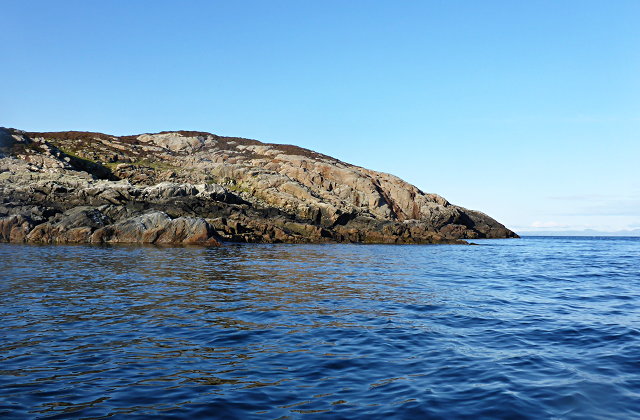
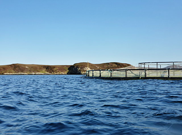
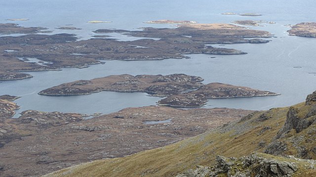
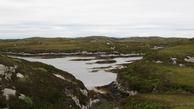
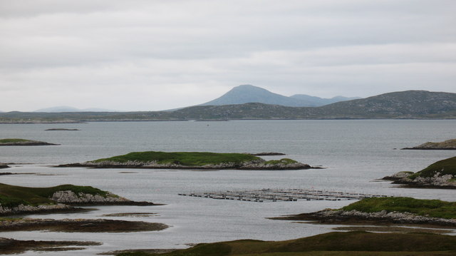
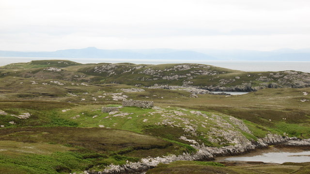
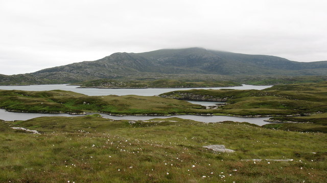
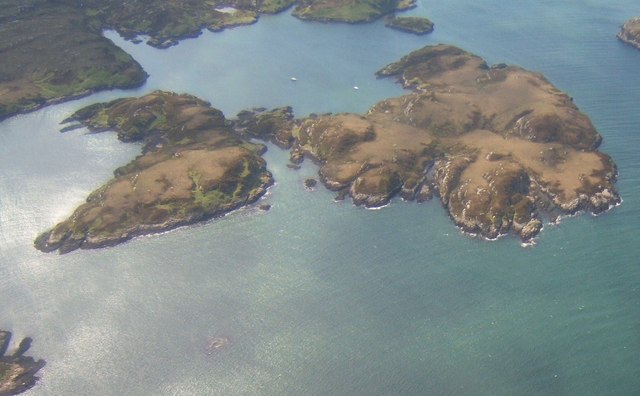
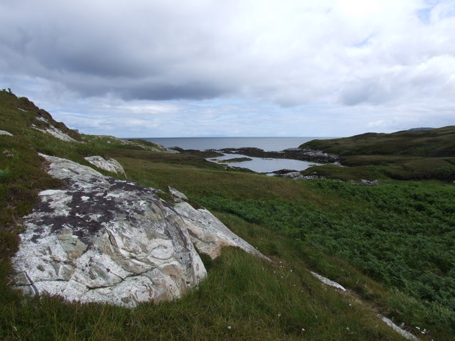
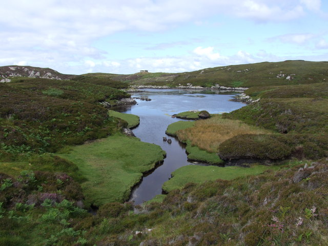
Images are sourced within 2km of 57.340759/-7.2277638 or Grid Reference NF8539. Thanks to Geograph Open Source API. All images are credited.
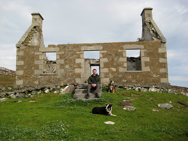
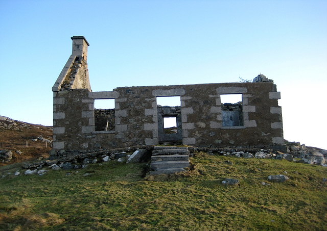
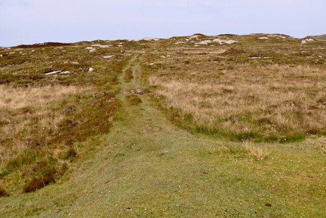
Junction on the path to Aird Horragaigh, South Uist From the end of the tarred road, an excellent grass track heads south. Although it deteriorates a little, it still makes a great afternoon walk.
Junction on the path to Aird Horragaigh, South Uist
From the end of the tarred road, an excellent grass track heads south. Although it deteriorates a little, it still makes a great afternoon walk.
Schoolmaster's house, East Gerinish Standing on the hillside near a ruined croft, the schoolmaster's house would have had a commanding view over the school below.  <a href="https://www.geograph.org.uk/photo/7514077">NF8339 : View of East Gerinish school from the schoolmaster's house</a>
Schoolmaster's house, East Gerinish
Standing on the hillside near a ruined croft, the schoolmaster's house would have had a commanding view over the school below. NF8339 : View of East Gerinish school from the schoolmaster's house
Eilean Mhic'ille Phadruig I think the burrows are puffin nests.
Eilean Mhic'ille Phadruig
I think the burrows are puffin nests.
Southernmost of the Glas-eileanan
Liursaigh Glas
Liursaigh Glas
Southern tip of Liursaigh Dubh
Fish farming near Eilean Ornais
Ruined Croft House Overlooking the site of the school house. There are several older ruins just to the north.
Ruined Croft House
Overlooking the site of the school house. There are several older ruins just to the north.
Siolaigh Mòr Island off South Uist, seen from Hecla.
Siolaigh Mòr
Island off South Uist, seen from Hecla.
Continuing Collapse The storms of December 2013 have robbed this ruin of its southern gable end.
See <a href="https://www.geograph.org.uk/photo/2593729">NF8339 : Ruined Croft House</a>
Continuing Collapse
The storms of December 2013 have robbed this ruin of its southern gable end. See NF8339 : Ruined Croft House
Path to Loch Sgiopoirt This path leads towards some now abandoned crofting communities on the shores of Loch Sgiopoirt [Loch Skipport]. There was once a school, to which one family sent 13 children.  Now this is a very quiet corner of South Uist.
Path to Loch Sgiopoirt
This path leads towards some now abandoned crofting communities on the shores of Loch Sgiopoirt [Loch Skipport]. There was once a school, to which one family sent 13 children. Now this is a very quiet corner of South Uist.
Lon Dubh near Loch Sheileabhaig One of the maze of tidal inlets on the small peninsula to the north of Loch Skipport.
Lon Dubh near Loch Sheileabhaig
One of the maze of tidal inlets on the small peninsula to the north of Loch Skipport.
Islands in the bay. Looking across Bagh a Tuath towards islets, skerries and a fish farm.
Islands in the bay.
Looking across Bagh a Tuath towards islets, skerries and a fish farm.
Ruin above the bay. Crofting ruin above Bagh Clann Alasdair on the east coast of South Uist.
Ruin above the bay.
Crofting ruin above Bagh Clann Alasdair on the east coast of South Uist.
Fresh water & Salt water looking south from a little used path across a freshwater lochan towards Loch Sgiopoirt.
Fresh water & Salt water
looking south from a little used path across a freshwater lochan towards Loch Sgiopoirt.
Siolag Mor These islands lie at the eastern end of Loch Sgiopoirt. The almost-circular bay is Caolas Mor.
Siolag Mor
These islands lie at the eastern end of Loch Sgiopoirt. The almost-circular bay is Caolas Mor.
Bagh Clann Alasdair from below the ruined croft
Ob Dubh Loch Shieleabhaig has the most complex series of tidal inlets.  Some are dry at low tide, whilst some are isolated salt-water or brackish lagoons.  A wonderful and complex area.  Ob is the local name for this kind of sheltered (usually tidal) loch.
Ob Dubh
Loch Shieleabhaig has the most complex series of tidal inlets. Some are dry at low tide, whilst some are isolated salt-water or brackish lagoons. A wonderful and complex area. Ob is the local name for this kind of sheltered (usually tidal) loch.
Show me another place!

Cnoc Dubh Luirsay is located at Grid Ref: NF8539 (Lat: 57.340759, Lng: -7.2277638)

Unitary Authority: Na h-Eileanan an Iar

Police Authority: Highlands and Islands

What 3 Words

///frames.believer.shippers. Near Balivanich, Na h-Eileanan Siar

Related Wikis

Ushenish Lighthouse

The Ushenish Lighthouse is an active lighthouse located in South Uist, Outer Hebrides, Scotland. == History == Ushenish Lighthouse was designed by engineers...

Eilean na Cille

Eilean na Cille, south east of Benbecula is an island of the Outer Hebrides connected to Grimsay (South) by a causeway which carries the B891. The road...

Hecla (South Uist)

Hecla or Thacla is a mountain on the island of South Uist in the Outer Hebrides of Scotland. With a height of 606 metres (1,988 ft), it is the second-highest...

Loch Druidibeg

Loch Druidibeag is a freshwater loch situated on the island of South Uist, in the Outer Hebrides of Scotland. The loch is near the northern end of the...

Have you been to Cnoc Dubh Luirsay?

Leave your review of Cnoc Dubh Luirsay below (or comments, questions and feedback).