Bàgh Clann Alasdair

Bay in Inverness-shire

Scotland

Bàgh Clann Alasdair

Junction on the path to Aird Horragaigh, South Uist From the end of the tarred road, an excellent grass track heads south. Although it deteriorates a little, it still makes a great afternoon walk.
Junction on the path to Aird Horragaigh, South Uist Credit: AlastairG

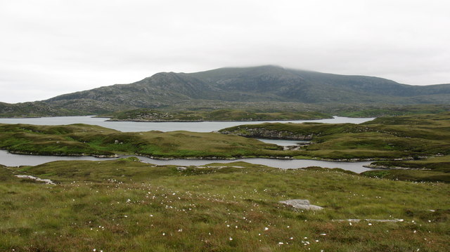
Bàgh Clann Alasdair, also known as Clan Alasdair Bay, is a picturesque bay located in Inverness-shire, Scotland. Nestled on the west coast of the Scottish Highlands, this bay offers stunning natural beauty and a rich historical significance.

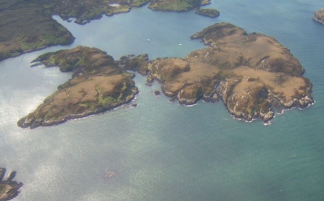
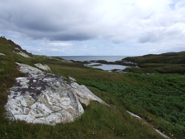
Surrounded by rolling hills and rugged cliffs, Bàgh Clann Alasdair boasts breathtaking views of the Atlantic Ocean. The bay is characterized by its expansive sandy beach, lined with dunes and wildflowers. The crystal-clear waters of the bay are perfect for swimming, sailing, and other water-based activities.

The bay is named after the Clan Alasdair, a prominent Scottish clan with a long and storied history. It is believed that the clan had a stronghold in this area during medieval times. The ruins of their ancestral home, Castle Tioram, can still be seen on the nearby island of Eilean Tioram.

Bàgh Clann Alasdair is a haven for wildlife enthusiasts, as it is home to a diverse range of species. Seals, otters, and various seabirds can often be spotted along the coastline. The nearby hills provide a habitat for red deer and golden eagles, making it a popular destination for nature lovers and birdwatchers.

Visitors to Bàgh Clann Alasdair can explore the bay on foot, taking in the stunning scenery and enjoying the tranquility of the surroundings. The bay also offers excellent opportunities for photography, with its dramatic landscapes and ever-changing light conditions.

Overall, Bàgh Clann Alasdair is a hidden gem on the Scottish coast, offering visitors a chance to immerse themselves in nature and experience the rich history of the Clan Alasdair.

If you have any feedback on the listing, please let us know in the comments section below.

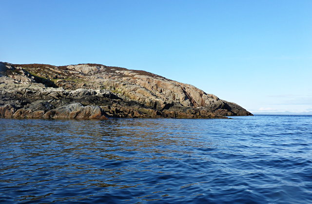
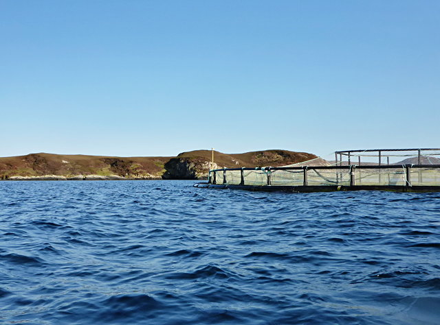
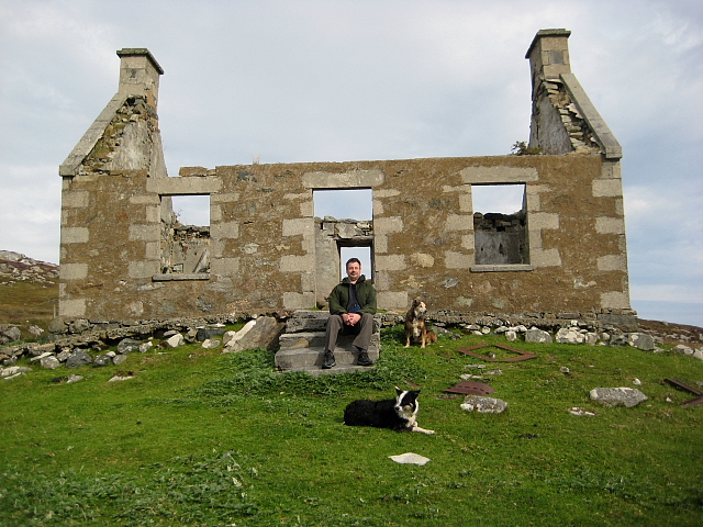
Bàgh Clann Alasdair Images

Images are sourced within 2km of 57.339026/-7.2272341 or Grid Reference NF8539. Thanks to Geograph Open Source API. All images are credited.
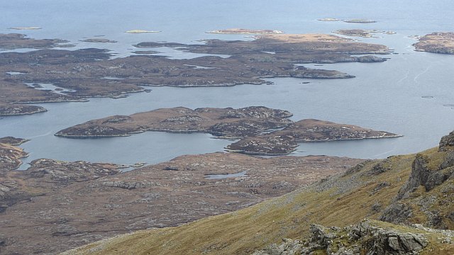
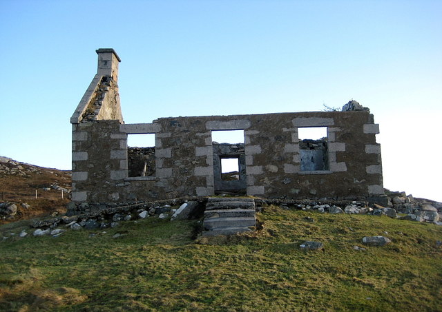
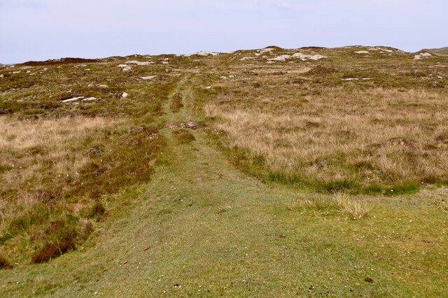
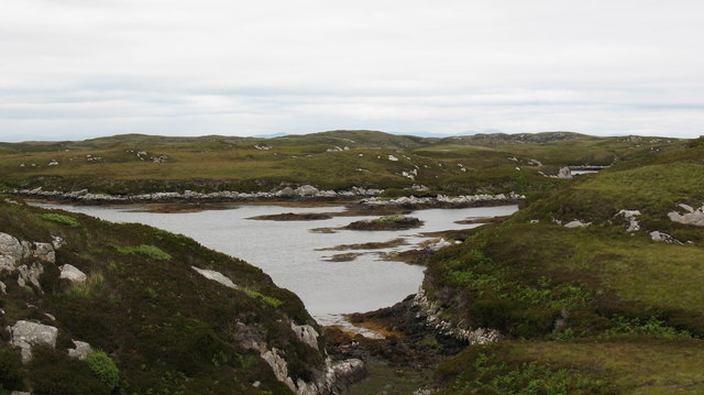
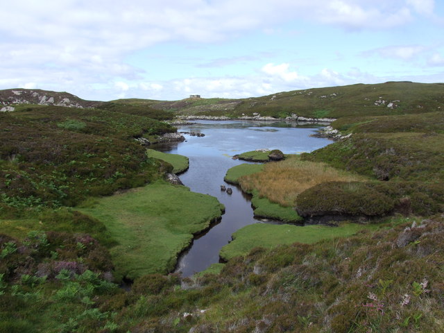
Junction on the path to Aird Horragaigh, South Uist From the end of the tarred road, an excellent grass track heads south. Although it deteriorates a little, it still makes a great afternoon walk.
Junction on the path to Aird Horragaigh, South Uist
From the end of the tarred road, an excellent grass track heads south. Although it deteriorates a little, it still makes a great afternoon walk.
Schoolmaster's house, East Gerinish Standing on the hillside near a ruined croft, the schoolmaster's house would have had a commanding view over the school below.  <a href="https://www.geograph.org.uk/photo/7514077">NF8339 : View of East Gerinish school from the schoolmaster's house</a>
Schoolmaster's house, East Gerinish
Standing on the hillside near a ruined croft, the schoolmaster's house would have had a commanding view over the school below. NF8339 : View of East Gerinish school from the schoolmaster's house
Eilean Mhic'ille Phadruig I think the burrows are puffin nests.
Eilean Mhic'ille Phadruig
I think the burrows are puffin nests.
Southernmost of the Glas-eileanan
Liursaigh Glas
Liursaigh Glas
Southern tip of Liursaigh Dubh
Fish farming near Eilean Ornais
Ruined Croft House Overlooking the site of the school house. There are several older ruins just to the north.
Ruined Croft House
Overlooking the site of the school house. There are several older ruins just to the north.
Siolaigh Mòr Island off South Uist, seen from Hecla.
Siolaigh Mòr
Island off South Uist, seen from Hecla.
Continuing Collapse The storms of December 2013 have robbed this ruin of its southern gable end.
See <a href="https://www.geograph.org.uk/photo/2593729">NF8339 : Ruined Croft House</a>
Continuing Collapse
The storms of December 2013 have robbed this ruin of its southern gable end. See NF8339 : Ruined Croft House
Path to Loch Sgiopoirt This path leads towards some now abandoned crofting communities on the shores of Loch Sgiopoirt [Loch Skipport]. There was once a school, to which one family sent 13 children.  Now this is a very quiet corner of South Uist.
Path to Loch Sgiopoirt
This path leads towards some now abandoned crofting communities on the shores of Loch Sgiopoirt [Loch Skipport]. There was once a school, to which one family sent 13 children. Now this is a very quiet corner of South Uist.
Lon Dubh near Loch Sheileabhaig One of the maze of tidal inlets on the small peninsula to the north of Loch Skipport.
Lon Dubh near Loch Sheileabhaig
One of the maze of tidal inlets on the small peninsula to the north of Loch Skipport.
Islands in the bay. Looking across Bagh a Tuath towards islets, skerries and a fish farm.
Islands in the bay.
Looking across Bagh a Tuath towards islets, skerries and a fish farm.
Ruin above the bay. Crofting ruin above Bagh Clann Alasdair on the east coast of South Uist.
Ruin above the bay.
Crofting ruin above Bagh Clann Alasdair on the east coast of South Uist.
Fresh water & Salt water looking south from a little used path across a freshwater lochan towards Loch Sgiopoirt.
Fresh water & Salt water
looking south from a little used path across a freshwater lochan towards Loch Sgiopoirt.
Siolag Mor These islands lie at the eastern end of Loch Sgiopoirt. The almost-circular bay is Caolas Mor.
Siolag Mor
These islands lie at the eastern end of Loch Sgiopoirt. The almost-circular bay is Caolas Mor.
Bagh Clann Alasdair from below the ruined croft
Ob Dubh Loch Shieleabhaig has the most complex series of tidal inlets.  Some are dry at low tide, whilst some are isolated salt-water or brackish lagoons.  A wonderful and complex area.  Ob is the local name for this kind of sheltered (usually tidal) loch.
Ob Dubh
Loch Shieleabhaig has the most complex series of tidal inlets. Some are dry at low tide, whilst some are isolated salt-water or brackish lagoons. A wonderful and complex area. Ob is the local name for this kind of sheltered (usually tidal) loch.
Show me another place!

Bàgh Clann Alasdair is located at Grid Ref: NF8539 (Lat: 57.339026, Lng: -7.2272341)

Unitary Authority: Na h-Eileanan an Iar

Police Authority: Highlands and Islands

What 3 Words

///trailers.bluntly.cluttered. Near Balivanich, Na h-Eileanan Siar

Related Wikis

Ushenish Lighthouse

The Ushenish Lighthouse is an active lighthouse located in South Uist, Outer Hebrides, Scotland. == History == Ushenish Lighthouse was designed by engineers...

Eilean na Cille

Eilean na Cille, south east of Benbecula is an island of the Outer Hebrides connected to Grimsay (South) by a causeway which carries the B891. The road...

Hecla (South Uist)

Hecla or Thacla is a mountain on the island of South Uist in the Outer Hebrides of Scotland. With a height of 606 metres (1,988 ft), it is the second-highest...

Loch Druidibeg

Loch Druidibeag is a freshwater loch situated on the island of South Uist, in the Outer Hebrides of Scotland. The loch is near the northern end of the...

Nearby Amenities

Located within 500m of 57.339026,-7.2272341
Rubha fo Dheas
Natural: cape
Lat/Long: 57.3357254/-7.2312005
The data included in this document is from www.openstreetmap.org. The data is made available under ODbL.

Have you been to Bàgh Clann Alasdair?

Leave your review of Bàgh Clann Alasdair below (or comments, questions and feedback).