Clette Steisay

Coastal Feature, Headland, Point in Inverness-shire

Scotland

Clette Steisay

Sheep on Reagam Even islands as small as this each support a handful of sheep for summer grazing.
Sheep on Reagam Credit: Toby Speight

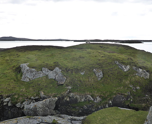
Clette Steisay is a prominent coastal feature located in Inverness-shire, Scotland. It is a headland that extends into the sea, forming a distinct point along the coastline. With its rugged cliffs and stunning views, Clette Steisay is a popular destination for both locals and tourists.

The headland is characterized by its dramatic landscape, consisting of towering cliffs that rise up from the sea. These cliffs are largely composed of sedimentary rock, displaying layers of different geological formations. The exposed rock faces provide a unique opportunity for geologists and nature enthusiasts to study the region's geological history.

Clette Steisay offers breathtaking panoramic views of the surrounding area. From its elevated position, visitors can enjoy sweeping vistas of the coastline, the vast expanse of the sea, and the distant mountains. The headland is also a great spot for wildlife watching, as it attracts various seabird species, including gulls, puffins, and cormorants.

Access to Clette Steisay is relatively easy, with a well-maintained path leading to the headland. This makes it an ideal location for hikers and nature lovers to explore the area and take in the natural beauty. However, caution is advised when venturing close to the cliff edges, as they can be steep and dangerous.

Overall, Clette Steisay is a striking coastal feature that offers visitors a chance to immerse themselves in Scotland's rugged beauty. Its towering cliffs, stunning views, and abundant wildlife make it a must-visit destination for anyone seeking an authentic coastal experience in Inverness-shire.

If you have any feedback on the listing, please let us know in the comments section below.

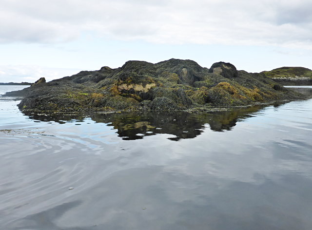
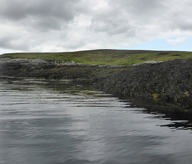
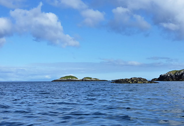
Clette Steisay Images

Images are sourced within 2km of 57.386281/-7.2484894 or Grid Reference NF8445. Thanks to Geograph Open Source API. All images are credited.
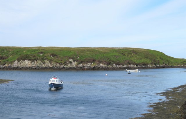
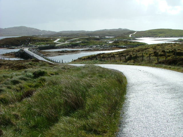
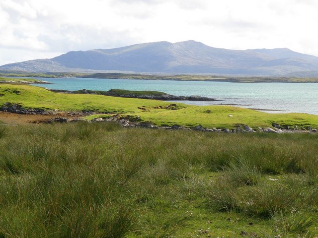
Sheep on Reagam Even islands as small as this each support a handful of sheep for summer grazing.
Sheep on Reagam
Even islands as small as this each support a handful of sheep for summer grazing.
Tidal rock near Cleit Steiseigh
Cràraigh Mhor
Cràraigh Mhor
Eilean a' Geòidh Gasaidh is visible on the extreme right.
Eilean a' Geòidh
Gasaidh is visible on the extreme right.
Steiseigh and nearby rocks This is a wide, shallow sea, with a big difference in what's visible at high and low tide.  Here, we're somewhere between the two, and a few rocks are already showing.
Steiseigh and nearby rocks
This is a wide, shallow sea, with a big difference in what's visible at high and low tide. Here, we're somewhere between the two, and a few rocks are already showing.
Loch Carnan no. 1 port-side channel buoy This is the most seaward of the marker buoys for Loch Carnan (excepting <a href="https://www.geograph.org.uk/photo/4974591">NF8843 : Loch nan Carnan Landfall Buoy</a>).  There are 4 port buoys and 2 starboard, with Port no. 2 and Starboard no. 1 paired.
Loch Carnan no. 1 port-side channel buoy
This is the most seaward of the marker buoys for Loch Carnan (excepting NF8843 : Loch nan Carnan Landfall Buoy). There are 4 port buoys and 2 starboard, with Port no. 2 and Starboard no. 1 paired.
Causeway by Loch Chill Eireabhaigh Compare with this similar view in 2008 [<a title="https://www.geograph.org.uk/photo/855856" href="https://www.geograph.org.uk/photo/855856">Link</a>].
Causeway by Loch Chill Eireabhaigh
Compare with this similar view in 2008 [Link].
Cotton grass and tidal inlets Looking north from one of the tiny islets connected by causeways on the B891 towards Eilean Dubh Fo Thuath and the distant hill of Ruabhal.
Cotton grass and tidal inlets
Looking north from one of the tiny islets connected by causeways on the B891 towards Eilean Dubh Fo Thuath and the distant hill of Ruabhal.
Small boats at rest, Port Pheadair Small boats at anchor in the channel between Eilean na Cille and Fodragaigh. Would I be able to add the latter island to my growing list of island 'bags'? Not with the tide coming in and areas of exposed slippery rocks covered in weed.
Small boats at rest, Port Pheadair
Small boats at anchor in the channel between Eilean na Cille and Fodragaigh. Would I be able to add the latter island to my growing list of island 'bags'? Not with the tide coming in and areas of exposed slippery rocks covered in weed.
Port Pheadair Fodragaigh and sheltered moorings at the end of the B891, south-east Benbecula.
Port Pheadair
Fodragaigh and sheltered moorings at the end of the B891, south-east Benbecula.
Road and Causeway to Fodragaigh There are a number of causeways on this road to Fodragaigh and Port Pheadair.
Road and Causeway to Fodragaigh
There are a number of causeways on this road to Fodragaigh and Port Pheadair.
Causeway on Loch Chill Eireabhaigh One of a number of causeways on the road to Port Pheadair.
Causeway on Loch Chill Eireabhaigh
One of a number of causeways on the road to Port Pheadair.
Loch Chill Eireabhaigh From the causeway
Loch Chill Eireabhaigh
From the causeway
Loch Chill Eireabhaigh Looking northeast from the southeastern end of the causeway.
Loch Chill Eireabhaigh
Looking northeast from the southeastern end of the causeway.
Port Pheadair At Fodragaigh.
Port Pheadair
At Fodragaigh.
Pier Port Pheadair.
Pier
Port Pheadair.
Islands off Port Pheadair From Eilean na Cille.
Islands off Port Pheadair
From Eilean na Cille.
Towards Thacla Looking across Bàgh Nam Faoileann to Thacla
Towards Thacla
Looking across Bàgh Nam Faoileann to Thacla
Show me another place!

Clette Steisay is located at Grid Ref: NF8445 (Lat: 57.386281, Lng: -7.2484894)

Unitary Authority: Na h-Eileanan an Iar

Police Authority: Highlands and Islands

What 3 Words

///fussed.deflection.atlas. Near Balivanich, Na h-Eileanan Siar

Related Wikis

Eilean na Cille

Eilean na Cille, south east of Benbecula is an island of the Outer Hebrides connected to Grimsay (South) by a causeway which carries the B891. The road...

Grimsay (South East Benbecula)

Grimsay, south east of Benbecula is a tidal island of the Outer Hebrides. It is connected to Benbecula by a causeway which carries the B891. In the 2001...

Wiay, Outer Hebrides

Wiay (Scottish Gaelic: Bhuia or Fuidheigh) is an uninhabited island in the Outer Hebrides. It lies south-east of Benbecula and measures approximately...

Eileanan Chearabhaigh

Eileanan Chearabhaigh is a collection of small uninhabited tidal islands off the south east coast of Benbecula in the Outer Hebrides of Scotland. The English...

Nearby Amenities

Located within 500m of 57.386281,-7.2484894
Created By: dmgroom_coastlines
Lat/Long: 57.38996/-7.2458
Created By: dmgroom_coastlines
Lat/Long: 57.39021/-7.24579
Created By: dmgroom_coastlines
Lat/Long: 57.3902/-7.24532
Created By: dmgroom_coastlines
Lat/Long: 57.38996/-7.24533
The data included in this document is from www.openstreetmap.org. The data is made available under ODbL.

Have you been to Clette Steisay?

Leave your review of Clette Steisay below (or comments, questions and feedback).