Scuday Dubh

Island in Inverness-shire

Scotland

Scuday Dubh

Tidal rock near Cleit Steiseigh
Tidal rock near Cleit Steiseigh Credit: Toby Speight

Scuday Dubh is a small island located off the coast of Inverness-shire in the Scottish Highlands. It is situated in the Inner Hebrides, specifically in the Sound of Mull, and is part of the Inner Hebrides archipelago.

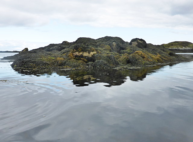
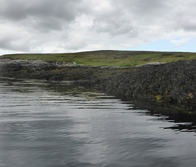
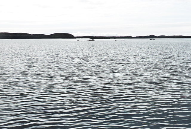
The island covers an area of approximately 1.5 square kilometers and is predominantly composed of rugged, rocky terrain. The coastline is characterized by steep cliffs, interspersed with small sandy beaches and rocky coves. Scattered across the island, you can find several freshwater lochs, which provide a habitat for various bird species and other wildlife.

Scuday Dubh boasts a diverse ecosystem, attracting nature enthusiasts and birdwatchers alike. The island is home to a wide range of bird species, including puffins, guillemots, razorbills, and various species of gulls. Seals and otters are also commonly spotted in the surrounding waters.

The island is uninhabited and lacks any permanent structures or amenities. It is primarily accessed by private boats or chartered ferries, making it a secluded and peaceful destination for those seeking solitude and natural beauty. Visitors can enjoy scenic walks along the coastline, taking in the breathtaking views of the surrounding islands and the distant mainland.

Scuday Dubh offers a unique opportunity to immerse oneself in nature, away from the hustle and bustle of modern life. With its untouched landscapes and abundant wildlife, the island provides a serene retreat for those seeking an escape into the wild beauty of the Scottish Highlands.

If you have any feedback on the listing, please let us know in the comments section below.

Scuday Dubh Images

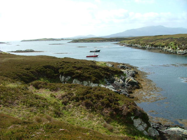
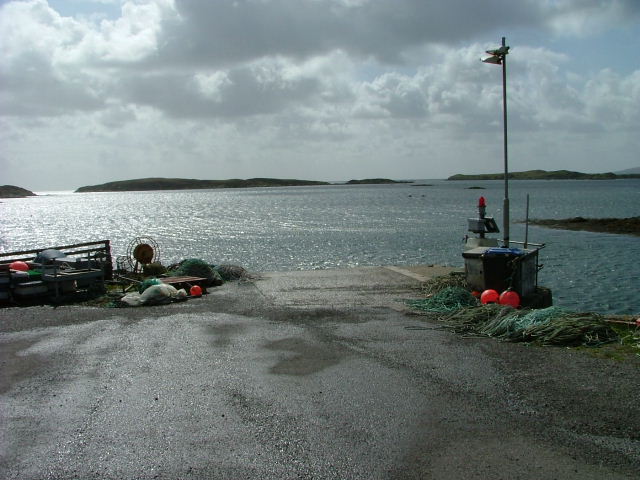
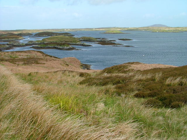
Images are sourced within 2km of 57.388682/-7.2494 or Grid Reference NF8445. Thanks to Geograph Open Source API. All images are credited.
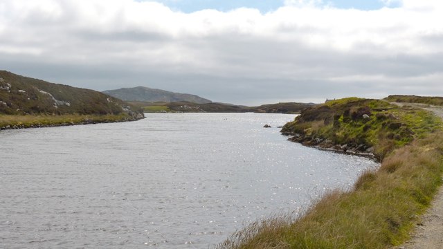
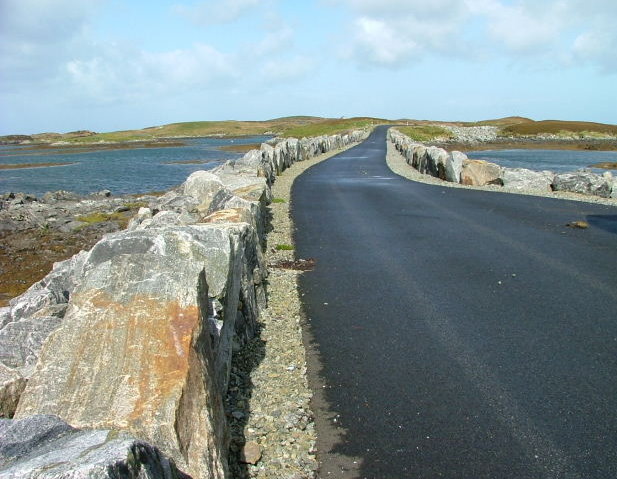
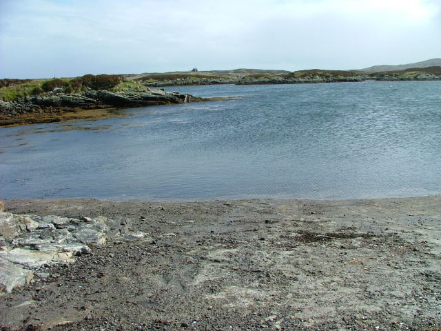
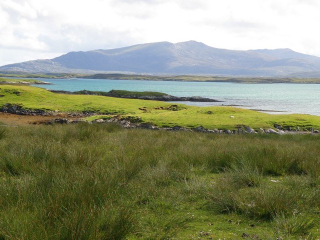
Tidal rock near Cleit Steiseigh
Cràraigh Mhor
Cràraigh Mhor
Steiseigh and nearby rocks This is a wide, shallow sea, with a big difference in what's visible at high and low tide.  Here, we're somewhere between the two, and a few rocks are already showing.
Steiseigh and nearby rocks
This is a wide, shallow sea, with a big difference in what's visible at high and low tide. Here, we're somewhere between the two, and a few rocks are already showing.
Loch an Droma bho Deas This is the continuation of the track shown in <a href="https://www.geograph.org.uk/photo/5018122">NF8447 : New track on Benbecula</a>  The chimneys of the house under restoration can just be seen on the skyline on the right at the end on the loch.
Loch an Droma bho Deas
This is the continuation of the track shown in NF8447 : New track on Benbecula The chimneys of the house under restoration can just be seen on the skyline on the right at the end on the loch.
Extreme weather precautions on Benbecula This belt and braces job speaks volumes about the anticipated wind conditions on Benbecula ....and, yes, the other side is just the same.  The loch is loch an Droma bho Deas.
Extreme weather precautions on Benbecula
This belt and braces job speaks volumes about the anticipated wind conditions on Benbecula ....and, yes, the other side is just the same. The loch is loch an Droma bho Deas.
Loch an Droma bho Deas, Benbecula The colour of the water is misleading. Unlike nearby lochs, this one has a fringe of unpleasant filamentous algae and the water itself is quite turbid.  This reason for this could be the presence of a large number of geese and swans with their resultant deposits.  This would be made worse by the lack of meaningful rain for about two months. A pity as it's in a lovely setting.
Loch an Droma bho Deas, Benbecula
The colour of the water is misleading. Unlike nearby lochs, this one has a fringe of unpleasant filamentous algae and the water itself is quite turbid. This reason for this could be the presence of a large number of geese and swans with their resultant deposits. This would be made worse by the lack of meaningful rain for about two months. A pity as it's in a lovely setting.
Causeway by Loch Chill Eireabhaigh Compare with this similar view in 2008 [<a title="https://www.geograph.org.uk/photo/855856" href="https://www.geograph.org.uk/photo/855856">Link</a>].
Causeway by Loch Chill Eireabhaigh
Compare with this similar view in 2008 [Link].
Cotton grass and tidal inlets Looking north from one of the tiny islets connected by causeways on the B891 towards Eilean Dubh Fo Thuath and the distant hill of Ruabhal.
Cotton grass and tidal inlets
Looking north from one of the tiny islets connected by causeways on the B891 towards Eilean Dubh Fo Thuath and the distant hill of Ruabhal.
Small boats at rest, Port Pheadair Small boats at anchor in the channel between Eilean na Cille and Fodragaigh. Would I be able to add the latter island to my growing list of island 'bags'? Not with the tide coming in and areas of exposed slippery rocks covered in weed.
Small boats at rest, Port Pheadair
Small boats at anchor in the channel between Eilean na Cille and Fodragaigh. Would I be able to add the latter island to my growing list of island 'bags'? Not with the tide coming in and areas of exposed slippery rocks covered in weed.
Port Pheadair Fodragaigh and sheltered moorings at the end of the B891, south-east Benbecula.
Port Pheadair
Fodragaigh and sheltered moorings at the end of the B891, south-east Benbecula.
Road and Causeway to Fodragaigh There are a number of causeways on this road to Fodragaigh and Port Pheadair.
Road and Causeway to Fodragaigh
There are a number of causeways on this road to Fodragaigh and Port Pheadair.
Causeway on Loch Chill Eireabhaigh One of a number of causeways on the road to Port Pheadair.
Causeway on Loch Chill Eireabhaigh
One of a number of causeways on the road to Port Pheadair.
Loch Chill Eireabhaigh From the causeway
Loch Chill Eireabhaigh
From the causeway
Loch Chill Eireabhaigh Looking northeast from the southeastern end of the causeway.
Loch Chill Eireabhaigh
Looking northeast from the southeastern end of the causeway.
Port Pheadair At Fodragaigh.
Port Pheadair
At Fodragaigh.
Pier Port Pheadair.
Pier
Port Pheadair.
Islands off Port Pheadair From Eilean na Cille.
Islands off Port Pheadair
From Eilean na Cille.
Towards Thacla Looking across Bàgh Nam Faoileann to Thacla
Towards Thacla
Looking across Bàgh Nam Faoileann to Thacla
Show me another place!

Scuday Dubh is located at Grid Ref: NF8445 (Lat: 57.388682, Lng: -7.2494)

Unitary Authority: Na h-Eileanan an Iar

Police Authority: Highlands and Islands

What 3 Words

///disbelief.slot.fishnet. Near Balivanich, Na h-Eileanan Siar

Related Wikis

Eilean na Cille

Eilean na Cille, south east of Benbecula is an island of the Outer Hebrides connected to Grimsay (South) by a causeway which carries the B891. The road...

Grimsay (South East Benbecula)

Grimsay, south east of Benbecula is a tidal island of the Outer Hebrides. It is connected to Benbecula by a causeway which carries the B891. In the 2001...

Wiay, Outer Hebrides

Wiay (Scottish Gaelic: Bhuia or Fuidheigh) is an uninhabited island in the Outer Hebrides. It lies south-east of Benbecula and measures approximately...

Eileanan Chearabhaigh

Eileanan Chearabhaigh is a collection of small uninhabited tidal islands off the south east coast of Benbecula in the Outer Hebrides of Scotland. The English...

Nearby Amenities

Located within 500m of 57.388682,-7.2494
Created By: dmgroom_coastlines
Lat/Long: 57.38996/-7.2458
Created By: dmgroom_coastlines
Lat/Long: 57.39021/-7.24579
Created By: dmgroom_coastlines
Lat/Long: 57.3902/-7.24532
Created By: dmgroom_coastlines
Lat/Long: 57.38996/-7.24533
Bus Stop
Petersport Benbecula
Naptan AtcoCode: 6010731778
Naptan Bearing: N
Naptan CommonName: Petersport Benbecula
Naptan Indicator: Village
Naptan Landmark: Village
Naptan NaptanCode: 94723464
Naptan Street: Village
Naptan Verified: no
Source: naptan_import
Lat/Long: 57.3926919/-7.2478617
Turning Circle
Lat/Long: 57.3920992/-7.2470296
Port Pheadair
Name En: Peters Port
Name Gd: Port Pheadair
Place: locality
Lat/Long: 57.3929529/-7.2479725
The data included in this document is from www.openstreetmap.org. The data is made available under ODbL.

Have you been to Scuday Dubh?

Leave your review of Scuday Dubh below (or comments, questions and feedback).