Sròn an Dùin
Coastal Feature, Headland, Point in Inverness-shire
Scotland
Sròn an Dùin
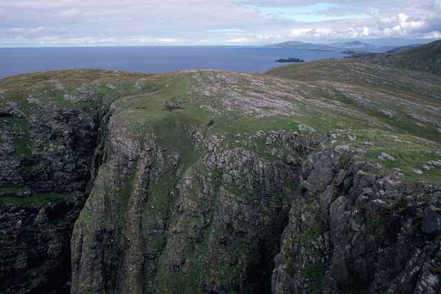
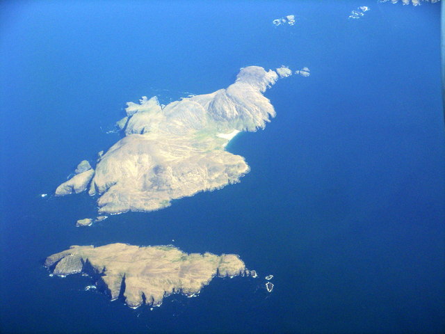
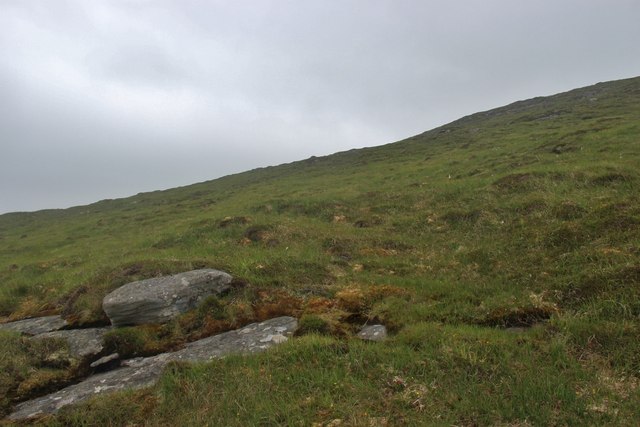
Sròn an Dùin is a prominent coastal feature located in Inverness-shire, Scotland. It is a headland that extends into the North Atlantic Ocean, forming a point that separates two bays. The headland is characterized by its rugged and rocky terrain, offering stunning panoramic views of the surrounding landscape.
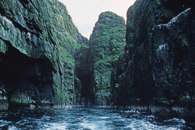
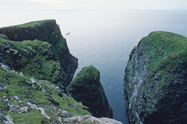
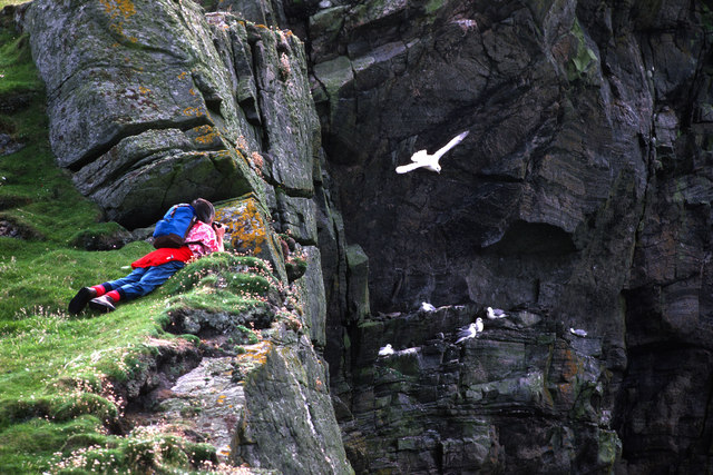
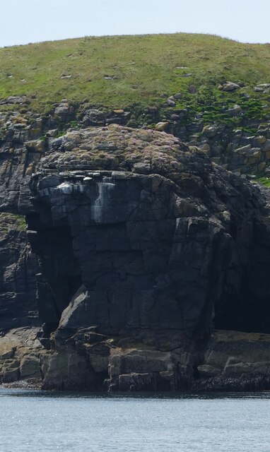
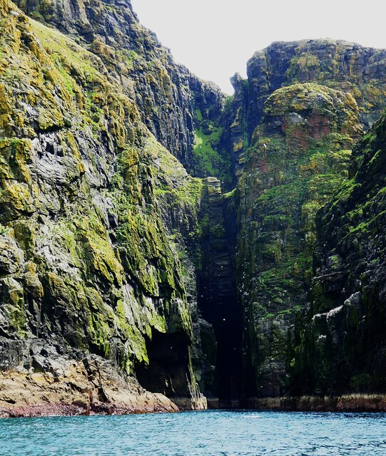
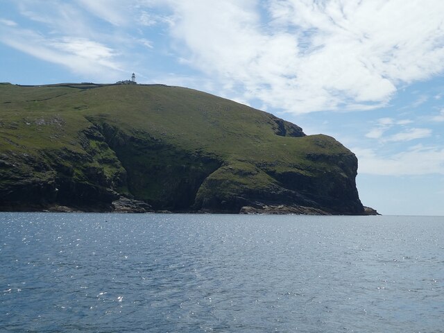
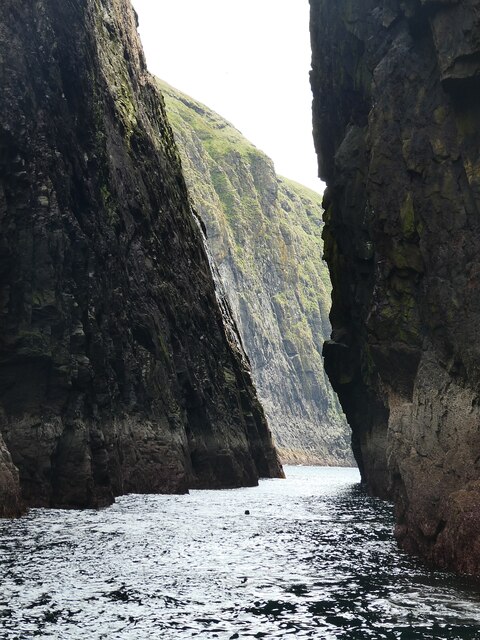
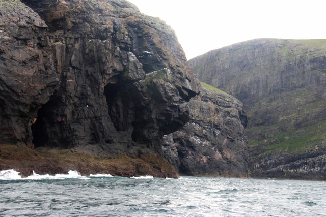
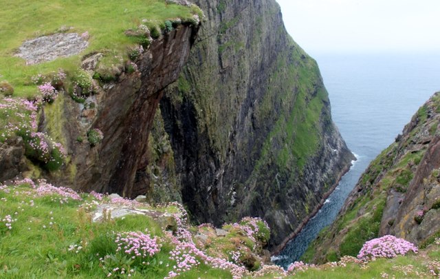
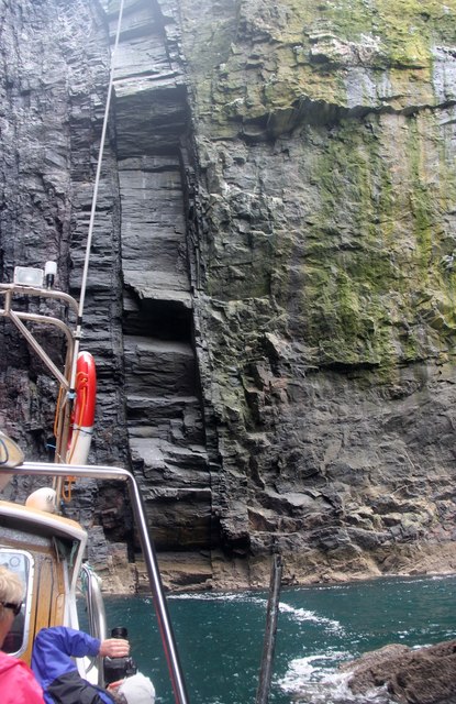
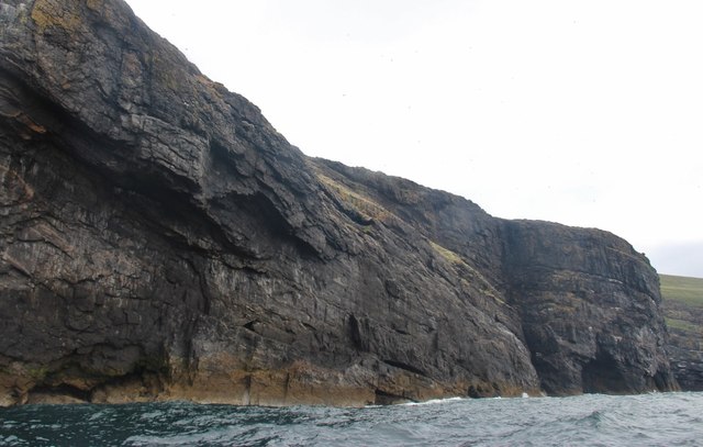
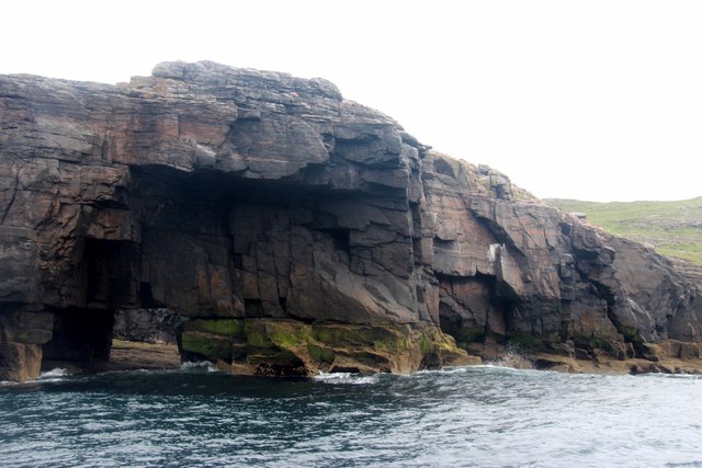
Situated on the western coast of Inverness-shire, Sròn an Dùin is known for its dramatic cliffs that rise steeply from the sea. These cliffs, which reach heights of up to 200 meters, are composed of ancient sandstone and offer a vivid display of geological formations. The headland is also home to a variety of bird species, including gulls, fulmars, and puffins, making it a popular spot for birdwatchers.
The coastal path that winds along Sròn an Dùin provides visitors with an opportunity to explore the area's natural beauty. From the path, one can take in breathtaking vistas of the ocean, the nearby bays, and the surrounding countryside. The headland is also accessible by boat, allowing adventurers to get a closer look at the impressive cliffs and experience the thrill of the open water.
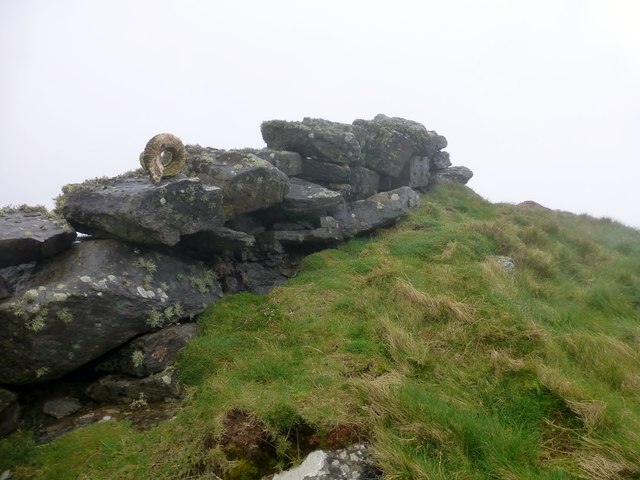
In addition to its natural charm, Sròn an Dùin boasts historical significance. The ruins of an ancient fort can be found atop the headland, serving as a reminder of the area's rich cultural heritage. Visitors can explore these remnants and imagine the lives of the people who once called this place home.
Overall, Sròn an Dùin offers a unique blend of natural beauty, wildlife, and historical interest. Its rugged cliffs, stunning views, and cultural significance make it a must-visit destination for nature enthusiasts and history buffs alike.
If you have any feedback on the listing, please let us know in the comments section below.
Sròn an Dùin Images
Images are sourced within 2km of 56.800181/-7.6692597 or Grid Reference NL5481. Thanks to Geograph Open Source API. All images are credited.

Sròn an Dùin is located at Grid Ref: NL5481 (Lat: 56.800181, Lng: -7.6692597)
Unitary Authority: Na h-Eileanan an Iar
Police Authority: Highlands and Islands
What 3 Words
///ventured.gurgled.plausibly. Near CastleBay, Na h-Eileanan Siar
Nearby Locations
Related Wikis

Arnamul
Arnamul (Scottish Gaelic: Arnamuil) is a stack off the west coast of Mingulay in the Western Isles, Scotland. Although precipitous, sheep were grazed on...

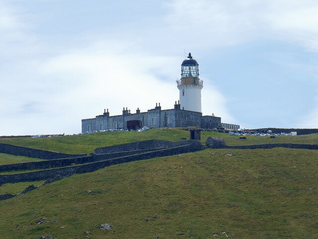
Barra Head Lighthouse
Barra Head Lighthouse on Barra Head identifies the southern entrance to The Minch, roughly halfway between the Eilean Glas and Rinns of Islay lighthouses...

Barra Isles
The Barra Isles, also known as the Bishop's Isles, are a small archipelago in the Outer Hebrides of Scotland. They lie south of the island of Barra, for...

Mingulay
Mingulay (Scottish Gaelic: Miughalaigh) is the second largest of the Bishop's Isles in the Outer Hebrides of Scotland. Located 12 nautical miles (22 kilometres...
Nearby Amenities
Located within 500m of 56.800181,-7.6692597Have you been to Sròn an Dùin?
Leave your review of Sròn an Dùin below (or comments, questions and feedback).