Geo a' Bhroige
Coastal Feature, Headland, Point in Inverness-shire
Scotland
Geo a' Bhroige

Geo a' Bhroige is a prominent coastal feature located in Inverness-shire, Scotland. It is classified as a headland and point, and is situated on the western coast of the Scottish Highlands, overlooking the North Atlantic Ocean. The name "Geo a' Bhroige" translates to "Bay of the Slope" in English, accurately describing its geographical characteristics.
This headland is characterized by its rugged and dramatic cliffs that stretch out into the sea, forming a distinct and picturesque landscape. The cliffs are composed of sandstone and are known for their impressive height, rising up to 100 meters in some areas. These towering cliffs provide a nesting site for various seabird species, including puffins, guillemots, and razorbills.
Geo a' Bhroige offers breathtaking panoramic views of the surrounding coastline and the vast expanse of the Atlantic Ocean. On a clear day, visitors can observe the distant mountains of the Scottish Highlands, adding to the scenic beauty of this coastal feature.
The headland is accessible to visitors through well-maintained hiking trails, allowing them to explore the area and appreciate its natural beauty up close. The coastal path also leads to a small pebble beach nestled below the cliffs, providing an opportunity for visitors to relax and enjoy the sound of the crashing waves.
Geo a' Bhroige is a popular destination for nature lovers, hikers, and photographers seeking to capture the awe-inspiring beauty of Scotland's coastline. Its untouched and wild landscape, combined with its rich biodiversity, makes it a must-visit location for those exploring the Inverness-shire region.
If you have any feedback on the listing, please let us know in the comments section below.
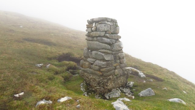
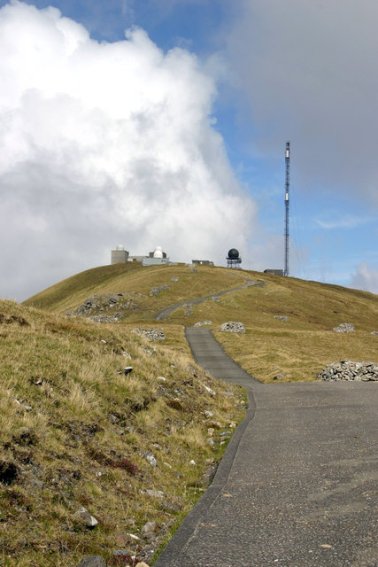
Geo a' Bhroige Images
Images are sourced within 2km of 57.818394/-8.5598573 or Grid Reference NF1099. Thanks to Geograph Open Source API. All images are credited.


Geo a' Bhroige is located at Grid Ref: NF1099 (Lat: 57.818394, Lng: -8.5598573)
Unitary Authority: Na h-Eileanan an Iar
Police Authority: Highlands and Islands
What 3 Words
///public.dries.marketing. Near Balivanich, Na h-Eileanan Siar
Nearby Locations
Related Wikis

Hirta
Hirta (Scottish Gaelic: Hiort) is the largest island in the St Kilda archipelago, on the western edge of Scotland. The names Hiort (in Scottish Gaelic...

St Kilda, Scotland
St Kilda (Scottish Gaelic: Hiort) is an isolated archipelago situated 64 kilometres (40 mi) west-northwest of North Uist in the North Atlantic Ocean. It...

Dùn
Dùn is an island in St Kilda, Scotland. It is nearly 1 mile (1.6 kilometres) long. Its name simply means "fort" in Scottish Gaelic (for more information...

Stac Biorach
Stac Biorach (Scottish Gaelic: "the pointed stack") is a sea stack, 73 metres tall, situated between Hirta and Soay (in the "Sound of Soay") in the St...

Stac Levenish
Stac Levenish or Stac Leibhinis (sometimes simply called Levenish/Leibhinis) is a sea stack in the St Kilda archipelago in Scotland. Lying 2.5 kilometres...

Soay, St Kilda
Soay (Scottish Gaelic: Soaigh) is an uninhabited islet in the St Kilda archipelago, Scotland. The name is from Old Norse Seyðoy, meaning 'island of sheep...

Stac Lee
Stac Lee (Scottish Gaelic: Stac Lì) is a sea stack in the St Kilda group off the west coast of Scotland. An island Marilyn (a point with topographic prominence...
Boreray, St Kilda
Boreray (Scottish Gaelic: Boraraigh; Scots: Boreray) is an uninhabited island in the St Kilda archipelago in the North Atlantic. == Geography == Boreray...
Nearby Amenities
Located within 500m of 57.818394,-8.5598573Have you been to Geo a' Bhroige?
Leave your review of Geo a' Bhroige below (or comments, questions and feedback).