Geo na Ruideig
Coastal Feature, Headland, Point in Inverness-shire
Scotland
Geo na Ruideig

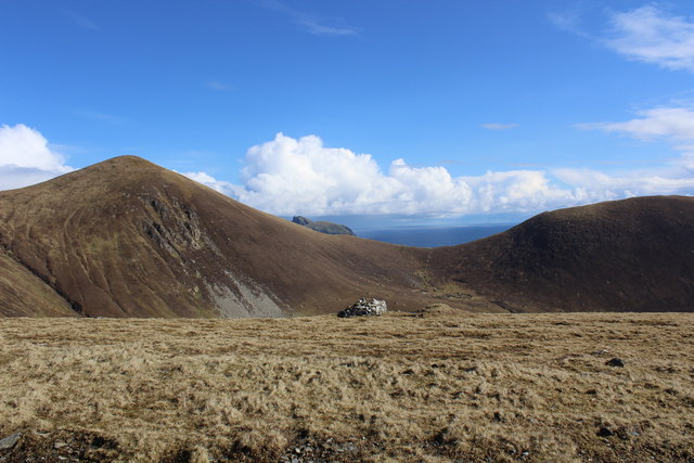
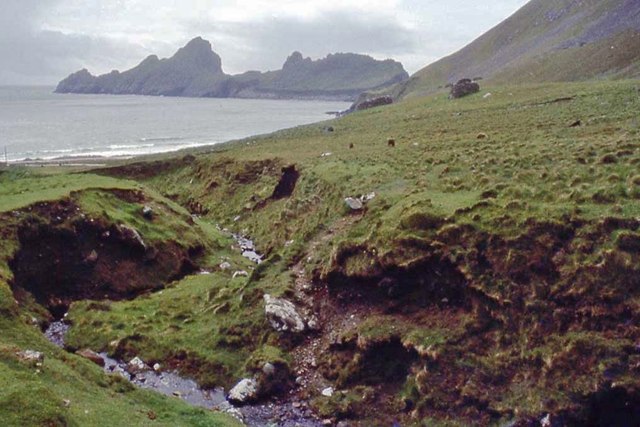
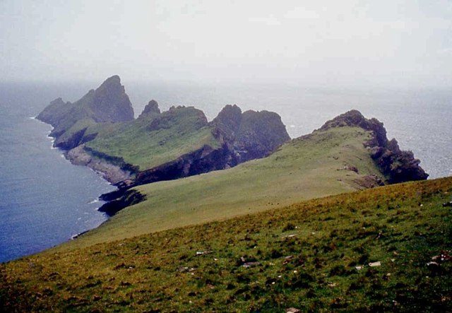
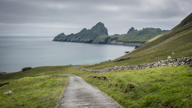
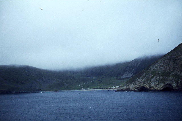
Geo na Ruideig is a stunning coastal feature located in Inverness-shire, Scotland. It is a prominent headland and point that offers breathtaking views of the surrounding area. Situated on the western coast of Scotland, Geo na Ruideig is known for its rugged cliffs, rocky shores, and dramatic landscape.
The headland is formed by a combination of geological forces over millions of years. The cliffs are made up of layers of sedimentary rock, which have been eroded by the relentless action of the sea. This erosion has created the distinctive shape of the headland, with its steep cliffs and jagged edges.
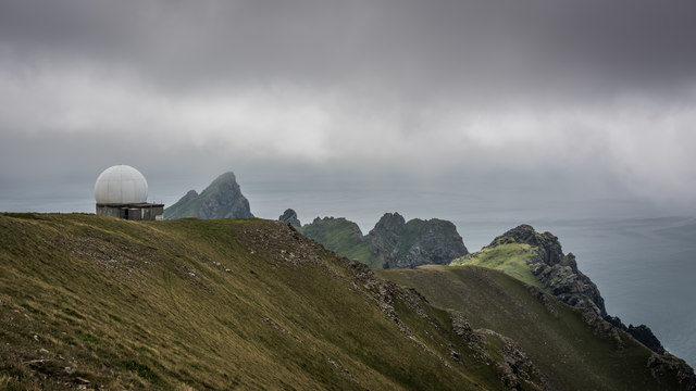
The point juts out into the Atlantic Ocean, providing a vantage point for visitors to enjoy panoramic views of the sea and the surrounding countryside. On a clear day, it is possible to see the distant peaks of the Highlands and the Isle of Skye.
Geo na Ruideig is also home to a diverse range of wildlife. The surrounding waters are teeming with marine life, including seals, dolphins, and various species of seabirds. The cliffs provide nesting sites for birds such as puffins and guillemots.
Access to Geo na Ruideig is relatively easy, with a well-maintained trail leading to the headland. Visitors can explore the area on foot, taking in the natural beauty and observing the wildlife. There are also opportunities for rock climbing and birdwatching.
Overall, Geo na Ruideig is a captivating coastal feature that showcases the rugged beauty of the Scottish coastline. Its dramatic cliffs, stunning views, and abundant wildlife make it a must-visit destination for nature enthusiasts and outdoor adventurers alike.
If you have any feedback on the listing, please let us know in the comments section below.
Geo na Ruideig Images
Images are sourced within 2km of 57.79776/-8.5615288 or Grid Reference NF1097. Thanks to Geograph Open Source API. All images are credited.


Geo na Ruideig is located at Grid Ref: NF1097 (Lat: 57.79776, Lng: -8.5615288)
Unitary Authority: Na h-Eileanan an Iar
Police Authority: Highlands and Islands
What 3 Words
///laminated.start.verges. Near Balivanich, Na h-Eileanan Siar
Nearby Locations
Related Wikis

Dùn
Dùn is an island in St Kilda, Scotland. It is nearly 1 mile (1.6 kilometres) long. Its name simply means "fort" in Scottish Gaelic (for more information...

Hirta
Hirta (Scottish Gaelic: Hiort) is the largest island in the St Kilda archipelago, on the western edge of Scotland. The names Hiort (in Scottish Gaelic...

St Kilda, Scotland
St Kilda (Scottish Gaelic: Hiort) is an isolated archipelago situated 64 kilometres (40 mi) west-northwest of North Uist in the North Atlantic Ocean. It...

Stac Levenish
Stac Levenish or Stac Leibhinis (sometimes simply called Levenish/Leibhinis) is a sea stack in the St Kilda archipelago in Scotland. Lying 2.5 kilometres...
Nearby Amenities
Located within 500m of 57.79776,-8.5615288Have you been to Geo na Ruideig?
Leave your review of Geo na Ruideig below (or comments, questions and feedback).