A' Chlaisir

Sea, Estuary, Creek in Inverness-shire

Scotland

A' Chlaisir

Dùn from Ruabhal A classic view of Dùn.  I had a memorable day on Dùn not helped by falling into the sea when being landed.  It is lucky my camera survived to take these images later.
Dùn from Ruabhal Credit: Julian Paren

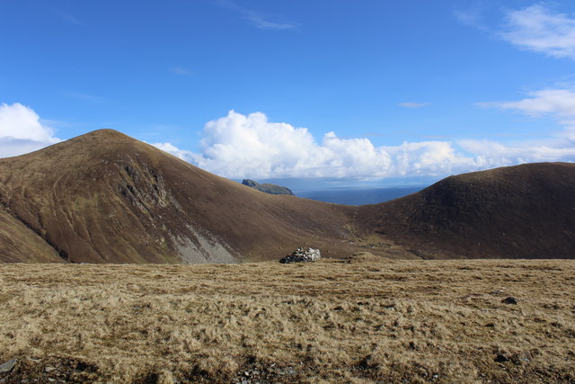
A' Chlaisir is a picturesque coastal area located in Inverness-shire, Scotland. Situated along the shores of the Moray Firth, it is blessed with stunning natural beauty, comprising a combination of sea, estuary, and creek. The area is a haven for nature enthusiasts and a popular destination for tourists seeking tranquility and breathtaking views.

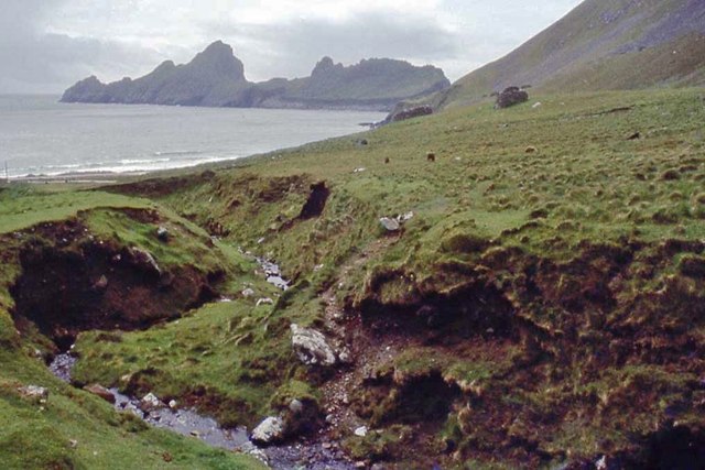
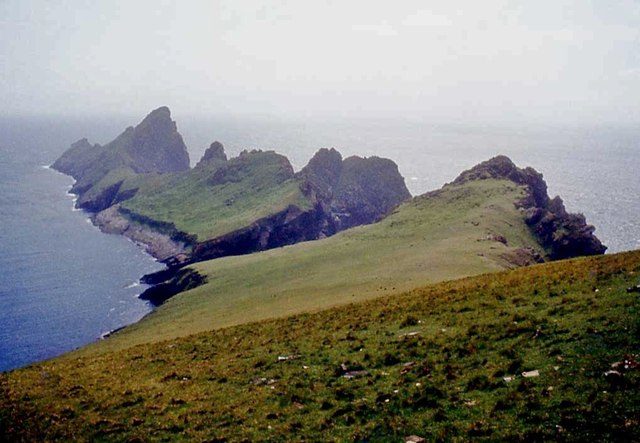
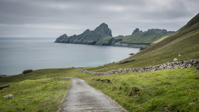
The coastline at A' Chlaisir offers a diverse range of landscapes, from sandy beaches to rugged cliffs adorned with lush green vegetation. The sea here is a vibrant blue, and its calm waters make it an ideal spot for swimming and water sports during the warmer months. The estuary, formed by the river meeting the sea, is a thriving ecosystem, home to a variety of bird species and marine life.

Visitors to A' Chlaisir can enjoy long walks along the sandy shores, taking in the fresh sea air and the sound of crashing waves. The area is also known for its abundance of wildlife, with seals often seen basking on rocks, and dolphins occasionally spotted swimming in the distance.

The creek at A' Chlaisir adds another layer of charm to the area. It winds its way through the landscape, creating a peaceful and idyllic setting. The creek is a haven for birdwatchers, attracting a wide range of migratory and resident species.

Overall, A' Chlaisir offers a unique coastal experience, combining the beauty of the sea, estuary, and creek. Its natural splendor and peaceful ambiance make it a must-visit destination for those seeking a true Scottish coastal escape.

If you have any feedback on the listing, please let us know in the comments section below.

A' Chlaisir Images

Images are sourced within 2km of 57.796294/-8.5682457 or Grid Reference NF1097. Thanks to Geograph Open Source API. All images are credited.

Dùn from Ruabhal A classic view of Dùn.  I had a memorable day on Dùn not helped by falling into the sea when being landed.  It is lucky my camera survived to take these images later.
Dùn from Ruabhal
A classic view of Dùn. I had a memorable day on Dùn not helped by falling into the sea when being landed. It is lucky my camera survived to take these images later.
Village Bay from the side of Ruabhal, Hirta The military encampment is noticeable and this image was taken when the North Uist Rocket Range was extensively used by NATO.
Village Bay from the side of Ruabhal, Hirta
The military encampment is noticeable and this image was taken when the North Uist Rocket Range was extensively used by NATO.
Below The Mistress Stone, St Kilda This stone shared with The Lovers Stone a role in proving fidelity in courtship. Village Bay, Hirta is in the background.
Below The Mistress Stone, St Kilda
This stone shared with The Lovers Stone a role in proving fidelity in courtship. Village Bay, Hirta is in the background.
Radar Tracking Station on Mullach Sgar This radar station, located on Mullach Sgar, is one of two stations on the island which serve the South Uist rocket range. They contain equipment which allows them to track test firings on the range by radar, and to record images of missiles in flight. The second radar station on Hirta is located further north, on the summit of Mullach Mòr.
Radar Tracking Station on Mullach Sgar
This radar station, located on Mullach Sgar, is one of two stations on the island which serve the South Uist rocket range. They contain equipment which allows them to track test firings on the range by radar, and to record images of missiles in flight. The second radar station on Hirta is located further north, on the summit of Mullach Mòr.
Dùn and Hirta A view along the coast of Dùn towards Ruabhal, on the island of Hirta, and the narrow strait (Caolas an Dùin) which separates the two islands. View taken from Bhàga a’ Bhaile (Village Bay).
Dùn and Hirta
A view along the coast of Dùn towards Ruabhal, on the island of Hirta, and the narrow strait (Caolas an Dùin) which separates the two islands. View taken from Bhàga a’ Bhaile (Village Bay).
Abhainn Mhòr, Hirta Flowing past the western end of the old village.
Abhainn Mhòr, Hirta
Flowing past the western end of the old village.
Abhainn Mhòr With some of the maintained cleits along the banks.
Abhainn Mhòr
With some of the maintained cleits along the banks.
Soay Sheep, Hirta A very old lineage of sheep, living wild on Hirta and Soay. They are tagged to monitor population fluctuations, which can be quite rapid.
Soay Sheep, Hirta
A very old lineage of sheep, living wild on Hirta and Soay. They are tagged to monitor population fluctuations, which can be quite rapid.
Abhainn Mhòr, Hirta
Abhainn Mhòr, Hirta
Former village, Hirta With Soay Sheep now roaming free on what were the farmed fields.
Former village, Hirta
With Soay Sheep now roaming free on what were the farmed fields.
Nardus heath on the summit of Mullach Sgar (222m) The view of Boreray (384m) above The Gap between Conachair (376m, left) and Oiseval (293m, right)
Nardus heath on the summit of Mullach Sgar (222m)
The view of Boreray (384m) above The Gap between Conachair (376m, left) and Oiseval (293m, right)
Western end of The Street, Village Bay, Hirta The head dyke, built to keep sheep out of the village, can be seen in the distance.
Western end of The Street, Village Bay, Hirta
The head dyke, built to keep sheep out of the village, can be seen in the distance.
Abhainn Mhòr, Hirta The rocky islet of Dùn forms the south side of Village Bay.
Abhainn Mhòr, Hirta
The rocky islet of Dùn forms the south side of Village Bay.
Dùn from Ruabhal
Dùn from Ruabhal
Concrete road on Hirta
Radar dome overlooking Dun
House No 15, St Kilda after two week's repointing Near the end of the repointing in 1965.  The building being repointed is here <a href="https://www.geograph.org.uk/photo/2253893">NF0999 : National Trust for Scotland Work Party restoring House 15, built in 1860</a> and the still unroofed building in 2014 <a href="https://www.geograph.org.uk/photo/4020206">NF0999 : House 15, Main Street, St Kilda</a>
House No 15, St Kilda after two week's repointing
Near the end of the repointing in 1965. The building being repointed is here NF0999 : National Trust for Scotland Work Party restoring House 15, built in 1860 and the still unroofed building in 2014 NF0999 : House 15, Main Street, St Kilda
On board SS Uganda with view into Village Bay
Show me another place!

A' Chlaisir is located at Grid Ref: NF1097 (Lat: 57.796294, Lng: -8.5682457)

Unitary Authority: Na h-Eileanan an Iar

Police Authority: Highlands and Islands

What 3 Words

///proved.rollover.estimate. Near Balivanich, Na h-Eileanan Siar

Related Wikis

Dùn

Dùn is an island in St Kilda, Scotland. It is nearly 1 mile (1.6 kilometres) long. Its name simply means "fort" in Scottish Gaelic (for more information...
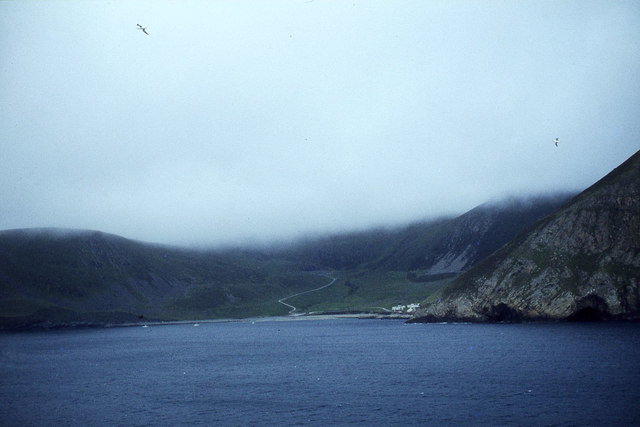
Hirta

Hirta (Scottish Gaelic: Hiort) is the largest island in the St Kilda archipelago, on the western edge of Scotland. The names Hiort (in Scottish Gaelic...
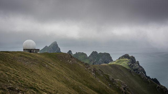
St Kilda, Scotland

St Kilda (Scottish Gaelic: Hiort) is an isolated archipelago situated 64 kilometres (40 mi) west-northwest of North Uist in the North Atlantic Ocean. It...

Stac Levenish

Stac Levenish or Stac Leibhinis (sometimes simply called Levenish/Leibhinis) is a sea stack in the St Kilda archipelago in Scotland. Lying 2.5 kilometres...

Stac Biorach

Stac Biorach (Scottish Gaelic: "the pointed stack") is a sea stack, 73 metres tall, situated between Hirta and Soay (in the "Sound of Soay") in the St...

Soay, St Kilda

Soay (Scottish Gaelic: Soaigh) is an uninhabited islet in the St Kilda archipelago, Scotland. The name is from Old Norse Seyðoy, meaning 'island of sheep...

Stac Lee

Stac Lee (Scottish Gaelic: Stac Lì) is a sea stack in the St Kilda group off the west coast of Scotland. An island Marilyn (a point with topographic prominence...

Boreray, St Kilda

Boreray (Scottish Gaelic: Boraraigh; Scots: Boreray) is an uninhabited island in the St Kilda archipelago in the North Atlantic. == Geography == Boreray...

Nearby Amenities

Located within 500m of 57.796294,-8.5682457
Seilg Geodha
Place: locality
Lat/Long: 57.7987451/-8.5646461
A'Chlaisir
Natural: bay
Source: npe
Lat/Long: 57.7965546/-8.5680913
Caolas an Duin
Natural: bay
Lat/Long: 57.7998353/-8.5724369
Bioda Mòr
Corbett: no
Ele: 178
Graham: no
Marilyn: yes
Munro: no
Natural: peak
Prominence: 178
Lat/Long: 57.7952342/-8.5604821
Natural: rock
Seamark Type: rock
Lat/Long: 57.7982286/-8.5722868
Natural: rock
Seamark Type: rock
Lat/Long: 57.7984323/-8.5725144
Natural: rock
Seamark Type: rock
Lat/Long: 57.7959191/-8.5721973
Natural: rock
Seamark Type: rock
Lat/Long: 57.7962051/-8.5668309
Natural: rock
Seamark Type: rock
Lat/Long: 57.797154/-8.5632533
Natural: rock
Seamark Type: rock
Lat/Long: 57.796998/-8.5629931
Natural: rock
Seamark Type: rock
Lat/Long: 57.7992252/-8.5652779
The data included in this document is from www.openstreetmap.org. The data is made available under ODbL.

Have you been to A' Chlaisir?

Leave your review of A' Chlaisir below (or comments, questions and feedback).