The Fleet

Sea, Estuary, Creek in Suffolk East Suffolk

England

The Fleet

Tree Colours on Gedgrave Marshes Willow trees coming back to life after the winter.
Tree Colours on Gedgrave Marshes Credit: Des Blenkinsopp

The Fleet is a picturesque area situated in Suffolk, England, known for its beautiful sea, estuary, and creek. It is a haven for nature lovers and offers a serene and tranquil atmosphere, making it a popular destination for locals and tourists alike.

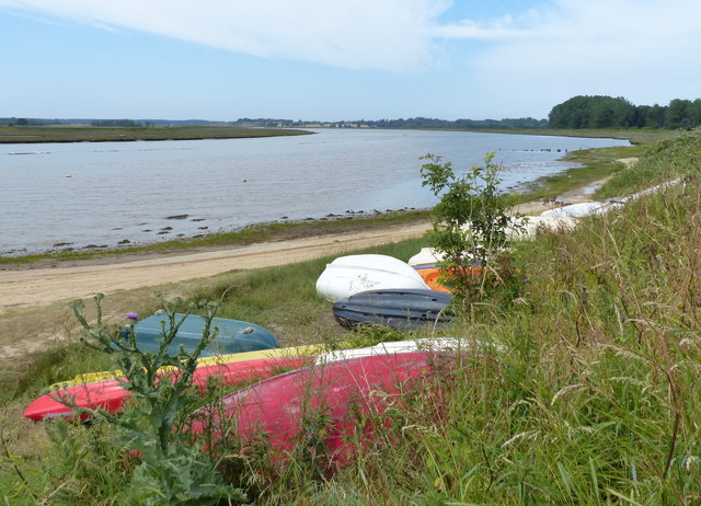
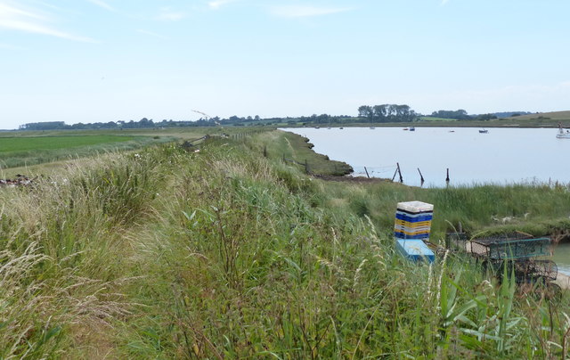
The Fleet is located in the eastern part of Suffolk, bordered by the North Sea on the east and the River Alde on the west. The area is characterized by its stunning coastline, with sandy beaches stretching for miles, making it ideal for long walks and beachcombing.

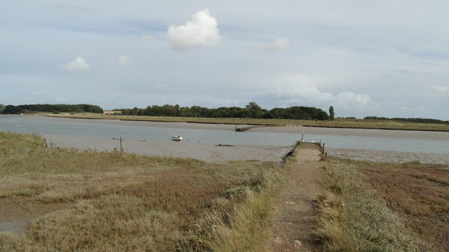
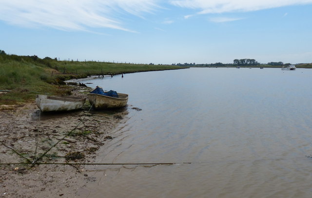
The estuary of the River Alde is a prominent feature of The Fleet. It is a tidal river that flows into the North Sea, creating a unique ecosystem that supports a wide variety of flora and fauna. The estuary is home to numerous bird species, including wading birds, ducks, and geese, making it a birdwatcher's paradise.

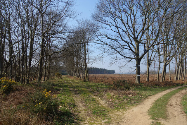
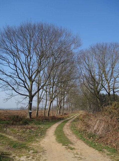
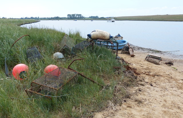
The creek in The Fleet is a narrow waterway that winds its way through the marshes and reed beds. It provides a habitat for various marine life, such as fish, crabs, and seals. The creek is also a popular spot for boating and fishing enthusiasts, who can explore its calm waters and try their luck at catching the local fish species.

Overall, The Fleet in Suffolk is a stunning natural area that offers a diverse range of landscapes, from sandy beaches to estuaries and creeks. It provides a peaceful retreat for those seeking to immerse themselves in nature and enjoy the beauty of the Suffolk coastline.

If you have any feedback on the listing, please let us know in the comments section below.
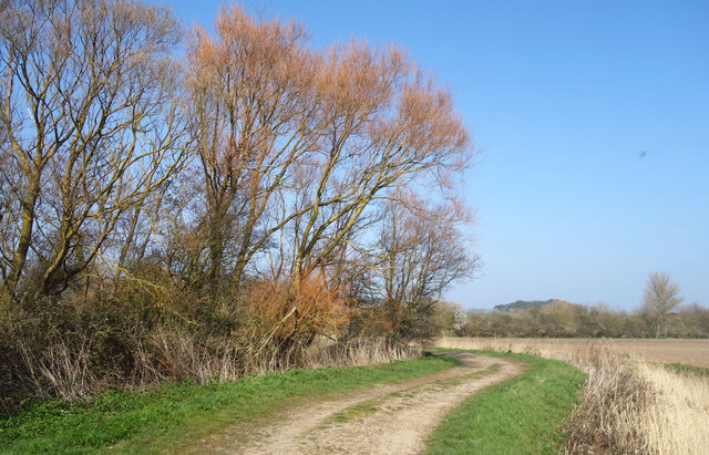
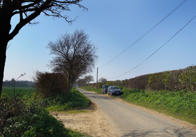
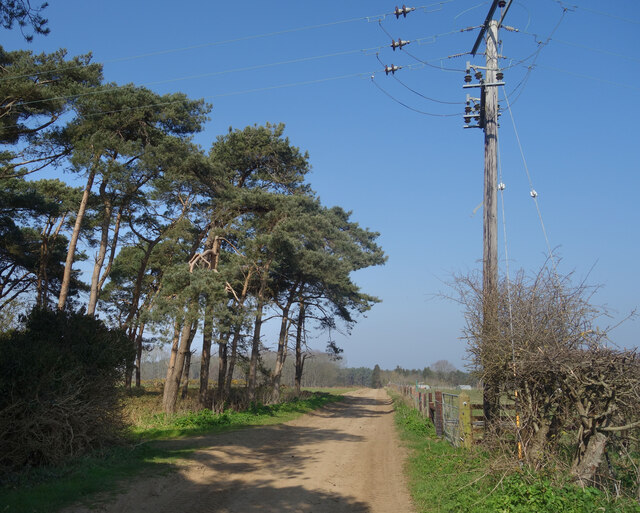
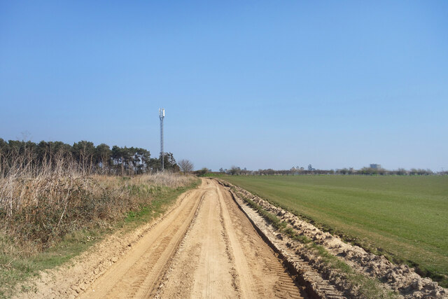
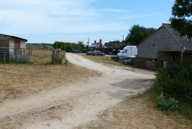
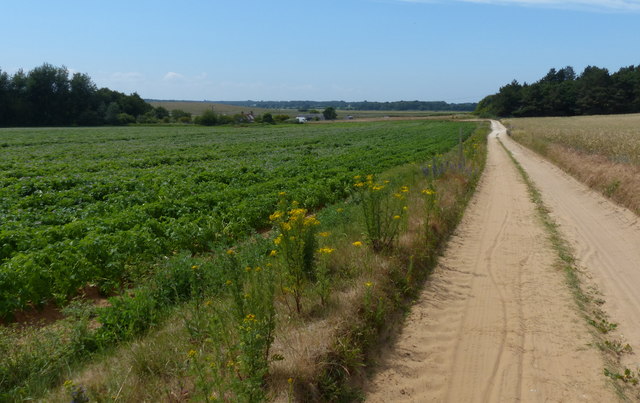
The Fleet Images

Images are sourced within 2km of 52.094919/1.4991407 or Grid Reference TM3949. Thanks to Geograph Open Source API. All images are credited.
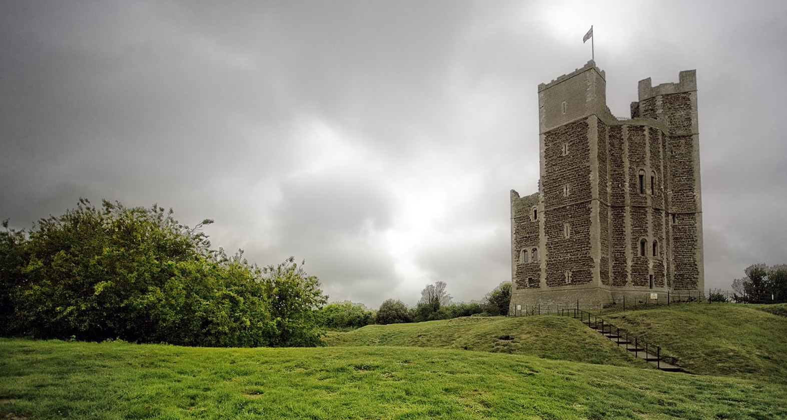
Tree Colours on Gedgrave Marshes Willow trees coming back to life after the winter.
Tree Colours on Gedgrave Marshes
Willow trees coming back to life after the winter.
Gedgrave Road A no through road leading to Gedgrave Hall and a few other houses.
The soil is very sandy round here.
Gedgrave Road
A no through road leading to Gedgrave Hall and a few other houses. The soil is very sandy round here.
Track past Pine Trees Away from the marshes by the coast the land is dry and sandy.
Track past Pine Trees
Away from the marshes by the coast the land is dry and sandy.
Flat countryside near Orford A walk through farmland west of the town.
Flat countryside near Orford
A walk through farmland west of the town.
Tracks, Gedgrave Broom A lot of this has been cut down by the look of it.
Tracks, Gedgrave Broom
A lot of this has been cut down by the look of it.
Track to The Broom A road to a premises called The Broom. On the right is Broom Covert, on the left is Gedgrave Broom.
TM4049 is kind of Broomy.
Track to The Broom
A road to a premises called The Broom. On the right is Broom Covert, on the left is Gedgrave Broom. TM4049 is kind of Broomy.
On the Suffolk Coast Path - western jetty at Butley Ferry on Butley River
Coulton Farm, Butley Low Corner
Boats along the Butley River The Butley River or Butley Creek is a tributary of the River Ore in Suffolk. The river is crossed by the Butley Ferry during the summer period, which carries walkers and cyclists using the Suffolk Coast Path.
Boats along the Butley River
The Butley River or Butley Creek is a tributary of the River Ore in Suffolk. The river is crossed by the Butley Ferry during the summer period, which carries walkers and cyclists using the Suffolk Coast Path.
The Butley River in Suffolk The Butley River or Butley Creek is a tributary of the River Ore in Suffolk. The river is crossed by the Butley Ferry during the summer period, which carries walkers and cyclists using the Suffolk Coast Path.
The Butley River in Suffolk
The Butley River or Butley Creek is a tributary of the River Ore in Suffolk. The river is crossed by the Butley Ferry during the summer period, which carries walkers and cyclists using the Suffolk Coast Path.
Butley River in Suffolk The Butley River or Butley Creek is a tributary of the River Ore in Suffolk. The river is crossed by the Butley Ferry during the summer period, which carries walkers and cyclists using the Suffolk Coast Path.
Butley River in Suffolk
The Butley River or Butley Creek is a tributary of the River Ore in Suffolk. The river is crossed by the Butley Ferry during the summer period, which carries walkers and cyclists using the Suffolk Coast Path.
Flood defences along the Butley River The Butley River or Butley Creek is a tributary of the River Ore in Suffolk. The river is crossed by the Butley Ferry during the summer period, which carries walkers and cyclists using the Suffolk Coast Path.
Flood defences along the Butley River
The Butley River or Butley Creek is a tributary of the River Ore in Suffolk. The river is crossed by the Butley Ferry during the summer period, which carries walkers and cyclists using the Suffolk Coast Path.
Ferry Cottage at the Butley River
Track leading to the Butley River and Ferry
ROC Post Orford Orford Post was commissioned in April 1961 and after a short working life closed in October 1968. The post has now been capped with a concrete block, to prevent entry. During the 1990s the post was partly vandalised, resulting in this action being taken.
ROC Post Orford
Orford Post was commissioned in April 1961 and after a short working life closed in October 1968. The post has now been capped with a concrete block, to prevent entry. During the 1990s the post was partly vandalised, resulting in this action being taken.
ROC Orlit B Post Orford ROC Orlet B Post accompanies Orford ROC Observation Post. Commissioned in April 1961, closed 1968. The structure is in good condition.
ROC Orlit B Post Orford
ROC Orlet B Post accompanies Orford ROC Observation Post. Commissioned in April 1961, closed 1968. The structure is in good condition.
Flush Bracket OSBM 2677 Richmond Farm Flush Bracket OSBM 2677 Richmond Farm NW face.
Flush Bracket OSBM 2677 Richmond Farm
Flush Bracket OSBM 2677 Richmond Farm NW face.
The view from the castle [1] Looking out over the coastal fields.  Orford Ness in the distance. Seen from the roof of Orford Castle.
The view from the castle [1]
Looking out over the coastal fields. Orford Ness in the distance. Seen from the roof of Orford Castle.
Show me another place!

The Fleet is located at Grid Ref: TM3949 (Lat: 52.094919, Lng: 1.4991407)

Administrative County: Suffolk

District: East Suffolk

Police Authority: Suffolk

What 3 Words

///blatantly.crystal.cycles. Near Rendlesham, Suffolk

Nearby Locations

The Fleet

Related Wikis

Alde–Ore Estuary

Alde–Ore Estuary is a 2,534 hectare biological and geological Site of Special Scientific Interest which stretches along the Suffolk coast between Aldeburgh...

Gedgrave

Gedgrave is a civil parish in the East Suffolk district, in the English county of Suffolk in eastern England. In 2005 its population was 30. Gedgrave once...

Gedgrave Hall Pit

Gedgrave Hall Pit is a 0.65-hectare (1.6-acre) geological Site of Special Scientific Interest in Gedgrave, south of Saxmundham in Suffolk. It is a Geological...

Richmond Farm Pit, Gedgrave

Richmond Farm Pit, Gedgrave is a 0.57-hectare (1.4-acre) geological Site of Special Scientific Interest south-west of Orford in Suffolk. It is a Geological...

Sudbourne Park Pit

Sudbourne Park Pit is a 1.1-hectare (2.7-acre) geological Site of Special Scientific Interest between Orford and Chillesford in Suffolk. It is a Geological...

Orford Castle

Orford Castle is a castle in Orford in the English county of Suffolk, 12 miles (19 km) northeast of Ipswich, with views over Orford Ness. It was built...

Butley Priory

Butley Priory, sometimes called Butley Abbey, was a religious house of Canons regular (Augustinians, Black canons) in Butley, Suffolk, dedicated to The...

Orford, Suffolk

Orford is a village in Suffolk, England, within the Suffolk Coast and Heaths Area of Outstanding Natural Beauty. It is 9 miles (14 km) east of Woodbridge...

Nearby Amenities

Located within 500m of 52.094919,1.4991407
Source: PGS
Lat/Long: 52.0919739/1.4948135
Source: PGS
Lat/Long: 52.092554/1.4942341
Source: PGS
Lat/Long: 52.0926331/1.4941268
Source: PGS
Lat/Long: 52.0935032/1.4931612
Source: PGS
Lat/Long: 52.0937734/1.4928166
Source: PGS
Lat/Long: 52.0939909/1.4928394
Source: PGS
Lat/Long: 52.094571/1.4924531
Source: PGS
Lat/Long: 52.0948874/1.4923888
Source: PGS
Lat/Long: 52.0956256/1.4924746
Source: PGS
Lat/Long: 52.0962979/1.4928823
Source: PGS
Lat/Long: 52.0968911/1.4934402
Source: PGS
Lat/Long: 52.0975502/1.4933758
Source: PGS
Lat/Long: 52.0985124/1.4958864
Source: PGS
Lat/Long: 52.0974447/1.4961868
Source: PGS
Lat/Long: 52.0971218/1.4962833
Source: PGS
Lat/Long: 52.0961529/1.4954572
Source: PGS
Lat/Long: 52.0958892/1.4949852
Source: PGS
Lat/Long: 52.0945051/1.494792
Source: PGS
Lat/Long: 52.0940964/1.4954358
Source: PGS
Lat/Long: 52.0933054/1.4964657
Source: PGS
Lat/Long: 52.0927385/1.4971738
Source: PGS
Lat/Long: 52.0921717/1.4976244
Source: PGS
Lat/Long: 52.0914136/1.4982547
Source: PGS
Lat/Long: 52.0906951/1.4981394
The data included in this document is from www.openstreetmap.org. The data is made available under ODbL.

Have you been to The Fleet?

Leave your review of The Fleet below (or comments, questions and feedback).