South Oby Dyke
Sea, Estuary, Creek in Norfolk Great Yarmouth
England
South Oby Dyke

South Oby Dyke is a small waterway located in Norfolk, England. It is a tributary of the River Bure and is primarily known for its significance as a sea, estuary, and creek. The dyke is situated in the eastern part of the county, near the village of Acle.
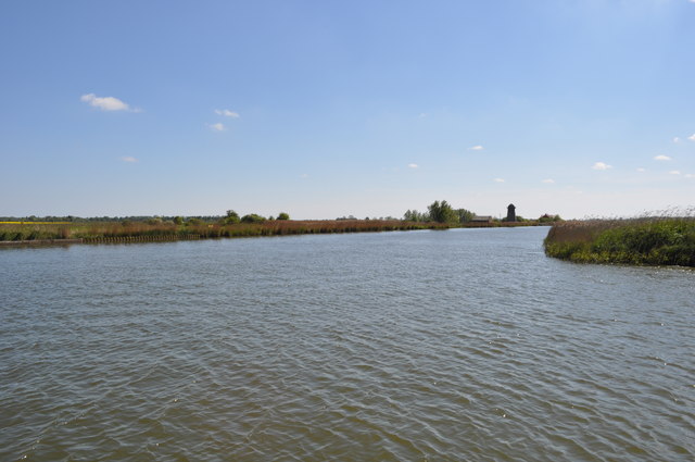
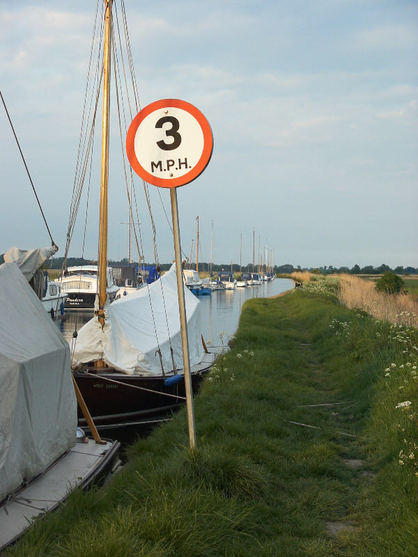
As a sea, South Oby Dyke provides a direct connection to the North Sea. It serves as a gateway for vessels to access the river system and navigate inland. The estuary section of the dyke is characterized by its wide and open expanse, where the river meets the sea. This area is subject to tidal influences, resulting in fluctuating water levels.
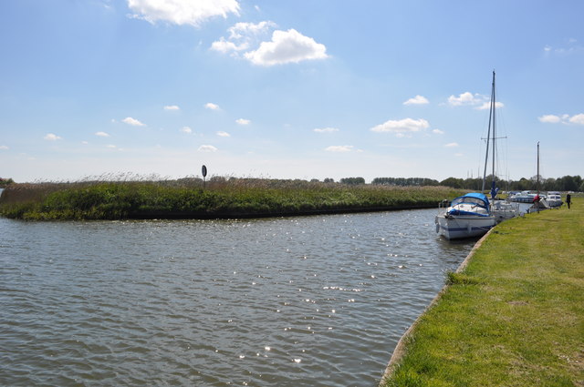
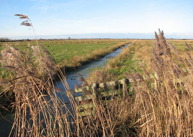
Moving upstream, the dyke gradually transforms into a creek. The creek section of South Oby Dyke is narrower and meandering, with dense vegetation lining its banks. This part of the waterway is known for its serene and picturesque surroundings, attracting nature enthusiasts and birdwatchers.
South Oby Dyke plays a vital role in the local ecosystem, supporting a diverse range of flora and fauna. It provides a habitat for various bird species, including waders, ducks, and geese. The surrounding marshes and reed beds are home to numerous aquatic plants, such as reeds and water lilies, which thrive in the brackish water conditions.
In addition to its ecological importance, South Oby Dyke also serves as a recreational area. Visitors can enjoy activities like boating, fishing, and walking along the dyke's banks, taking in the scenic beauty and tranquility of the area.
Overall, South Oby Dyke offers a unique blend of coastal, estuarine, and creek environments, making it a significant and cherished feature of Norfolk's waterways.
If you have any feedback on the listing, please let us know in the comments section below.
South Oby Dyke Images
Images are sourced within 2km of 52.672249/1.5601263 or Grid Reference TG4014. Thanks to Geograph Open Source API. All images are credited.


South Oby Dyke is located at Grid Ref: TG4014 (Lat: 52.672249, Lng: 1.5601263)
Administrative County: Norfolk
District: Great Yarmouth
Police Authority: Norfolk
What 3 Words
///assess.texts.surfed. Near Acle, Norfolk
Nearby Locations
Related Wikis

Ashby with Oby
Ashby with Oby is a civil parish in the English county of Norfolk, which is located some 5 km or 3 miles north of Acle and 15 km or 9 miles north-west...

River Thurne
The River Thurne is a river in Norfolk, England in The Broads. Just 7 miles (11 km) long, it rises 2 miles (3.2 km) from the coast near Martham Broad and...
Thurne
Thurne is a small village and civil parish in the English county of Norfolk. It is located on the River Thurne in The Broads, some 18 km (11 mi) west of...
Upton Broad and Marshes
Upton Broad and Marshes is a 195.4-hectare (483-acre) biological Site of Special Scientific Interest east of Norwich in Norfolk. It is a Nature Conservation...

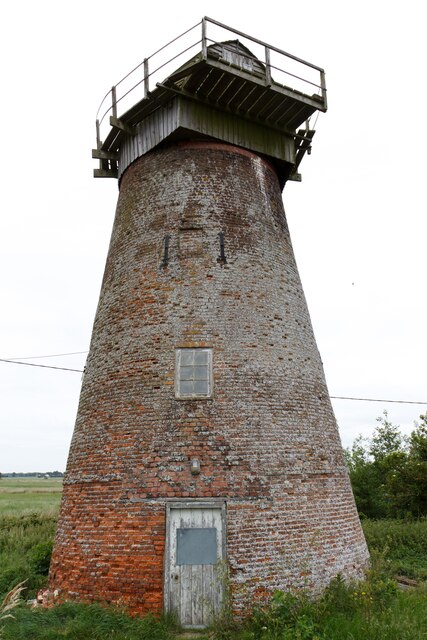
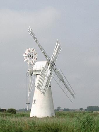
Palmer's Drainage Windmill
Palmer's Drainage Windmill is located to the north of Upton Dyke close to the village of Upton in the English county of Norfolk. Upton Dyke runs westerly...
Upton, Norfolk
Upton is a village on the River Bure in Norfolk, England within the Broads national park. The villages name means 'higher farm/settlement'.Administratively...
Clippesby
Clippesby is a village and former civil parish, now in the parish of in Fleggburgh, in the Great Yarmouth district, in the county of Norfolk, England....

Upton Fen
Upton Fen lies within The Broads National Park in Norfolk, England.It is a nature reserve in the care of Norfolk Wildlife Trust. Notable species found...
Nearby Amenities
Located within 500m of 52.672249,1.5601263Have you been to South Oby Dyke?
Leave your review of South Oby Dyke below (or comments, questions and feedback).