Besom Fleet
Sea, Estuary, Creek in Essex Colchester
England
Besom Fleet

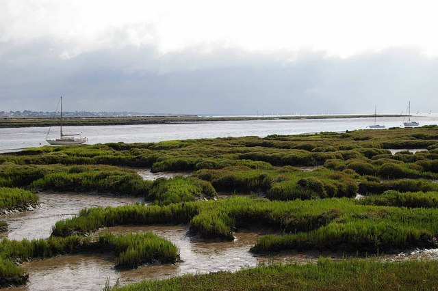
Besom Fleet is a picturesque water body located in Essex, England. It is a combination of sea, estuary, and creek, offering a diverse and unique environment for both wildlife and visitors.
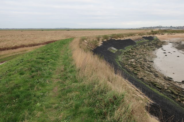
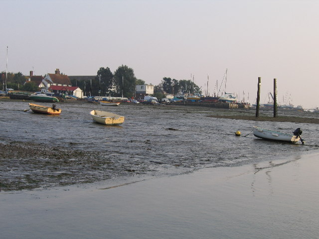
Situated on the east coast of England, Besom Fleet is surrounded by stunning natural beauty. The area is characterized by its wide expanse of water that stretches out into the North Sea. The estuary is formed by the convergence of several rivers, including the Blackwater and Colne, creating a rich and fertile habitat for various species of flora and fauna.
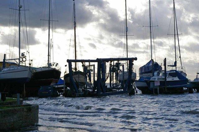
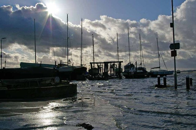
The creek, which meanders through the area, adds to the charm of Besom Fleet. It provides a sheltered and tranquil environment, ideal for boating and fishing activities. The creek is also home to a variety of bird species, including waders and waterfowl, making it a popular spot for birdwatching enthusiasts.
The coastline of Besom Fleet is dotted with sandy beaches and dunes, offering a perfect setting for sunbathing, picnicking, and even beachcombing. The area is also known for its unique flora, including sea lavender and salt marsh plants, which thrive in the brackish water conditions.
Besom Fleet is not only a haven for wildlife but also a popular destination for outdoor enthusiasts. The surrounding countryside provides ample opportunities for walking, hiking, and cycling, with several trails and paths to explore. Additionally, the nearby towns and villages offer a range of amenities, including shops, restaurants, and accommodations, ensuring a comfortable and enjoyable experience for visitors.
In conclusion, Besom Fleet is a remarkable water body in Essex, England, boasting a combination of sea, estuary, and creek, providing a diverse and beautiful environment for both nature and outdoor enthusiasts.
If you have any feedback on the listing, please let us know in the comments section below.
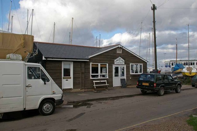
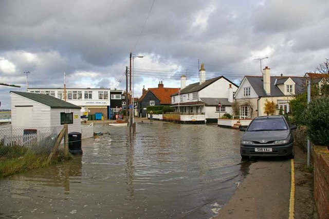
Besom Fleet Images
Images are sourced within 2km of 51.773034/0.90299342 or Grid Reference TM0012. Thanks to Geograph Open Source API. All images are credited.


Besom Fleet is located at Grid Ref: TM0012 (Lat: 51.773034, Lng: 0.90299342)
Administrative County: Essex
District: Colchester
Police Authority: Essex
What 3 Words
///clipped.chucked.stag. Near West Mersea, Essex
Nearby Locations
Related Wikis

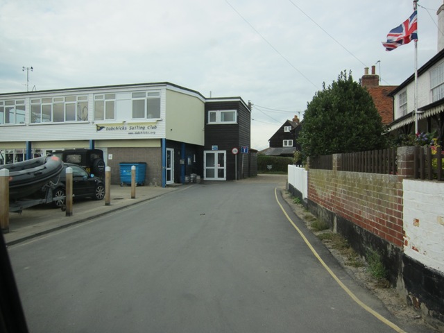
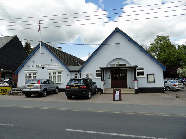
West Mersea Yacht Club
West Mersea Yacht Club (WMYC) is a British yacht club that has its clubhouse in Coast Road, West Mersea, Mersea Island, Essex. It is on the estuary of...

West Mersea Priory
West Mersea Priory was a Benedictine priory in West Mersea, Essex, England. It was founded in 1046 and granted by Edward the Confessor to the Abbey of...
West Mersea
West Mersea is a town and electoral ward in Essex, England. It is the larger (in terms of population) of two settlements on Mersea Island, south of Colchester...
Great Cob Island
Great Cob island is a small island in the estuary of the River Blackwater in Essex, England, the United Kingdom. The island is an area of low-lying salt...
Barrow Hill, Essex
Barrow Hill is a hamlet in Essex, England. It is located on Mersea Island, approximately 2 km (1.2 mi) north-northeast of West Mersea near to where the...

Ray Island
Ray Island, also known as the Ray, is a 40.5-hectare (100-acre) nature reserve west of Mersea Island in Essex. It is owned by the National Trust, who bought...
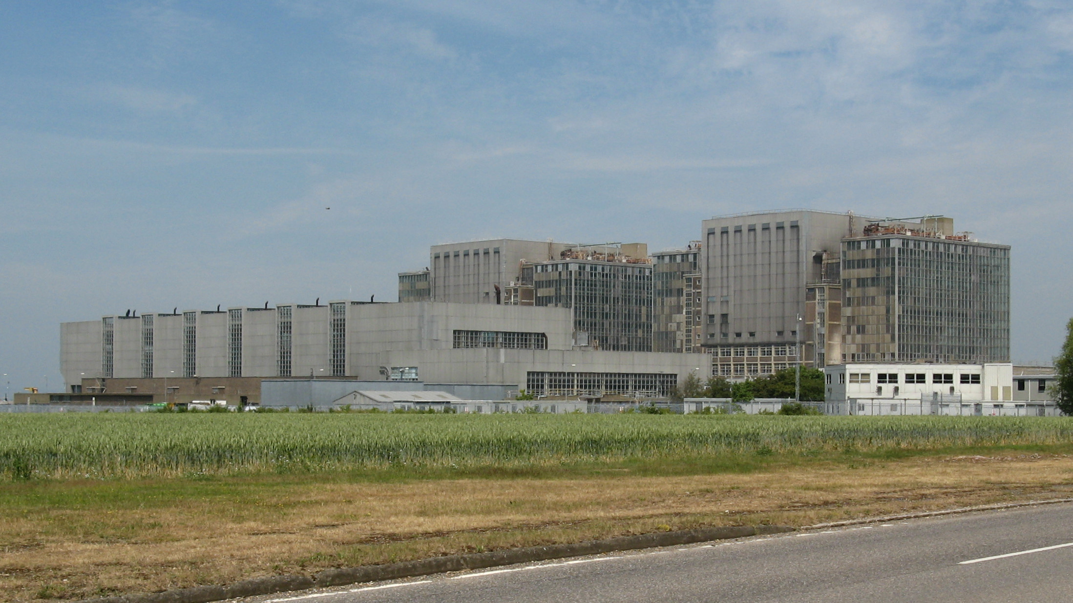
Bradwell nuclear power station
Bradwell nuclear power station is a Magnox-design nuclear power station that is undergoing decommissioning. It is located on the Dengie peninsula at the...
Bradwell B nuclear power station
Bradwell B is a proposed nuclear power station at Bradwell-on-Sea in Essex, put forward by China General Nuclear Power Group (CGN). If constructed, the...
Nearby Amenities
Located within 500m of 51.773034,0.90299342Have you been to Besom Fleet?
Leave your review of Besom Fleet below (or comments, questions and feedback).