Cobmarsh Island
Island in Essex Colchester
England
Cobmarsh Island
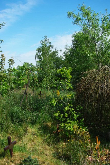
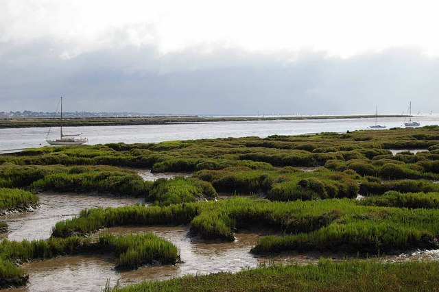
Cobmarsh Island is a small island located in the county of Essex, England. Situated in the Blackwater Estuary, it is surrounded by the River Blackwater to the north and the River Colne to the south. The island covers an area of approximately 1.6 square kilometers and is predominantly marshland, characterized by its flat and low-lying terrain.
The island is known for its rich biodiversity and serves as an important habitat for various bird species. It is designated as a Site of Special Scientific Interest (SSSI) due to its significance for wintering and breeding birds. The marshes provide an ideal environment for waders, waterfowl, and other wetland birds, making it a popular destination for birdwatchers and nature enthusiasts.
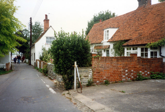
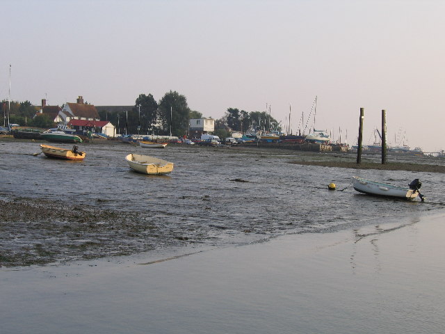
Cobmarsh Island is accessible by boat, with public access limited to certain areas to protect the sensitive ecosystem. It is a tranquil and peaceful spot, offering beautiful views of the estuary and the surrounding countryside. The island is not inhabited by permanent residents, and there are no facilities or amenities available for visitors.
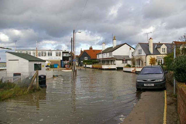
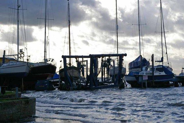
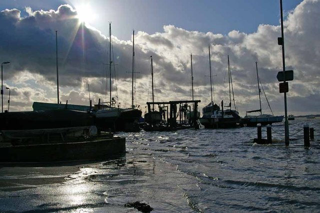
The island's location makes it susceptible to flooding, particularly during high tides and stormy weather conditions. This natural phenomenon contributes to the unique ecology of the area, as the periodic inundation of saltwater creates a brackish environment that supports a diverse range of plant and animal life.
In summary, Cobmarsh Island is a small and ecologically significant island in the Blackwater Estuary, Essex. With its marshlands, abundant birdlife, and stunning views, it offers a serene escape for those seeking a connection with nature.
If you have any feedback on the listing, please let us know in the comments section below.
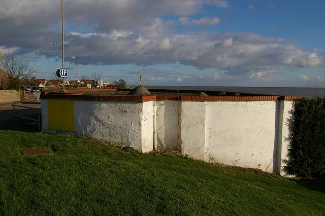
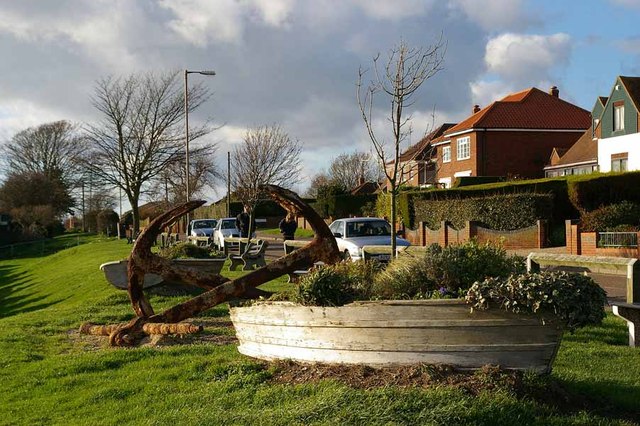
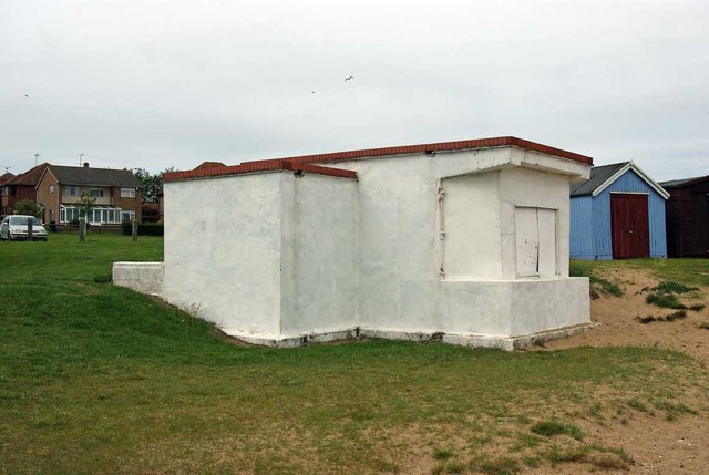
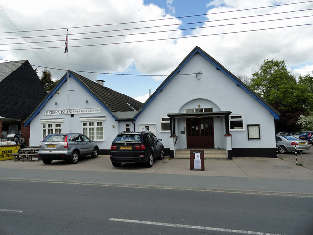
Cobmarsh Island Images
Images are sourced within 2km of 51.771967/0.89956166 or Grid Reference TM0012. Thanks to Geograph Open Source API. All images are credited.
Cobmarsh Island is located at Grid Ref: TM0012 (Lat: 51.771967, Lng: 0.89956166)
Administrative County: Essex
District: Colchester
Police Authority: Essex
What 3 Words
///water.rejects.launcher. Near West Mersea, Essex
Nearby Locations
Related Wikis

West Mersea Yacht Club
West Mersea Yacht Club (WMYC) is a British yacht club that has its clubhouse in Coast Road, West Mersea, Mersea Island, Essex. It is on the estuary of...

West Mersea Priory
West Mersea Priory was a Benedictine priory in West Mersea, Essex, England. It was founded in 1046 and granted by Edward the Confessor to the Abbey of...
West Mersea
West Mersea is a town and electoral ward in Essex, England. It is the larger (in terms of population) of two settlements on Mersea Island, south of Colchester...
Great Cob Island
Great Cob island is a small island in the estuary of the River Blackwater in Essex, England, the United Kingdom. The island is an area of low-lying salt...
Barrow Hill, Essex
Barrow Hill is a hamlet in Essex, England. It is located on Mersea Island, approximately 2 km (1.2 mi) north-northeast of West Mersea near to where the...

Ray Island
Ray Island, also known as the Ray, is a 40.5-hectare (100-acre) nature reserve west of Mersea Island in Essex. It is owned by the National Trust, who bought...
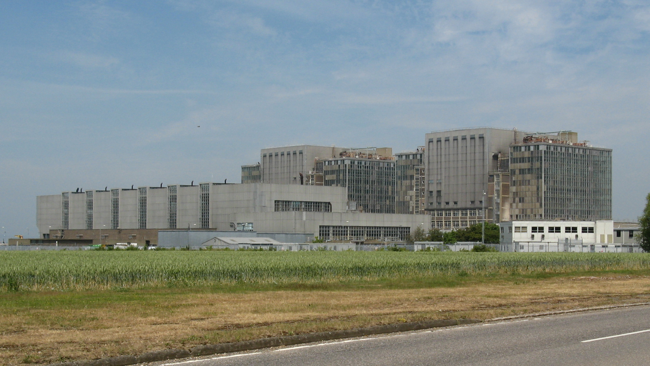
Bradwell nuclear power station
Bradwell nuclear power station is a Magnox-design nuclear power station that is undergoing decommissioning. It is located on the Dengie peninsula at the...
Bradwell B nuclear power station
Bradwell B is a proposed nuclear power station at Bradwell-on-Sea in Essex, put forward by China General Nuclear Power Group (CGN). If constructed, the...
Nearby Amenities
Located within 500m of 51.771967,0.89956166Have you been to Cobmarsh Island?
Leave your review of Cobmarsh Island below (or comments, questions and feedback).