Milton Creek
Sea, Estuary, Creek in Kent Swale
England
Milton Creek
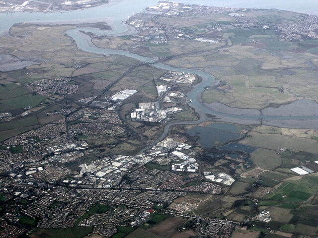
Milton Creek is a small waterway located in Kent, England. It is an estuary that flows into the River Medway and eventually into the North Sea. The creek stretches for approximately 2.5 miles and is influenced by tidal movements, resulting in a mix of saltwater and freshwater environments.
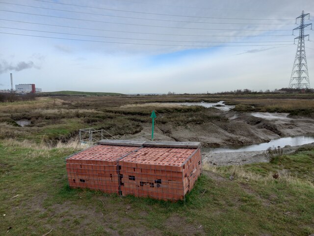
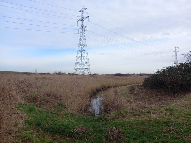
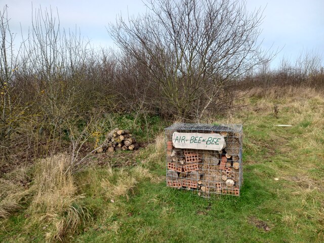
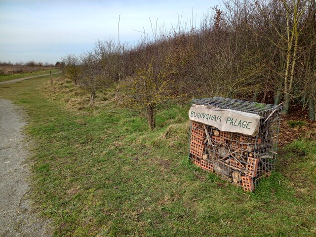
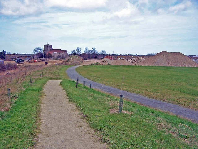
The creek is surrounded by diverse habitats, including mudflats, reed beds, and marshes, which support a variety of bird species and other wildlife. It is designated as a Site of Special Scientific Interest due to its ecological importance. The area is rich in biodiversity, with numerous species of plants, insects, and fish found in and around the creek.
The water quality in Milton Creek has improved significantly over the years due to ongoing conservation efforts. The creek was previously polluted by industrial waste, but measures have been taken to reduce pollution and restore the natural ecosystem. As a result, the creek has become a valuable resource for local communities and visitors alike.
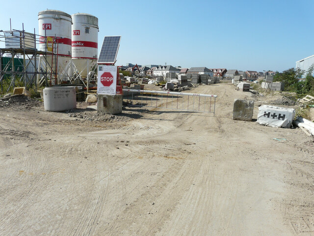
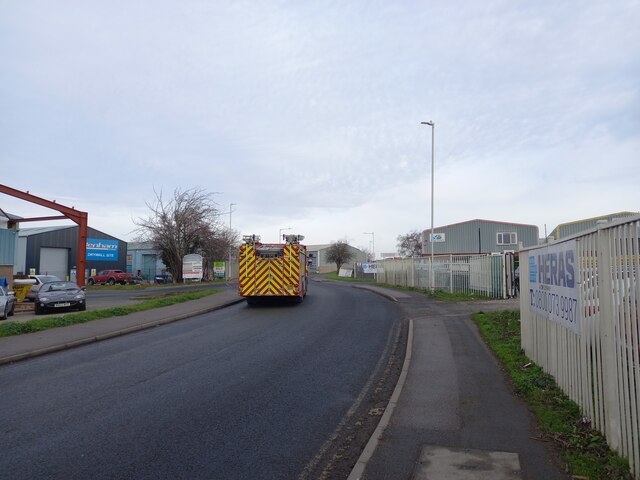
Milton Creek also holds historical significance. It was once a thriving industrial area, with mills and wharves along its banks. Today, remnants of this industrial heritage can still be seen in the form of old buildings and structures. The creek provides a glimpse into the region's industrial past, adding to its cultural and historical value.
Overall, Milton Creek is a unique and important waterway in Kent. Its blend of natural beauty, diverse wildlife, and historical significance make it a popular destination for nature enthusiasts, birdwatchers, and those interested in the region's heritage.
If you have any feedback on the listing, please let us know in the comments section below.
Milton Creek Images
Images are sourced within 2km of 51.350249/0.74966919 or Grid Reference TQ9164. Thanks to Geograph Open Source API. All images are credited.


Milton Creek is located at Grid Ref: TQ9164 (Lat: 51.350249, Lng: 0.74966919)
Administrative County: Kent
District: Swale
Police Authority: Kent
What 3 Words
///voting.appear.news. Near Sittingbourne, Kent
Nearby Locations
Related Wikis

Milton Regis
Milton Regis is a village in the district of Swale in Kent, England. Former names include Milton-next-Sittingbourne, Milton Royal, Middleton, Midletun...
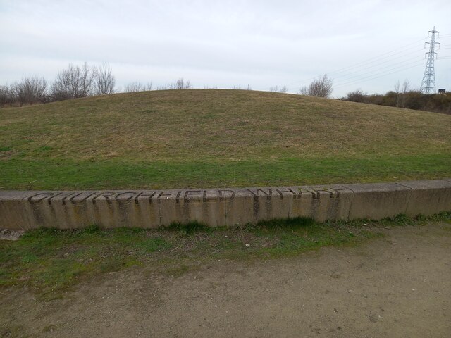
Milton Creek Country Park
Milton Creek Country Park is situated in 128 acres between Milton Regis and Kemsley , on the west bank of Milton Creek in Sittingbourne, Kent, England...

Bowaters Paper Railway
The Bowaters Paper Railway was a 2 ft 6 in (762 mm) narrow gauge industrial railway running from Sittingbourne to Ridham Dock on The Swale in the county...

Central Park Stadium
Central Park Stadium formerly Sittingbourne Stadium is a greyhound racing track, and former speedway track and football stadium located in Murston, Sittingbourne...
Nearby Amenities
Located within 500m of 51.350249,0.74966919Have you been to Milton Creek?
Leave your review of Milton Creek below (or comments, questions and feedback).