Murston
Settlement in Kent Swale
England
Murston
Murston is a small suburban village located in the borough of Swale in the county of Kent, England. Situated on the eastern outskirts of Sittingbourne, Murston is bordered by the A2 road to the north and the River Swale to the south. The village has a population of approximately 5,000 residents.
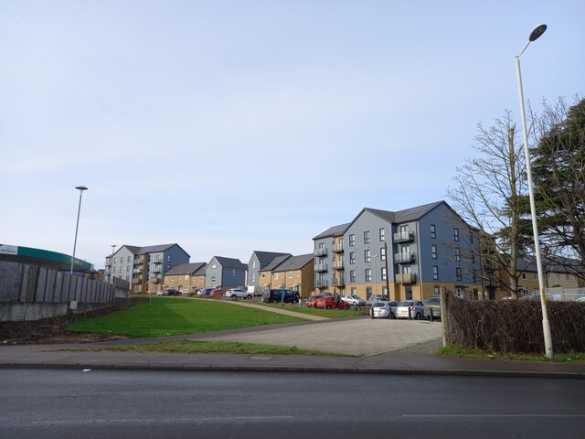
Originally an agricultural area, Murston experienced significant growth during the 20th century with the expansion of Sittingbourne and the development of nearby industrial estates. Today, it serves as a residential area for those working in the town and surrounding industrial businesses.
Murston is known for its close-knit community and offers a range of amenities to its residents. The village has a primary school, a community center, several parks and green spaces, and a variety of local shops and services. Additionally, there are a few pubs and restaurants in the area, catering to both locals and visitors.
The village benefits from its proximity to Sittingbourne, which provides additional amenities such as supermarkets, shopping centers, and leisure facilities. The area is well-connected by road and rail, with easy access to the A2 and A249 highways, as well as a train station in Sittingbourne that offers regular services to London and other major cities.
Overall, Murston provides a peaceful residential environment with convenient access to nearby urban centers, making it an attractive place to live for individuals and families looking for a balance between suburban tranquility and access to amenities and employment opportunities.
If you have any feedback on the listing, please let us know in the comments section below.
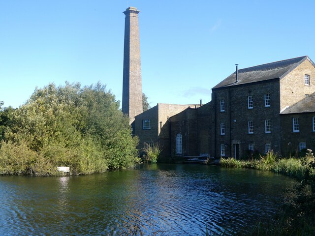
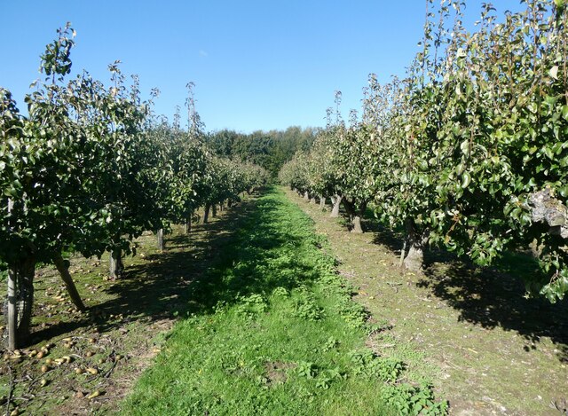
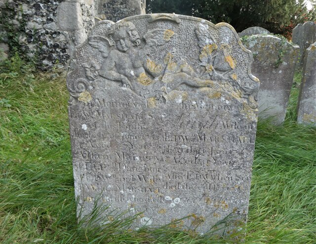
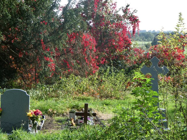
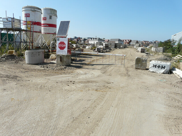
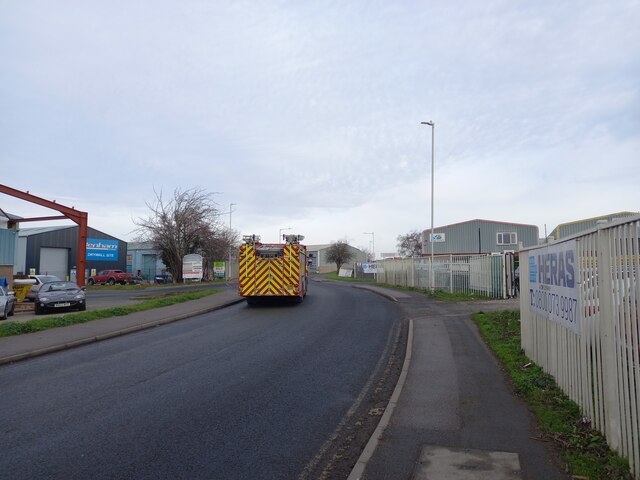
Murston Images
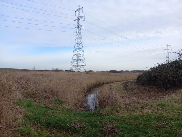
Images are sourced within 2km of 51.343074/0.753975 or Grid Reference TQ9164. Thanks to Geograph Open Source API. All images are credited.


Murston is located at Grid Ref: TQ9164 (Lat: 51.343074, Lng: 0.753975)
Administrative County: Kent
District: Swale
Police Authority: Kent
What 3 Words
///lovely.depend.anyone. Near Sittingbourne, Kent
Nearby Locations
Related Wikis
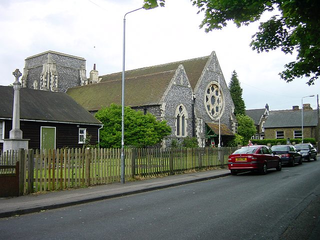
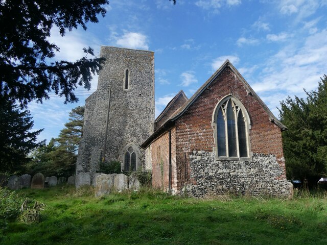
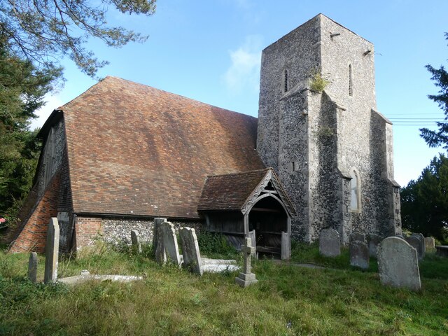
Church of All Saints, Murston
The Church of All Saints, Murston, Sittingbourne, is an Anglican parish church in the county of Kent, England. It is notable due to its architect, William...
Murston
Murston is a suburb of Sittingbourne in Kent, England. It is about 1 mile north-east of central Sittingbourne, on the east bank of the Milton Creek....

Central Park Stadium
Central Park Stadium formerly Sittingbourne Stadium is a greyhound racing track, and former speedway track and football stadium located in Murston, Sittingbourne...

Milton Regis
Milton Regis is a village in the district of Swale in Kent, England. Former names include Milton-next-Sittingbourne, Milton Royal, Middleton, Midletun...
Nearby Amenities
Located within 500m of 51.343074,0.753975Have you been to Murston?
Leave your review of Murston below (or comments, questions and feedback).