Decoy Outfall
Sea, Estuary, Creek in Lincolnshire South Holland
England
Decoy Outfall
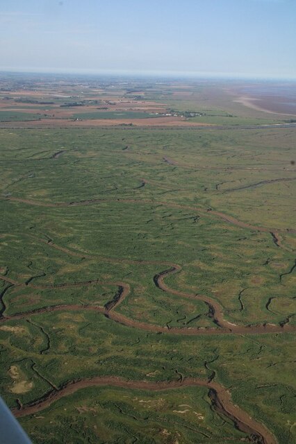
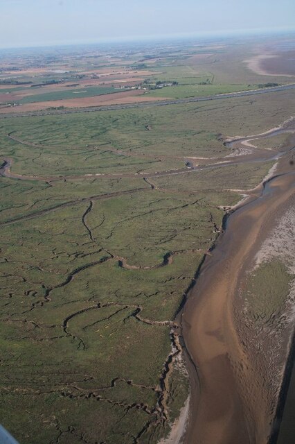
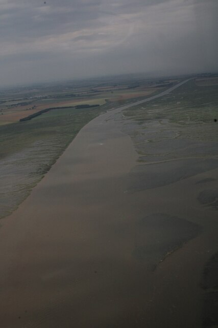
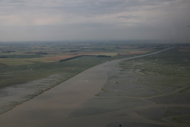
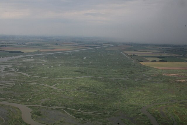
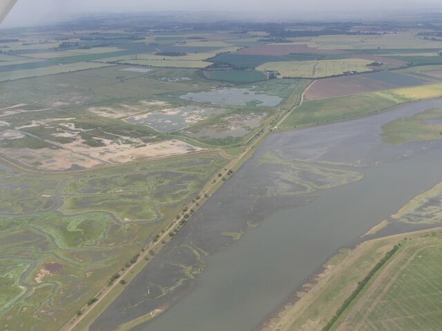
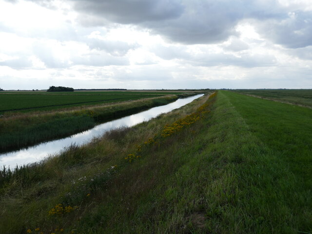
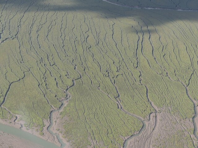
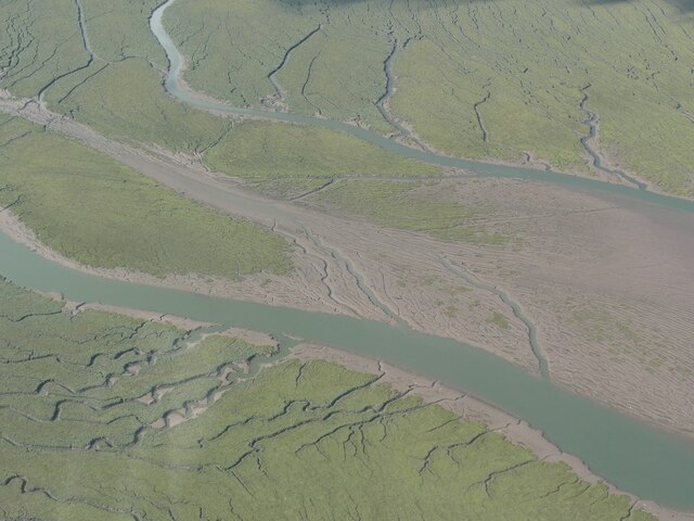
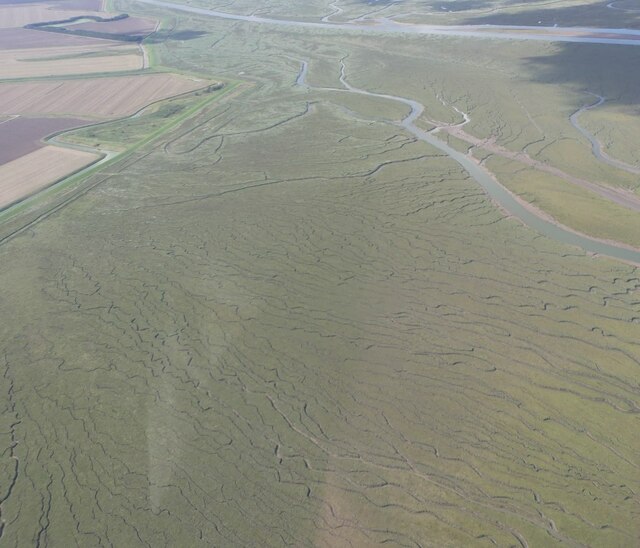
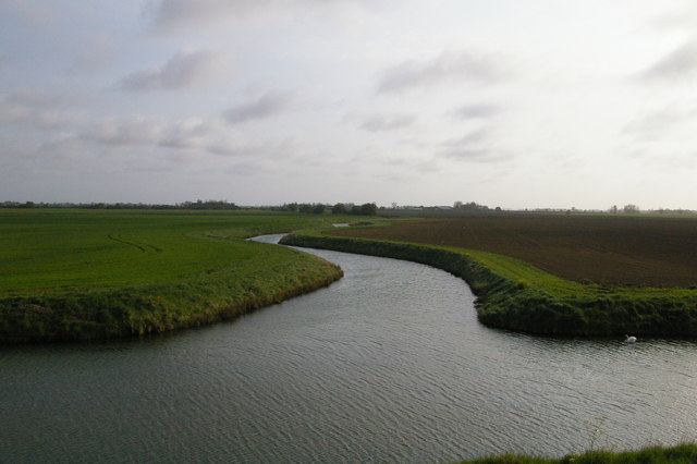
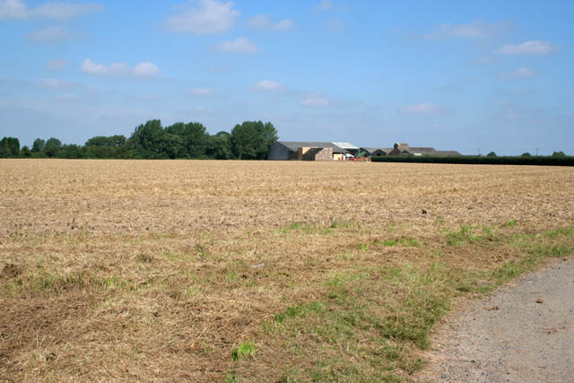
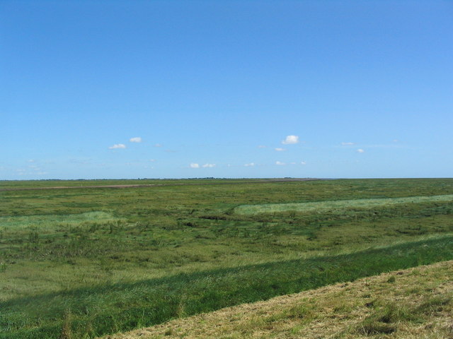
Decoy Outfall is a prominent coastal feature located in Lincolnshire, England, specifically in the area where the sea, estuary, and creek converge. It serves as a waterway outlet connecting the land to the North Sea, allowing for the discharge of excess water from the surrounding areas.
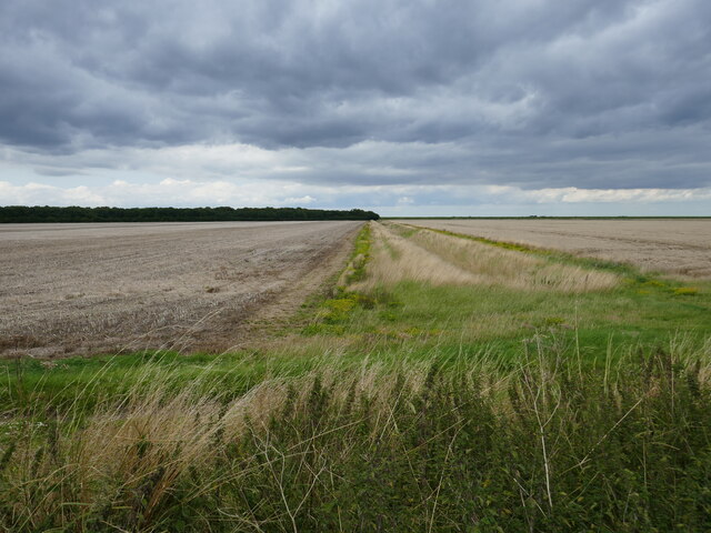
This outfall plays a crucial role in managing water levels and preventing flooding in the region. It acts as a drainage system for nearby agricultural land, which is vital for maintaining the fertility and productivity of the local farmlands. The outfall serves as an essential component of the area's infrastructure, ensuring a sustainable environment for both human activities and natural ecosystems.
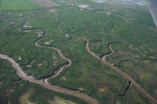
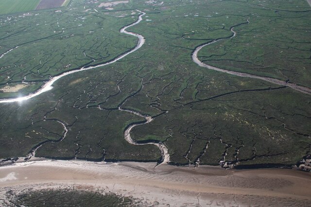
The water flowing through Decoy Outfall is a mix of freshwater and seawater, as it combines the flow from the nearby creek and estuary with that of the North Sea. This creates a unique blend of habitats, attracting a diverse range of flora and fauna. The intertidal zone formed by the outfall provides a valuable feeding ground for numerous bird species, including waders and waterfowl.
Decoy Outfall is also a popular spot for recreational activities such as fishing and birdwatching. Its picturesque surroundings and rich biodiversity draw nature enthusiasts and tourists alike. The outfall's location near the coast offers stunning views of the sea, while its connection to the creek and estuary allows for exploration of the diverse ecosystems present in the area.
In conclusion, Decoy Outfall in Lincolnshire is a vital waterway outlet that facilitates drainage and flood prevention while providing a unique environment for wildlife and recreational opportunities for visitors.
If you have any feedback on the listing, please let us know in the comments section below.
Decoy Outfall Images
Images are sourced within 2km of 52.901674/0.048856698 or Grid Reference TF3735. Thanks to Geograph Open Source API. All images are credited.
Decoy Outfall is located at Grid Ref: TF3735 (Lat: 52.901674, Lng: 0.048856698)
Administrative County: Lincolnshire
District: South Holland
Police Authority: Lincolnshire
What 3 Words
///wriggled.martini.patrolled. Near Fishtoft, Lincolnshire
Nearby Locations
Related Wikis
River Welland
The River Welland is a lowland river in the east of England, some 65 miles (105 km) long. It drains part of the Midlands eastwards to The Wash. The river...

RSPB Frampton Marsh
Frampton Marsh is a nature reserve in Lincolnshire, England. The reserve is situated on the coast of The Wash, some 4 miles from the town of Boston, between...

HM Prison North Sea Camp
HM Prison North Sea Camp is a men's open prison (Category D), located on the edge of the parish of Freiston (near Boston) in Lincolnshire, England. North...

Holbeach St Marks
Holbeach St Marks is a fenland village in the South Holland district of southern Lincolnshire, England. It is 5 miles (8 km) north from Holbeach, 3 miles...

Holbeach St Matthew
Holbeach St Matthew is a small fenland village in the South Holland district of southern Lincolnshire, England. It lies 6 miles (10 km) north-east from...

Pilgrim Fathers Memorial
The Pilgrim Fathers Memorial is located on the north bank of The Haven at the site of the former Scotia Creek, Fishtoft, seaward of Boston in Lincolnshire...
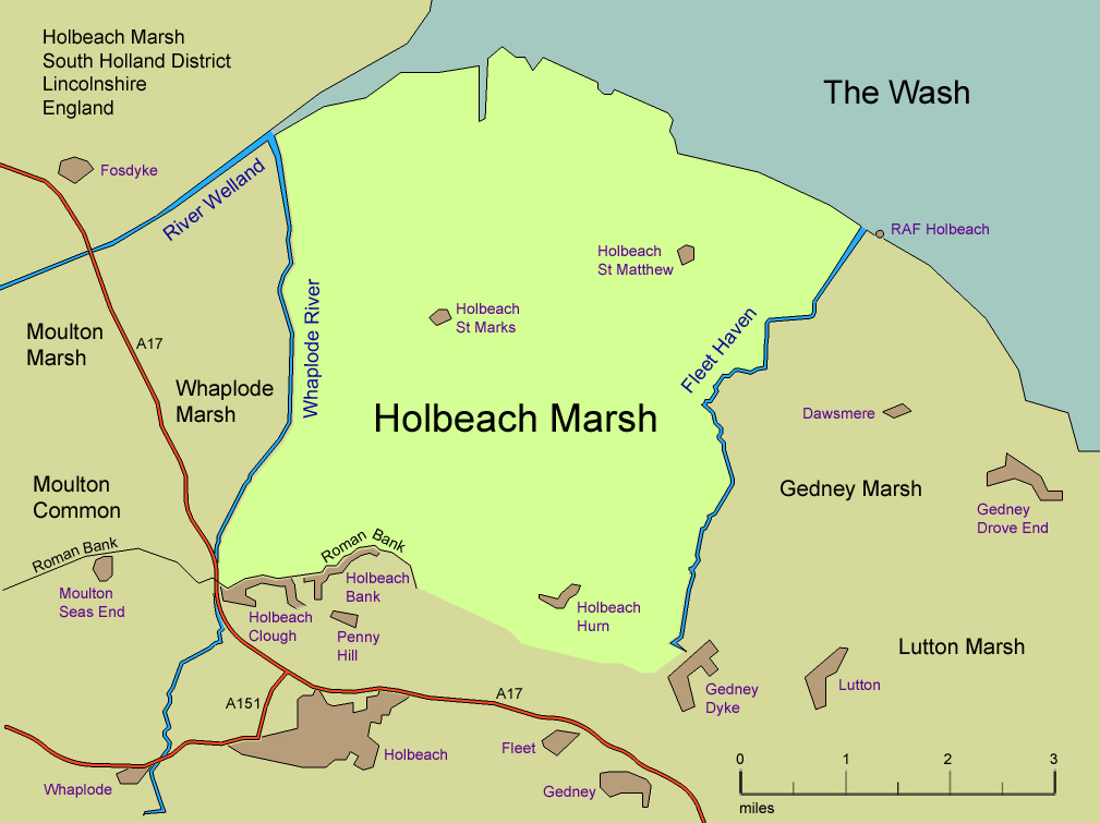
Holbeach Marsh
Holbeach Marsh is a fenland area in the South Holland district of Lincolnshire, England. Holbeach Marsh is situated between the market town of Holbeach...
Boston Rural District
Boston was a rural district in Holland, Lincolnshire from 1894 to 1974. It was formed from the Boston rural sanitary district by the Local Government Act...
Have you been to Decoy Outfall?
Leave your review of Decoy Outfall below (or comments, questions and feedback).