Rammey Marsh Flood Relief Channel
Sea, Estuary, Creek in Essex Epping Forest
England
Rammey Marsh Flood Relief Channel

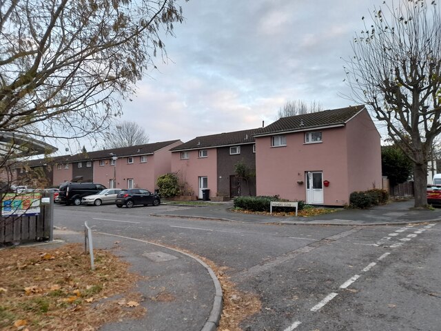
The Rammey Marsh Flood Relief Channel is a man-made waterway located in Essex, England. It serves as a crucial element of the region's flood defense infrastructure, specifically designed to mitigate the risk of flooding from the sea, estuary, and creek.
Constructed in the mid-20th century, the channel stretches approximately 9 kilometers (5.6 miles) in length, starting from the River Lee Navigation in the north and flowing southwards into the River Thames. Its strategic location allows it to intercept floodwaters from these water bodies, diverting them away from vulnerable areas such as Rammey Marsh, Waltham Abbey, and nearby settlements.
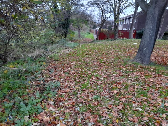
The channel features a combination of concrete and earth embankments, ensuring stability and preventing water leakage. It is equipped with sluice gates and control structures at key points, enabling authorities to regulate water levels and flow rates during periods of heavy rainfall or high tides. This flexibility allows the channel to adapt to changing conditions and effectively manage flood risks.
In addition to flood prevention, the Rammey Marsh Flood Relief Channel also provides environmental benefits. Its banks are lined with vegetation, creating a habitat for various plant and animal species. The waterway is often frequented by birdwatchers, as it attracts a diverse range of birdlife.
Overall, the Rammey Marsh Flood Relief Channel plays a vital role in safeguarding the local community from the threat of flooding, while also contributing to the ecological diversity of the area.
If you have any feedback on the listing, please let us know in the comments section below.
Rammey Marsh Flood Relief Channel Images
Images are sourced within 2km of 51.675744/-0.009548934 or Grid Reference TQ3799. Thanks to Geograph Open Source API. All images are credited.


Rammey Marsh Flood Relief Channel is located at Grid Ref: TQ3799 (Lat: 51.675744, Lng: -0.009548934)
Administrative County: Essex
District: Epping Forest
Police Authority: Essex
What 3 Words
///fakes.flash.today. Near Waltham Abbey, Essex
Nearby Locations
Related Wikis

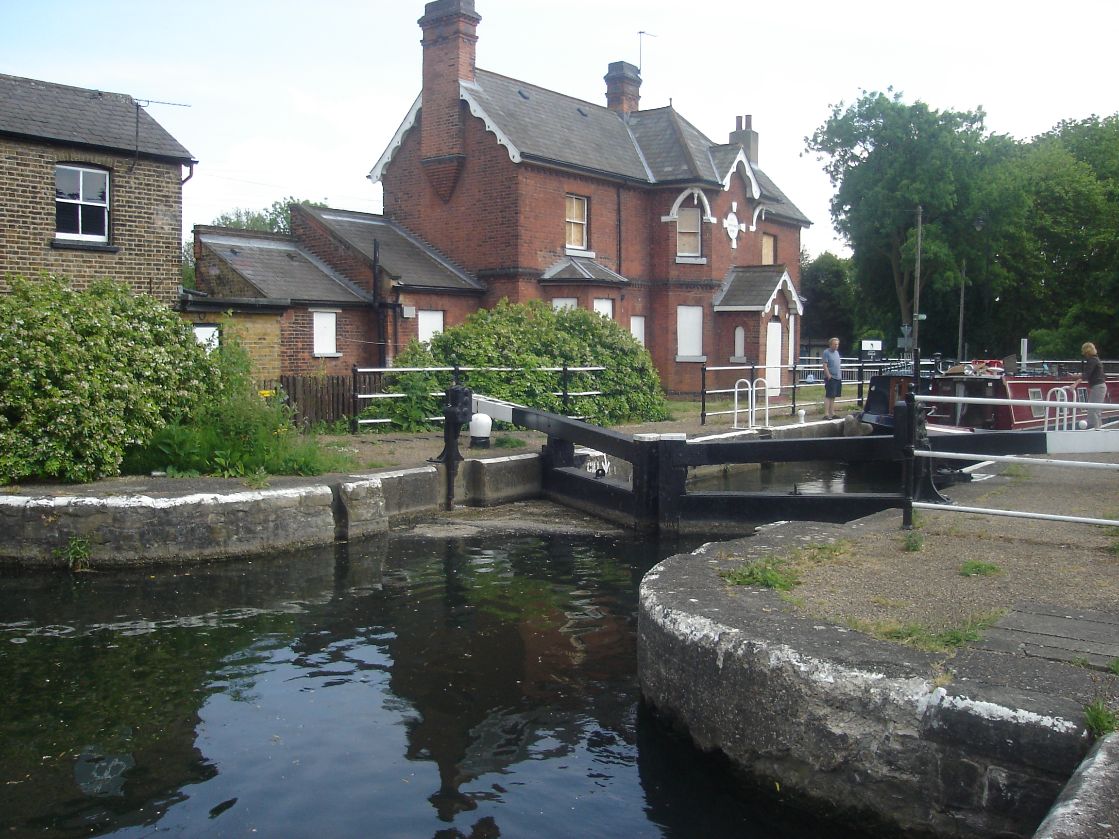
Rammey Marsh Lock
Rammey Marsh Lock (No 12) is a lock on the River Lee Navigation at Enfield, London, England. The area adjacent to the lock is known as Rammey Marsh and...

Cobbins Brook
Cobbins Brook is a minor tributary of the River Lea. It forms to the north of Epping, Essex and flows past Epping Upland, Waltham Abbey until it joins...

Rammey Marsh
Rammey Marsh is located in the Lee Valley Park at Enfield Lock, Enfield, England, and covers approximately 42 hectares (100 acres). The site is owned and...

Newmans Weir
Newmans Weir is a weir on the River Lea located near Enfield Lock. The weir has wooden sluice gates within cast-iron guide frames. It was reconstructed...

Enfield Island Village
Enfield Island Village is a modern property development in Enfield Lock, in the London Borough of Enfield, north London. Before April 1994, Enfield Island...
Royal Small Arms Factory
The Royal Small Arms Factory (RSAF) was a UK government-owned rifle factory in Enfield, adjoining the Lee Navigation in the Lea Valley. Some parts were...

Oasis Academy Enfield
Oasis Academy Enfield is a coeducational secondary school and sixth form with academy status, located in the Enfield Lock area of Enfield, England. The...
Enfield Lock (lock)
Enfield Lock (No 13) is a lock on the River Lee Navigation, in the London Borough of Enfield. It gives its name to the surrounding area of Enfield Lock...
Nearby Amenities
Located within 500m of 51.675744,-0.009548934Have you been to Rammey Marsh Flood Relief Channel?
Leave your review of Rammey Marsh Flood Relief Channel below (or comments, questions and feedback).