Ashlake Creek

Sea, Estuary, Creek in Hampshire

England

Ashlake Creek

Track in Firestone Copse Well maintained, wide forestry tracks run all through the copse, making it a popular place for walking.
Track in Firestone Copse Credit: Des Blenkinsopp

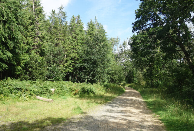
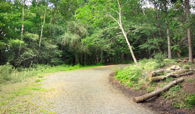
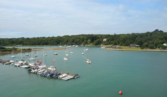
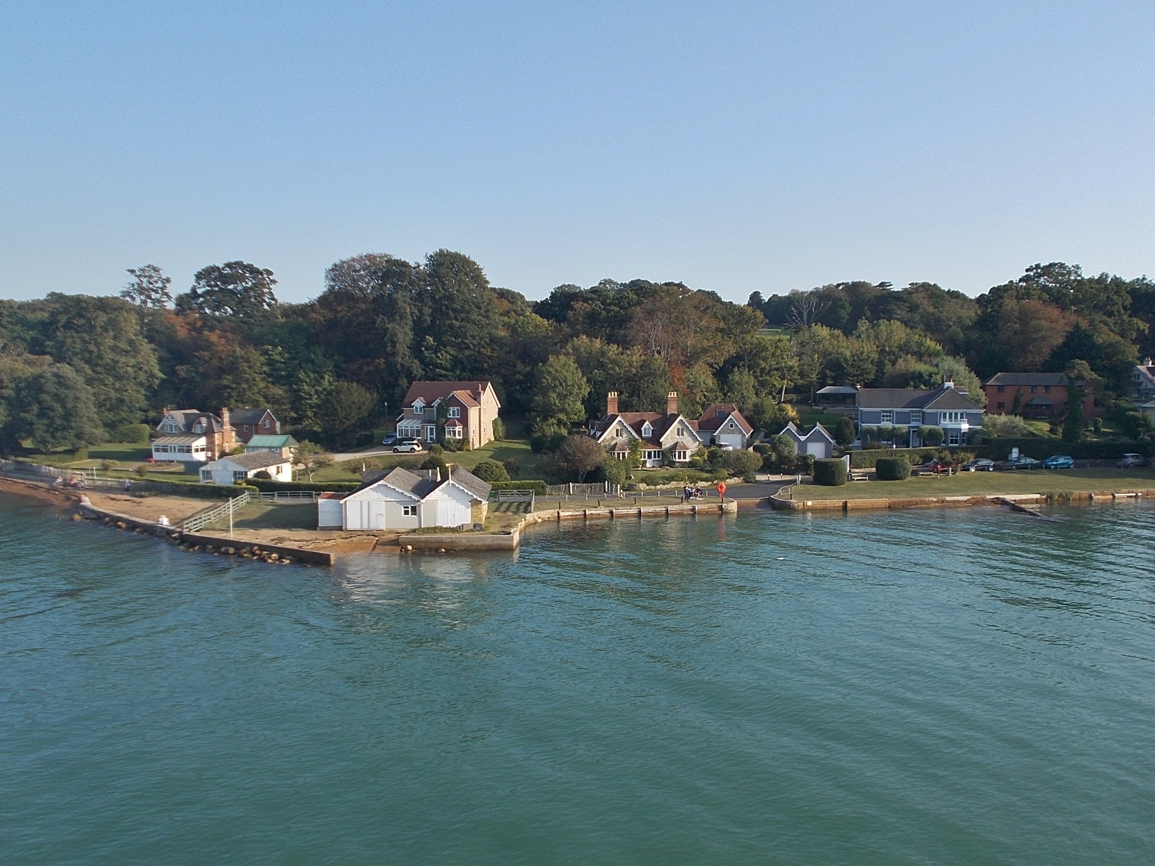
Ashlake Creek is a picturesque waterway situated in Hampshire, England. It is known for its unique combination of sea, estuary, and creek, making it a popular attraction for nature lovers and outdoor enthusiasts. The creek stretches for approximately 3 miles, beginning at Ashlake Copse and flowing into the Solent, a strait that separates the Isle of Wight from mainland England.

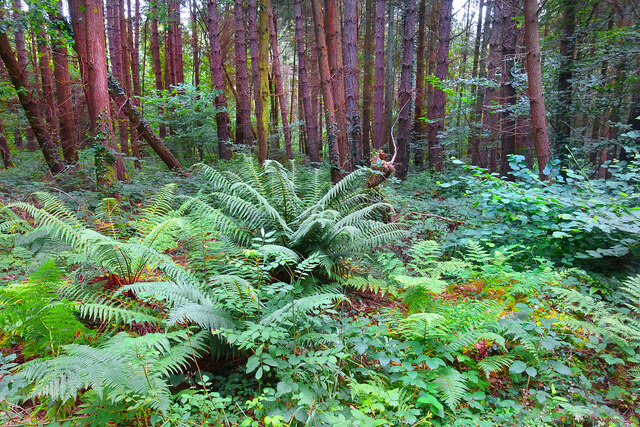
The creek's estuary provides a diverse ecosystem, supporting a wide range of flora and fauna. The surrounding marshland is home to various bird species, including herons, egrets, and ducks, making it an ideal spot for birdwatching. The creek's calm and tranquil waters are also inhabited by fish, such as sea bass, flounder, and mullet, attracting anglers looking for a quiet fishing spot.

The creek's proximity to the Solent makes it a popular destination for water sports enthusiasts. Kayaking and paddleboarding are popular activities, allowing visitors to explore the creek's winding channels and take in the stunning coastal scenery. The creek's gentle currents also make it suitable for beginners and families.

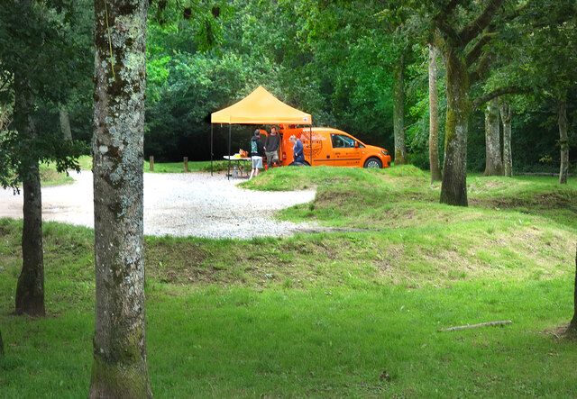
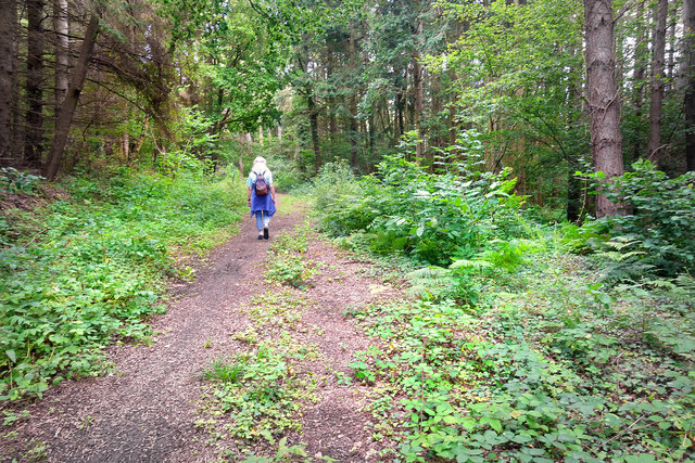
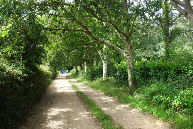
Ashlake Creek offers several walking trails along its banks, providing visitors with the opportunity to immerse themselves in the natural beauty of the area. The trails meander through wooded areas, offering glimpses of wildlife and providing peaceful spots for picnics and relaxation.

Overall, Ashlake Creek in Hampshire offers a unique blend of sea, estuary, and creek environments, making it a must-visit destination for those seeking a tranquil and picturesque natural setting.

If you have any feedback on the listing, please let us know in the comments section below.

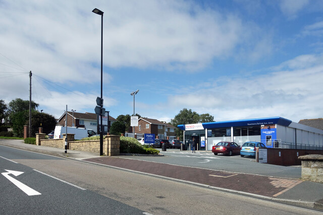
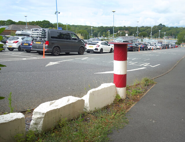
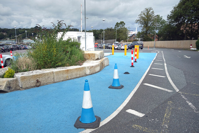
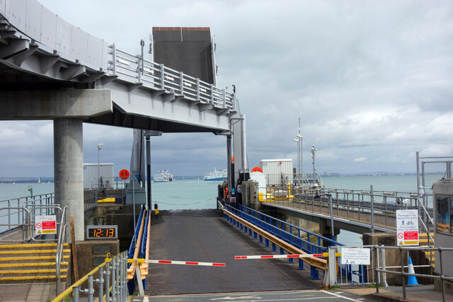
Ashlake Creek Images

Images are sourced within 2km of 50.73006/-1.2203521 or Grid Reference SZ5592. Thanks to Geograph Open Source API. All images are credited.

Track in Firestone Copse Well maintained, wide forestry tracks run all through the copse, making it a popular place for walking.
Track in Firestone Copse
Well maintained, wide forestry tracks run all through the copse, making it a popular place for walking.
Bend in the Track A forestry track in Firestone Copse.
Bend in the Track
A forestry track in Firestone Copse.
Drew's Brews in the Forest A mobile coffee shop in the Firestone Copse car park.
Drew's Brews in the Forest
A mobile coffee shop in the Firestone Copse car park.
Gate into the Forest Access gate into the less visited eastern part of Firestone copse. The main forest tracks are open for cycling, but the yellow notice warns against using unofficial paths which have been made as they could be dangerous.
That's probably half the attraction, but at least the forestry people have covered themselves.
Gate into the Forest
Access gate into the less visited eastern part of Firestone copse. The main forest tracks are open for cycling, but the yellow notice warns against using unofficial paths which have been made as they could be dangerous. That's probably half the attraction, but at least the forestry people have covered themselves.
Path in the Forest The smaller, eastern section of Firestone Copse is much less visited than the main bit on the other side of Firestone Copse Road. The tracks are muddier and less well maintained.
Path in the Forest
The smaller, eastern section of Firestone Copse is much less visited than the main bit on the other side of Firestone Copse Road. The tracks are muddier and less well maintained.
Ferns in the Forest Away from the paths, a lot of the forest is not easy to wander about in.
Ferns in the Forest
Away from the paths, a lot of the forest is not easy to wander about in.
Archway at Quarr Abbey These outbuildings next to the abbey are made out of local stone and are quite different in appearance to the red brick abbey itself.
Archway at Quarr Abbey
These outbuildings next to the abbey are made out of local stone and are quite different in appearance to the red brick abbey itself.
Quarr Road A leafy avenue between the present abbey and the ruins of its medieval predecessor. Part of the Isle of Wight Coast Path.
Quarr Road
A leafy avenue between the present abbey and the ruins of its medieval predecessor. Part of the Isle of Wight Coast Path.
Quarr Abbey Tower The abbey buildings rise above the surrounding trees.
Quarr Abbey Tower
The abbey buildings rise above the surrounding trees.
Madonna & Child, Quarr Abbey A statue in the abbey garden.
Madonna & Child, Quarr Abbey
A statue in the abbey garden.
Quarr Abbey Another picture of the impressive brick built abbey which was constructed between 1907 and 1912 to the designs of one of the monks.
Quarr Abbey
Another picture of the impressive brick built abbey which was constructed between 1907 and 1912 to the designs of one of the monks.
Houses on Wootton High Street An old Isle of Wight Railway notice board is on the wall.
Houses on Wootton High Street
An old Isle of Wight Railway notice board is on the wall.
Tesco Express, Wootton
"The Needles" at the Ferry Port By the pedestrian entrance to the IOW ferry terminal at Fishbourne.
A model of the island's famous rocks and lighthouse at the western end.
A bit of concrete, a bit of pipe, a bit of paint and a bit of imagination.
"The Needles" at the Ferry Port
By the pedestrian entrance to the IOW ferry terminal at Fishbourne. A model of the island's famous rocks and lighthouse at the western end. A bit of concrete, a bit of pipe, a bit of paint and a bit of imagination.
Cones & Colours The entrance to the ferry terminal at Fishbourne.
Cones & Colours
The entrance to the ferry terminal at Fishbourne.
12:13 at the Dock By the two vehicle loading ramps at Fishbourne ferry terminal. The arriving and departing boats are passing each other mid shot.
12:13 at the Dock
By the two vehicle loading ramps at Fishbourne ferry terminal. The arriving and departing boats are passing each other mid shot.
Moorings on Wootton Creek Like other tidal estuaries on both sides of The Solent, Wootton Creek is home to a fleet of small boats.
Moorings on Wootton Creek
Like other tidal estuaries on both sides of The Solent, Wootton Creek is home to a fleet of small boats.
Isle of Wight Steam Railway Wootton Station One of the two terminal stations on this line. The locomotive is about to run round for the return journey to Smallbrook Junction.
Isle of Wight Steam Railway Wootton Station
One of the two terminal stations on this line. The locomotive is about to run round for the return journey to Smallbrook Junction.
Show me another place!

Ashlake Creek is located at Grid Ref: SZ5592 (Lat: 50.73006, Lng: -1.2203521)

Unitary Authority: Isle of Wight

Police Authority: Hampshire

What 3 Words

///clerk.knots.mimes. Near Wootton, Isle of Wight

Related Wikis

Fishbourne, Isle of Wight

Fishbourne is a village between Wootton and Ryde, on the Isle of Wight. The name "Fishbourne" might mean "stream of fish" or "fish spring."It is positioned...

Isle of Wight Festival 1969

The 1969 Isle of Wight Festival was held on 29–31 August 1969 at Wootton Creek, on the Isle of Wight. The festival attracted an audience of approximately...

Wootton Bridge

Wootton Bridge is a large village, civil parish and electoral ward with about 3,000 residents on the Isle of Wight, first recorded around the year 1086...

Wootton Creek

Wootton Creek is a tidal estuary that flows into the Solent on the north coast of the Isle of Wight. The estuary has also been known in the past as "Fishbourne...

St Edmund's Church, Wootton

St. Edmund's Church, Wootton is a parish church in the Church of England located in Wootton, Isle of Wight. == History == The church is medieval in origin...
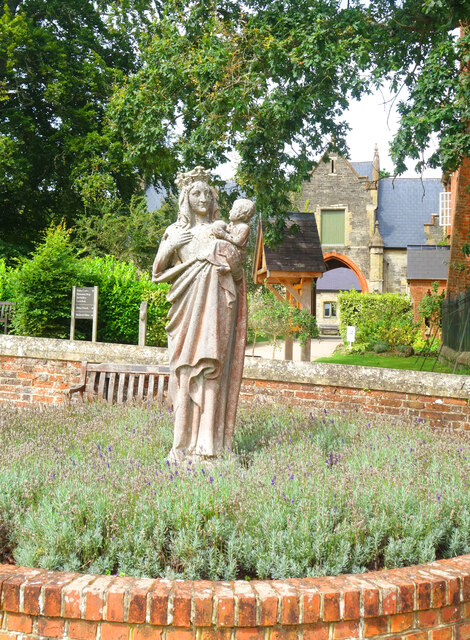
Quarr Abbey House

The Quarr Abbey House was one of several houses constructed along the north coast of the Isle of Wight in southern England. Built in the 19th century from...
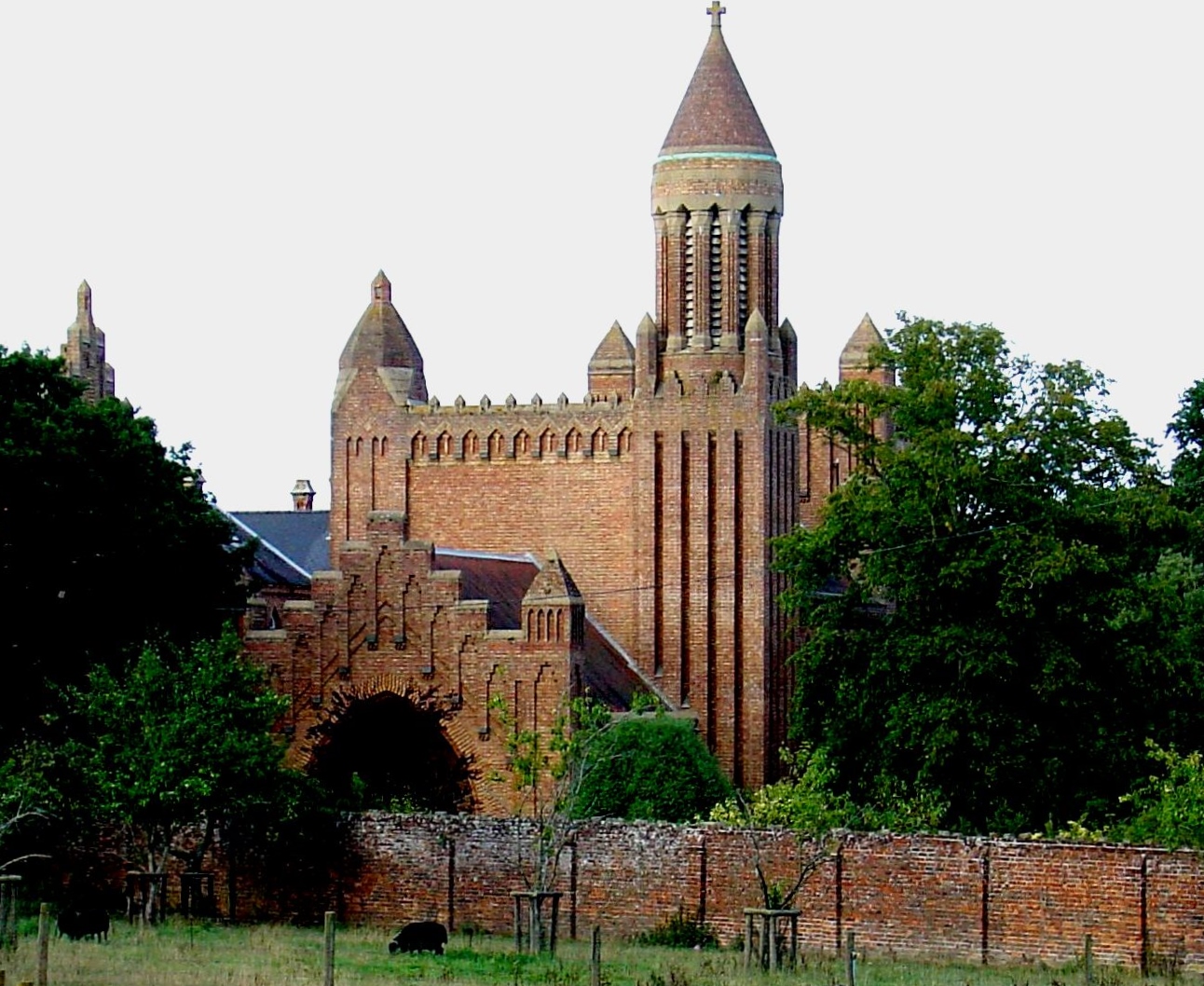
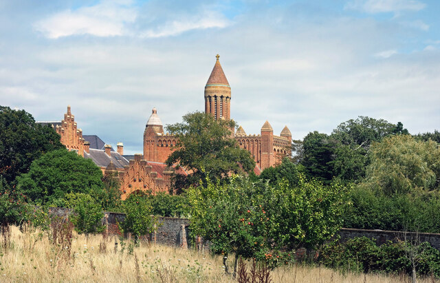
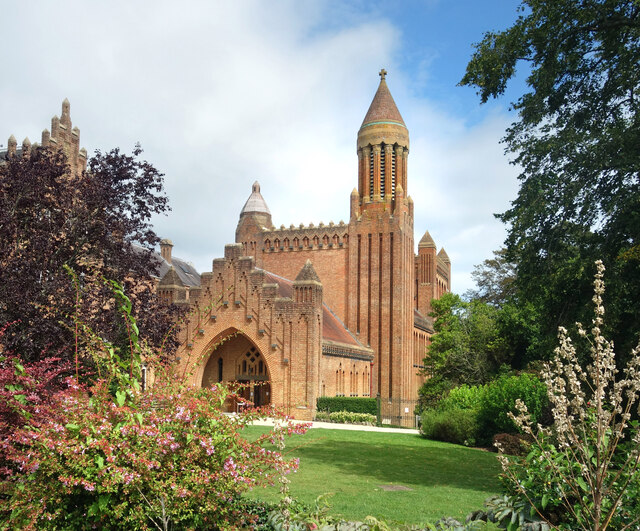
Quarr Abbey

Quarr Abbey (French: Abbaye Notre-Dame de Quarr) is a monastery between the villages of Binstead and Fishbourne on the Isle of Wight in southern England...

St Mark's Church, Wootton

St. Mark's Church, Wootton is a church in the Church of England located in Wootton, Isle of Wight. == History == The church dates from 1909 and was designed...

Nearby Amenities

Located within 500m of 50.73006,-1.2203521
Source: PGS
Lat/Long: 50.7341972/-1.2197941
Source: PGS
Lat/Long: 50.7327472/-1.220058
Source: PGS
Lat/Long: 50.7321659/-1.2201071
Source: PGS
Lat/Long: 50.7318078/-1.2206123
Source: PGS
Lat/Long: 50.731514/-1.2212229
Source: PGS
Lat/Long: 50.7312174/-1.222476
Source: PGS
Lat/Long: 50.7314705/-1.2230768
Source: PGS
Lat/Long: 50.7311793/-1.2232078
Source: PGS
Lat/Long: 50.7307335/-1.2226354
Source: PGS
Lat/Long: 50.7301343/-1.2230816
Source: PGS
Lat/Long: 50.7299463/-1.2232259
Source: PGS
Lat/Long: 50.7295024/-1.2236822
Source: PGS
Lat/Long: 50.7292304/-1.2240337
Source: PGS
Lat/Long: 50.728929/-1.2244083
Source: PGS
Lat/Long: 50.728784/-1.2246585
Source: PGS
Lat/Long: 50.7285304/-1.2250525
Source: PGS
Lat/Long: 50.7280177/-1.225821
Source: PGS
Lat/Long: 50.7277567/-1.2262539
Source: PGS
Lat/Long: 50.726686/-1.2245821
Source: PGS
Lat/Long: 50.7267776/-1.2247658
Source: PGS
Lat/Long: 50.727713/-1.2236386
Source: PGS
Lat/Long: 50.7281999/-1.2227678
Source: PGS
Lat/Long: 50.7284879/-1.2224159
Source: PGS
Lat/Long: 50.7289055/-1.2220388
Source: PGS
Lat/Long: 50.7292364/-1.2216852
Source: PGS
Lat/Long: 50.7292927/-1.2202311
Source: PGS
Lat/Long: 50.7294766/-1.2195962
Source: PGS
Lat/Long: 50.7301341/-1.219532
Source: PGS
Lat/Long: 50.7304253/-1.2189437
Source: PGS
Lat/Long: 50.7309461/-1.2181303
Source: PGS
Lat/Long: 50.7334463/-1.2174238
Source: PGS
Lat/Long: 50.7335969/-1.2175585
Post Box
Operator: Royal Mail
Operator Wikidata: Q638098
Post Box Mounting: pier
Post Box Type: lamp
Ref: PO33 34
Ref GB Uprn: 10023711299
Website: https://www.royalmail.com/services-near-you/postbox/woodside-po33-4aa/0000PO3334
Lat/Long: 50.733655/-1.22438
Crossing
Crossing Island: yes
Lat/Long: 50.7263889/-1.2197602
Bus Stop
Kite Hill
Bench: no
Bin: yes
Bus: yes
Contact Website: https://www.islandbuses.info/stops/230000004780
Naptan AtcoCode: 230000004780
Naptan Bearing: NE
Naptan CommonName: Kite Hill
Naptan Indicator: towards Ryde
Naptan NaptanCode: iowdmgm
Naptan Street: Kite Hill
Naptan Verified: no
Public Transport: platform
Shelter: no
Tactile Paving: no
Lat/Long: 50.7265231/-1.2195724
Post Box
Brand: Royal Mail
Brand Wikidata: Q638098
Check Date Collection Times: 2023-05-13
Collection Plate: CP7
Collection Times: Mo-Fr 09:00; Sa 07:00; Su off
Mapillary: 1036448337259947
Operator: Royal Mail
Operator Wikidata: Q638098
Post Box Mounting: pier
Post Box Type: lamp
Ref: PO33 115D
Ref GB Uprn: 10015317142
Royal Cypher: EIIR
Royal Cypher Wikidata: Q33102113
Survey Date: 2022-07-20
Website: https://www.royalmail.com/services-near-you/postbox/kite-hill-po33-4aa/000PO33115
Lat/Long: 50.726537/-1.2195026
Crossing
Crossing: unmarked
Crossing Markings: no
Kerb: no
Tactile Paving: no
Lat/Long: 50.7337163/-1.2243492
Ref GB Uprn: 10094234747
Removed Amenity: telephone
Lat/Long: 50.7265671/-1.2193665
Telephone
Booth: KX100
Covered: booth
Ref GB Uprn: 10024901384
Lat/Long: 50.7304639/-1.2153455
Source: PGS
Lat/Long: 50.7278628/-1.2232989
Barrier: cycle_barrier
Bicycle: yes
Foot: yes
Lat/Long: 50.7281687/-1.218902
Barrier: cycle_barrier
Bicycle: yes
Foot: yes
Lat/Long: 50.7282125/-1.2188762
Leisure: slipway
Lat/Long: 50.728796/-1.2246155
Nursing Home
Kite Hill Nursing Home
Addr City: Wootton
Addr Country: GB
Addr Postcode: PO33 4LE
Addr Street: Kite Hill
Fhrs Id: 540778
Source Addr: FHRS Open Data
Lat/Long: 50.7258842/-1.2222391
Noexit: yes
Lat/Long: 50.7296615/-1.2248086
Noexit: yes
Lat/Long: 50.7296955/-1.2247644
Fishbourne Garage
Shop: car
Lat/Long: 50.7295185/-1.215266
Fishbourne
Place: village
Wikidata: Q2075943
Wikipedia: en:Fishbourne, Isle of Wight
Lat/Long: 50.7319767/-1.2145819
Addr Housename: Ashlake Copse
Lat/Long: 50.727731/-1.2195449
Addr Housename: Bramblewood
Lat/Long: 50.7284608/-1.2200389
Addr Housename: Kite Crest
Lat/Long: 50.7260936/-1.2197545
Addr Housename: Kite Hill Lodge
Lat/Long: 50.7261892/-1.2194271
Addr Housename: Squirrils
Lat/Long: 50.7269488/-1.2197879
Addr Housename: Sweet Meadow
Lat/Long: 50.7256184/-1.2210804
Addr Housename: The Maples
Lat/Long: 50.7258611/-1.2202664
Addr Housename: The Torrs
Lat/Long: 50.7259732/-1.2199877
Hiking: yes
Information: guidepost
Tourism: information
Lat/Long: 50.7265626/-1.219393
Horse: yes
Information: guidepost
Tourism: information
Lat/Long: 50.7288619/-1.2185278
Power: substation
Ref GB Uprn: 10024893377
Lat/Long: 50.731484/-1.2140432
Leisure: slipway
Lat/Long: 50.7328095/-1.2176263
Little Canada Adventure Centre
Place: locality
Lat/Long: 50.7336881/-1.2228459
Leisure: slipway
Lat/Long: 50.7280363/-1.2256891
Hiking: yes
Information: guidepost
Tourism: information
Lat/Long: 50.7290431/-1.218144
Hiking: yes
Information: guidepost
Tourism: information
Lat/Long: 50.7309174/-1.2165481
Hiking: yes
Information: guidepost
Tourism: information
Lat/Long: 50.7305354/-1.2153076
Leisure: slipway
Lat/Long: 50.7278617/-1.2260156
Leisure: slipway
Lat/Long: 50.7277526/-1.2262157
Leisure: slipway
Lat/Long: 50.728156/-1.225453
Leisure: slipway
Lat/Long: 50.7289973/-1.2242755
Leisure: slipway
Lat/Long: 50.7291392/-1.2241134
Leisure: slipway
Lat/Long: 50.7292667/-1.2239315
Leisure: slipway
Lat/Long: 50.7296186/-1.2234643
Addr City: Wootton
Addr Housename: Villa 2
Addr Housenumber: 38
Addr Street: Creek Gardens
Lat/Long: 50.7316726/-1.2232142
Addr City: Wootton
Addr Housename: Creek Corner
Addr Housenumber: 39
Addr Street: Creek Gardens
Lat/Long: 50.7317164/-1.2233139
Addr City: Wootton
Addr Housename: Creek View
Addr Housenumber: 37
Addr Street: Creek Gardens
Lat/Long: 50.7317998/-1.2231771
Addr City: Wootton
Addr Housename: Villa 4
Addr Housenumber: 36
Addr Street: Creek Gardens
Lat/Long: 50.731757/-1.2230791
Addr City: Wootton
Addr Housename: Villa 8
Addr Housenumber: 32
Addr Street: Creek Gardens
Lat/Long: 50.7316704/-1.2228256
Addr City: Wootton
Addr Housename: Villa 5
Addr Housenumber: 35
Addr Street: Creek Gardens
Lat/Long: 50.7316341/-1.2230115
Addr City: Wootton
Addr Housename: Villa 6
Addr Housenumber: 34
Addr Street: Creek Gardens
Lat/Long: 50.73168/-1.2229625
Addr City: Wootton
Addr Housename: Villa 7
Addr Housenumber: 33
Addr Street: Creek Gardens
Lat/Long: 50.7317046/-1.2228983
Addr City: Wootton
Addr Housename: Chillerton
Addr Housenumber: 28
Addr Street: Creek Gardens
Lat/Long: 50.7318338/-1.2225871
Addr City: Wootton
Addr Housename: Brooke
Addr Housenumber: 31
Addr Street: Creek Gardens
Lat/Long: 50.7318403/-1.2224874
Addr City: Wootton
Addr Housename: Cottage 1
Addr Housenumber: 30
Addr Street: Creek Gardens
Lat/Long: 50.7318649/-1.2225482
Addr City: Wootton
Addr Housename: Northwood
Addr Housenumber: 29
Addr Street: Creek Gardens
Lat/Long: 50.7318082/-1.222533
Creek Gardens
Place: locality
Lat/Long: 50.731795/-1.2229963
Addr City: Wootton
Addr Housename: Rookley
Addr Housenumber: 26
Addr Street: Creek Gardens
Lat/Long: 50.7319389/-1.2227071
Addr City: Wootton
Addr Housename: Mottistone
Addr Housenumber: 27
Addr Street: Creek Gardens
Lat/Long: 50.7319036/-1.2226429
Addr City: Wootton
Addr Housename: Ningwood
Addr Housenumber: 24
Addr Street: Creek Gardens
Lat/Long: 50.7319015/-1.2227511
Addr City: Wootton
Addr Housename: Grange
Addr Housenumber: 23
Addr Street: Creek Gardens
Lat/Long: 50.7319548/-1.2228146
Addr City: Wootton
Addr Housename: Sea View
Addr Housenumber: 22
Addr Street: Creek Gardens
Lat/Long: 50.7319816/-1.222872
Addr City: Wootton
Addr Housename: Whippingham
Addr Housenumber: 25
Addr Street: Creek Gardens
Lat/Long: 50.7318737/-1.2226835
Addr City: Wootton
Addr Housename: Dickens
Addr Housenumber: 18
Addr Street: Creek Gardens
Lat/Long: 50.7320139/-1.2230924
Addr City: Wootton
Addr Housename: Sandown
Addr Housenumber: 21
Addr Street: Creek Gardens
Lat/Long: 50.7320149/-1.2229859
Addr City: Wootton
Addr Housename: Shanklin
Addr Housenumber: 20
Addr Street: Creek Gardens
Lat/Long: 50.732047/-1.2230467
Addr City: Wootton
Addr Housename: Styles
Addr Housenumber: 19
Addr Street: Creek Gardens
Lat/Long: 50.7319818/-1.2230214
Addr City: Wootton
Addr Housename: Lake
Addr Housenumber: 14
Addr Street: Creek Gardens
Lat/Long: 50.7321075/-1.2232208
Addr City: Wootton
Addr Housename: Bembridge
Addr Housenumber: 17
Addr Street: Creek Gardens
Lat/Long: 50.7321097/-1.2231228
Addr City: Wootton
Addr Housename: Yarmouth
Addr Housenumber: 16
Addr Street: Creek Gardens
Lat/Long: 50.7321385/-1.2231802
Addr City: Wootton
Addr Housename: Osbourne
Addr Housenumber: 15
Addr Street: Creek Gardens
Lat/Long: 50.7320776/-1.2231566
Addr City: Wootton
Addr Housename: Rockville
Addr Housenumber: 9
Addr Street: Creek Gardens
Lat/Long: 50.7318231/-1.223561
Addr City: Wootton
Addr Housename: Villa 19
Addr Housenumber: 13
Addr Street: Creek Gardens
Lat/Long: 50.7319127/-1.2232885
Addr City: Wootton
Addr Housename: Villa 20
Addr Housenumber: 12
Addr Street: Creek Gardens
Lat/Long: 50.7319511/-1.2234003
Addr City: Wootton
Addr Housename: Coniston
Addr Housenumber: 11
Addr Street: Creek Gardens
Lat/Long: 50.731904/-1.2235003
Addr City: Wootton
Addr Housename: Penniston
Addr Housenumber: 10
Addr Street: Creek Gardens
Lat/Long: 50.7318555/-1.2235365
Addr City: Wootton
Addr Housename: Cottage 6
Addr Housenumber: 6
Addr Street: Creek Gardens
Lat/Long: 50.7316938/-1.22376
Addr City: Wootton
Addr Housename: Cottage 8
Addr Housenumber: 8
Addr Street: Creek Gardens
Lat/Long: 50.731776/-1.223694
Addr City: Wootton
Addr Housename: Mayfield
Addr Housenumber: 7
Addr Street: Creek Gardens
Lat/Long: 50.7317342/-1.2237036
Addr City: Wootton
Addr Housename: Hyden
Addr Housenumber: 5
Addr Street: Creek Gardens
Lat/Long: 50.7316635/-1.2235897
Addr City: Wootton
Addr Housename: Spinnaker
Addr Housenumber: 3
Addr Street: Creek Gardens
Lat/Long: 50.7315914/-1.2236227
Addr City: Wootton
Addr Housename: Totland
Addr Housenumber: 4
Addr Street: Creek Gardens
Lat/Long: 50.7316284/-1.2236078
Addr City: Wootton
Addr Housename: Cottage 2
Addr Housenumber: 2
Addr Street: Creek Gardens
Lat/Long: 50.7315907/-1.2237462
Addr City: Wootton
Addr Housename: Cottage 1
Addr Housenumber: 1
Addr Street: Creek Gardens
Lat/Long: 50.7316335/-1.2237837
Parking
Access: customers
Fee: no
Parking: surface
Lat/Long: 50.7328121/-1.222339
Parking
Access: private
Parking: surface
Lat/Long: 50.7325543/-1.2223812
Access: customers
Leisure: playground
Operator: Little Canada
Lat/Long: 50.7334928/-1.2242331
Access: customers
Leisure: playground
Operator: Little Canada
Lat/Long: 50.7332522/-1.2243767
Access: customers
Leisure: playground
Operator: Little Canada
Lat/Long: 50.7333286/-1.2238259
Power: substation
Ref GB Uprn: 10024901382
Lat/Long: 50.7263838/-1.2178845
Power: substation
Ref GB Uprn: 10024898518
Lat/Long: 50.7274881/-1.2215188
Seamark Buoy Lateral Category: starboard
Seamark Buoy Lateral Colour: green
Seamark Buoy Lateral Shape: conical
Seamark Buoy Lateral System: iala-a
Seamark Type: buoy_lateral
Lat/Long: 50.7321075/-1.2185571
Seamark Beacon Special Purpose Colour: black
Seamark Beacon Special Purpose Shape: pile
Seamark Type: beacon_special_purpose
Lat/Long: 50.7334147/-1.2181011
Seamark Pile Category: stake
Seamark Type: pile
Lat/Long: 50.734194/-1.2178382
Seamark Pile Category: stake
Seamark Type: pile
Lat/Long: 50.734025/-1.2178999
Seamark Pile Category: stake
Seamark Type: pile
Lat/Long: 50.7339656/-1.2181239
Generator Source: solar
Location: roof
Power: generator
Lat/Long: 50.7278342/-1.2193081
Generator Source: solar
Location: roof
Power: generator
Lat/Long: 50.7292672/-1.2176585
Fixme: continue
Lat/Long: 50.7264445/-1.2180622
Information: board
Tourism: information
Lat/Long: 50.7265175/-1.219589
Waste Basket
Waste: trash
Lat/Long: 50.7265141/-1.2196038
Waste Basket
Waste: dog_excrement
Lat/Long: 50.726509/-1.2196212
The data included in this document is from www.openstreetmap.org. The data is made available under ODbL.

Have you been to Ashlake Creek?

Leave your review of Ashlake Creek below (or comments, questions and feedback).