Ashlake Copse
Wood, Forest in Hampshire
England
Ashlake Copse
Ashlake Copse is a serene woodland located in the county of Hampshire, England. Spread over an area of approximately 50 acres, this enchanting copse is a natural haven for wildlife and an ideal retreat for nature lovers. It is situated near the village of Ashlake, nestled within the picturesque Hampshire countryside.
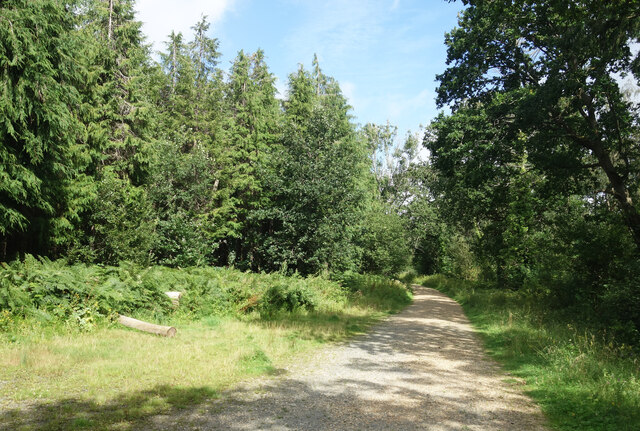
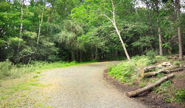
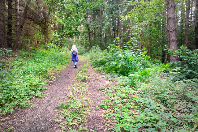
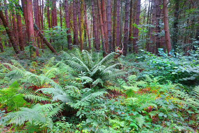
The copse is characterized by its dense canopy of towering oak, beech, and birch trees, which provide a lush and verdant environment. The forest floor is carpeted with an array of wildflowers, ferns, and mosses, creating a vibrant and diverse ecosystem. Ashlake Copse is also home to various species of birds, such as woodpeckers, owls, and thrushes, which can be heard singing melodiously throughout the day.
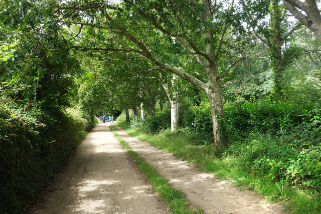
Visitors to Ashlake Copse can enjoy leisurely walks along the well-maintained footpaths that wind through the woods, offering breathtaking views of the surrounding countryside. The copse is particularly popular during the spring when the forest floor becomes a vibrant tapestry of bluebells and other wildflowers.
In addition to its natural beauty, Ashlake Copse also boasts a rich cultural history. It is believed to have been part of an ancient forest that covered much of the region during the medieval period. Remnants of old boundary walls and ditches can still be seen, adding to the copse's charm and intrigue.
Overall, Ashlake Copse is a captivating woodland retreat that offers visitors an opportunity to immerse themselves in nature, explore its diverse flora and fauna, and experience the tranquility of the Hampshire countryside.
If you have any feedback on the listing, please let us know in the comments section below.
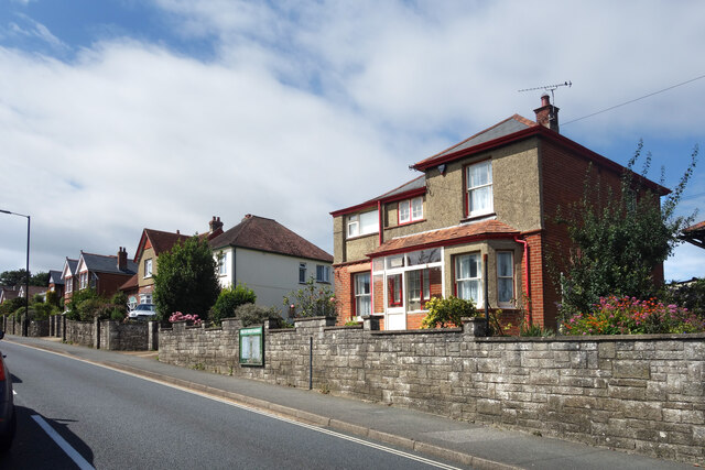
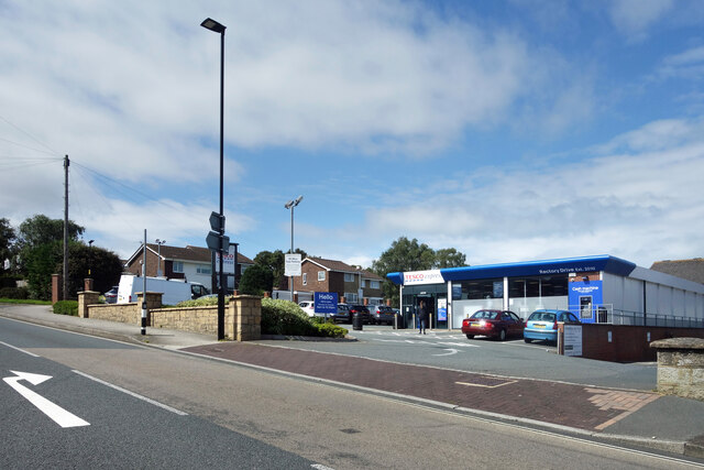
Ashlake Copse Images
Images are sourced within 2km of 50.730193/-1.2187205 or Grid Reference SZ5592. Thanks to Geograph Open Source API. All images are credited.
Ashlake Copse is located at Grid Ref: SZ5592 (Lat: 50.730193, Lng: -1.2187205)
Unitary Authority: Isle of Wight
Police Authority: Hampshire
What 3 Words
///postings.lifestyle.into. Near Wootton, Isle of Wight
Nearby Locations
Related Wikis
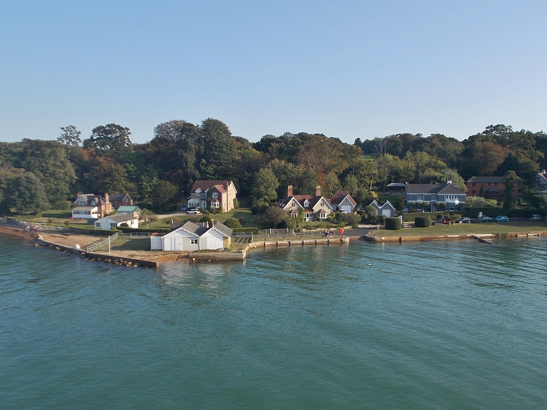
Fishbourne, Isle of Wight
Fishbourne is a village between Wootton and Ryde, on the Isle of Wight. The name "Fishbourne" might mean "stream of fish" or "fish spring."It is positioned...

Isle of Wight Festival 1969
The 1969 Isle of Wight Festival was held on 29–31 August 1969 at Wootton Creek, on the Isle of Wight. The festival attracted an audience of approximately...

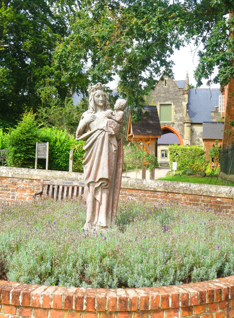
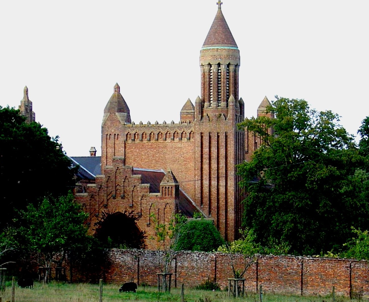
Quarr Abbey House
The Quarr Abbey House was one of several houses constructed along the north coast of the Isle of Wight in southern England. Built in the 19th century from...
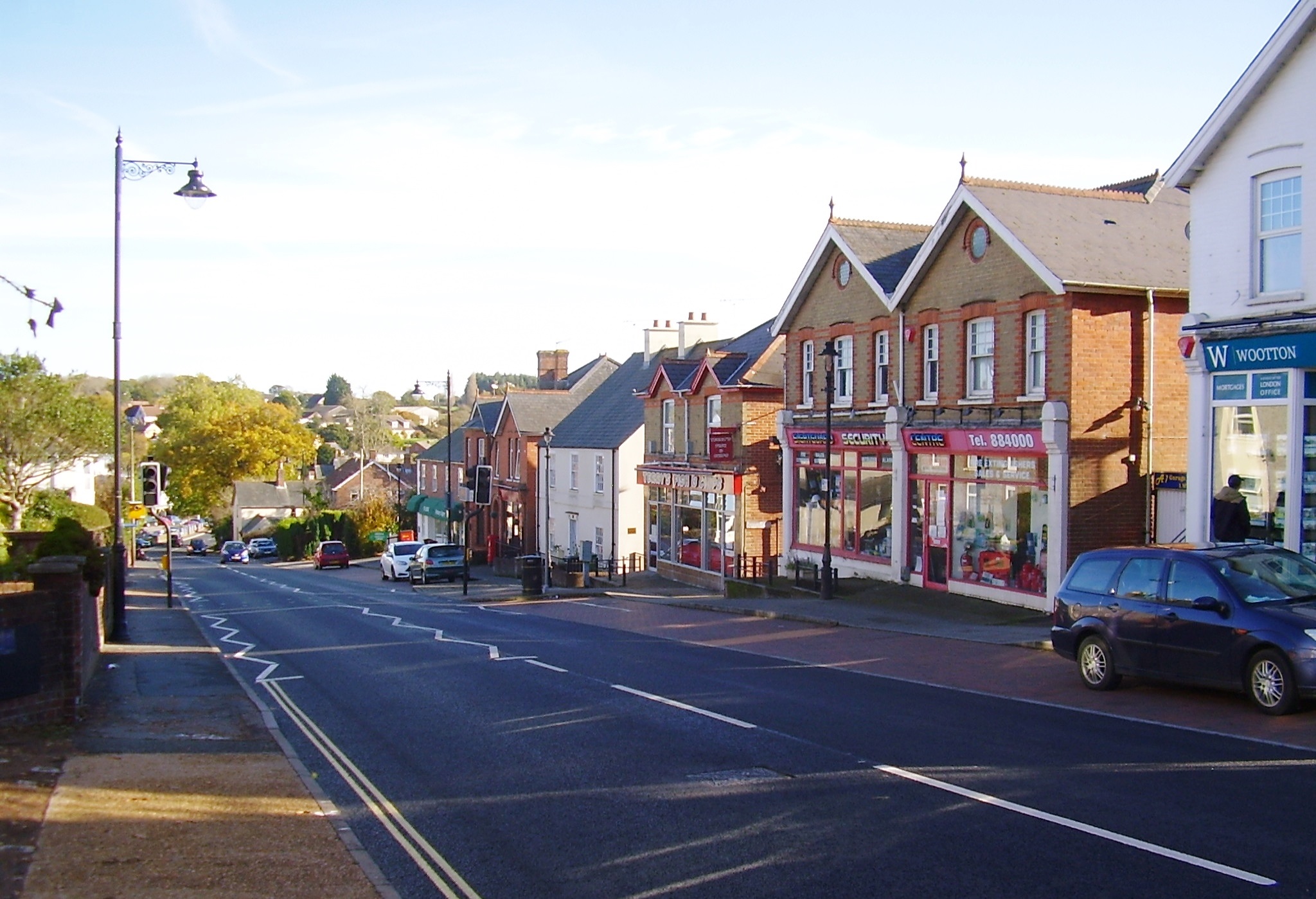
Wootton Bridge
Wootton Bridge is a large village, civil parish and electoral ward with about 3,000 residents on the Isle of Wight, first recorded around the year 1086...

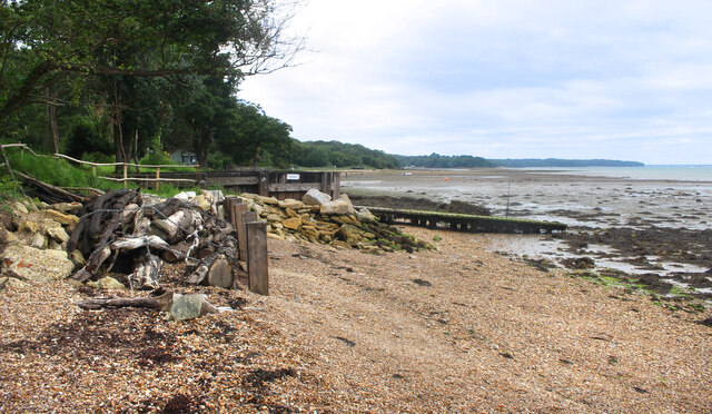
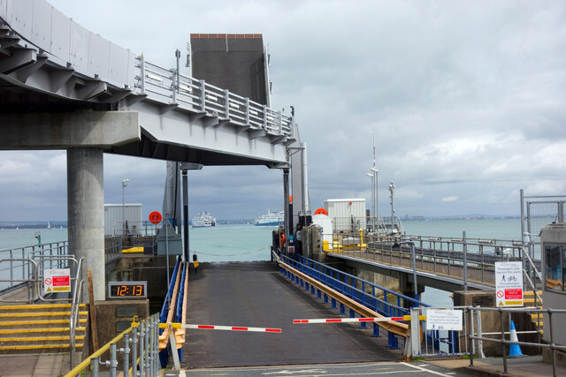
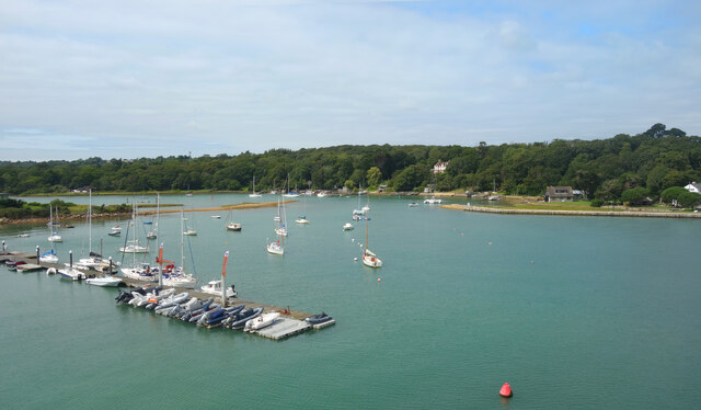
Wootton Creek
Wootton Creek is a tidal estuary that flows into the Solent on the north coast of the Isle of Wight. The estuary has also been known in the past as "Fishbourne...

St Edmund's Church, Wootton
St. Edmund's Church, Wootton is a parish church in the Church of England located in Wootton, Isle of Wight. == History == The church is medieval in origin...
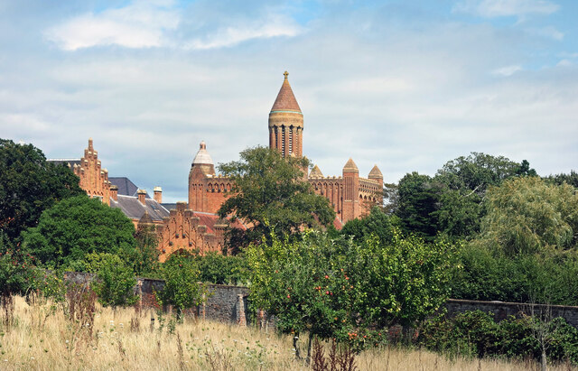
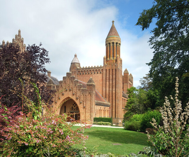
Quarr Abbey
Quarr Abbey (French: Abbaye Notre-Dame de Quarr) is a monastery between the villages of Binstead and Fishbourne on the Isle of Wight in southern England...

St Mark's Church, Wootton
St. Mark's Church, Wootton is a church in the Church of England located in Wootton, Isle of Wight. == History == The church dates from 1909 and was designed...
Nearby Amenities
Located within 500m of 50.730193,-1.2187205Have you been to Ashlake Copse?
Leave your review of Ashlake Copse below (or comments, questions and feedback).