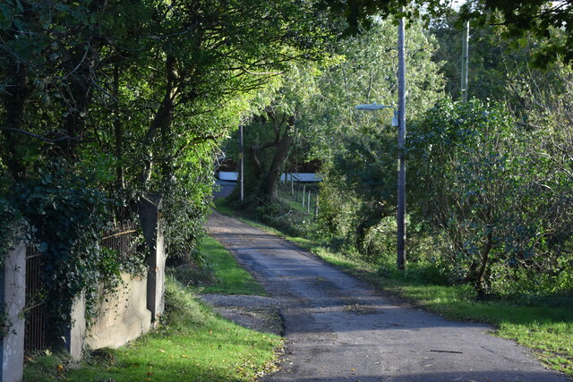
Ashlett Creek

Sea, Estuary, Creek in Hampshire New Forest

England

Ashlett Creek

Fawley : Fawley Oil Refinery From The Solent looking across to the oil refinery.
Fawley : Fawley Oil Refinery Credit: Lewis Clarke

Ashlett Creek is a picturesque waterway located in Hampshire, England. It is situated on the shores of the Solent, a strait separating the Isle of Wight from the mainland. This estuary and creek system is known for its tranquil beauty and diverse wildlife.

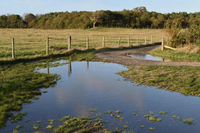
The creek is approximately 1.5 miles long and is formed by the convergence of several small streams. It winds its way through marshland and mudflats, creating a unique habitat for numerous species of birds, fish, and plants. The surrounding area is rich in salt marshes, creating a haven for wading birds, such as redshanks, curlews, and oystercatchers.

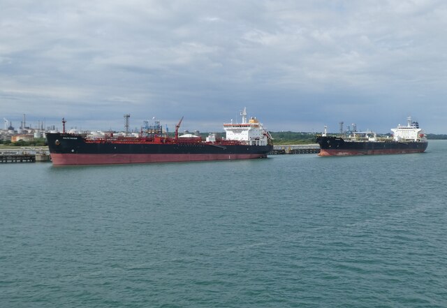
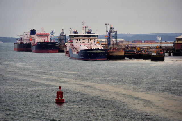
The creek is also a popular destination for boating enthusiasts. Its calm waters and easy access to the Solent make it an ideal spot for sailing, kayaking, and paddleboarding. There are several boatyards and marinas along its banks, providing services and facilities to cater to the boating community.

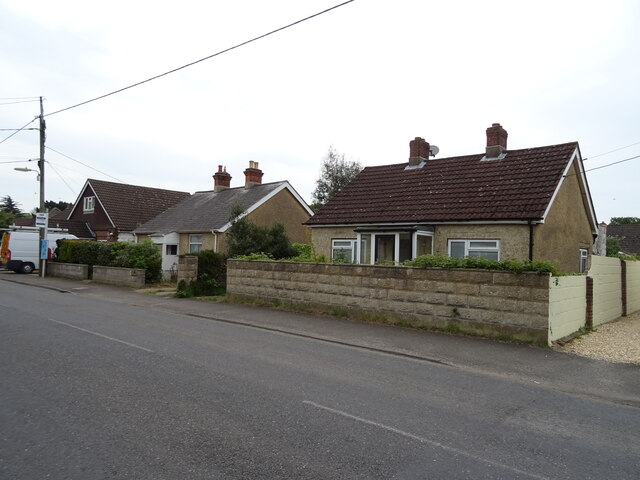
Ashlett Creek is also home to a small but vibrant community. The area boasts a number of quaint cottages and houses, offering residents and visitors a peaceful retreat. There is a charming pub located on the creek's edge, providing a perfect spot to enjoy a drink or a meal while taking in the serene surroundings.

Overall, Ashlett Creek is a hidden gem in Hampshire, offering a tranquil escape from the hustle and bustle of everyday life. Its idyllic setting, diverse wildlife, and recreational opportunities make it a popular destination for nature lovers and water enthusiasts alike.

If you have any feedback on the listing, please let us know in the comments section below.

Ashlett Creek Images

Images are sourced within 2km of 50.828432/-1.3367774 or Grid Reference SU4603. Thanks to Geograph Open Source API. All images are credited.

Fawley : Fawley Oil Refinery From The Solent looking across to the oil refinery.
Fawley : Fawley Oil Refinery
From The Solent looking across to the oil refinery.
Chapel Lane, Fawley
Chapel Lane, Fawley
Flooded track junction south of Fawley village
The Jubilee Hall, Fawley
New Forest School, Fawley
Tanker 'Leon Zeus' berthing at Fawley It was turning before coming alongside the jetty. There were two tugs on the other side, revealed when it has turned more.
Tanker 'Leon Zeus' berthing at Fawley
It was turning before coming alongside the jetty. There were two tugs on the other side, revealed when it has turned more.
'Torill Knutsen' at Fawley Marine Terminal
Tankers at Fawley Marine Terminal
View towards Fawley Oil Refinery
Oil Tankers at Fawley Marine terminal Southampton Water is a tidal estuary north of the Solent and the Isle of Wight. Geographically, it is classified as a ria, or drowned valley, of the English Channel. It was formed by the rivers Test, Itchen and Hamble which flow into it, and became an inlet of the sea at the end of the last ice age when sea levels rose, flooding many valleys in the south of England.

The city of Southampton lies at the most northerly point of Southampton Water. Its emergence as a major port, and particularly as a port handling very large vessels, depended partly on certain geographical features of Southampton Water. Its depth, even in its undeveloped state, was generous; this depth of water has been increased over the years with comparative ease since the soft silt of the river-bed allows for easy dredging. An additional factor is the phenomenon of the "double tide", which results in unusually prolonged periods of high water. This greatly facilitates the movements of very large ships.

Together with the Solent, Southampton Water is world-renowned for yachting. 

<span class="nowrap"><a title="https://en.wikipedia.org/wiki/Southampton_Water" rel="nofollow ugc noopener" href="https://en.wikipedia.org/wiki/Southampton_Water">Link</a><img style="margin-left:2px;" alt="External link" title="External link - shift click to open in new window" src="https://s1.geograph.org.uk/img/external.png" width="10" height="10"/></span>  Wikipedia
Oil Tankers at Fawley Marine terminal
Southampton Water is a tidal estuary north of the Solent and the Isle of Wight. Geographically, it is classified as a ria, or drowned valley, of the English Channel. It was formed by the rivers Test, Itchen and Hamble which flow into it, and became an inlet of the sea at the end of the last ice age when sea levels rose, flooding many valleys in the south of England. The city of Southampton lies at the most northerly point of Southampton Water. Its emergence as a major port, and particularly as a port handling very large vessels, depended partly on certain geographical features of Southampton Water. Its depth, even in its undeveloped state, was generous; this depth of water has been increased over the years with comparative ease since the soft silt of the river-bed allows for easy dredging. An additional factor is the phenomenon of the "double tide", which results in unusually prolonged periods of high water. This greatly facilitates the movements of very large ships. Together with the Solent, Southampton Water is world-renowned for yachting. LinkExternal link Wikipedia
Houses on Blackfield Road
Blackfield Road
Blackfield Road
New Forest School
New Forest School
Fawley Road (B3053)
Fawley Road (B3053)
Church Lane
Church Lane
B3053 towards Holbury
Elizabeth II postbox on  Blackfield Road, Fawley  Postbox No. SO45 357.
Elizabeth II postbox on Blackfield Road, Fawley
Postbox No. SO45 357.
Fawley Marine Terminal Tankers berthed at Fawley Marine Terminal.  The disused Fawley Power Station chimney can be seen on the horizon.
Fawley Marine Terminal
Tankers berthed at Fawley Marine Terminal. The disused Fawley Power Station chimney can be seen on the horizon.
Show me another place!

Ashlett Creek is located at Grid Ref: SU4603 (Lat: 50.828432, Lng: -1.3367774)

Administrative County: Hampshire

District: New Forest

Police Authority: Hampshire

What 3 Words

///with.chicken.menswear. Near Hamble-le-Rice, Hampshire

Related Wikis

Ashlett

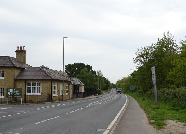
Ashlett is a small settlement in Hampshire, England. It is in the civil parish of Fawley. It is at the end of Ashlett Creek, a tidal inlet of Southampton...
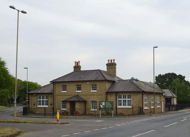
Fawley, Hampshire

Fawley is a village and civil parish in Hampshire, England. It is situated in the New Forest on the western shore of the Solent, approximately 7 miles...

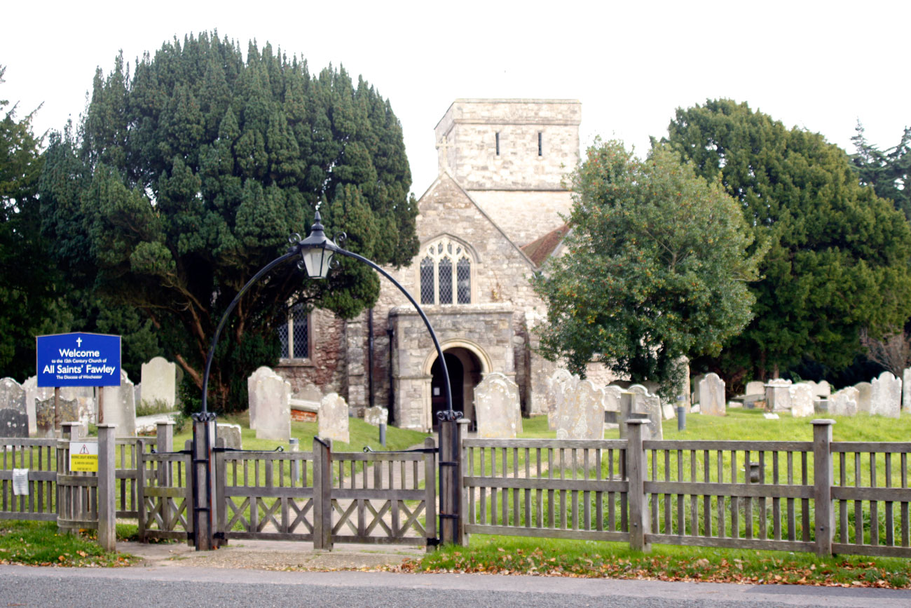
All Saints' Church, Fawley

All Saints' Church is the parish church for Fawley in the county of Hampshire. It is one of the three original medieval parish churches along the area...

Fawley railway station

Fawley railway station was the terminus of the Totton, Hythe and Fawley Light Railway, which was built along the coast of Southampton Water to connect...

Fawley Power Station

Fawley Power Station was an oil-fired power station located on the western side of Southampton Water, between the villages of Fawley and Calshot in Hampshire...

Fawley Tunnel

Fawley Tunnel, or Fawley transmission tunnel, is a 3-metre (9.8 ft) diameter, 2-mile (3.2 km) long tunnel under Southampton Water between Fawley Power...

Calshot Marshes

Calshot Marshes is a 51.1-hectare (126-acre) Local Nature Reserve near Calshot, at the junction of The Solent and Southampton Water in Hampshire. It is...
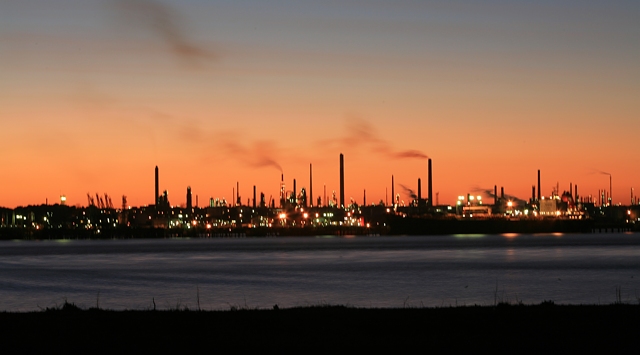
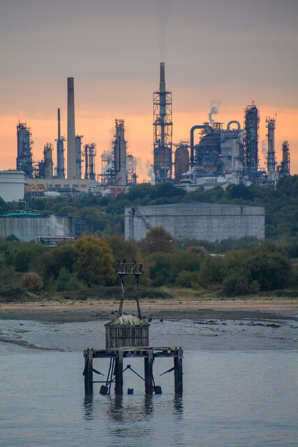
Fawley Refinery

Fawley Refinery is an oil refinery located at Fawley, Hampshire, England. The refinery is owned by Esso Petroleum Company Limited, a subsidiary of Exxon...

Nearby Amenities

Located within 500m of 50.828432,-1.3367774
Source: PGS
Lat/Long: 50.8274324/-1.3401069
Source: PGS
Lat/Long: 50.8277908/-1.3404807
Source: PGS
Lat/Long: 50.8297893/-1.3418694
Source: PGS
Lat/Long: 50.8300038/-1.3420826
Source: PGS
Lat/Long: 50.8303184/-1.341697
Source: PGS
Lat/Long: 50.829568/-1.340679
Source: PGS
Lat/Long: 50.8294675/-1.340596
Source: PGS
Lat/Long: 50.8294555/-1.3402129
Source: PGS
Lat/Long: 50.8289606/-1.3394844
Source: PGS
Lat/Long: 50.82869/-1.3392609
Source: PGS
Lat/Long: 50.8282915/-1.3388232
Source: PGS
Lat/Long: 50.8285068/-1.3387256
Source: PGS
Lat/Long: 50.8289546/-1.3385378
Source: PGS
Lat/Long: 50.8293469/-1.3382106
Source: PGS
Lat/Long: 50.8295683/-1.3382712
Source: PGS
Lat/Long: 50.8298203/-1.3385314
Source: PGS
Lat/Long: 50.8300372/-1.3387031
Source: PGS
Lat/Long: 50.8303516/-1.3389091
Source: PGS
Lat/Long: 50.8310021/-1.3392181
Source: PGS
Lat/Long: 50.831691/-1.339651
Source: PGS
Lat/Long: 50.8321914/-1.3403966
Ashlett Hard
Leisure: slipway
Lat/Long: 50.8270716/-1.3392985
Barrier: cycle_barrier
Lat/Long: 50.8272236/-1.335998
Ashlett Creek Sailing Club
Leisure: marina
Seamark Harbour Category: marina
Seamark Type: harbour
Lat/Long: 50.8272786/-1.3380194
Ashlett
Place: hamlet
Wikidata: Q4805331
Wikipedia: en:Ashlett
Lat/Long: 50.826689/-1.3400934
Seamark Beacon Special Purpose Colour: yellow
Seamark Beacon Special Purpose Shape: stake
Seamark Topmark Colour: yellow
Seamark Topmark Shape: x-shape
Seamark Type: beacon_special_purpose
Lat/Long: 50.8276931/-1.3298276
Information: guidepost
Material: wood
Tourism: information
Lat/Long: 50.8256222/-1.3379853
Defibrillator
Defibrillator Location: Outside on side of building near toilets
Emergency: defibrillator
Indoor: no
Note: Code lock, call 999 for access
Ref GB The Circuit: C734B239-0380-4831-A3EB-AEE900BEDFD1
Lat/Long: 50.8276446/-1.3370296
The data included in this document is from www.openstreetmap.org. The data is made available under ODbL.

Have you been to Ashlett Creek?

Leave your review of Ashlett Creek below (or comments, questions and feedback).