Bard Sound
Sea, Estuary, Creek in Shetland
Scotland
Bard Sound
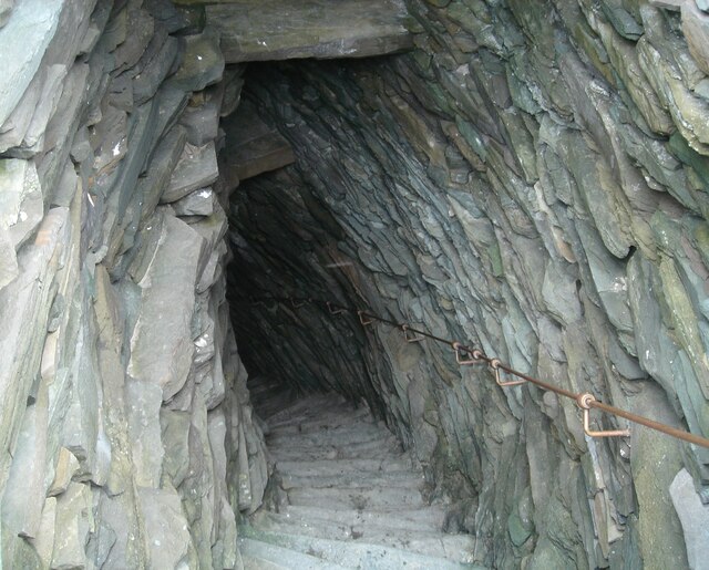
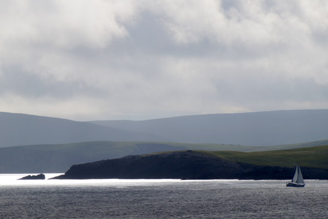
Bard Sound is a picturesque body of water located in the Shetland Islands, Scotland. It is an estuary that connects the North Sea to the Atlantic Ocean, and it stretches between the islands of Unst and Yell. The sound is characterized by its stunning natural beauty, with rugged cliffs, small islands, and crystal-clear waters.
The sound is known for its strong tidal currents, which can reach up to 8 knots during peak times. These currents create a dynamic and ever-changing environment, making it a popular spot for water sports enthusiasts and sailors. The area is also frequented by a variety of marine life, including seals, dolphins, and a wide range of seabirds.
Bard Sound offers a diverse range of activities for visitors to enjoy. Fishing is a popular pastime in the area, with the sound being home to a rich variety of fish species, including cod, haddock, and mackerel. The sound also provides excellent opportunities for kayaking and canoeing, allowing visitors to explore the stunning coastline and hidden coves.
The sound is easily accessible by boat, with several harbors and marinas located nearby. The nearby village of Belmont provides amenities and services for visitors, including accommodation, restaurants, and shops. Bard Sound is a haven for nature lovers and outdoor enthusiasts, offering a unique and breathtaking experience in the heart of the Shetland Islands.
If you have any feedback on the listing, please let us know in the comments section below.
Bard Sound Images
Images are sourced within 2km of 59.995476/-1.1575688 or Grid Reference HU4723. Thanks to Geograph Open Source API. All images are credited.


Bard Sound is located at Grid Ref: HU4723 (Lat: 59.995476, Lng: -1.1575688)
Unitary Authority: Shetland Islands
Police Authority: Highlands and Islands
What 3 Words
///snuggled.airfields.baroness. Near Sandwick, Shetland Islands
Nearby Locations
Related Wikis

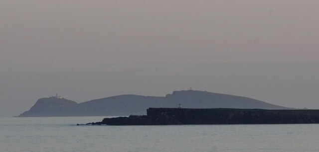
Peerie Bard
Perie Bard is one of the Shetland Islands. It is a small islet off the east coast of the island of Mousa.Although named 'Perie Bard' on OS Maps, the name...

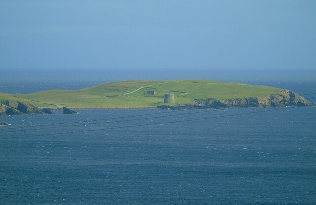
Mousa
Mousa (Old Norse: Mosey "moss island") is a small island in Shetland, Scotland, uninhabited since the nineteenth century. The island is known for the...

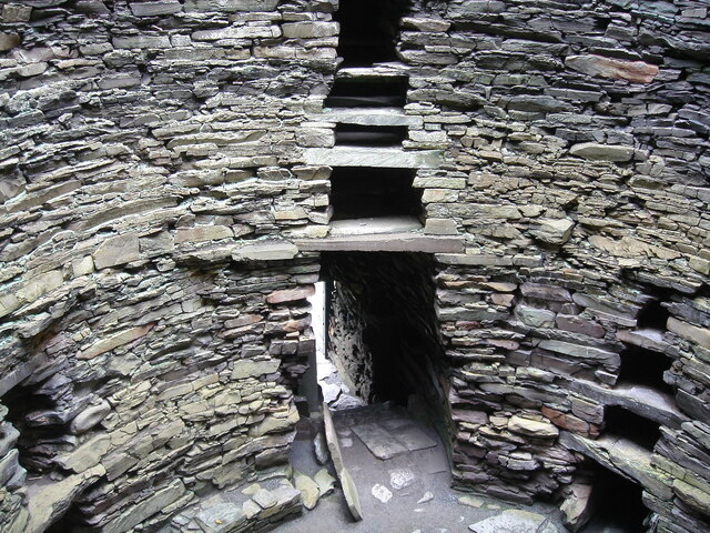
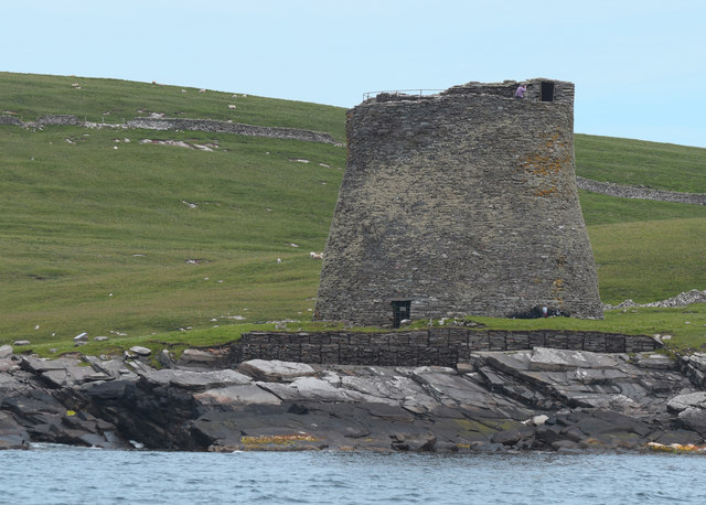
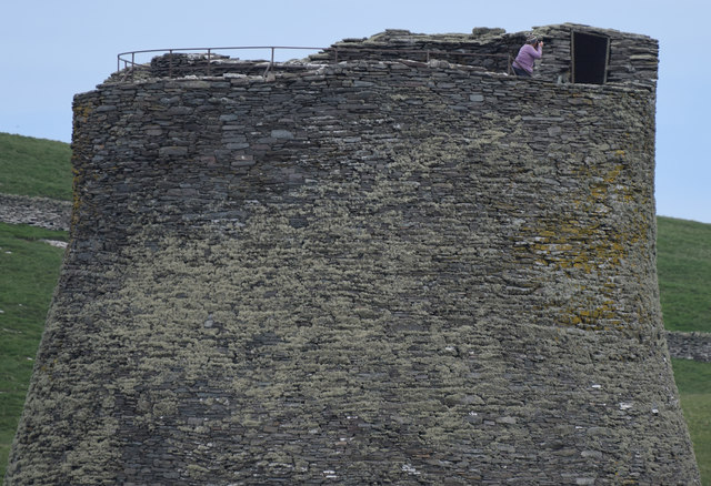
Broch of Mousa
Broch of Mousa (or Mousa Broch) is a preserved Iron Age broch or round tower. It is on the island of Mousa in Shetland, Scotland. It is the tallest broch...

Sandwick, Dunrossness
see also Sandwick, Whalsay and Sandwick, OrkneySandwick (Old Norse: Sandvik "Sandy Bay") is a village and an ancient parish in the Shetland Islands, Scotland...
Nearby Amenities
Located within 500m of 59.995476,-1.1575688Have you been to Bard Sound?
Leave your review of Bard Sound below (or comments, questions and feedback).