Lower West Lake
Sea, Estuary, Creek in Hampshire New Forest
England
Lower West Lake
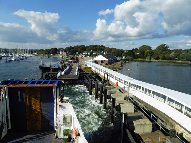
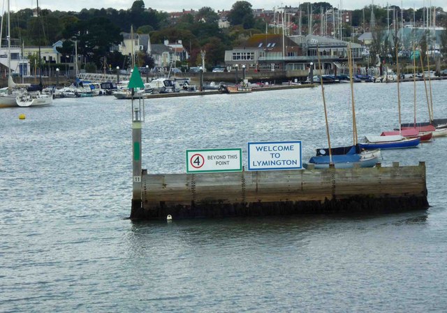
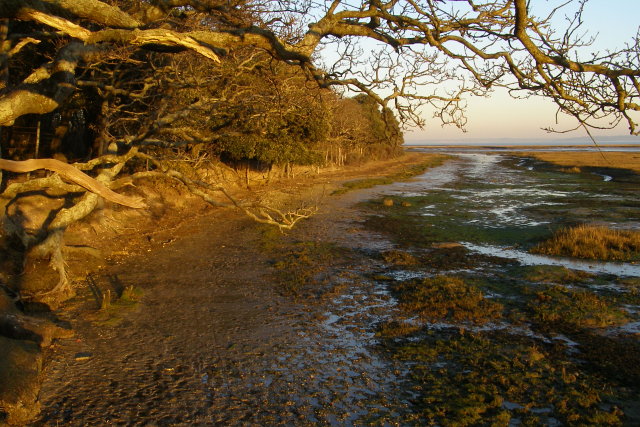
Lower West Lake is a picturesque water body located in Hampshire, England. It is a unique combination of a sea, estuary, and creek, making it a diverse and ecologically rich area.
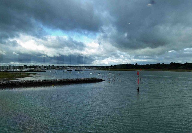
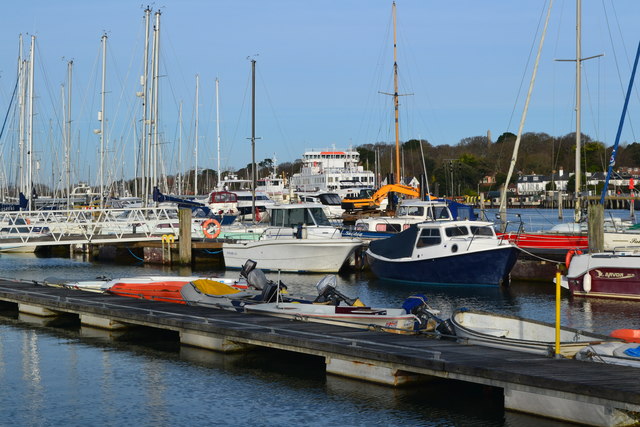
As a sea, Lower West Lake offers stunning views of the coastline and vast expanses of water. Its deep blue color and crashing waves contribute to its natural beauty. The sea component of Lower West Lake is home to a variety of marine life, including fish, crustaceans, and sea birds.
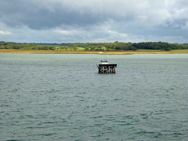
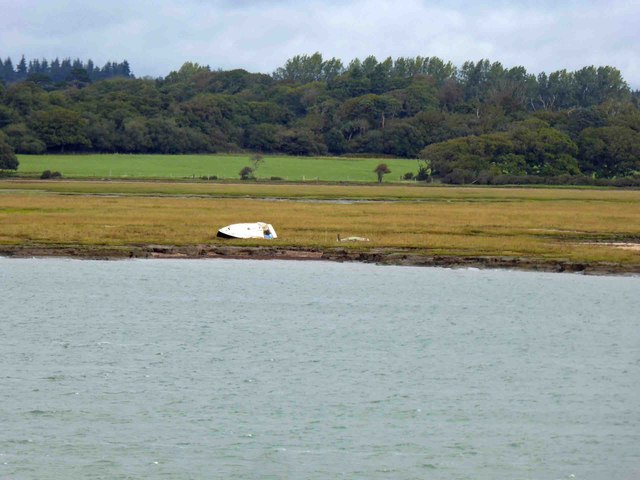
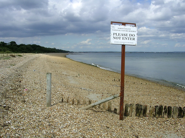
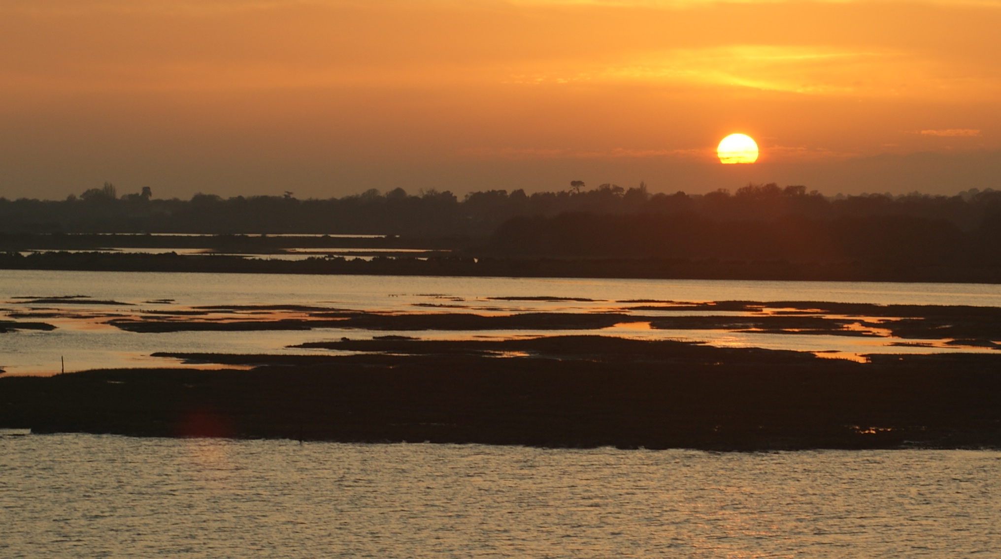
The estuary aspect of Lower West Lake is characterized by the meeting point of a river and the sea. This creates a brackish water environment, where freshwater and saltwater mix. The estuary is an essential habitat for many species, including migratory birds and various fish species that rely on the estuary for breeding and feeding.
A creek winds its way through Lower West Lake, providing a tranquil and serene atmosphere. The creek is surrounded by lush vegetation, creating an idyllic setting for nature enthusiasts and photographers. It offers a peaceful retreat away from the bustling urban areas.
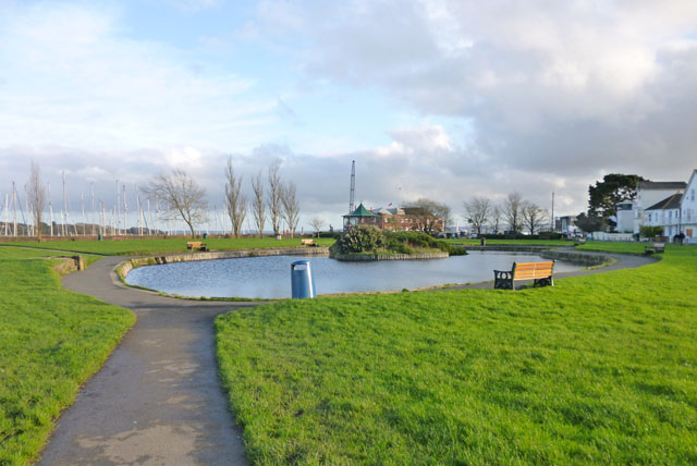
Lower West Lake is not only a sight to behold but also a crucial ecological zone. It supports a diverse range of flora and fauna, including wetland plants, sea grasses, and numerous bird species. The area is also a popular spot for recreational activities such as boating, fishing, and bird-watching.
Overall, Lower West Lake in Hampshire offers a unique blend of sea, estuary, and creek, making it a must-visit destination for nature lovers and those seeking a tranquil escape.
If you have any feedback on the listing, please let us know in the comments section below.
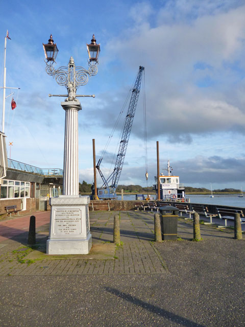
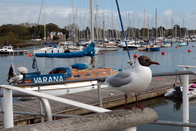
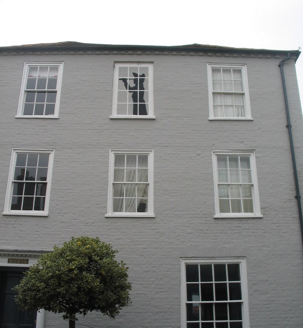
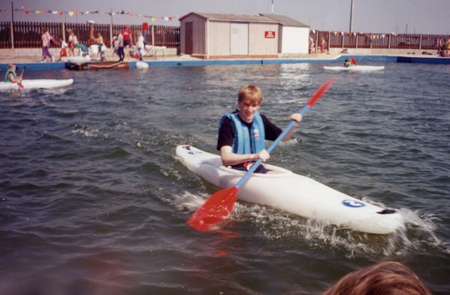
Lower West Lake Images
Images are sourced within 2km of 50.74353/-1.5198298 or Grid Reference SZ3393. Thanks to Geograph Open Source API. All images are credited.


Lower West Lake is located at Grid Ref: SZ3393 (Lat: 50.74353, Lng: -1.5198298)
Administrative County: Hampshire
District: New Forest
Police Authority: Hampshire
What 3 Words
///jolt.maple.sling. Near Lymington, Hampshire
Nearby Locations
Related Wikis

Lymington River
The Lymington River drains part of the New Forest in Hampshire in southern England. Numerous headwaters to the west of Lyndhurst give rise to the river...

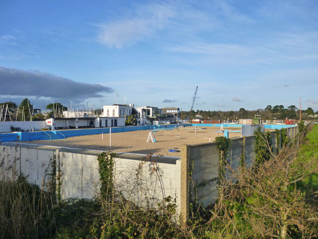
Lymington Open Air Sea Water Baths
The Lymington Open Air Sea Water Baths (or "historic Roman Seawater Baths") is a lifeguarded open air lido in Lymington, Hampshire, England. Built in 1833...
North Solent
North Solent is a 1,186.7-hectare (2,932-acre) biological and geological Site of Special Scientific Interest along the north bank of the Solent between...
Hurst Castle and Lymington River Estuary
Hurst Castle and Lymington River Estuary is a 1,077.3-hectare (2,662-acre) biological and geological Site of Special Scientific Interest near Lymington...

Lymington Pier railway station
Lymington Pier railway station serves the harbour area of Lymington in Hampshire, England. It is 98 miles 15 chains (158.0 km) measured from London Waterloo...
Boldre Foreshore
Boldre Foreshore is a 193.3-hectare (478-acre) Local Nature Reserve east of Lymington in Hampshire. It is owned by New Forest District Council and managed...

Lymington power station
Lymington power station supplied electricity to the town of Lymington, Hampshire and the surrounding area from 1899 to 1959. The electricity generating...

Walhampton
Walhampton is a hamlet in the New Forest National Park of Hampshire, England. It is in the civil parish of Boldre. It is approximately half a mile east...
Nearby Amenities
Located within 500m of 50.74353,-1.5198298Have you been to Lower West Lake?
Leave your review of Lower West Lake below (or comments, questions and feedback).