Narrow Mark
Sea, Estuary, Creek in Hampshire New Forest
England
Narrow Mark
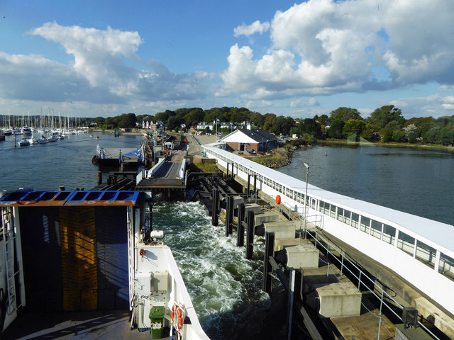
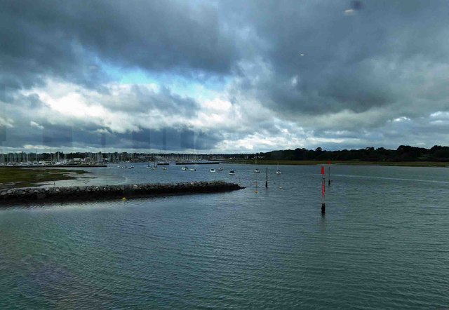
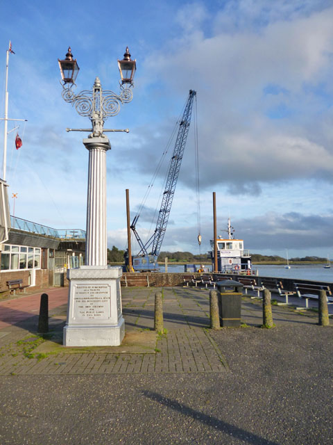
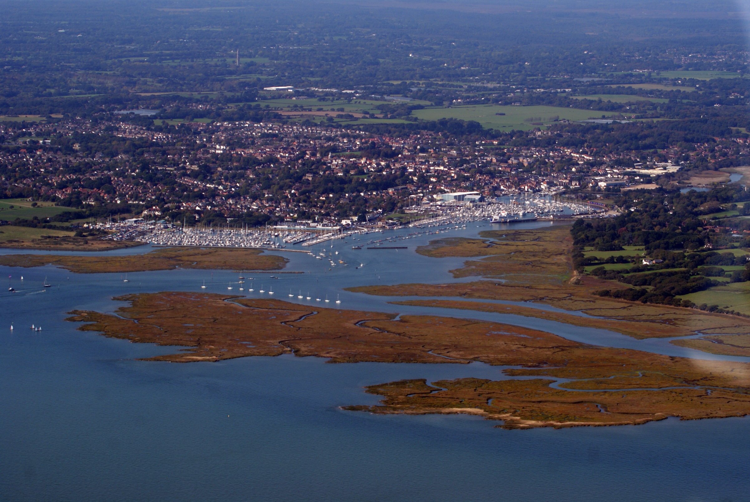
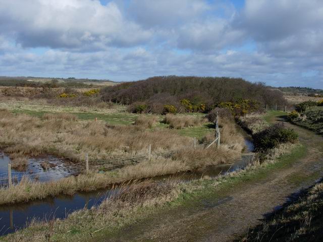
Narrow Mark is a small coastal area located in Hampshire, England. Situated along the southern coast of the country, it is bordered by the sea, estuary, and creek, making it a unique and diverse environment.
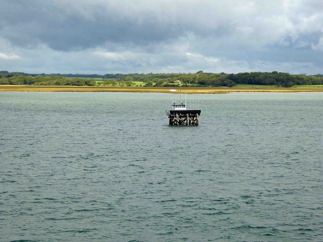
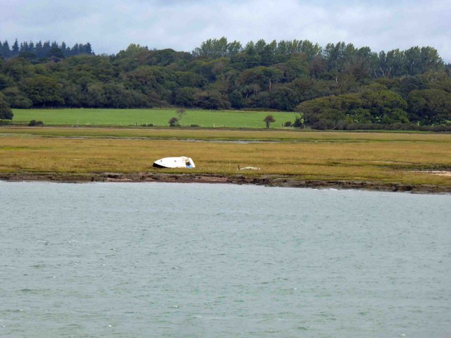
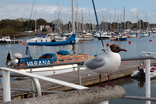
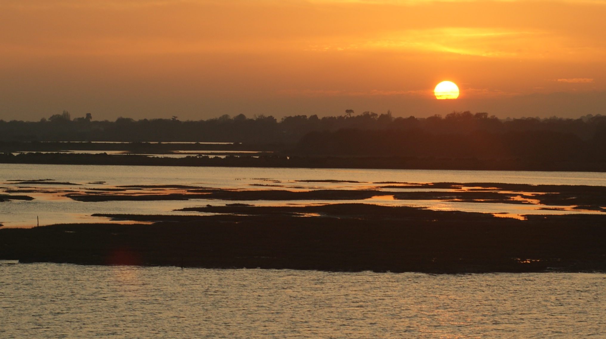
The area is primarily known for its stunning coastal views and picturesque landscapes. The sea provides a beautiful backdrop, with its sparkling blue waters and crashing waves. The estuary, formed by the convergence of rivers and the sea, offers a tranquil setting with its calm waters and abundant wildlife. Visitors can often spot various bird species, such as egrets and herons, as they nest and feed along the estuary's banks.
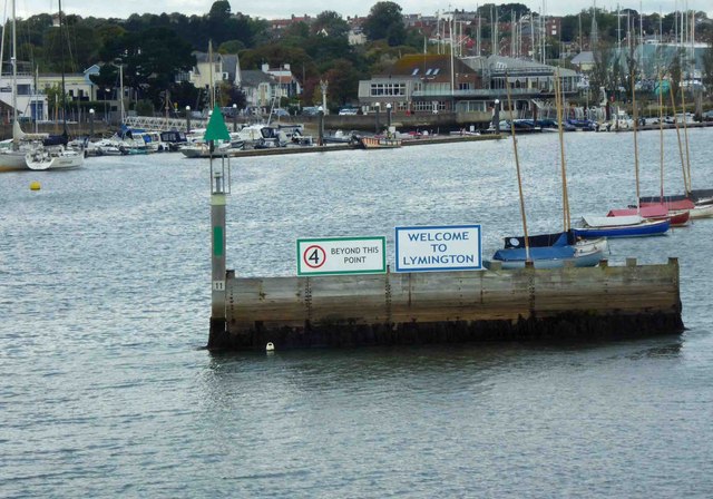
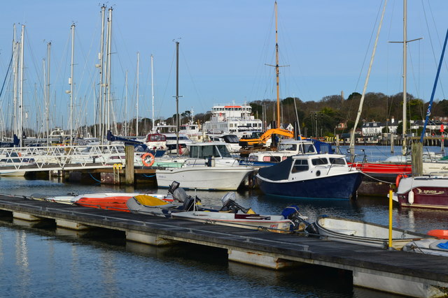
Narrow Mark is also home to a meandering creek, which adds further charm to the area. The creek is a small, narrow waterway that winds its way through the landscape, creating a serene and peaceful atmosphere. It is a popular spot for kayaking and boating enthusiasts, who can explore the creek's twists and turns while enjoying the surrounding natural beauty.
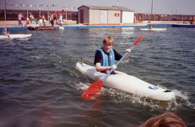
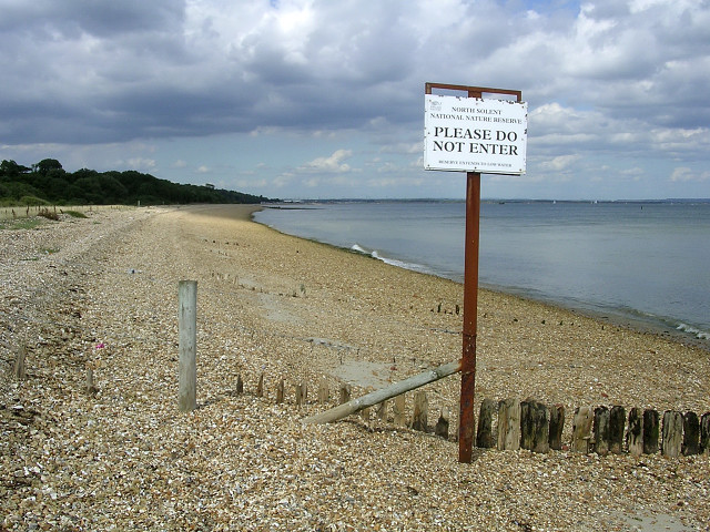
The area offers numerous activities for visitors to enjoy. Nature lovers can take leisurely walks along the coastal trails, observing the diverse flora and fauna. The sandy beaches are perfect for sunbathing, picnicking, or simply enjoying a day by the sea. Fishing is also a popular pastime in Narrow Mark, with both experienced anglers and beginners trying their luck in the waters.
Overall, Narrow Mark is a captivating coastal area in Hampshire, boasting a unique combination of sea, estuary, and creek. Its natural beauty, diverse wildlife, and range of activities make it a must-visit destination for those seeking a peaceful and scenic coastal experience.
If you have any feedback on the listing, please let us know in the comments section below.
Narrow Mark Images
Images are sourced within 2km of 50.741356/-1.5247697 or Grid Reference SZ3393. Thanks to Geograph Open Source API. All images are credited.


Narrow Mark is located at Grid Ref: SZ3393 (Lat: 50.741356, Lng: -1.5247697)
Administrative County: Hampshire
District: New Forest
Police Authority: Hampshire
What 3 Words
///privately.creamed.unearthly. Near Lymington, Hampshire
Nearby Locations
Related Wikis
North Solent
North Solent is a 1,186.7-hectare (2,932-acre) biological and geological Site of Special Scientific Interest along the north bank of the Solent between...
Hurst Castle and Lymington River Estuary
Hurst Castle and Lymington River Estuary is a 1,077.3-hectare (2,662-acre) biological and geological Site of Special Scientific Interest near Lymington...

Lymington River
The Lymington River drains part of the New Forest in Hampshire in southern England. Numerous headwaters to the west of Lyndhurst give rise to the river...

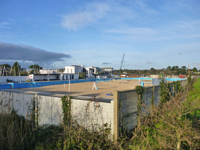
Lymington Open Air Sea Water Baths
The Lymington Open Air Sea Water Baths (or "historic Roman Seawater Baths") is a lifeguarded open air lido in Lymington, Hampshire, England. Built in 1833...

Lymington Pier railway station
Lymington Pier railway station serves the harbour area of Lymington in Hampshire, England. It is 98 miles 15 chains (158.0 km) measured from London Waterloo...

Lymington power station
Lymington power station supplied electricity to the town of Lymington, Hampshire and the surrounding area from 1899 to 1959. The electricity generating...
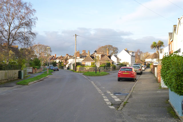
Lymington
Lymington is a port town on the west bank of the Lymington River on the Solent, in the New Forest district of Hampshire, England. The town faces Yarmouth...
Lymington and Keyhaven Marshes
Lymington and Keyhaven Marshes is a 738-hectare (1,820-acre) nature reserve which stretches from Keyhaven along the south coast across the Lymington River...
Nearby Amenities
Located within 500m of 50.741356,-1.5247697Have you been to Narrow Mark?
Leave your review of Narrow Mark below (or comments, questions and feedback).