Oxey Lake
Sea, Estuary, Creek in Hampshire New Forest
England
Oxey Lake
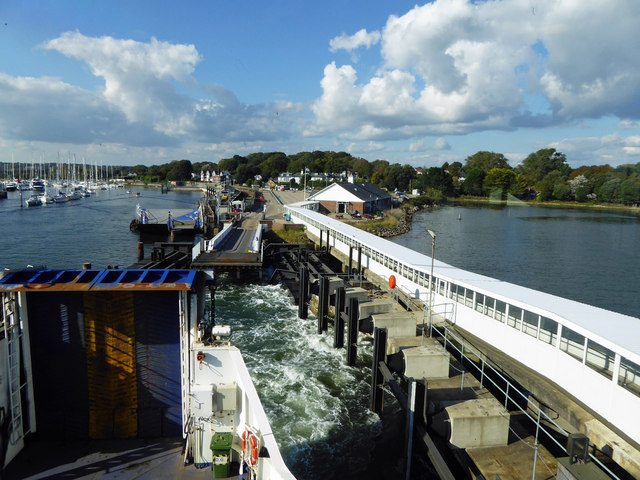
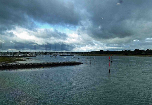
Oxey Lake is a small body of water located in Hampshire, England. It is classified as an estuary due to its connection to the sea, and it is also referred to as a creek. The lake is situated along the southern coast of Hampshire, near the village of Oxey.
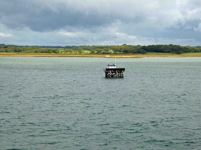
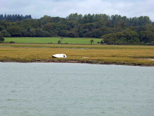
With a total area of approximately 1 square kilometer, Oxey Lake serves as an important habitat for various species of flora and fauna. The lake is surrounded by marshland, which provides a rich and diverse ecosystem. It is common to find reeds, rushes, and other wetland plants along the shoreline.
The lake is primarily fed by a small creek that flows into it from nearby hills and marshes. During high tide, the creek acts as a channel for seawater to flow into the lake, creating a brackish environment. This unique mix of freshwater and saltwater supports a variety of marine life, including fish, crabs, and various species of water birds.
Oxey Lake is also a popular spot for recreational activities such as fishing, boating, and birdwatching. Fishing enthusiasts can find a range of fish species in the lake, including sea trout, flounder, and eels. Birdwatchers can observe a variety of waterfowl, waders, and other migratory birds that visit the lake throughout the year.
Overall, Oxey Lake is a picturesque estuary and creek in Hampshire, offering a diverse range of wildlife and recreational opportunities for visitors to enjoy.
If you have any feedback on the listing, please let us know in the comments section below.
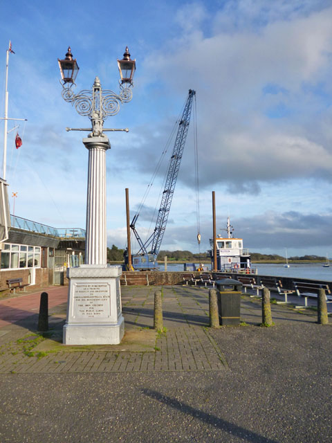
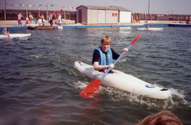
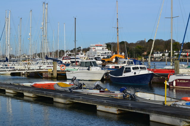
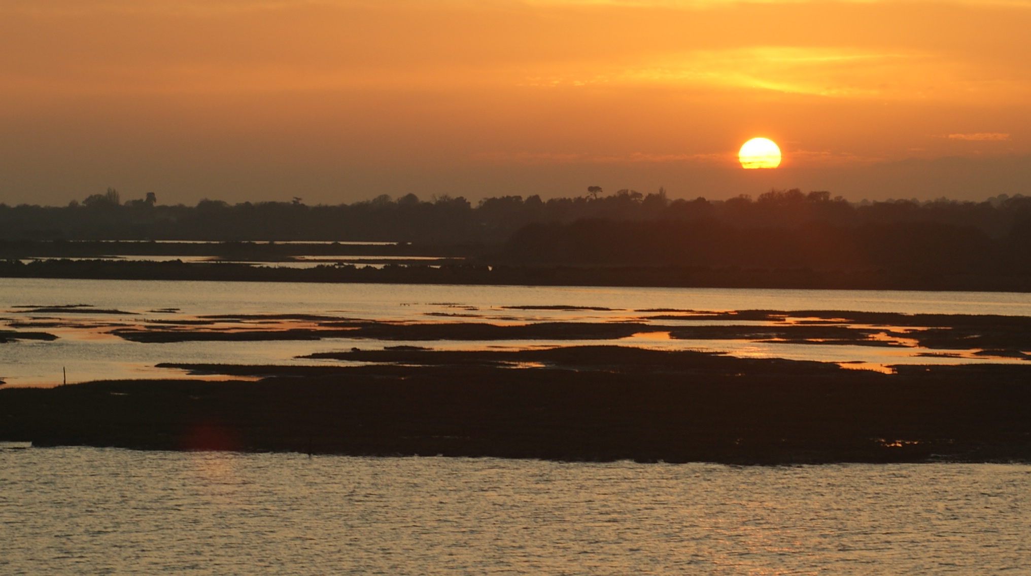
Oxey Lake Images
Images are sourced within 2km of 50.739649/-1.5298038 or Grid Reference SZ3393. Thanks to Geograph Open Source API. All images are credited.


Oxey Lake is located at Grid Ref: SZ3393 (Lat: 50.739649, Lng: -1.5298038)
Administrative County: Hampshire
District: New Forest
Police Authority: Hampshire
What 3 Words
///summit.boating.sapping. Near Lymington, Hampshire
Nearby Locations
Related Wikis
Hurst Castle and Lymington River Estuary
Hurst Castle and Lymington River Estuary is a 1,077.3-hectare (2,662-acre) biological and geological Site of Special Scientific Interest near Lymington...
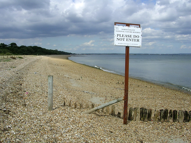
North Solent
North Solent is a 1,186.7-hectare (2,932-acre) biological and geological Site of Special Scientific Interest along the north bank of the Solent between...

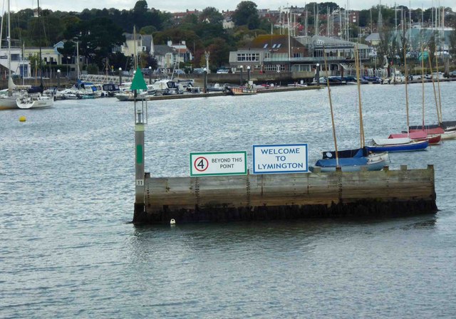
Lymington River
The Lymington River drains part of the New Forest in Hampshire in southern England. Numerous headwaters to the west of Lyndhurst give rise to the river...

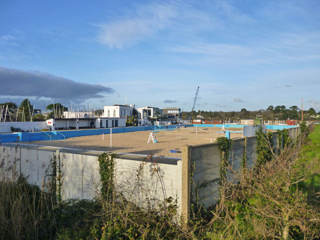
Lymington Open Air Sea Water Baths
The Lymington Open Air Sea Water Baths (or "historic Roman Seawater Baths") is a lifeguarded open air lido in Lymington, Hampshire, England. Built in 1833...
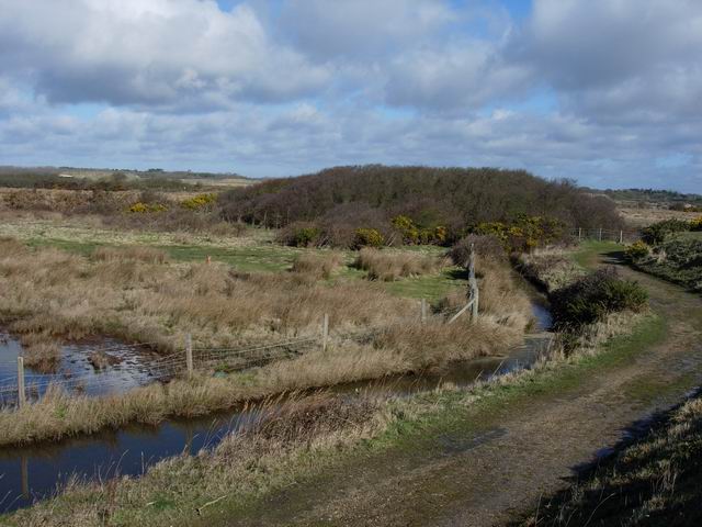
Lymington and Keyhaven Marshes
Lymington and Keyhaven Marshes is a 738-hectare (1,820-acre) nature reserve which stretches from Keyhaven along the south coast across the Lymington River...
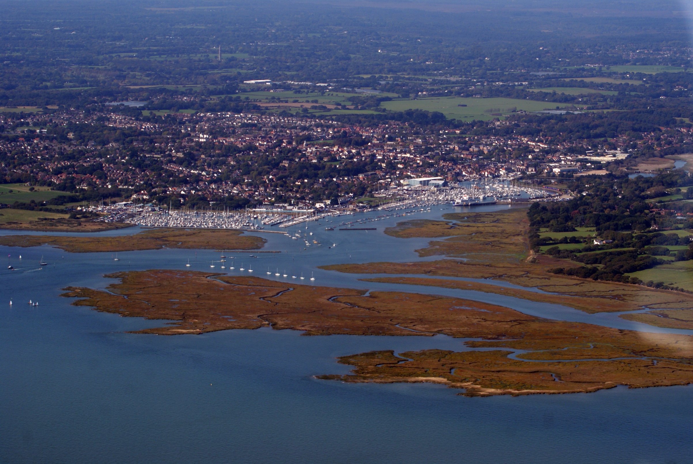
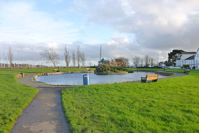
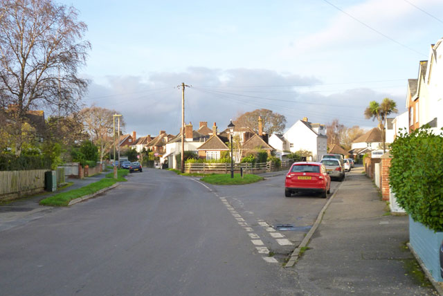
Lymington
Lymington is a port town on the west bank of the Lymington River on the Solent, in the New Forest district of Hampshire, England. The town faces Yarmouth...

Lymington power station
Lymington power station supplied electricity to the town of Lymington, Hampshire and the surrounding area from 1899 to 1959. The electricity generating...

Lymington Pier railway station
Lymington Pier railway station serves the harbour area of Lymington in Hampshire, England. It is 98 miles 15 chains (158.0 km) measured from London Waterloo...
Nearby Amenities
Located within 500m of 50.739649,-1.5298038Have you been to Oxey Lake?
Leave your review of Oxey Lake below (or comments, questions and feedback).