Caolas Loch Portain

Sea, Estuary, Creek in Inverness-shire

Scotland

Caolas Loch Portain

Hamarsaigh From the ferry into Lochmaddy.
Hamarsaigh Credit: Hugh Venables

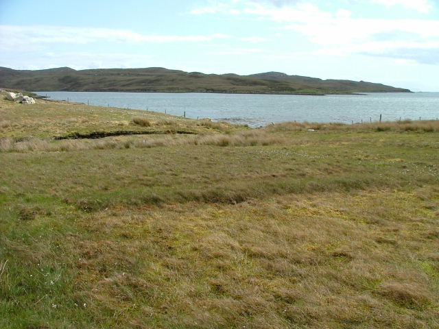
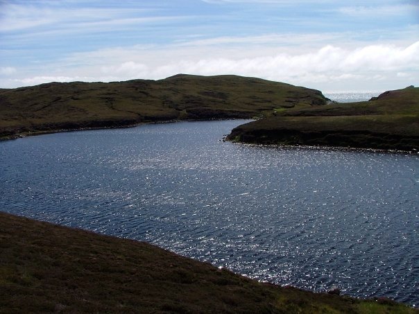
Caolas Loch Portain is a picturesque sea inlet located in the scenic area of Inverness-shire, Scotland. Nestled between rolling hills and surrounded by stunning natural beauty, this estuary and creek offers visitors a peaceful and idyllic setting.

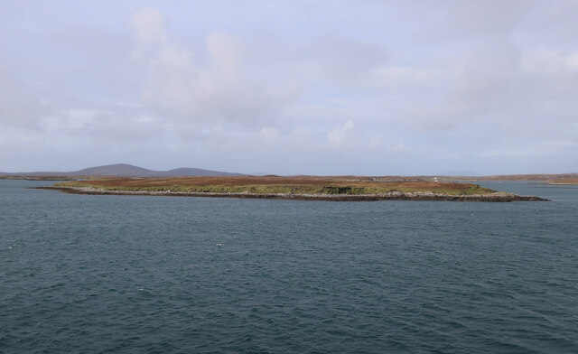
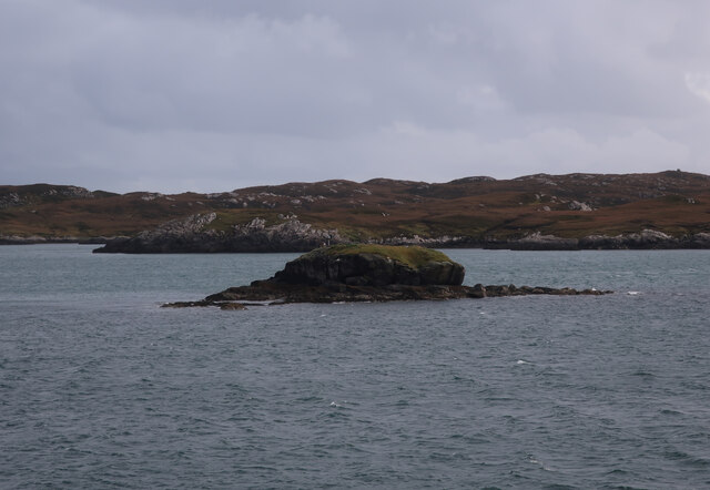
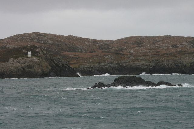
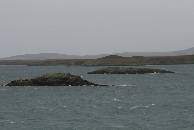
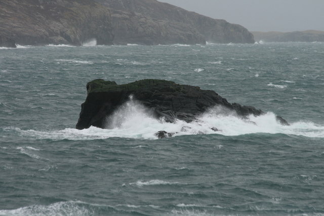
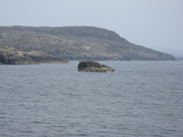
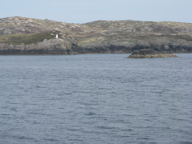
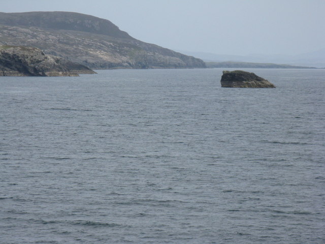
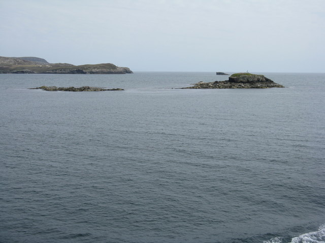
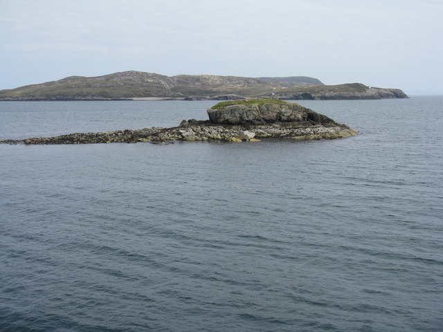
The Caolas Loch Portain is primarily a sea inlet that extends into the land, forming a narrow channel that connects the open sea to a smaller body of water. It is located on the western coast of Inverness-shire and is known for its calm waters and tranquil atmosphere. The inlet is surrounded by rocky cliffs, giving it a dramatic and rugged appearance.

The estuary is home to a diverse range of marine life, making it a popular spot for fishing and wildlife enthusiasts. Visitors can often spot various species of fish, seals, and seabirds in the area. The creek that flows into the estuary is lined with lush vegetation and is a haven for birdwatchers, with a variety of bird species frequenting the area.

Caolas Loch Portain is also a great place for outdoor activities such as kayaking, boating, and hiking. The surrounding hills offer breathtaking views of the sea and the estuary, making it a perfect spot for scenic walks and picnics.

In summary, Caolas Loch Portain is a stunning sea inlet, estuary, and creek located in Inverness-shire, Scotland. With its tranquil waters, diverse marine life, and stunning natural surroundings, it is a must-visit destination for nature lovers and outdoor enthusiasts.

If you have any feedback on the listing, please let us know in the comments section below.

Caolas Loch Portain Images

Images are sourced within 2km of 57.614813/-7.1176826 or Grid Reference NF9469. Thanks to Geograph Open Source API. All images are credited.

Hamarsaigh From the ferry into Lochmaddy.
Hamarsaigh
From the ferry into Lochmaddy.
Glas Eilean Mòr From the ferry into Lochmaddy.
Glas Eilean Mòr
From the ferry into Lochmaddy.
Madadh Beag to the Sou'east of Rubha an Fhigheadair The ferry out of Loch Maddy seems further north from the planned track than normal. There's a strong southerly wind blowing and the Minch looks so exciting.
Madadh Beag to the Sou'east of Rubha an Fhigheadair
The ferry out of Loch Maddy seems further north from the planned track than normal. There's a strong southerly wind blowing and the Minch looks so exciting.
An Glais-eilean Meadhonach Mind your navigation in these waters! Can you imagine sailing into Loch Maddy on foggy days prior to the advent of radar, radio beacons, and sonar?
An Glais-eilean Meadhonach
Mind your navigation in these waters! Can you imagine sailing into Loch Maddy on foggy days prior to the advent of radar, radio beacons, and sonar?
Hunched against a strong southerly - that's Madadh Beag What a sanctuary for fishes these rocks provide! Cast a line near here for the coalfish (Saith or coley) the Pollack (Lythe) and the Wrasse.
Hunched against a strong southerly - that's Madadh Beag
What a sanctuary for fishes these rocks provide! Cast a line near here for the coalfish (Saith or coley) the Pollack (Lythe) and the Wrasse.
Madadh Beag With the rocky slopes of Rubha na h-Aoir beyond. Seen from the ferry for Uig.
Madadh Beag
With the rocky slopes of Rubha na h-Aoir beyond. Seen from the ferry for Uig.
Lighthouse on Rubha an Fhigheadair With Madadh Beag in the near distance.
Lighthouse on Rubha an Fhigheadair
With Madadh Beag in the near distance.
Madadh Beag and Rubha na h-Aoir Looking from the Lochmaddy-Uig ferry.
Madadh Beag and Rubha na h-Aoir
Looking from the Lochmaddy-Uig ferry.
Glas Eilean Mòr Looking northeast from the Lochmaddy-Uig ferry. The lighthouse on Rubha an Fhigheadair is just visible on the headland beyond.
Glas Eilean Mòr
Looking northeast from the Lochmaddy-Uig ferry. The lighthouse on Rubha an Fhigheadair is just visible on the headland beyond.
Glas Eilean Mòr Looking northeast from the Lochmaddy-Uig ferry. Beyond is the headland of Rubha an Fhigheadair
Glas Eilean Mòr
Looking northeast from the Lochmaddy-Uig ferry. Beyond is the headland of Rubha an Fhigheadair
Loch Portain Looking towards Rubha nan Gall.
Loch Portain
Looking towards Rubha nan Gall.
Madadh Beag Skerry lying off Rubha an Fhigheadair.
Madadh Beag
Skerry lying off Rubha an Fhigheadair.
Madadh Beag A small islet, with the light on Rubha an Fhigheadair in the background.
Madadh Beag
A small islet, with the light on Rubha an Fhigheadair in the background.
"Lighthouse Loch" North Uist
Glas Eilean Mòr Despite its name, a very small island at the entrance to Loch nam Madadh. It carries a solar powered navigation beacon.
Glas Eilean Mòr
Despite its name, a very small island at the entrance to Loch nam Madadh. It carries a solar powered navigation beacon.
Hamarsaigh Contrary to the course shown on the OS maps, the Uig to Lochmaddy ferry passes quite close to this island, one of many, in Loch nam Madadh. The hills of the Isle of Harris can be seen in the distance.
Hamarsaigh
Contrary to the course shown on the OS maps, the Uig to Lochmaddy ferry passes quite close to this island, one of many, in Loch nam Madadh. The hills of the Isle of Harris can be seen in the distance.
An Glais-eilean Meadhonach Skerries in the mouth of Loch nam Madadh. The small island of Rodaigh lies beyond; with the north shore of the loch and part of North Uist beyond that.
An Glais-eilean Meadhonach
Skerries in the mouth of Loch nam Madadh. The small island of Rodaigh lies beyond; with the north shore of the loch and part of North Uist beyond that.
Glas Eilean Mòr Contrary to the course shown on OS maps, the Uig to Lochmaddy ferry sometimes passes to the north of this skerry in the mouth of Loch nam Madadh.
Glas Eilean Mòr
Contrary to the course shown on OS maps, the Uig to Lochmaddy ferry sometimes passes to the north of this skerry in the mouth of Loch nam Madadh.
Show me another place!

Caolas Loch Portain is located at Grid Ref: NF9469 (Lat: 57.614813, Lng: -7.1176826)

Unitary Authority: Na h-Eileanan an Iar

Police Authority: Highlands and Islands

What 3 Words

///prime.tribal.acoustics. Near Lochmaddy, Na h-Eileanan Siar

Related Wikis

Weavers Point

Weavers Point (Scottish Gaelic: Rubha an Fhigheadair) is a headland to the north of the entrance to Loch Maddy, on the north eastern coastline of North...

Taigh Chearsabhagh

Taigh Chearsabhagh is an arts centre and museum in Lochmaddy on the island of North Uist, Scotland.Taigh Chearsabhagh was built in 1741 and originally...

Ceallasaigh Beag

Ceallasaigh Beag (or Keallasay Beg) is a low-lying island in Loch Maddy off North Uist in the Outer Hebrides of Scotland. This an area of shallow lagoons...

Lochmaddy

Lochmaddy (Scottish Gaelic: Loch nam Madadh [l̪ˠɔx nə ˈmat̪əɣ], "Loch of the Hounds") is the administrative centre of North Uist in the Outer Hebrides...

Nearby Amenities

Located within 500m of 57.614813,-7.1176826
Caolas Loch Portain
Natural: strait
Lat/Long: 57.6140609/-7.1172524
The data included in this document is from www.openstreetmap.org. The data is made available under ODbL.

Have you been to Caolas Loch Portain?

Leave your review of Caolas Loch Portain below (or comments, questions and feedback).