Flodaigh

Island in Inverness-shire

Scotland

Flodaigh

Hamarsaigh From the ferry into Lochmaddy.
Hamarsaigh Credit: Hugh Venables

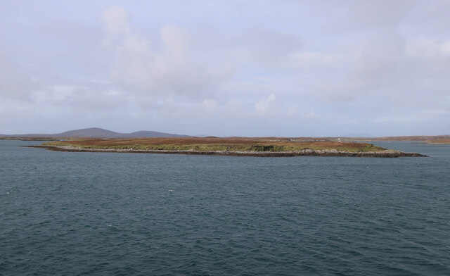
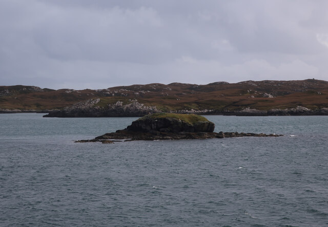
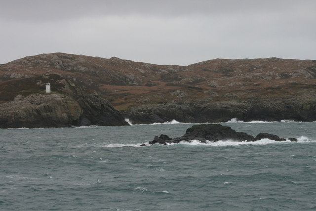
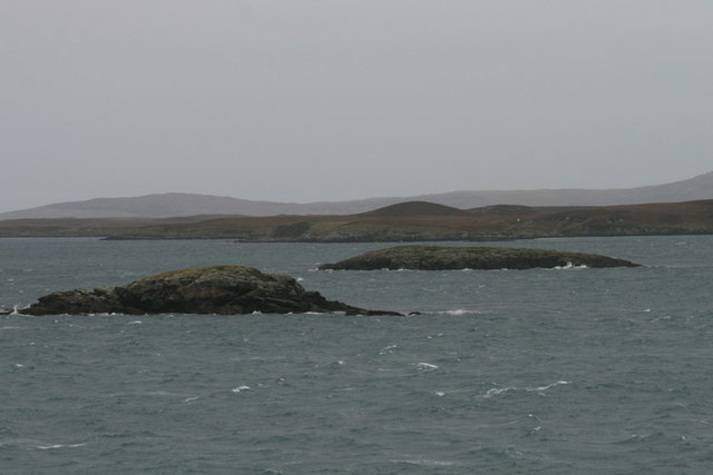
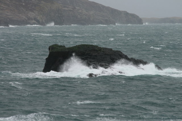
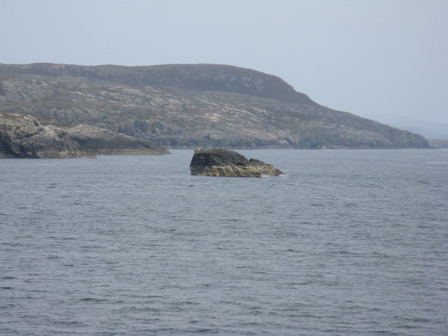
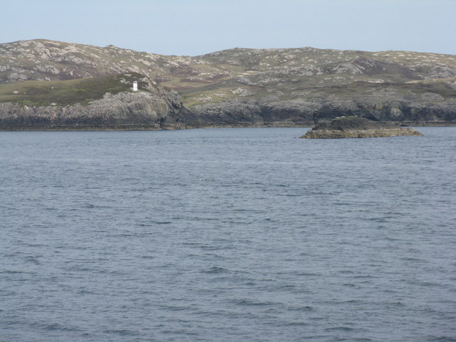
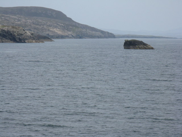
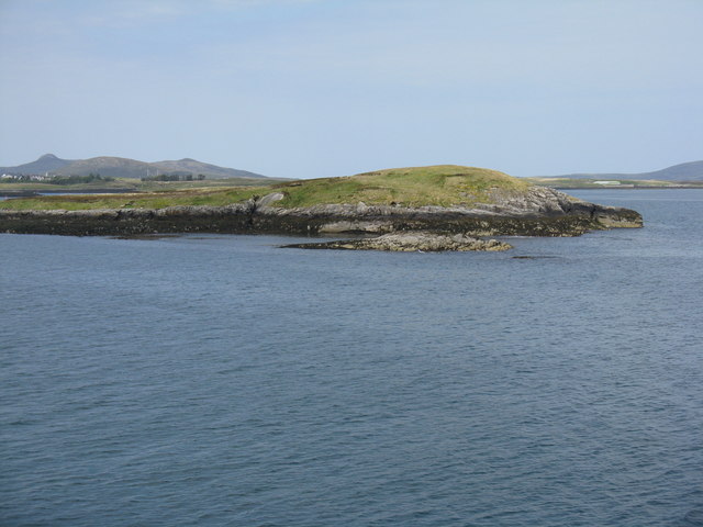
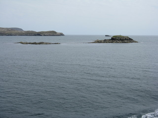
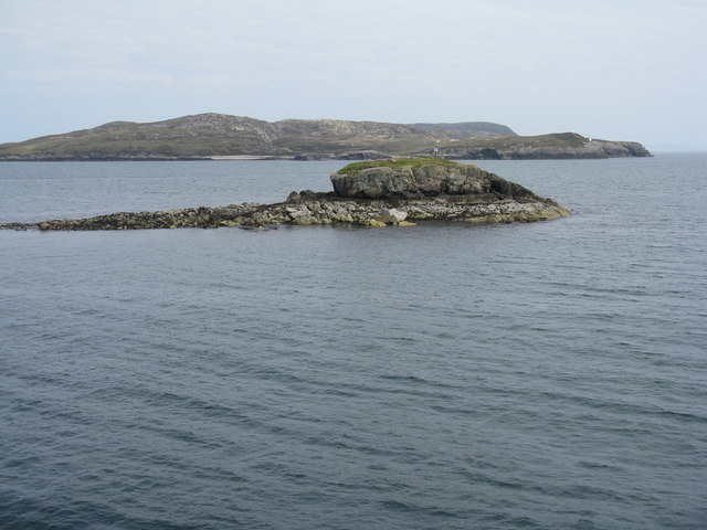
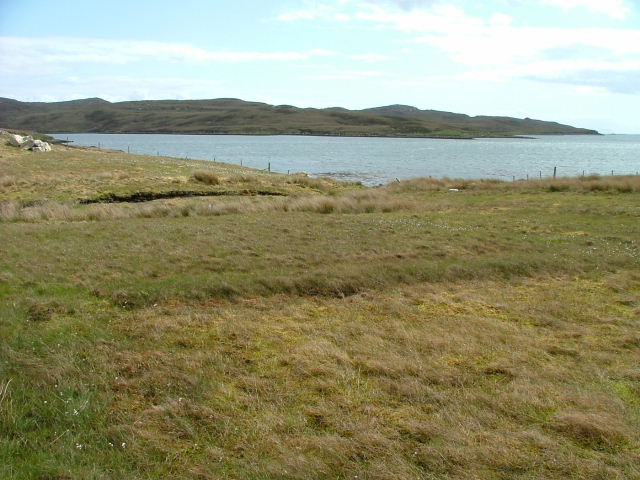
Flodaigh is a small island located in the Outer Hebrides of Scotland, specifically in Inverness-shire. It is situated in the Atlantic Ocean, approximately 40 miles west of the mainland. The island covers an area of around 400 acres and is primarily composed of rugged moorland, rocky cliffs, and sandy beaches.

Flodaigh is known for its breathtaking natural beauty and diverse wildlife. The island is home to a wide variety of bird species, including puffins, guillemots, and razorbills, making it a popular destination for birdwatching enthusiasts. Additionally, the surrounding waters are teeming with marine life, attracting seals, dolphins, and even the occasional whale.

The island is uninhabited, with no permanent residents. However, it has a rich history, with evidence of human occupation dating back thousands of years. Ruins of ancient structures, such as a medieval chapel and a Viking burial ground, can still be found on the island, providing glimpses into its past.

Access to Flodaigh is limited, as there are no regular ferry services to the island. Visitors can reach Flodaigh by private boat or join organized tours that explore the surrounding Hebridean islands. Camping is permitted on the island, allowing visitors to immerse themselves in its untouched beauty and tranquility.

Flodaigh offers a unique opportunity to experience the raw and untamed nature of the Outer Hebrides. Its isolation and rugged landscape make it an ideal destination for nature lovers, photographers, and those seeking a peaceful retreat away from the hustle and bustle of modern life.

If you have any feedback on the listing, please let us know in the comments section below.

Flodaigh Images

Images are sourced within 2km of 57.613082/-7.1241953 or Grid Reference NF9469. Thanks to Geograph Open Source API. All images are credited.

Hamarsaigh From the ferry into Lochmaddy.
Hamarsaigh
From the ferry into Lochmaddy.
Glas Eilean Mòr From the ferry into Lochmaddy.
Glas Eilean Mòr
From the ferry into Lochmaddy.
Madadh Beag to the Sou'east of Rubha an Fhigheadair The ferry out of Loch Maddy seems further north from the planned track than normal. There's a strong southerly wind blowing and the Minch looks so exciting.
Madadh Beag to the Sou'east of Rubha an Fhigheadair
The ferry out of Loch Maddy seems further north from the planned track than normal. There's a strong southerly wind blowing and the Minch looks so exciting.
An Glais-eilean Meadhonach Mind your navigation in these waters! Can you imagine sailing into Loch Maddy on foggy days prior to the advent of radar, radio beacons, and sonar?
An Glais-eilean Meadhonach
Mind your navigation in these waters! Can you imagine sailing into Loch Maddy on foggy days prior to the advent of radar, radio beacons, and sonar?
Hunched against a strong southerly - that's Madadh Beag What a sanctuary for fishes these rocks provide! Cast a line near here for the coalfish (Saith or coley) the Pollack (Lythe) and the Wrasse.
Hunched against a strong southerly - that's Madadh Beag
What a sanctuary for fishes these rocks provide! Cast a line near here for the coalfish (Saith or coley) the Pollack (Lythe) and the Wrasse.
Madadh Beag With the rocky slopes of Rubha na h-Aoir beyond. Seen from the ferry for Uig.
Madadh Beag
With the rocky slopes of Rubha na h-Aoir beyond. Seen from the ferry for Uig.
Lighthouse on Rubha an Fhigheadair With Madadh Beag in the near distance.
Lighthouse on Rubha an Fhigheadair
With Madadh Beag in the near distance.
Madadh Beag and Rubha na h-Aoir Looking from the Lochmaddy-Uig ferry.
Madadh Beag and Rubha na h-Aoir
Looking from the Lochmaddy-Uig ferry.
Fathoire - the eastern end A small island in Loch nam Madadh.
Fathoire - the eastern end
A small island in Loch nam Madadh.
Glas Eilean Mòr Looking northeast from the Lochmaddy-Uig ferry. The lighthouse on Rubha an Fhigheadair is just visible on the headland beyond.
Glas Eilean Mòr
Looking northeast from the Lochmaddy-Uig ferry. The lighthouse on Rubha an Fhigheadair is just visible on the headland beyond.
Glas Eilean Mòr Looking northeast from the Lochmaddy-Uig ferry. Beyond is the headland of Rubha an Fhigheadair
Glas Eilean Mòr
Looking northeast from the Lochmaddy-Uig ferry. Beyond is the headland of Rubha an Fhigheadair
Loch Maddy The english Loch Maddy is Loch nam Madadh is Gaelic and is a good harbour in a storm as a friend attests when sailing many years ago a force 9 gale blew up and they sheltered here for three days.
Loch Maddy
The english Loch Maddy is Loch nam Madadh is Gaelic and is a good harbour in a storm as a friend attests when sailing many years ago a force 9 gale blew up and they sheltered here for three days.
Boats & Boathouse, Lochmaddy, North Uist Mist rising in Lochmaddy harbour, North Uist.
Boats & Boathouse, Lochmaddy, North Uist
Mist rising in Lochmaddy harbour, North Uist.
Footbridge leading to Sponais House Early morning view of footbridge to the north of Lochmaddy.
Footbridge leading to Sponais House
Early morning view of footbridge to the north of Lochmaddy.
Looking over the bay to the mouth of Loch Nam Madadh
Looking back inland with Lochmaddy Outdoor Centre just visible on the left.
Loch Portain Looking towards Rubha nan Gall.
Loch Portain
Looking towards Rubha nan Gall.
Madadh Beag Skerry lying off Rubha an Fhigheadair.
Madadh Beag
Skerry lying off Rubha an Fhigheadair.
Show me another place!

Flodaigh is located at Grid Ref: NF9469 (Lat: 57.613082, Lng: -7.1241953)

Unitary Authority: Na h-Eileanan an Iar

Police Authority: Highlands and Islands

What 3 Words

///yelled.across.compiled. Near Lochmaddy, Na h-Eileanan Siar

Related Wikis

Weavers Point

Weavers Point (Scottish Gaelic: Rubha an Fhigheadair) is a headland to the north of the entrance to Loch Maddy, on the north eastern coastline of North...

Taigh Chearsabhagh

Taigh Chearsabhagh is an arts centre and museum in Lochmaddy on the island of North Uist, Scotland.Taigh Chearsabhagh was built in 1741 and originally...

Lochmaddy

Lochmaddy (Scottish Gaelic: Loch nam Madadh [l̪ˠɔx nə ˈmat̪əɣ], "Loch of the Hounds") is the administrative centre of North Uist in the Outer Hebrides...

Ceallasaigh Beag

Ceallasaigh Beag (or Keallasay Beg) is a low-lying island in Loch Maddy off North Uist in the Outer Hebrides of Scotland. This an area of shallow lagoons...

Nearby Amenities

Located within 500m of 57.613082,-7.1241953
Caolas Loch Portain
Natural: strait
Lat/Long: 57.6140609/-7.1172524
The data included in this document is from www.openstreetmap.org. The data is made available under ODbL.

Have you been to Flodaigh?

Leave your review of Flodaigh below (or comments, questions and feedback).