Acle Dike
Sea, Estuary, Creek in Norfolk Broadland
England
Acle Dike
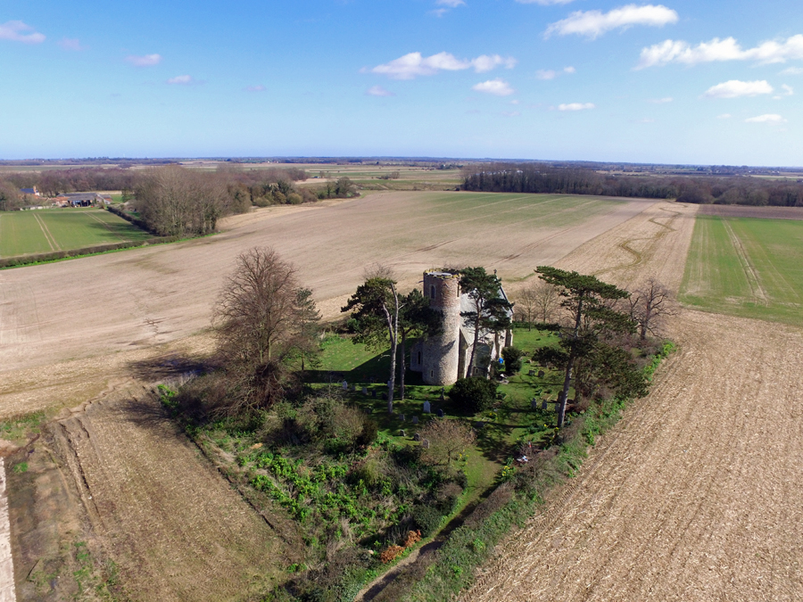
Acle Dike is a prominent waterway located in the county of Norfolk, England. It serves as a crucial link between the River Bure and the River Thurne, making it an essential part of the Norfolk Broads network. The dike's primary purpose is to control water levels in the surrounding area and aid navigation for both recreational boaters and commercial vessels.
Spanning approximately 4 miles, Acle Dike is a man-made channel with a rich history dating back to the 17th century. It was initially constructed to drain the marshes and improve agricultural land in the region. Over time, the dike transformed into a vital transportation route, allowing goods and produce to be transported efficiently.
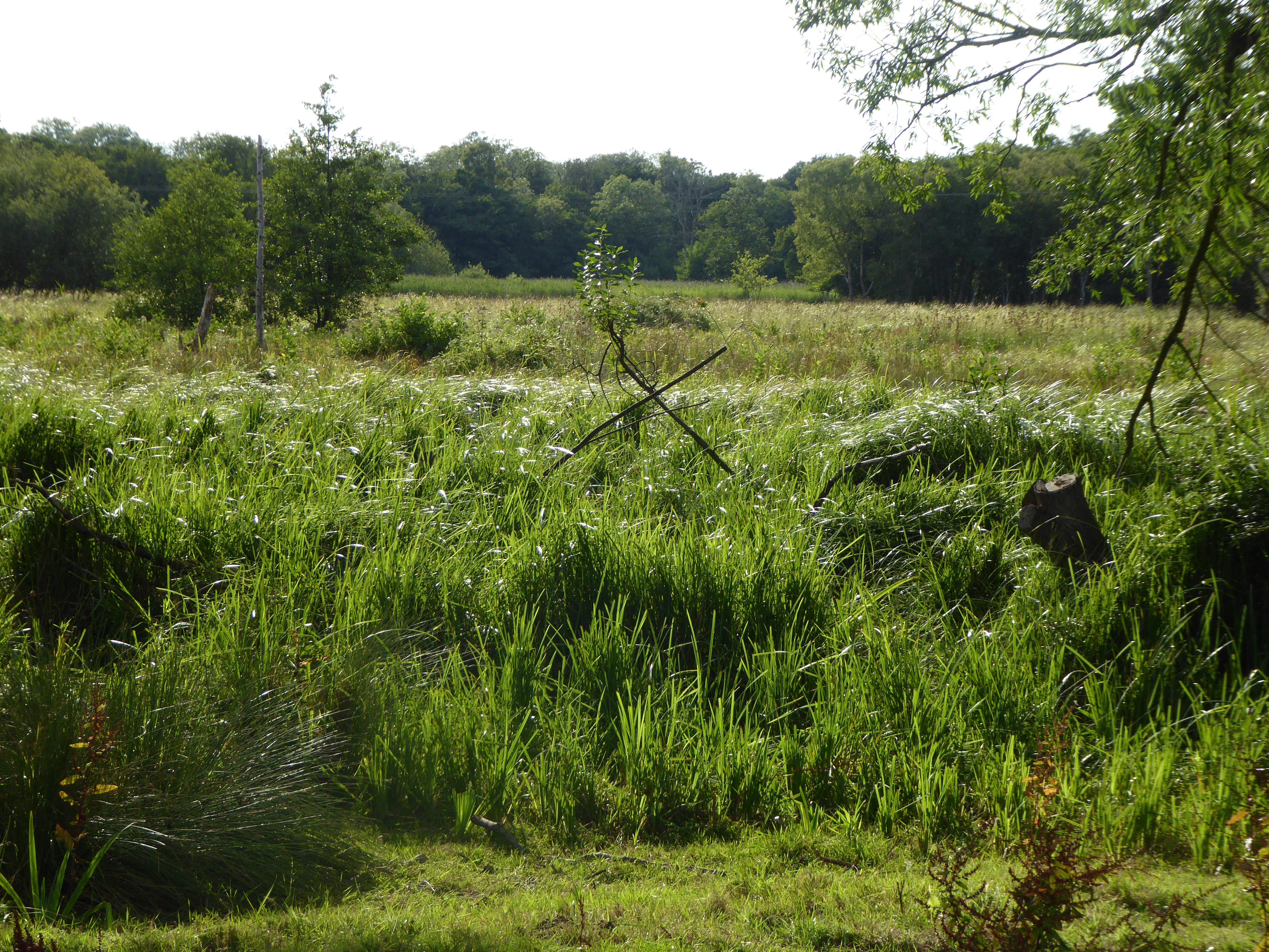
Acle Dike is surrounded by picturesque scenery, with lush meadows, reed beds, and diverse wildlife. The waterway is often frequented by boaters and anglers, drawn to its tranquil setting and abundance of fish species, including pike, bream, roach, and perch.
The dike's strategic location provides access to several charming villages and towns, including the village of Acle itself, which is known for its historic windmill and traditional Norfolk architecture. Boating enthusiasts can explore the nearby River Bure, venturing towards the popular towns of Wroxham and Horning or heading east to reach the scenic beauty of the Norfolk Broads.
Acle Dike is a testament to Norfolk's natural beauty and its significance in facilitating transportation and leisure activities in the region. It remains a cherished waterway for both locals and visitors alike, offering a serene and picturesque experience in the heart of Norfolk.
If you have any feedback on the listing, please let us know in the comments section below.
Acle Dike Images
Images are sourced within 2km of 52.640056/1.5643694 or Grid Reference TG4110. Thanks to Geograph Open Source API. All images are credited.


Acle Dike is located at Grid Ref: TG4110 (Lat: 52.640056, Lng: 1.5643694)
Administrative County: Norfolk
District: Broadland
Police Authority: Norfolk
What 3 Words
///quest.guitar.processor. Near Acle, Norfolk
Nearby Locations
Related Wikis
Acle
Acle ( AY-kəl) is a market town on the River Bure on the Norfolk Broads in Norfolk, located halfway between Norwich and Great Yarmouth. It has the only...

Damgate Marshes, Acle
Damgate Marshes, Acle is a 64.7-hectare (160-acre) biological Site of Special Scientific Interest between Norwich and Great Yarmouth in Norfolk. It is...

Blofield and Flegg Rural District
Blofield and East and West Flegg Rural Districts were adjacent rural districts in Norfolk, England from 1894 to 1935.They were formed under the Local Government...
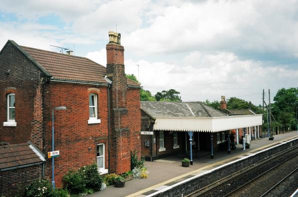
Acle railway station
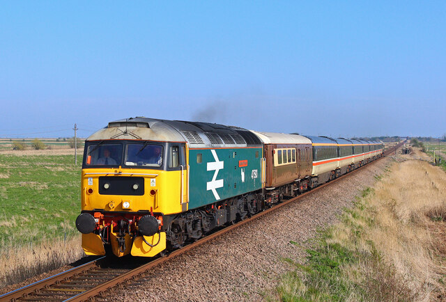
Acle railway station is on the Wherry Lines in the east of England, serving the town of Acle, Norfolk. It is 10 miles 34 chains (16.8 km) down the line...

Acle Academy
The Acle Academy, formerly known as Acle High School, is a secondary school which is located in Acle, Norfolk, England. This is in the centre of the Norfolk...
Fishley
Fishley is a village in the English county of Norfolk, forming part of the civil parish of Upton with Fishley. The village is located 0.5 miles (0.80 km...
Stokesby with Herringby
Stokesby with Herringby is a civil parish in the English county of Norfolk. It comprises the village of Stokesby and the surrounding rural area. It is...
Decoy Carr, Acle
Decoy Carr, Acle is a 56-hectare (140-acre) biological Site of Special Scientific Interest south of Acle in Norfolk. It is part of the Broadland Ramsar...
Nearby Amenities
Located within 500m of 52.640056,1.5643694Have you been to Acle Dike?
Leave your review of Acle Dike below (or comments, questions and feedback).