Church Reach
Sea, Estuary, Creek in Suffolk East Suffolk
England
Church Reach

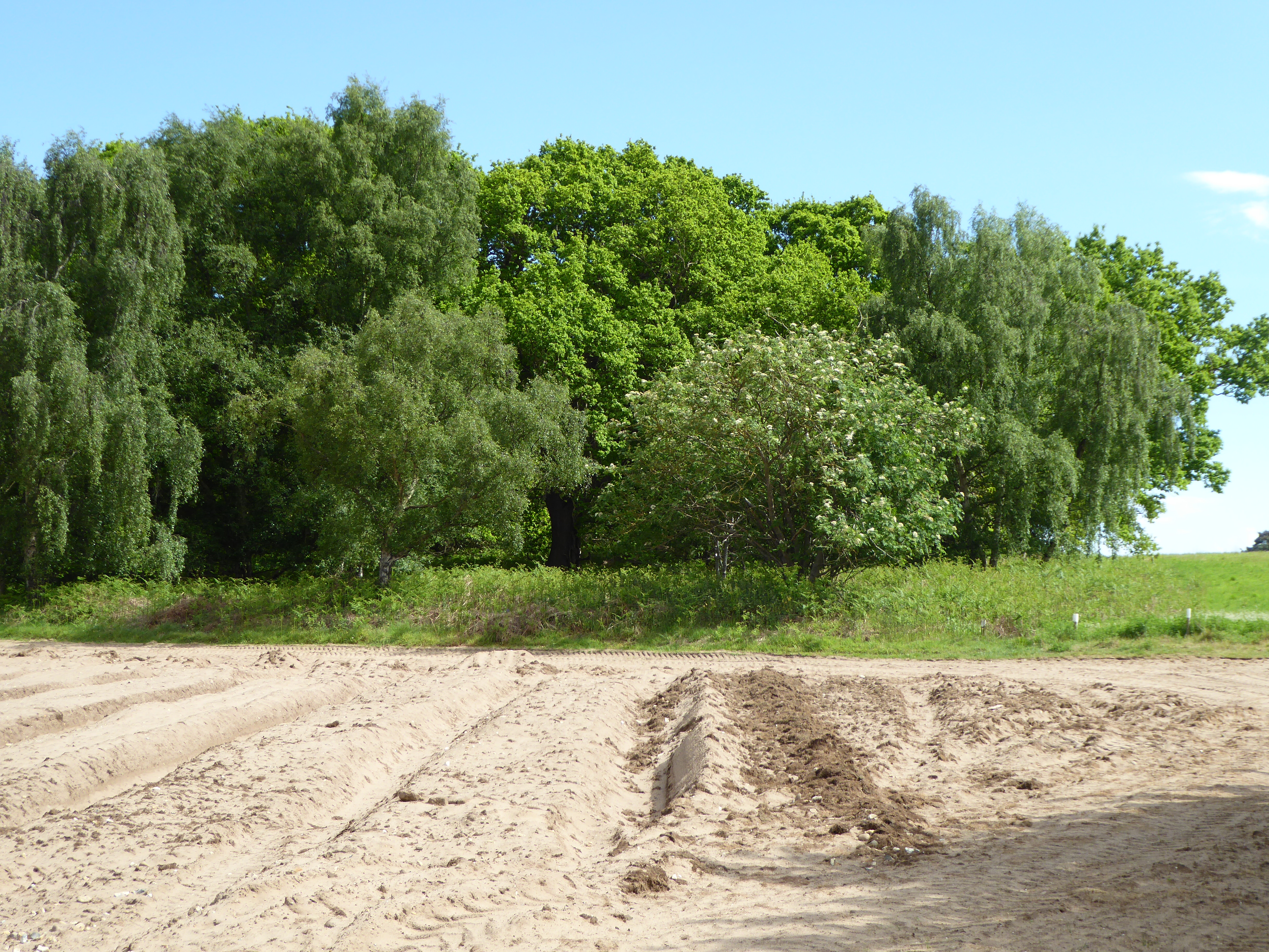
Church Reach is a picturesque area located in Suffolk, England, encompassing a combination of sea, estuary, and creek. It is situated near the town of Aldeburgh, known for its stunning coastal scenery and rich maritime heritage. Church Reach is a popular destination for nature lovers and those seeking tranquility in a scenic environment.
The sea in Church Reach offers visitors breathtaking views and a calming atmosphere. Its pristine sandy beaches provide the perfect setting for a leisurely walk or a peaceful picnic. The rhythmic sound of the waves crashing against the shore creates a soothing ambiance, making it an ideal spot for relaxation and contemplation.
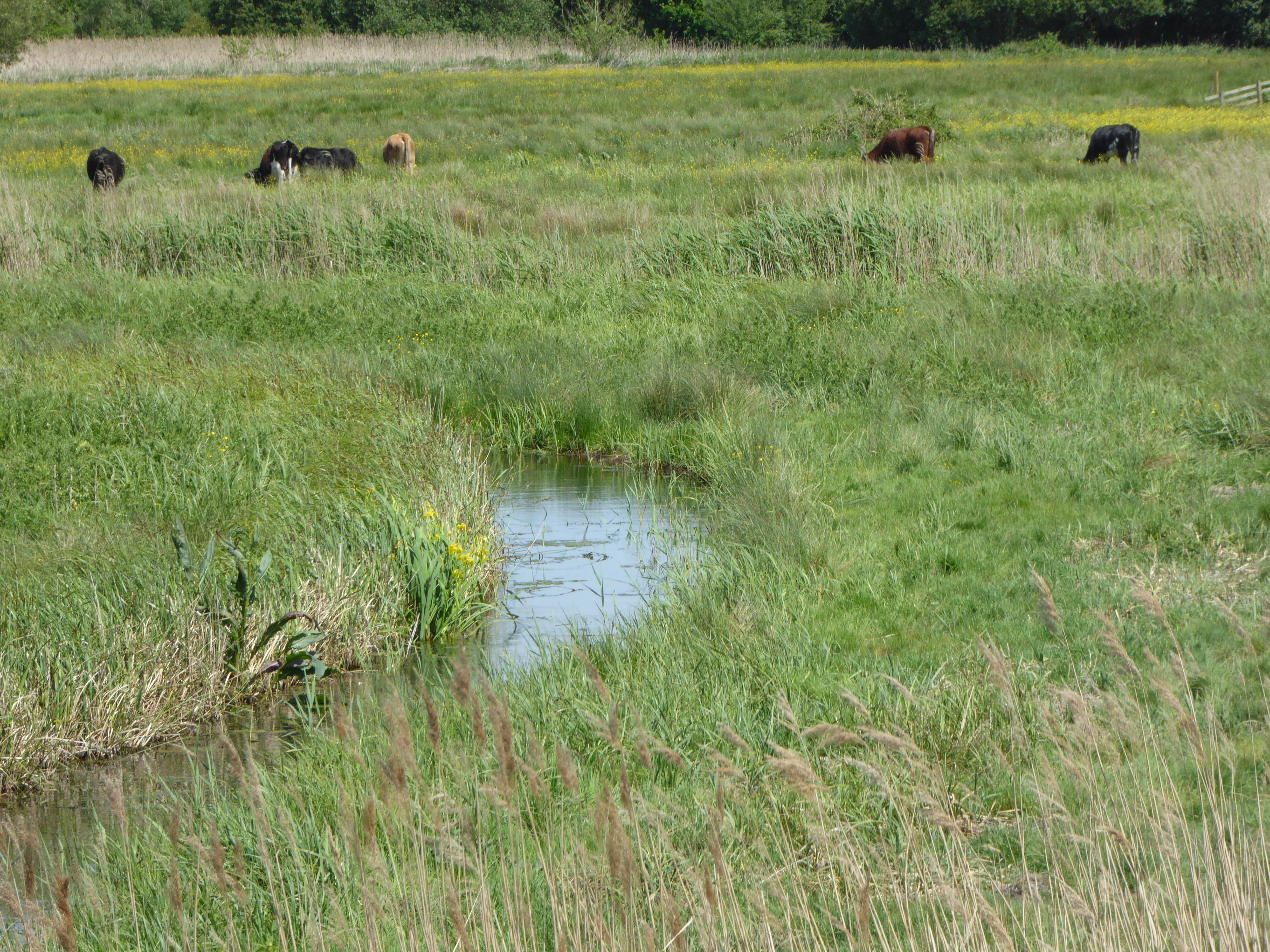
The estuary in Church Reach is a haven for various species of birds, making it a paradise for birdwatchers. The diverse ecosystem supports a wide range of avian life, including wading birds, ducks, and geese. Visitors can witness these beautiful creatures in their natural habitat while exploring the winding footpaths that meander through the estuary.
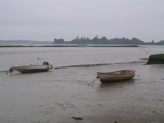
The creek in Church Reach is a tranquil waterway that attracts boating enthusiasts and anglers. Its calm waters offer the perfect opportunity for sailing, kayaking, or simply enjoying a peaceful boat ride. Fishing enthusiasts can cast their lines in search of a variety of fish species, including sea bass and flounder.
Church Reach, Suffolk, with its combination of sea, estuary, and creek, offers a unique and diverse natural environment. Its scenic beauty, abundant wildlife, and recreational opportunities make it a must-visit destination for nature enthusiasts and those seeking to escape the hustle and bustle of everyday life.
If you have any feedback on the listing, please let us know in the comments section below.
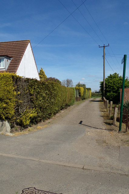
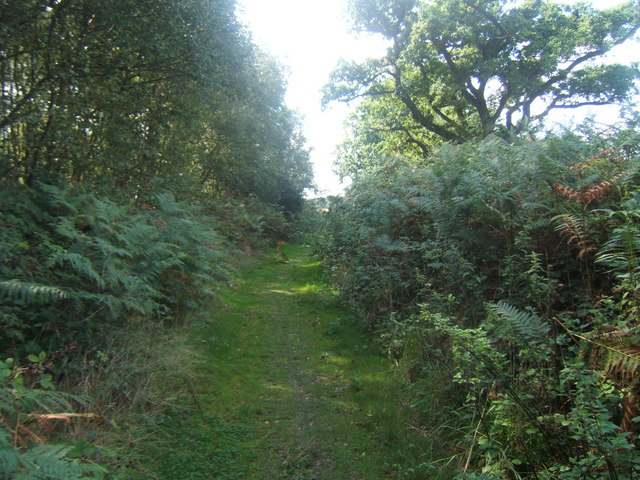
Church Reach Images
Images are sourced within 2km of 52.159041/1.5233019 or Grid Reference TM4157. Thanks to Geograph Open Source API. All images are credited.


Church Reach is located at Grid Ref: TM4157 (Lat: 52.159041, Lng: 1.5233019)
Administrative County: Suffolk
District: East Suffolk
Police Authority: Suffolk
What 3 Words
///epidemics.insects.beyond. Near Aldeburgh, Suffolk
Nearby Locations
Related Wikis
Snape Warren
Snape Warren is a 48 hectare biological Site of Special Scientific Interest east of Snape in Suffolk. It is part of the Sandlings Special Protection Area...
Alde Mudflats
Alde Mudflats is a 22 hectare nature reserve west of Iken in Suffolk. It is owned by the Crown Estate and managed by the Suffolk Wildlife Trust. It is...
Snape Marshes
Snape Marshes is a 19.8-hectare (49-acre) nature reserve south-east of Snape in Suffolk. It is owned and managed by the Suffolk Wildlife Trust.The diverse...
Iken Wood
Iken Wood is a 5.3-hectare (13-acre) biological Site of Special Scientific Interest south of Snape in Suffolk. It is in the Suffolk Coast and Heaths Area...
Aldeburgh Festival
The Aldeburgh Festival of Music and the Arts is an English arts festival devoted mainly to classical music. It takes place each June in the Aldeburgh area...

Suffolk Coastal (UK Parliament constituency)
Suffolk Coastal (sometimes known as Coastal Suffolk) is a parliamentary constituency in the county of Suffolk, England which has been represented in the...

Plomesgate Hundred
Plomesgate is a hundred of Suffolk, consisting of 41,579 acres (168.26 km2).Plomesgate Hundred comprises the historic ports of Aldeburgh and Orford, the...
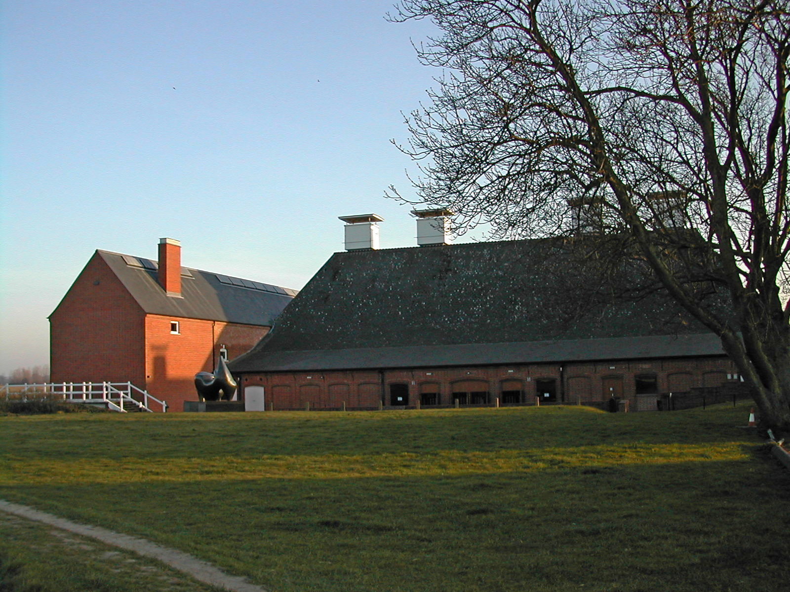
Snape Maltings Concert Hall
Snape Maltings Concert Hall is an arts complex on the banks of the River Alde at Snape, Suffolk, England. It is best known as one of the main sites of...
Nearby Amenities
Located within 500m of 52.159041,1.5233019Have you been to Church Reach?
Leave your review of Church Reach below (or comments, questions and feedback).