Bagnold's Reach

Sea, Estuary, Creek in Suffolk East Suffolk

England

Bagnold's Reach

Suffolk Coast Path at Iken Cliff
Suffolk Coast Path at Iken Cliff Credit: Christopher Hilton

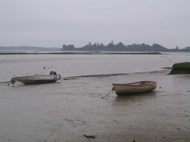
Bagnold's Reach is a picturesque coastal area located in Suffolk, England. Situated along the North Sea, it is known for its stunning natural beauty, comprising a unique combination of sea, estuary, and creek landscapes.

The area is characterized by its expansive sandy beach, which stretches for several miles along the coast. The beach is a popular spot for leisure activities such as sunbathing, picnicking, and beachcombing. Visitors can enjoy long walks along the shoreline, taking in the fresh sea air and panoramic views of the North Sea.

Adjacent to the beach is the estuary of the River Blyth, which adds to the charm of Bagnold's Reach. The estuary is a haven for wildlife, serving as a vital habitat for various bird species and marine life. Birdwatchers will be delighted by the opportunity to spot unique avian species such as oystercatchers, curlews, and terns, among others.

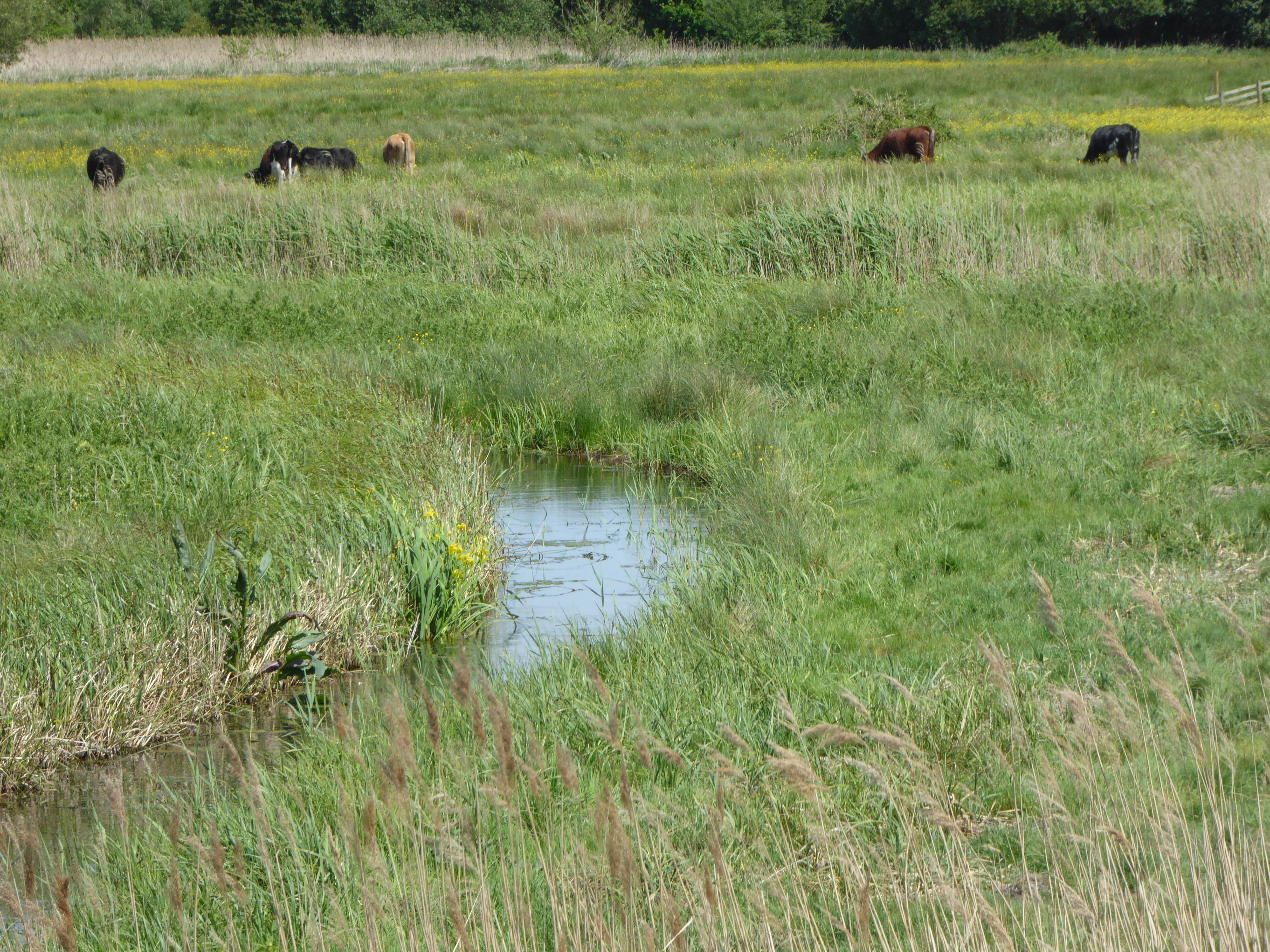
Further inland, the area boasts a network of tranquil creeks, where visitors can explore by boat or kayak. These peaceful waterways wind their way through lush marshlands and reed beds, offering a chance to observe the diverse flora and fauna that thrive in this wetland ecosystem.

Bagnold's Reach is not only a haven for nature enthusiasts but also offers a range of amenities for visitors, including quaint coastal villages, charming cafes, and local seafood restaurants. Whether it's a relaxing day at the beach, an adventurous boat trip, or simply immersing oneself in the natural beauty of the area, Bagnold's Reach has something to offer for everyone.

If you have any feedback on the listing, please let us know in the comments section below.

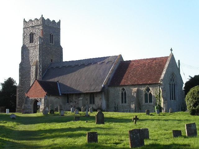
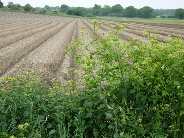
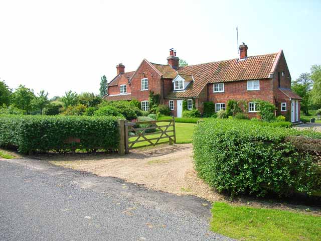
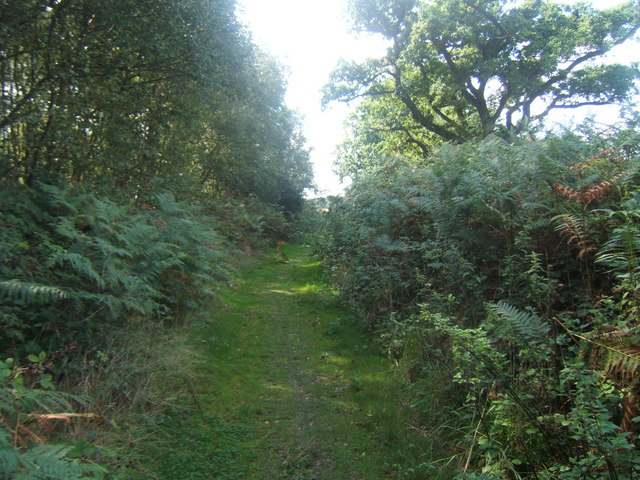
Bagnold's Reach Images

Images are sourced within 2km of 52.160175/1.5310844 or Grid Reference TM4157. Thanks to Geograph Open Source API. All images are credited.

Suffolk Coast Path at Iken Cliff
On the Suffolk Coast Path
Looking towards Snape Taken on film in 1998.

We are on the Suffolk Coast Path, though the view is approximate after so many years.
Looking towards Snape
Taken on film in 1998. We are on the Suffolk Coast Path, though the view is approximate after so many years.
River Alde, looking downriver towards Snape Warren The land on the right was formerly farmland and has been reclaimed by the river after the river wall was breached.  On the horizon above that, the tower of Iken church.
River Alde, looking downriver towards Snape Warren
The land on the right was formerly farmland and has been reclaimed by the river after the river wall was breached. On the horizon above that, the tower of Iken church.
River Alde downstream of Snape The land on the far side of the river was formerly farmland and has been reclaimed by the water after the river wall was breached. The breach seen here is one of several that interrupt the wall (this one is too small to appear on the 1:50,000 OS map): the path along the river wall remains a public right of way but can no longer be walked.
In the distance, large numbers of roosting gulls: the photo was taken some 30 minutes before sunset and a steady stream of gulls was passing over to join the flock.
River Alde downstream of Snape
The land on the far side of the river was formerly farmland and has been reclaimed by the water after the river wall was breached. The breach seen here is one of several that interrupt the wall (this one is too small to appear on the 1:50,000 OS map): the path along the river wall remains a public right of way but can no longer be walked. In the distance, large numbers of roosting gulls: the photo was taken some 30 minutes before sunset and a steady stream of gulls was passing over to join the flock.
River Alde downstream of Snape The land on the far side of the river was formerly farmland and has been reclaimed by the water after the river wall was breached. The breach seen here on the far right is one of several that interrupt the wall (this one is too small to appear on the 1:50,000 OS map): the path along the river wall remains a public right of way but can no longer be walked.
In the distance, large numbers of roosting gulls: the photo was taken some 30 minutes before sunset and a steady stream of gulls was passing over to join the flock.
River Alde downstream of Snape
The land on the far side of the river was formerly farmland and has been reclaimed by the water after the river wall was breached. The breach seen here on the far right is one of several that interrupt the wall (this one is too small to appear on the 1:50,000 OS map): the path along the river wall remains a public right of way but can no longer be walked. In the distance, large numbers of roosting gulls: the photo was taken some 30 minutes before sunset and a steady stream of gulls was passing over to join the flock.
Looking down the River Alde towards Iken, below Snape The land on the far side of the river was formerly farmland and has been reclaimed by the water after the river wall was breached. The breach seen here on the far right is one of several that interrupt the wall (this one is too small to appear on the 1:50,000 OS map): the path along the river wall remains a public right of way but can no longer be walked.
In the distance, large numbers of roosting gulls: the photo was taken some 30 minutes before sunset and a steady stream of gulls was passing over to join the flock.
Looking down the River Alde towards Iken, below Snape
The land on the far side of the river was formerly farmland and has been reclaimed by the water after the river wall was breached. The breach seen here on the far right is one of several that interrupt the wall (this one is too small to appear on the 1:50,000 OS map): the path along the river wall remains a public right of way but can no longer be walked. In the distance, large numbers of roosting gulls: the photo was taken some 30 minutes before sunset and a steady stream of gulls was passing over to join the flock.
Towards Snape Bridge
River Alde downstream of Snape The wide area of muddy marsh on the far side of the river was, until the twentieth century, reclaimed agricultural land, but a breach in the river defences led to its being taken back by the river.  The public right of way along the river wall is now broken at several points.
In the middle distance, on the far bank of the river, a pair of shelduck.
River Alde downstream of Snape
The wide area of muddy marsh on the far side of the river was, until the twentieth century, reclaimed agricultural land, but a breach in the river defences led to its being taken back by the river. The public right of way along the river wall is now broken at several points. In the middle distance, on the far bank of the river, a pair of shelduck.
River Alde downstream of Snape The wide area of muddy marsh on the far side of the river was, until the twentieth century, reclaimed agricultural land, but a breach in the river defences led to its being taken back by the river.  The public right of way along the river wall is now broken at several points.
River Alde downstream of Snape
The wide area of muddy marsh on the far side of the river was, until the twentieth century, reclaimed agricultural land, but a breach in the river defences led to its being taken back by the river. The public right of way along the river wall is now broken at several points.
Lower Troublesome Reach, Iken, Suffolk An appropriate name for this stretch of the River Alde. Photograph taken at high tide looking north-east towards Iken church.
Lower Troublesome Reach, Iken, Suffolk
An appropriate name for this stretch of the River Alde. Photograph taken at high tide looking north-east towards Iken church.
The River Alde at Iken
St Botolph's Church, Iken The Anglo-Saxon Chronicle records that in AD 654 'Botwulf began to build the minster at Icanho'. Better known now as St Botolph.
St Botolph's Church, Iken
The Anglo-Saxon Chronicle records that in AD 654 'Botwulf began to build the minster at Icanho'. Better known now as St Botolph.
Farmland near Snape Farmland to the east of Snape village near Rookery Farm.
Farmland near Snape
Farmland to the east of Snape village near Rookery Farm.
Thatching in progress Alde Cottage, Iken
Thatching in progress
Alde Cottage, Iken
Decoy Cottage, Iken Very large for a cottage! The "decoy" refers to a duck decoy pond, about 500 m to the east.
Decoy Cottage, Iken
Very large for a cottage! The "decoy" refers to a duck decoy pond, about 500 m to the east.
Interior of St. Botolph, Iken, Suffolk Interior of St. Botolph, Iken, Suffolk. It was at this place that St. Botolph founded his monastery and brought Christianity to Suffolk. There has been a church on this site for over 1350 years.

See also this photograph <a href="https://www.geograph.org.uk/photo/434060">TM4156 : East Window and Altar, St. Botolph</a>.
Interior of St. Botolph, Iken, Suffolk
Interior of St. Botolph, Iken, Suffolk. It was at this place that St. Botolph founded his monastery and brought Christianity to Suffolk. There has been a church on this site for over 1350 years. See also this photograph TM4156 : East Window and Altar, St. Botolph.
Show me another place!

Bagnold's Reach is located at Grid Ref: TM4157 (Lat: 52.160175, Lng: 1.5310844)

Administrative County: Suffolk

District: East Suffolk

Police Authority: Suffolk

What 3 Words

///remainder.outgrown.liver. Near Aldeburgh, Suffolk

Related Wikis

Snape Warren

Snape Warren is a 48 hectare biological Site of Special Scientific Interest east of Snape in Suffolk. It is part of the Sandlings Special Protection Area...

Alde Mudflats

Alde Mudflats is a 22 hectare nature reserve west of Iken in Suffolk. It is owned by the Crown Estate and managed by the Suffolk Wildlife Trust. It is...

Snape Marshes

Snape Marshes is a 19.8-hectare (49-acre) nature reserve south-east of Snape in Suffolk. It is owned and managed by the Suffolk Wildlife Trust. The diverse...

Sandlings Walk

The Sandlings Walk is a long-distance path in Suffolk, England. It runs 91.6km through the Suffolk Sandling that used to stretch from the outskirts of...

Nearby Amenities

Located within 500m of 52.160175,1.5310844
Source: PGS
Lat/Long: 52.1568701/1.5356888
Source: PGS
Lat/Long: 52.1573799/1.5339911
Source: PGS
Lat/Long: 52.1572879/1.5338306
Source: PGS
Lat/Long: 52.1572059/1.5336272
Source: PGS
Lat/Long: 52.1569853/1.5333657
Source: PGS
Lat/Long: 52.1568164/1.5296622
Source: PGS
Lat/Long: 52.1569476/1.5285235
Source: PGS
Lat/Long: 52.1608948/1.5238794
Source: PGS
Lat/Long: 52.1609791/1.5258617
Source: PGS
Lat/Long: 52.1611633/1.5262392
Source: PGS
Lat/Long: 52.1610742/1.5270956
Source: PGS
Lat/Long: 52.1621584/1.5284928
Source: PGS
Lat/Long: 52.162457/1.528806
Source: PGS
Lat/Long: 52.1633977/1.5324045
Source: PGS
Lat/Long: 52.1637643/1.5334066
The data included in this document is from www.openstreetmap.org. The data is made available under ODbL.

Have you been to Bagnold's Reach?

Leave your review of Bagnold's Reach below (or comments, questions and feedback).