Jill's Hole
Sea, Estuary, Creek in Suffolk Babergh
England
Jill's Hole
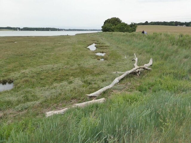
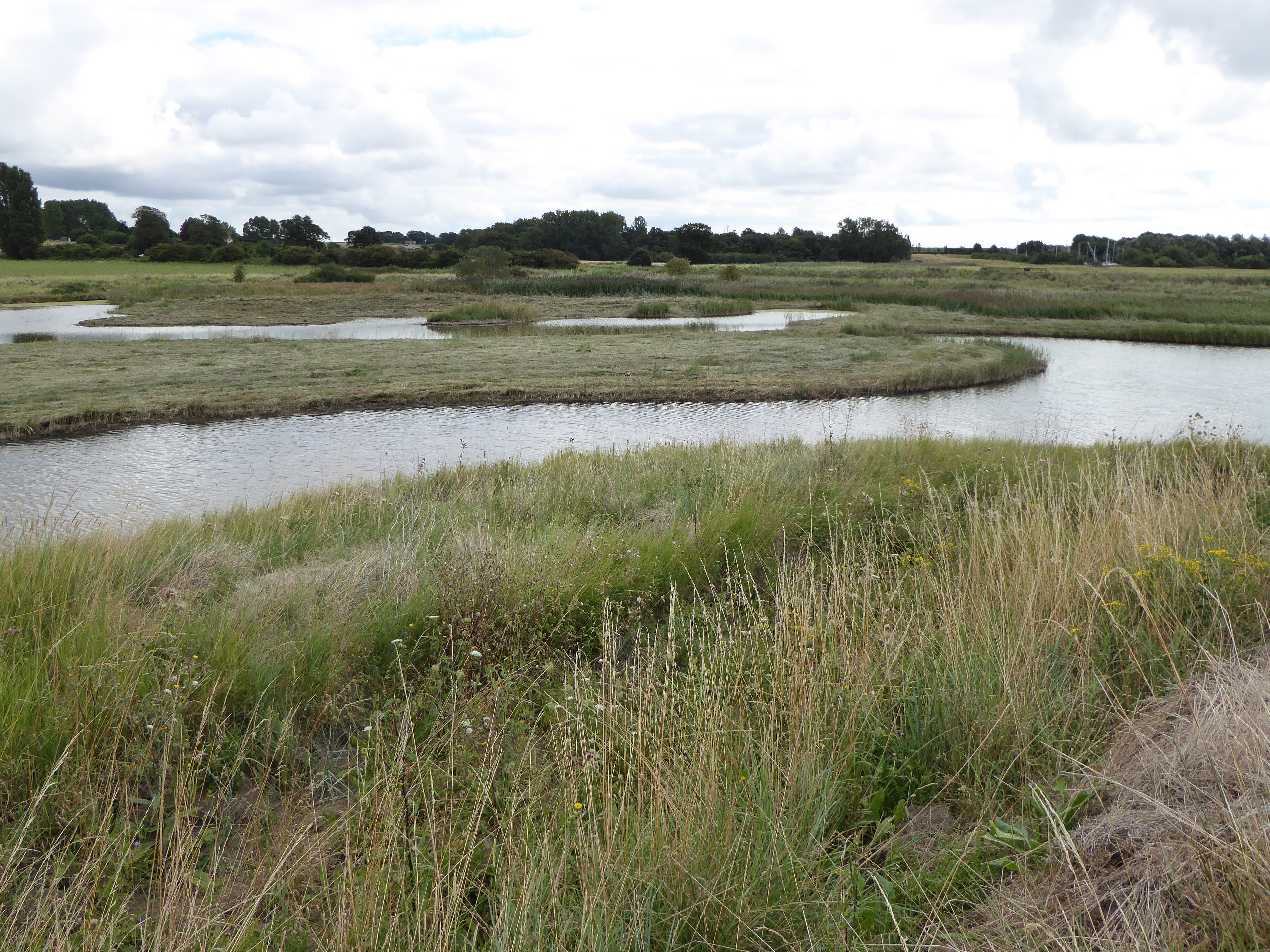
Jill's Hole is a small coastal feature located in Suffolk, England. It is known for its unique combination of a sea, estuary, and creek, making it a fascinating natural attraction.
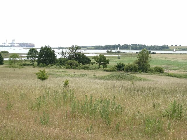
Situated on the eastern coast of the county, Jill's Hole is bordered by the North Sea to the east. The sea provides a stunning backdrop, with its vast expanse of waters stretching out into the horizon. The area is popular among tourists and locals alike for its picturesque views and tranquil atmosphere.
To the west of Jill's Hole, an estuary can be found. Estuaries are formed when a river meets the sea, resulting in a mix of saltwater and freshwater. This creates a diverse ecosystem that is home to various species of marine life and birds. Visitors to Jill's Hole can observe the unique flora and fauna that thrive in this estuarine environment.
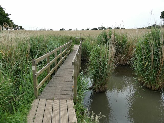
In addition to the sea and estuary, Jill's Hole is also characterized by a small creek. The creek winds its way through the landscape, adding to the charm and natural beauty of the area. It provides opportunities for activities such as boating, kayaking, and fishing.
Overall, Jill's Hole offers a blend of coastal features, including a sea, estuary, and creek. It is a place of natural beauty, where visitors can enjoy stunning views, observe diverse wildlife, and engage in recreational activities.
If you have any feedback on the listing, please let us know in the comments section below.
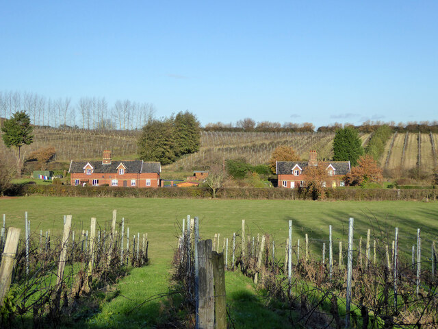
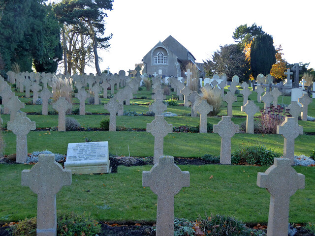
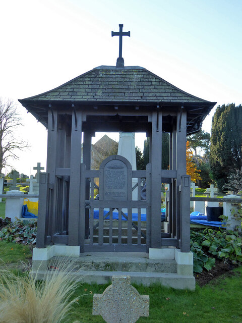
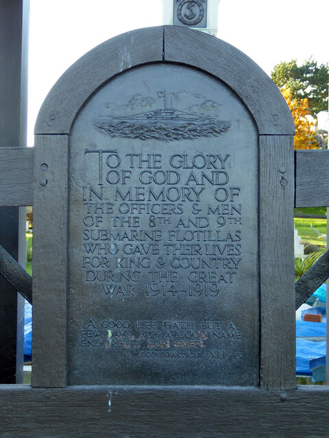
Jill's Hole Images
Images are sourced within 2km of 51.988564/1.2631887 or Grid Reference TM2437. Thanks to Geograph Open Source API. All images are credited.


Jill's Hole is located at Grid Ref: TM2437 (Lat: 51.988564, Lng: 1.2631887)
Administrative County: Suffolk
District: Babergh
Police Authority: Suffolk
What 3 Words
///renew.pine.alike. Near Shotley Gate, Suffolk
Nearby Locations
Related Wikis
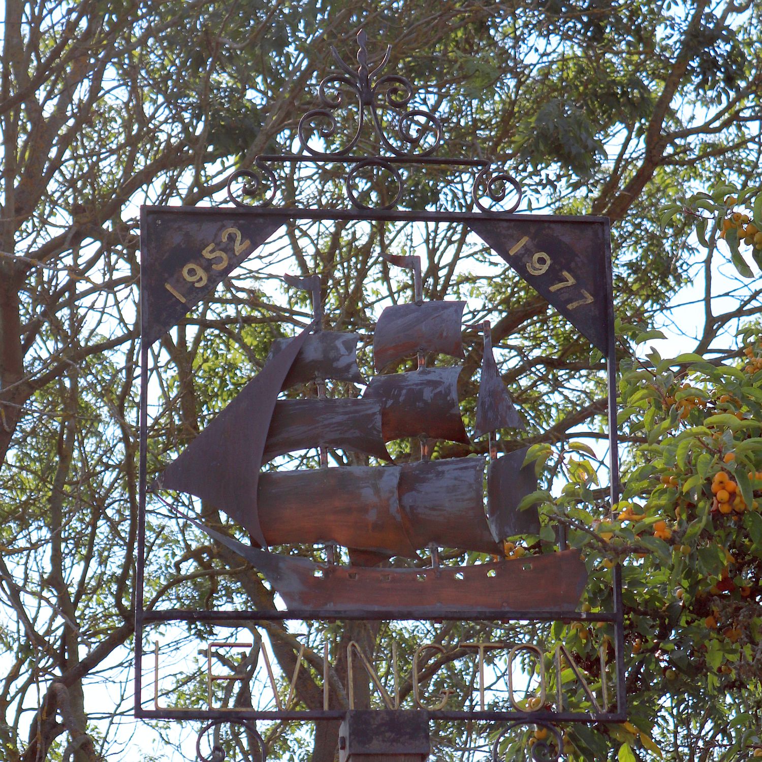
Levington
Levington is a small village in the county of Suffolk, England in the East Suffolk district. The population of the parish including Stratton Hall at the...
Levington Lagoon
Levington Lagoon is a 5 hectare nature reserve south-east of Levington in Suffolk. It is owned by Suffolk Yacht Harbour Ltd and managed by the Suffolk...

Stratton Hall
Stratton Hall is a civil parish in the East Suffolk district of Suffolk in eastern England. In 2005 its population was 30. It shares a parish council with...

Shotley
Shotley is a village and civil parish 8 miles (13 km) south-east of Ipswich in the English county of Suffolk. It is in the Babergh district and gives its...
Have you been to Jill's Hole?
Leave your review of Jill's Hole below (or comments, questions and feedback).