Long Reach
Sea, Estuary, Creek in Suffolk East Suffolk
England
Long Reach
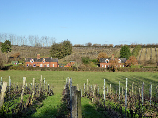
Long Reach is a picturesque area located in the Suffolk region of England. Situated along the eastern coast, Long Reach is characterized by its stunning sea, estuary, and creek landscapes. The area is renowned for its natural beauty, attracting visitors from all over the country.
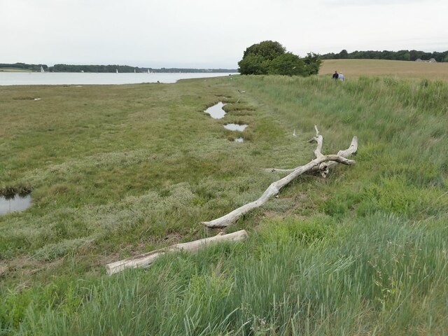
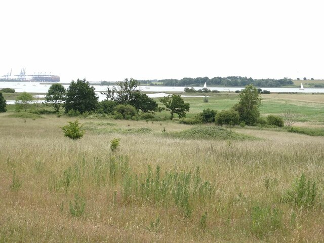
Long Reach boasts a vast stretch of coastline that offers breathtaking views of the North Sea. With its pristine sandy beaches, gentle waves, and expansive horizon, the sea in Long Reach is a popular destination for beachgoers and water sports enthusiasts alike. The clean and inviting waters provide an ideal setting for swimming, sailing, and fishing activities.
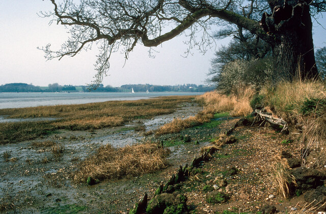
In addition to the sea, Long Reach is also home to a magnificent estuary. The estuary is formed by the convergence of several rivers, creating a unique ecosystem that supports a diverse range of flora and fauna. Visitors can explore the estuary by boat, kayak, or on foot, marveling at the rich biodiversity and peaceful surroundings.
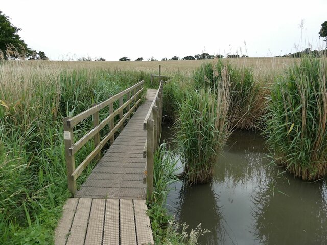
Furthermore, Long Reach boasts a charming creek that meanders through the landscape. This smaller body of water flows into the estuary and offers a tranquil setting for nature lovers seeking a more secluded experience. The creek is a haven for wildlife, providing a habitat for various bird species and other aquatic creatures.
Overall, Long Reach in Suffolk offers a captivating blend of sea, estuary, and creek landscapes. Its natural beauty, combined with its recreational opportunities, makes it a sought-after destination for those seeking a peaceful and scenic getaway.
If you have any feedback on the listing, please let us know in the comments section below.
Long Reach Images
Images are sourced within 2km of 51.993907/1.2524462 or Grid Reference TM2337. Thanks to Geograph Open Source API. All images are credited.


Long Reach is located at Grid Ref: TM2337 (Lat: 51.993907, Lng: 1.2524462)
Administrative County: Suffolk
District: East Suffolk
Police Authority: Suffolk
What 3 Words
///chat.horseshoe.oddly. Near Shotley Gate, Suffolk
Nearby Locations
Related Wikis
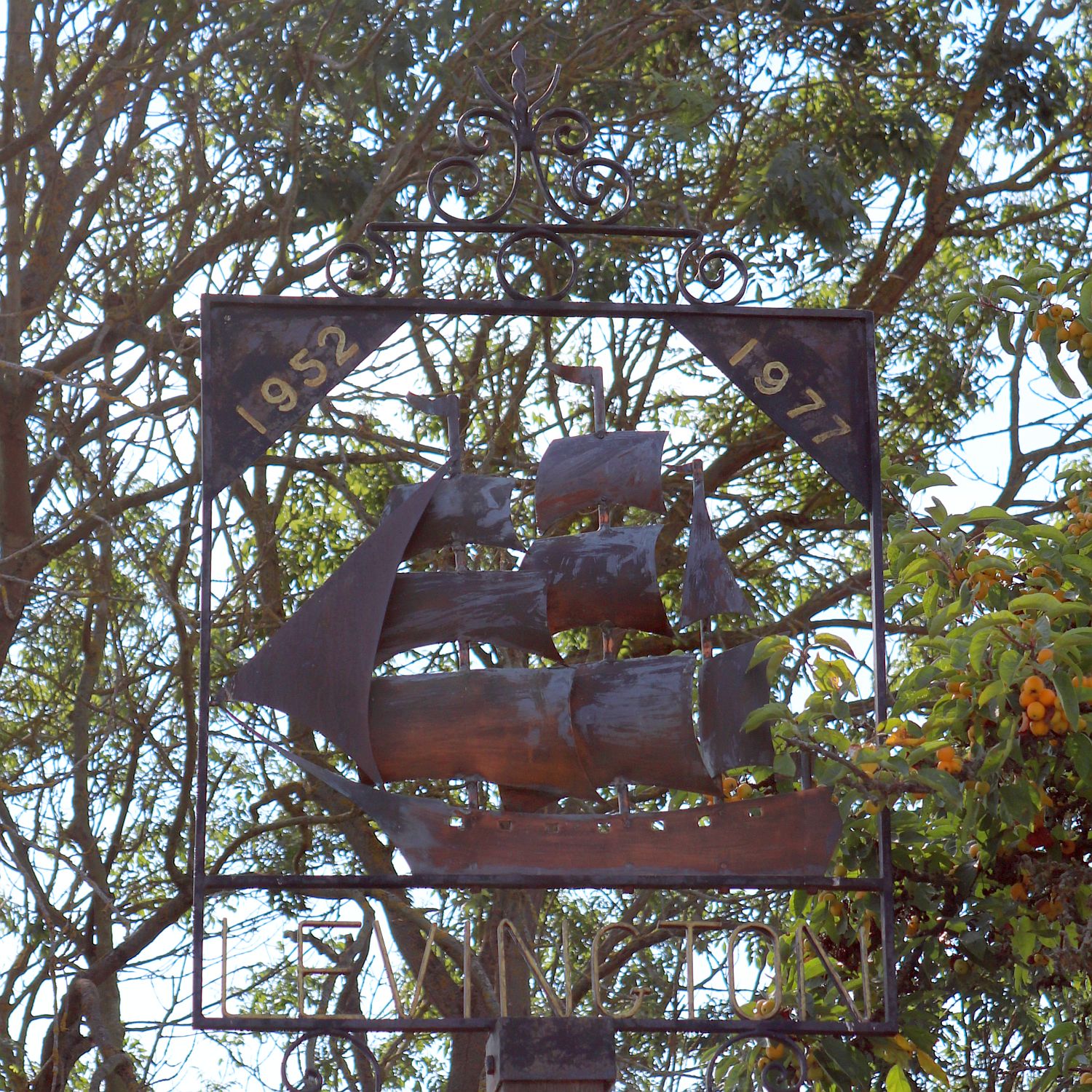
Levington
Levington is a small village in the county of Suffolk, England in the East Suffolk district. The population of the parish including Stratton Hall at the...
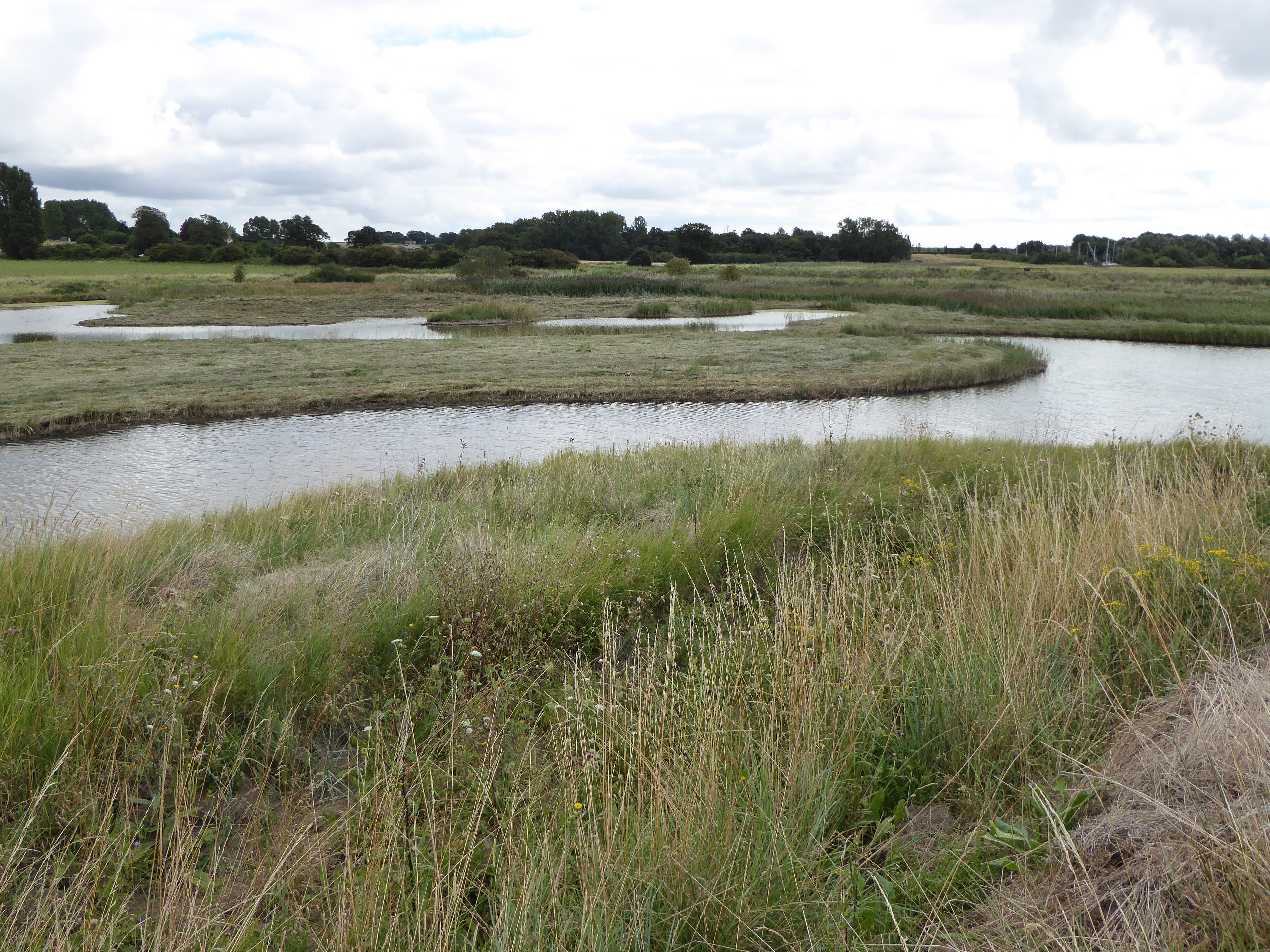
Levington Lagoon
Levington Lagoon is a 5 hectare nature reserve south-east of Levington in Suffolk. It is owned by Suffolk Yacht Harbour Ltd and managed by the Suffolk...

Stratton Hall
Stratton Hall is a civil parish in the East Suffolk district of Suffolk in eastern England. In 2005 its population was 30. It shares a parish council with...

Broke Hall
Broke Hall is an English country house at Nacton, near Ipswich, Suffolk. It overlooks the River Orwell, opposite Pin Mill. The gardens were landscaped...
Nearby Amenities
Located within 500m of 51.993907,1.2524462Have you been to Long Reach?
Leave your review of Long Reach below (or comments, questions and feedback).