Collimer Point

Coastal Marsh, Saltings in Suffolk Babergh

England

Collimer Point

Door, Shotley church St. Mary's is a grade II*(star) listed building. This door in the chancel is dated 1745, considered to be the rebuilding date of the whole chancel.
Door, Shotley church Credit: Robin Webster

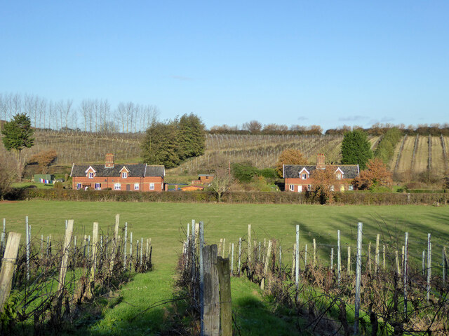
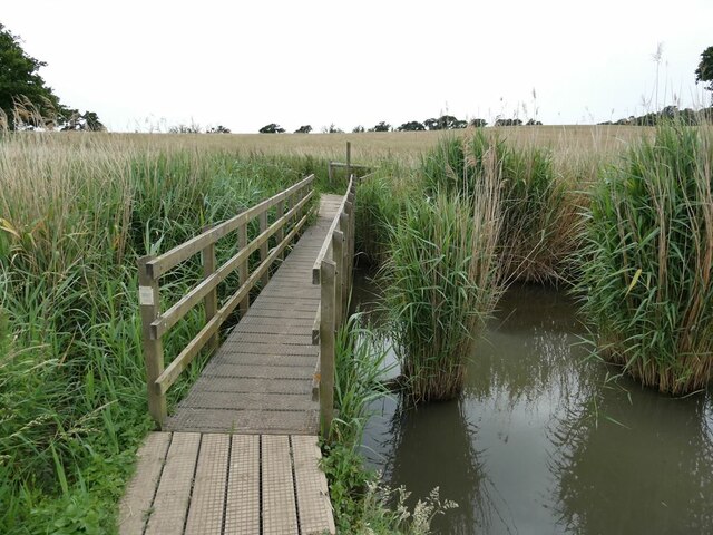
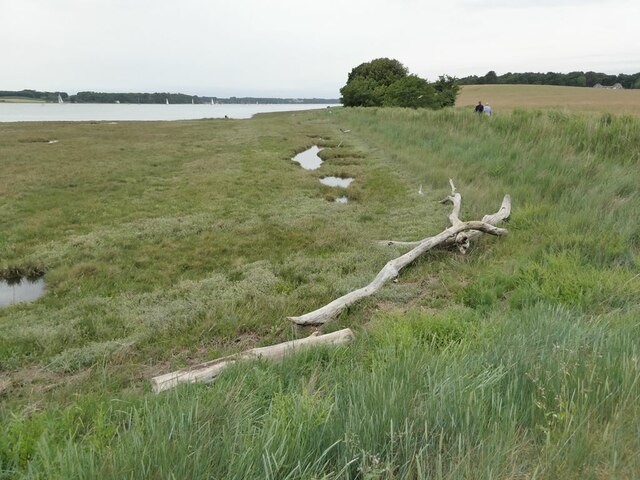
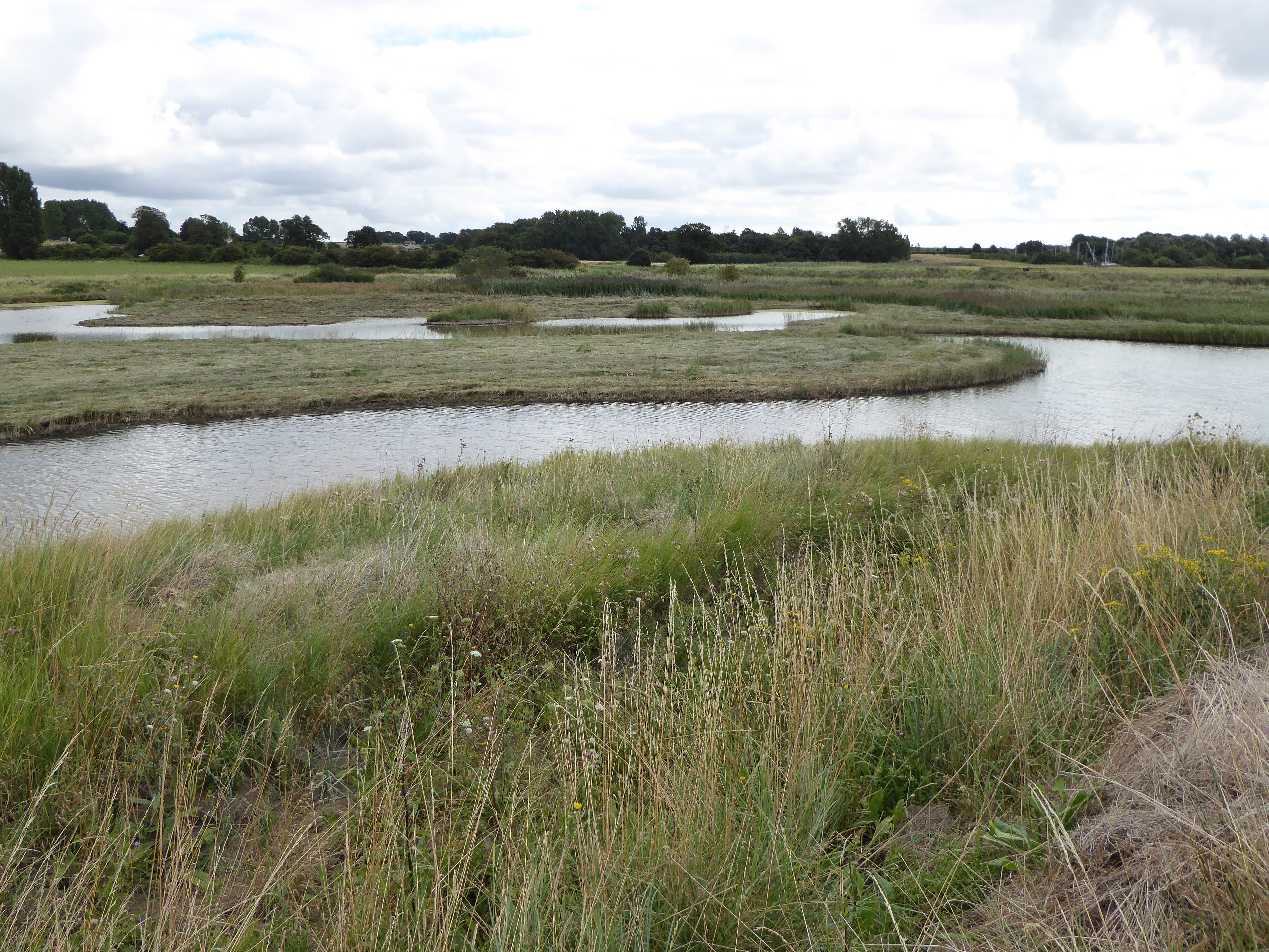
Collimer Point is a picturesque coastal marsh located in Suffolk, England. It is situated along the eastern coast of the county, near the village of Orford. This stunning natural landscape is renowned for its unique ecosystem, consisting of salt marshes and saltings.

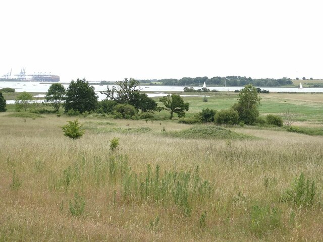
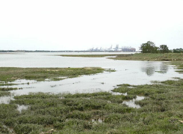
The area is characterized by its vast expanses of salt marshes, which are marshy wetlands that are regularly flooded by seawater. These marshes are vital habitats for a wide range of plant and animal species, many of which are specially adapted to survive in the saline conditions. The rich biodiversity of Collimer Point includes various species of grasses, reeds, and shrubs, as well as numerous bird species that use the marshes for nesting and feeding.

In addition to the salt marshes, Collimer Point also features saltings, which are areas of land that are covered by salt during high tides but are exposed at low tide. These saltings support a diverse array of salt-tolerant plants, such as samphire and sea lavender. The intertidal zone between the salt marshes and saltings is an important feeding ground for wading birds, including curlews and redshanks.

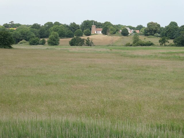
Visitors to Collimer Point can enjoy peaceful walks along the coastal paths, taking in the stunning views of the marshes and the surrounding countryside. The area is a haven for birdwatchers, who can spot a variety of resident and migratory bird species throughout the year. It is also a popular spot for nature lovers and photographers, as the ever-changing tides create beautiful and dramatic landscapes.

Overall, Collimer Point in Suffolk is a remarkable coastal marsh and saltings, offering a unique and diverse ecosystem that is both visually stunning and ecologically important.

If you have any feedback on the listing, please let us know in the comments section below.

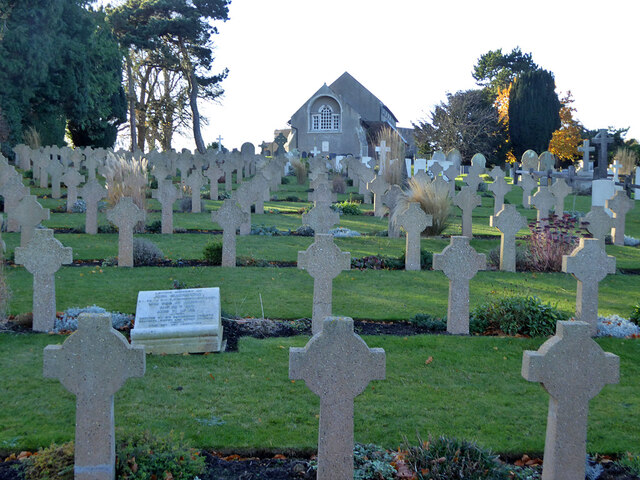
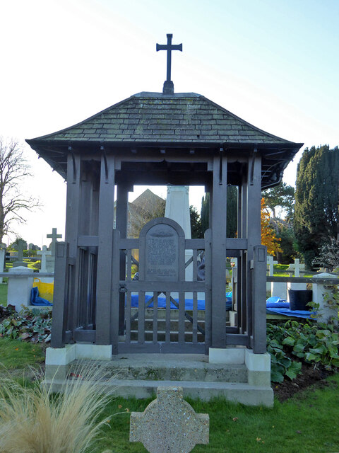
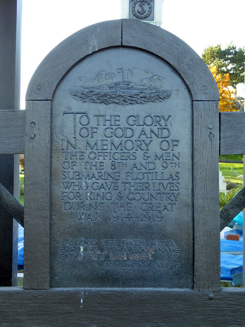
Collimer Point Images

Images are sourced within 2km of 51.98765/1.2692116 or Grid Reference TM2437. Thanks to Geograph Open Source API. All images are credited.

Door, Shotley church St. Mary's is a grade II*(star) listed building. This door in the chancel is dated 1745, considered to be the rebuilding date of the whole chancel.
Door, Shotley church
St. Mary's is a grade II*(star) listed building. This door in the chancel is dated 1745, considered to be the rebuilding date of the whole chancel.
War memorial and war graves, Shotley During the 1939-1945 War, Shotley Gate was the Royal Naval Training Establishment H.M.S. Ganges. This is a special Royal Navy cemetery, next to the regular cemetery off to the right.
War memorial and war graves, Shotley
During the 1939-1945 War, Shotley Gate was the Royal Naval Training Establishment H.M.S. Ganges. This is a special Royal Navy cemetery, next to the regular cemetery off to the right.
Shotley church St. Mary's is a grade II*(star) listed building.
Shotley church
St. Mary's is a grade II*(star) listed building.
Navy graves, Shotley The eastern end of the extended churchyard in largely given over to Naval graves from the First World War. There is a special section and memorial for submariners.
Navy graves, Shotley
The eastern end of the extended churchyard in largely given over to Naval graves from the First World War. There is a special section and memorial for submariners.
Shotley vineyards and cottages on Frogs Alley
Navy graves, Shotley The eastern end of the extended churchyard in largely given over to Naval graves from the First World War.
Navy graves, Shotley
The eastern end of the extended churchyard in largely given over to Naval graves from the First World War.
Submariners' memorial lychgate, Shotley For those of the 8th and 9th submarine flotillas who died 1914-1919.
Submariners' memorial lychgate, Shotley
For those of the 8th and 9th submarine flotillas who died 1914-1919.
Plaque, submariners' memorial lychgate, Shotley
Submariners' memorial, Shotley For those of the 8th and 9th submarine flotillas who died 1914-1919. The plastic sheeting looks like it is protecting setting concrete from frost.
Submariners' memorial, Shotley
For those of the 8th and 9th submarine flotillas who died 1914-1919. The plastic sheeting looks like it is protecting setting concrete from frost.
Navy cemetery, Shotley During the 1939-1945 War, Shotley Gate was the Royal Naval Training Establishment H.M.S. Ganges. This is a special Royal Navy cemetery, next to the regular cemetery behind the camera the right.
Navy cemetery, Shotley
During the 1939-1945 War, Shotley Gate was the Royal Naval Training Establishment H.M.S. Ganges. This is a special Royal Navy cemetery, next to the regular cemetery behind the camera the right.
Shotley church and cemeteries To the left of the cemetery path, civilian graves, to the right, WWII naval graves.
Shotley church and cemeteries
To the left of the cemetery path, civilian graves, to the right, WWII naval graves.
Oldhall Road, Shotley From Shotley Church End towards Shotley and Shotley Gate.
Oldhall Road, Shotley
From Shotley Church End towards Shotley and Shotley Gate.
Footbridge over the Cut The Cut is a drain  on  Levington Marsh.
Footbridge over the Cut
The Cut is a drain on Levington Marsh.
Driftwood on the shore of the River Orwell
Levington Marshes Looking down from Levington village to Levington Creek, the River Orwell and in the distance the container port at Felixstowe.
Levington Marshes
Looking down from Levington village to Levington Creek, the River Orwell and in the distance the container port at Felixstowe.
Levington Marshes Looking from the sea wall towards Levington village and church.
Levington Marshes
Looking from the sea wall towards Levington village and church.
Levington Creek With a distant view of the container port of Felixstowe.
Levington Creek
With a distant view of the container port of Felixstowe.
Show me another place!

Collimer Point is located at Grid Ref: TM2437 (Lat: 51.98765, Lng: 1.2692116)

Administrative County: Suffolk

District: Babergh

Police Authority: Suffolk

What 3 Words

///elsewhere.corded.articulated. Near Shotley Gate, Suffolk

Nearby Locations

Jill's Hole Collimer Point

Related Wikis

Stratton Hall

Stratton Hall is a civil parish in the East Suffolk district of Suffolk in eastern England. In 2005 its population was 30. It shares a parish council with...

Levington Lagoon

Levington Lagoon is a 5 hectare nature reserve south-east of Levington in Suffolk. It is owned by Suffolk Yacht Harbour Ltd and managed by the Suffolk...
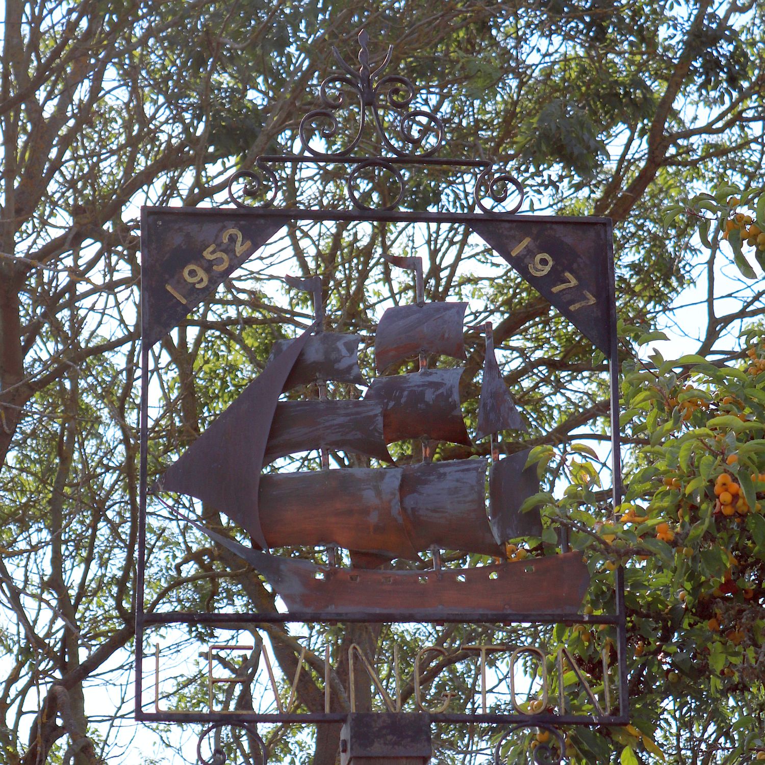
Levington

Levington is a small village in the county of Suffolk, England in the East Suffolk district. The population of the parish including Stratton Hall at the...

Alston, Suffolk

Alston was a medieval parish in the county of Suffolk. Without enough people to ensure its survival, the parish was consolidated with that of Trimley St...

Nearby Amenities

Located within 500m of 51.98765,1.2692116
Seamark Buoy Lateral Category: starboard
Seamark Buoy Lateral Colour: green
Seamark Buoy Lateral Shape: conical
Seamark Light Character: Q
Seamark Light Colour: green
Seamark Name: Stratton
Seamark Type: buoy_lateral
Lat/Long: 51.9903772/1.273052
Seamark Buoy Lateral Category: port
Seamark Buoy Lateral Colour: red
Seamark Buoy Lateral Shape: can
Seamark Buoy Lateral System: iala-a
Seamark Light Character: Q
Seamark Light Colour: red
Seamark Name: Collimer
Seamark Type: buoy_lateral
Lat/Long: 51.9891448/1.2718075
The data included in this document is from www.openstreetmap.org. The data is made available under ODbL.

Have you been to Collimer Point?

Leave your review of Collimer Point below (or comments, questions and feedback).