Boatmere Creek
Sea, Estuary, Creek in Lincolnshire South Holland
England
Boatmere Creek
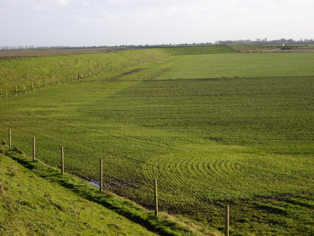
Boatmere Creek is a picturesque waterway located in Lincolnshire, a county in eastern England. It is a unique combination of a sea, estuary, and creek, offering a diverse range of natural beauty and recreational opportunities.
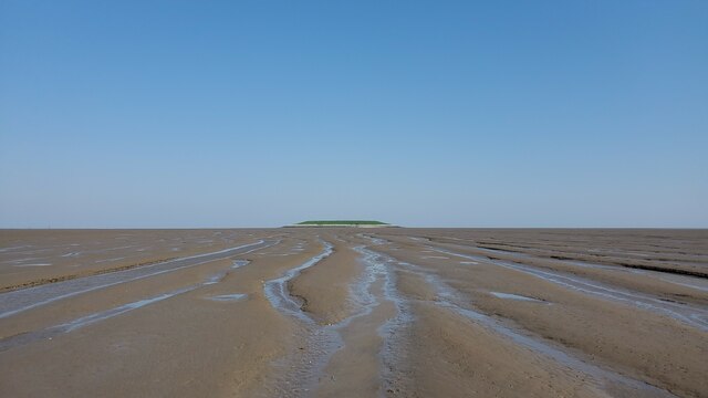
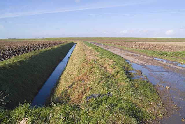
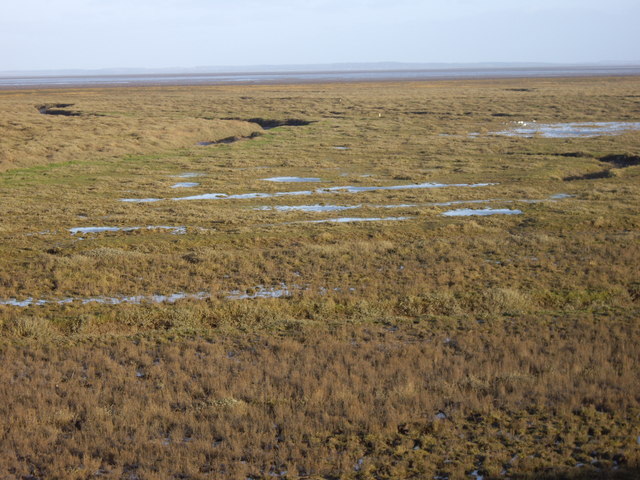
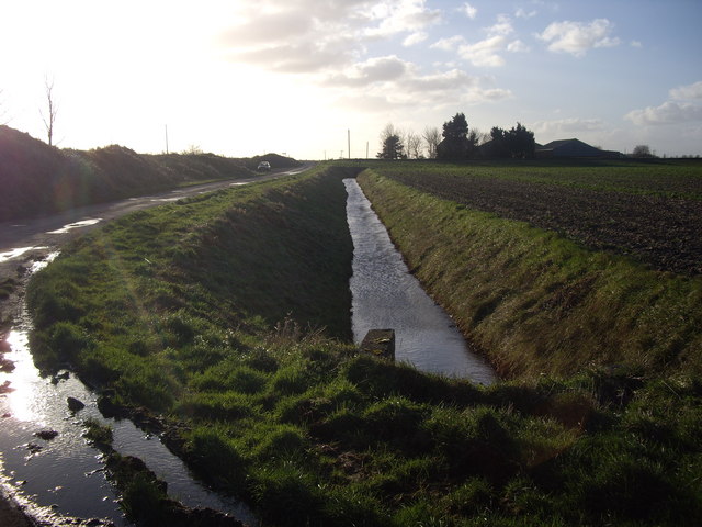
Situated on the coast, Boatmere Creek is directly connected to the North Sea, providing a gateway to the vast expanse of the ocean. The creek itself is an estuary, formed where the river meets the sea, resulting in a mix of fresh and saltwater. This creates a dynamic ecosystem that supports a variety of flora and fauna.
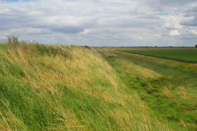
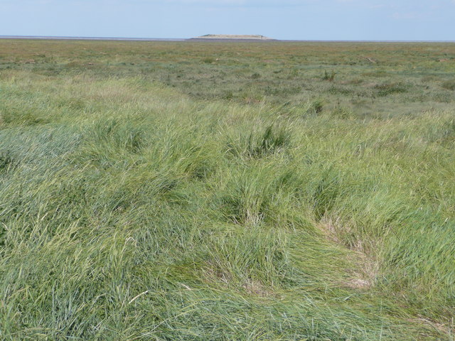
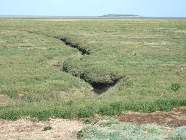
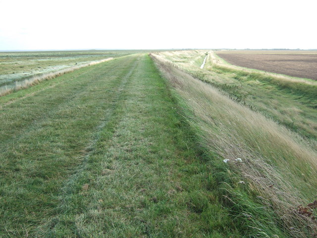
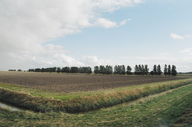
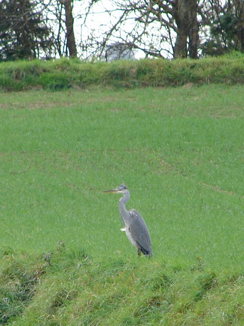
The creek is characterized by its winding channels and marshy banks, which are adorned with vibrant vegetation such as reeds, grasses, and wildflowers. These habitats provide a sanctuary for numerous bird species, including wading birds, ducks, and migratory birds, making it a haven for birdwatchers and nature enthusiasts.
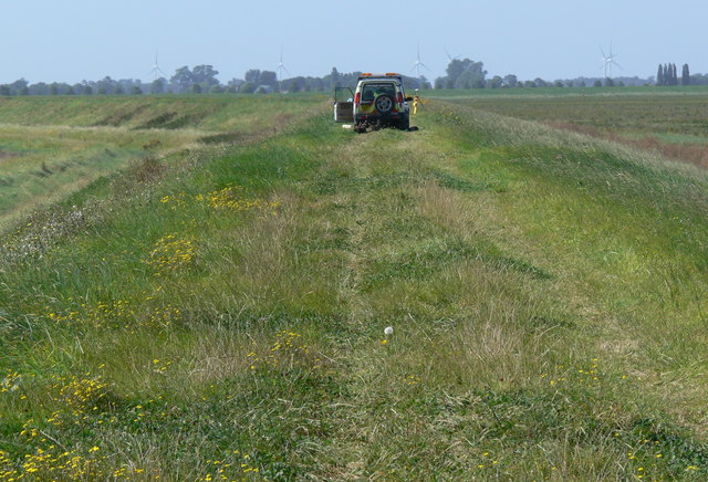
In addition to its natural beauty, Boatmere Creek offers a range of recreational activities. Fishing is a popular pastime, with the creek teeming with fish species such as flounder, bass, and mullet. Boating and sailing are also enjoyed on the creek, allowing visitors to explore its tranquil waters and take in the surrounding scenery.
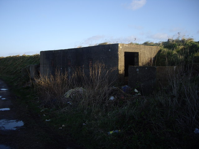
Boatmere Creek is not only a place of natural significance but also holds historical importance. It has been used for centuries as a trade route, with boats and barges transporting goods to and from the nearby towns. Today, remnants of this maritime heritage can still be seen, adding to the charm and character of the creek.
Overall, Boatmere Creek in Lincolnshire is a captivating blend of sea, estuary, and creek, offering a rich and diverse experience for those who visit. Whether it's for wildlife spotting, angling, or simply enjoying the scenic beauty, this hidden gem is a must-see destination in the region.
If you have any feedback on the listing, please let us know in the comments section below.
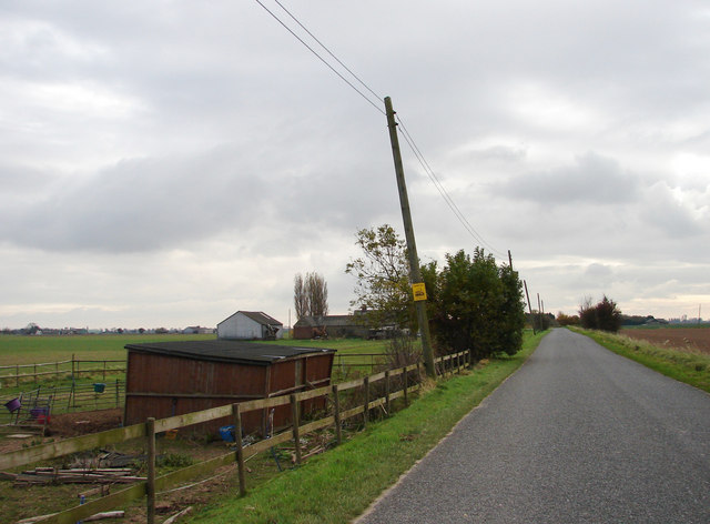
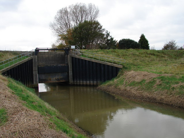
Boatmere Creek Images
Images are sourced within 2km of 52.828957/0.21155853 or Grid Reference TF4928. Thanks to Geograph Open Source API. All images are credited.
Boatmere Creek is located at Grid Ref: TF4928 (Lat: 52.828957, Lng: 0.21155853)
Administrative County: Lincolnshire
District: South Holland
Police Authority: Lincolnshire
What 3 Words
///wicked.crackled.miles. Near Sutton Bridge, Lincolnshire
Nearby Locations
Related Wikis

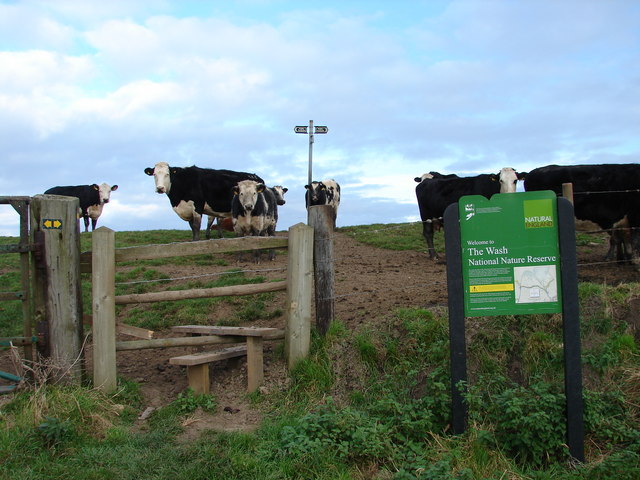
Outer Trial Bank
The Outer Trial Bank is a circular artificial island in the Wash, East Anglia, England. It is one of two artificial islands constructed during the 1970s...

River Nene
The River Nene ( or : see below) is a river in the east of England that rises from three sources in Northamptonshire. The river is about 105 miles (169...

Gedney Drove End
Gedney Drove End is a village in the civil parish of Gedney and the South Holland district of Lincolnshire, England. It is 40 miles (64 km) south-east...

Holbeach Air Weapons Range
Holbeach Air Weapons Range is a United Kingdom Ministry of Defence academic air weapons range (AWR) situated between Boston and King's Lynn in the civil...

Lutton, Lincolnshire
Lutton (sometimes Lutton-Bourne) is a village and civil parish in the South Holland district of Lincolnshire, England. The population of the civil parish...

Sutton Bridge
Sutton Bridge is a village and civil parish in the South Holland district of Lincolnshire, England. It is situated on the A17 road, 7 miles (11 km) north...

University Academy Long Sutton
University Academy Long Sutton (formerly The Peele Community College) is a co-educational secondary school located in Long Sutton in the English county...

Little Sutton, Lincolnshire
Little Sutton is a small civil parish, containing a few farms and a few houses, lying between the much larger parishes of Long Sutton and Sutton Bridge...
Nearby Amenities
Located within 500m of 52.828957,0.21155853Have you been to Boatmere Creek?
Leave your review of Boatmere Creek below (or comments, questions and feedback).