Tycho Wing's Channel
Sea, Estuary, Creek in Lincolnshire South Holland
England
Tycho Wing's Channel

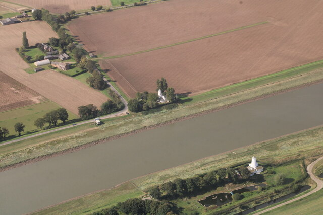
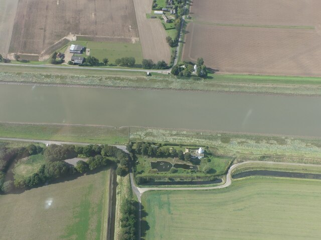
Tycho Wing's Channel is a body of water located in Lincolnshire, England. It serves as a sea, estuary, and creek, providing a diverse ecosystem and recreational opportunities for locals and visitors alike.
As a sea, Tycho Wing's Channel connects with the North Sea, offering access to the open waters. It provides a gateway for various maritime activities such as boating, fishing, and sailing. The channel's proximity to the North Sea also makes it an important route for commercial shipping, with vessels transporting goods to and from nearby ports.
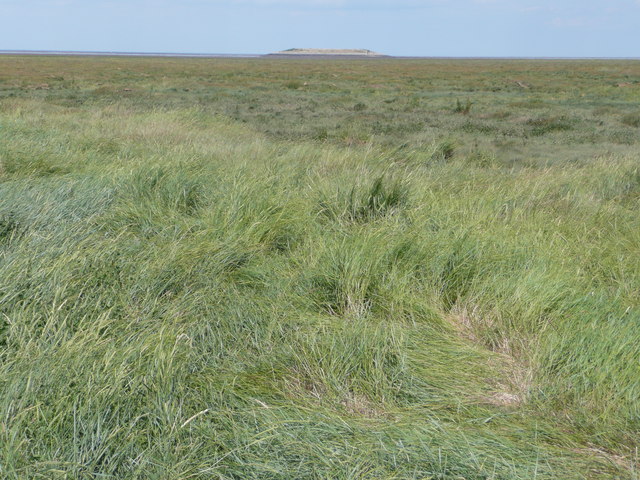
The channel also functions as an estuary, where it meets the land. This transitional zone between river and sea brings together freshwater and saltwater, creating a unique environment that supports a rich biodiversity. The estuary is home to a variety of plant and animal species, including wading birds, fish, and shellfish. It serves as an important feeding and breeding ground for these creatures, contributing to the overall ecological balance of the region.
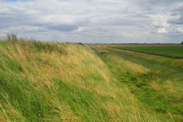
Additionally, Tycho Wing's Channel acts as a creek, winding its way through the Lincolnshire countryside. The creek provides picturesque views and opportunities for leisurely walks along its banks. Its meandering path creates an idyllic and tranquil setting, attracting nature enthusiasts and photographers.
Overall, Tycho Wing's Channel in Lincolnshire is a versatile waterway that encompasses the characteristics of a sea, estuary, and creek. It offers a range of recreational activities, supports a diverse ecosystem, and provides a scenic backdrop for those seeking solace in nature.
If you have any feedback on the listing, please let us know in the comments section below.
Tycho Wing's Channel Images
Images are sourced within 2km of 52.81571/0.21413585 or Grid Reference TF4926. Thanks to Geograph Open Source API. All images are credited.


Tycho Wing's Channel is located at Grid Ref: TF4926 (Lat: 52.81571, Lng: 0.21413585)
Administrative County: Lincolnshire
District: South Holland
Police Authority: Lincolnshire
What 3 Words
///bouncing.rats.moderated. Near Sutton Bridge, Lincolnshire
Nearby Locations
Related Wikis

Outer Trial Bank
The Outer Trial Bank is a circular artificial island in the Wash, East Anglia, England. It is one of two artificial islands constructed during the 1970s...

Gedney Drove End
Gedney Drove End is a village in the civil parish of Gedney and the South Holland district of Lincolnshire, England. It is 40 miles (64 km) south-east...

River Nene
The River Nene ( or : see below) is a river in the east of England that rises from three sources in Northamptonshire. The river is about 105 miles (169...

Holbeach Air Weapons Range
Holbeach Air Weapons Range is a United Kingdom Ministry of Defence academic air weapons range (AWR) situated between Boston and King's Lynn in the civil...

Sutton Bridge
Sutton Bridge is a village and civil parish in the South Holland district of Lincolnshire, England. It is situated on the A17 road, 7 miles (11 km) north...

Cross Keys Bridge
Cross Keys Bridge is a swing bridge that carries the busy single carriageway A17 road which runs from Newark in Nottinghamshire to King's Lynn in Norfolk...
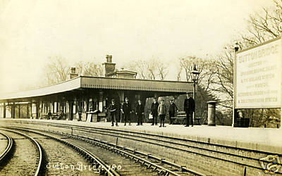
Sutton Bridge railway station
Sutton Bridge railway station was a station in Sutton Bridge, south Lincolnshire, England, which opened in the 19th century. It became part of the Midland...

Little Sutton, Lincolnshire
Little Sutton is a small civil parish, containing a few farms and a few houses, lying between the much larger parishes of Long Sutton and Sutton Bridge...
Nearby Amenities
Located within 500m of 52.81571,0.21413585Have you been to Tycho Wing's Channel?
Leave your review of Tycho Wing's Channel below (or comments, questions and feedback).