Halfway Reach
Sea, Estuary, Creek in Essex
England
Halfway Reach
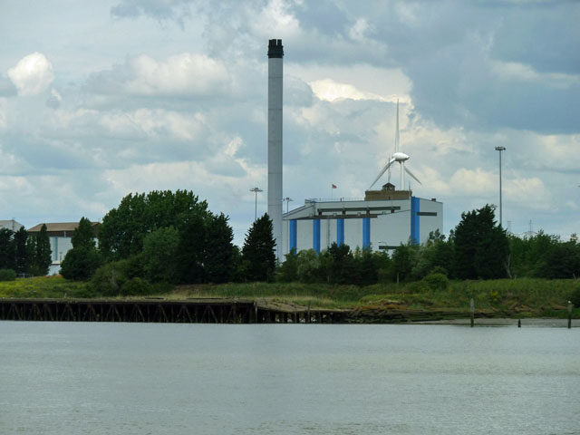
Halfway Reach is a picturesque area located in Essex, England, that encompasses a combination of sea, estuary, and creek landscapes. Situated along the banks of the River Crouch, it offers visitors a unique and beautiful natural environment to explore.
The area is known for its stunning panoramic views of the surrounding countryside, with rolling hills and lush green fields contrasting against the sparkling blue waters. Halfway Reach is particularly renowned for its diverse birdlife, making it a popular destination for birdwatching enthusiasts. The estuary and creek provide a habitat for various species, such as wading birds, ducks, and geese, making it a haven for ornithologists and nature lovers alike.
The sea at Halfway Reach offers opportunities for leisure activities such as sailing, boating, and fishing. Its tranquil waters are ideal for those seeking a peaceful escape or a spot of recreational angling. The creek, which meanders through the landscape, provides an enchanting setting for leisurely walks, where visitors can soak in the serene atmosphere and enjoy the sights and sounds of nature.
Halfway Reach is also home to a small community of residents who enjoy the quiet and idyllic lifestyle that this area affords. The nearby town of Burnham-on-Crouch offers amenities and services, ensuring that residents have easy access to shops, restaurants, and other necessities.
Overall, Halfway Reach is a hidden gem in Essex, offering a blend of natural beauty, tranquility, and recreational opportunities. Whether you are a nature enthusiast, a sailor, or simply looking for a peaceful retreat, this picturesque area has something to offer everyone.
If you have any feedback on the listing, please let us know in the comments section below.
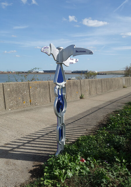
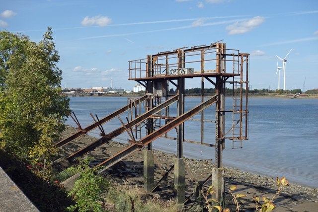
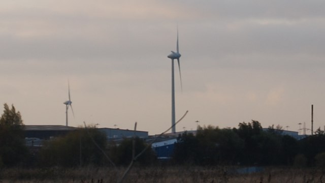
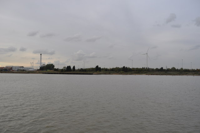
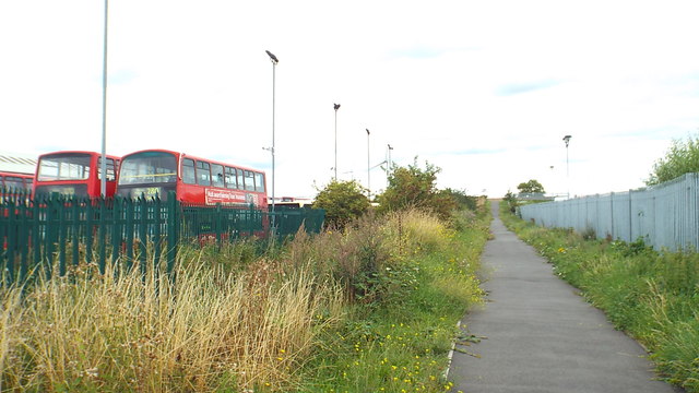
Halfway Reach Images
Images are sourced within 2km of 51.512633/0.14127639 or Grid Reference TQ4881. Thanks to Geograph Open Source API. All images are credited.


Halfway Reach is located at Grid Ref: TQ4881 (Lat: 51.512633, Lng: 0.14127639)
Unitary Authority: Bexley
Police Authority: Metropolitan
What 3 Words
///rivers.trick.bulb. Near Belvedere, London
Nearby Locations
Related Wikis
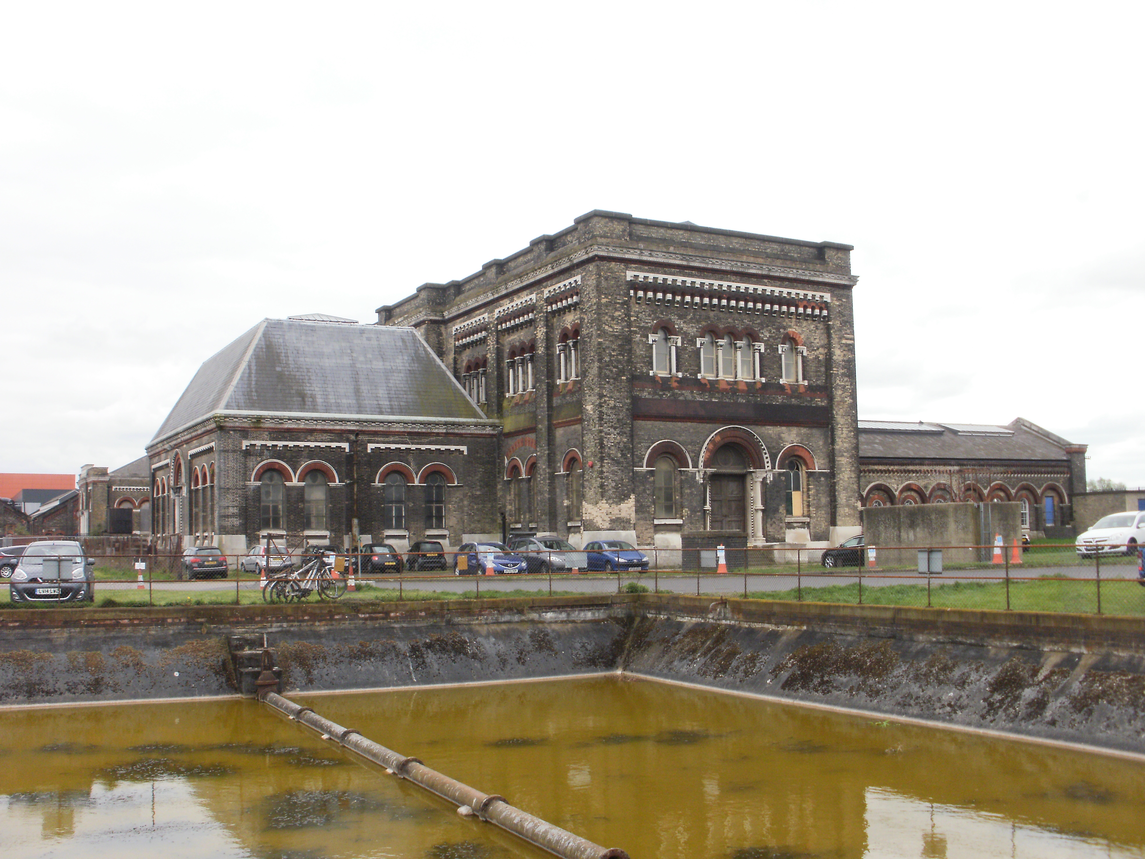
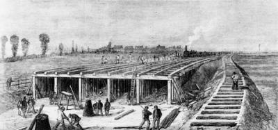
Crossness Pumping Station
The Crossness Pumping Station is a former sewage pumping station designed by the Metropolitan Board of Works's chief engineer Sir Joseph Bazalgette and...

Crossness
Crossness is a location in the London Borough of Bexley, close to the southern bank of the River Thames, to the east of Thamesmead, west of Belvedere and...
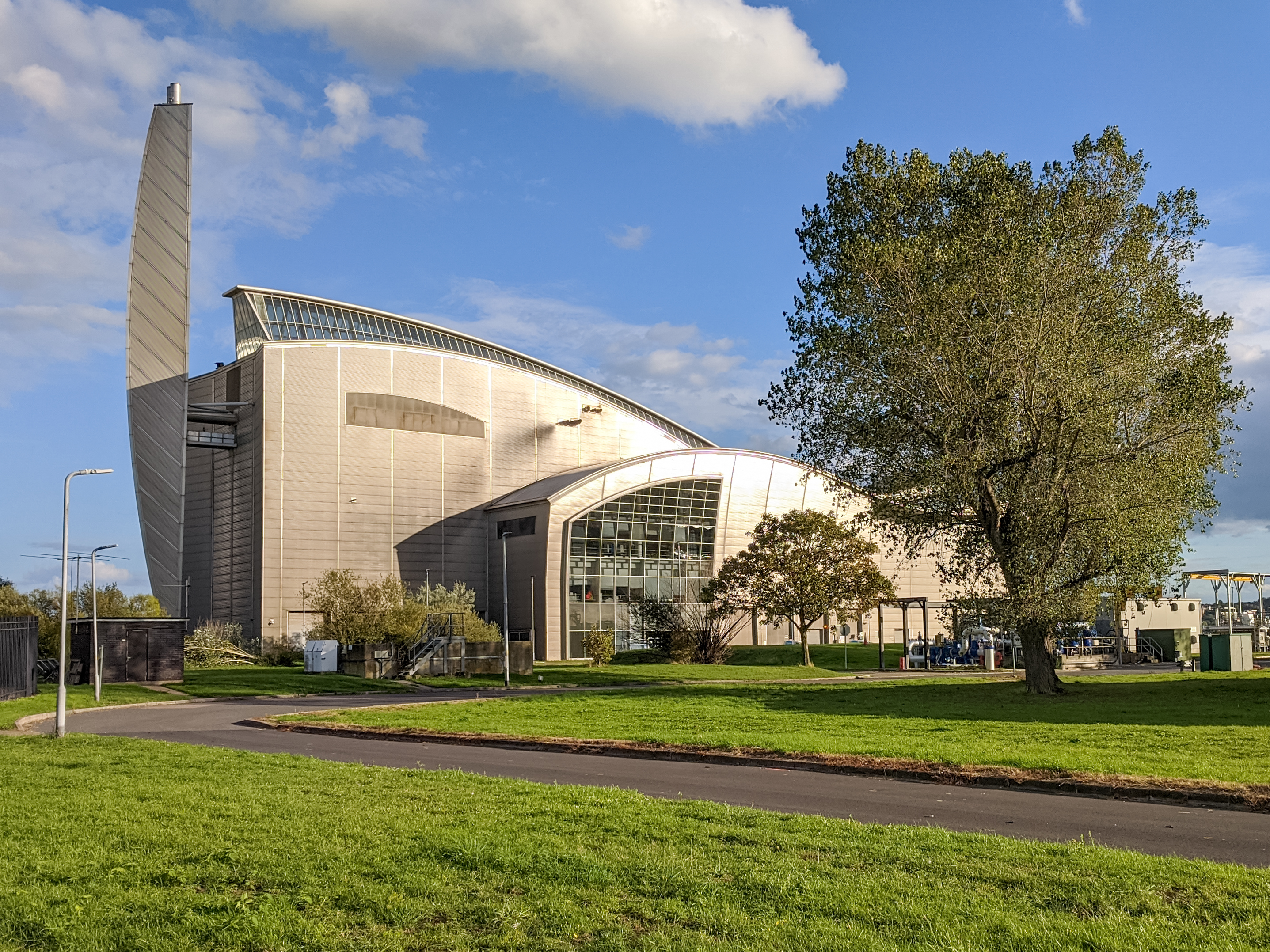
Crossness Sewage Treatment Works
The Crossness Sewage Treatment Works is a sewage treatment plant located at Crossness in the London Borough of Bexley. It was opened in 1865 and is Europe...
Southern Outfall Sewer
The Southern Outfall Sewer is a major sewer taking sewage from the southern area of central London to Crossness in south-east London. Flows from three...
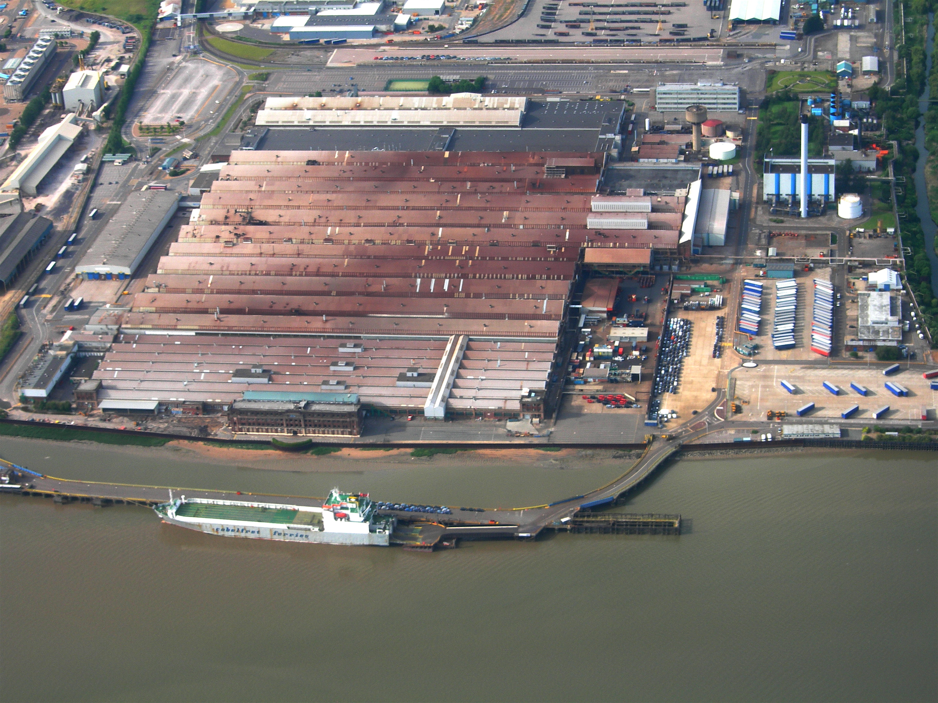
Ford Dagenham
Ford Dagenham is a major automotive factory located in Dagenham, London, operated by the Ford of Britain subsidiary of Ford Motor Company. The plant opened...

Barking Power Station
Barking Power Station refers to a series of power stations at various sites within the London Borough of Barking and Dagenham in east London. The original...

Thamesmead Town F.C.
Thamesmead Town Football Club was a football club originally based in Thamesmead in south-east London before moving to Dartford in 2017. They joined the...
London Sustainable Industries Park
London Sustainable Industries Park (LSIP) is a 60 acre eco-industrial park in the Dagenham Dock area of the London Borough of Barking and Dagenham in London...
Nearby Amenities
Located within 500m of 51.512633,0.14127639Have you been to Halfway Reach?
Leave your review of Halfway Reach below (or comments, questions and feedback).