St Cuthbert's Gut
Sea, Estuary, Creek in Northumberland
England
St Cuthbert's Gut

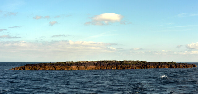
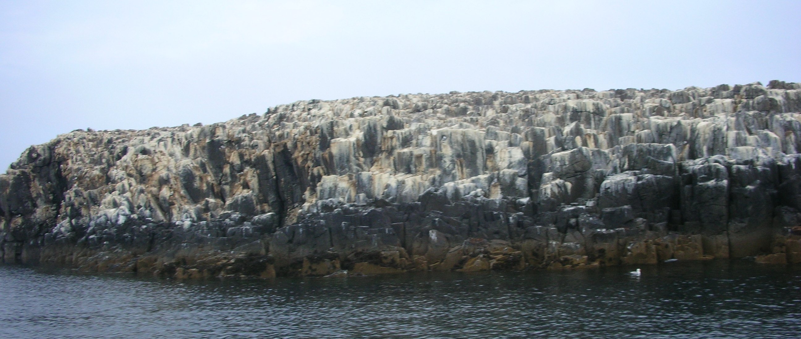
St Cuthbert's Gut is a tidal creek located in Northumberland, England. Situated on the North Sea coast, it serves as an estuary, connecting the sea to the mainland. The creek stretches approximately 3 kilometers in length and is surrounded by picturesque coastal scenery and marshland.
The area around St Cuthbert's Gut is known for its rich biodiversity, with a variety of plant and animal species thriving in the salt marshes and mudflats. These habitats provide a vital feeding and breeding ground for numerous bird species, including waders, ducks, and geese. It is also home to various fish, crustaceans, and mollusks that rely on the creek's nutrient-rich waters.
The tidal nature of St Cuthbert's Gut means that the water level fluctuates throughout the day, resulting in a constantly changing landscape. During high tide, the creek fills up with water, creating a deep and navigable channel. However, at low tide, vast areas of mudflats are exposed, offering an abundance of food for wading birds.
The creek is named after St Cuthbert, a revered early medieval saint who was believed to have lived in the area during the 7th century. It is said that St Cuthbert used the creek as a crossing point during his travels between Holy Island and the mainland.
Today, St Cuthbert's Gut is a popular destination for nature enthusiasts and birdwatchers, who come to witness the spectacular wildlife that calls this estuary home. It also provides opportunities for recreational activities such as kayaking and sailing, allowing visitors to explore its scenic beauty while enjoying the tranquility of the Northumberland coast.
If you have any feedback on the listing, please let us know in the comments section below.
St Cuthbert's Gut Images
Images are sourced within 2km of 55.618092/-1.6572628 or Grid Reference NU2136. Thanks to Geograph Open Source API. All images are credited.


St Cuthbert's Gut is located at Grid Ref: NU2136 (Lat: 55.618092, Lng: -1.6572628)
Unitary Authority: Northumberland
Police Authority: Northumbria
What 3 Words
///prom.attitudes.shows. Near Bamburgh, Northumberland
Nearby Locations
Related Wikis
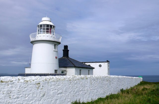
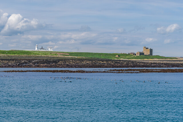
Farne Lighthouse
Farne Lighthouse is a lighthouse on the southern tip of Inner Farne (one of a group of islands off the coast of North Northumberland). Built in the early...
Farne Islands
The Farne Islands are a group of islands off the coast of Northumberland, England. The group has between 15 and 20 islands depending on the level of the...
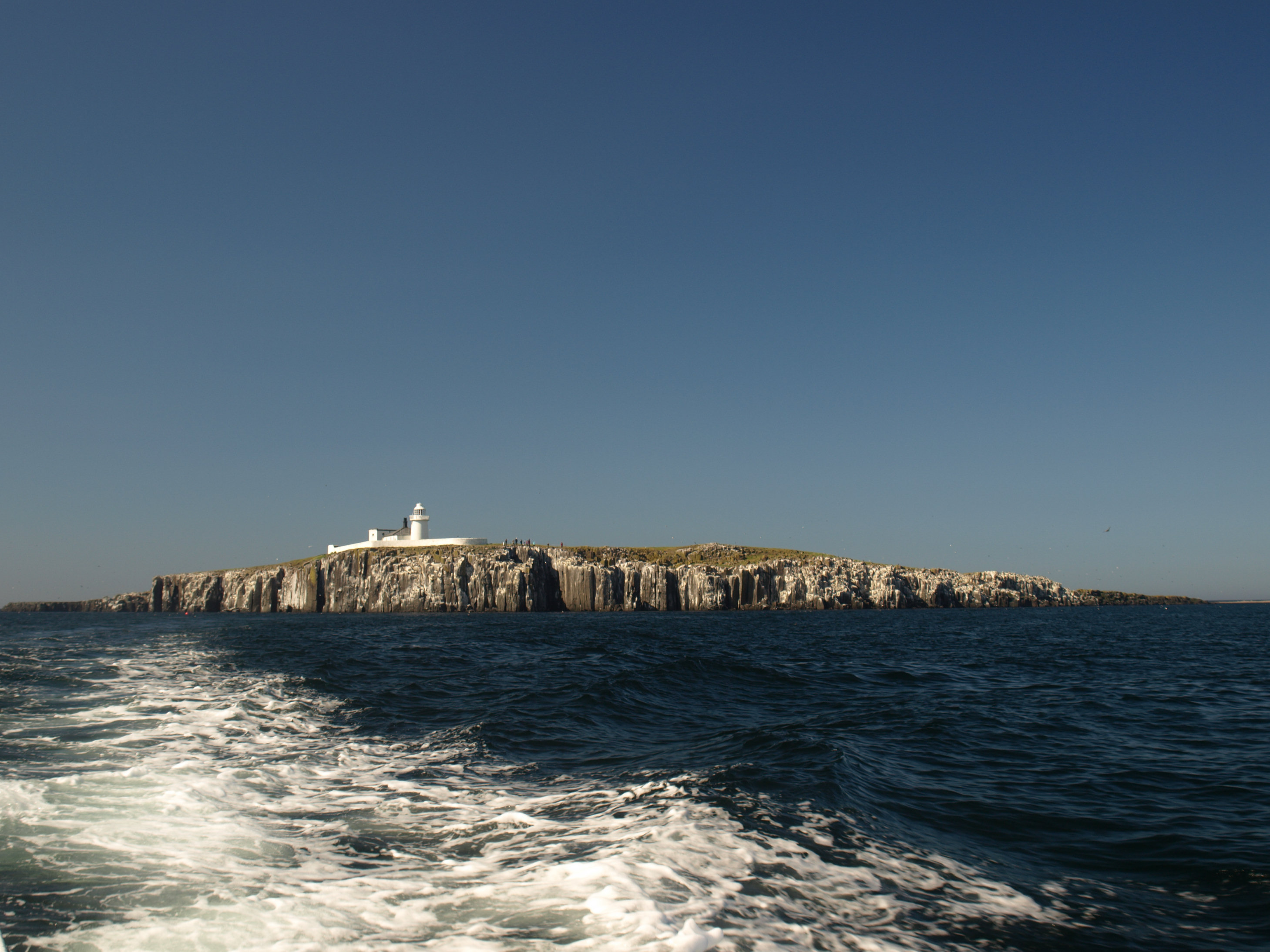
Staple Island
Staple Island is a small rocky island, or skerry, that is one of the Outer Group of the Farne Islands in Northumberland, England. The Farne Islands are...

Bamburgh Dunes
Bamburgh Dunes are a region of coastal sand dunes with an area of over 40 hectares situated around the village of Bamburgh in Northumberland, England....
Nearby Amenities
Located within 500m of 55.618092,-1.6572628Have you been to St Cuthbert's Gut?
Leave your review of St Cuthbert's Gut below (or comments, questions and feedback).