Easter Loder
Sea, Estuary, Creek in Shetland
Scotland
Easter Loder
The requested URL returned error: 429 Too Many Requests
If you have any feedback on the listing, please let us know in the comments section below.
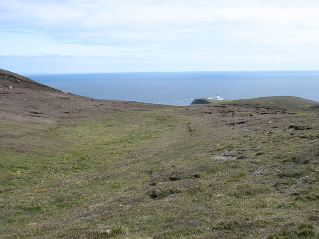
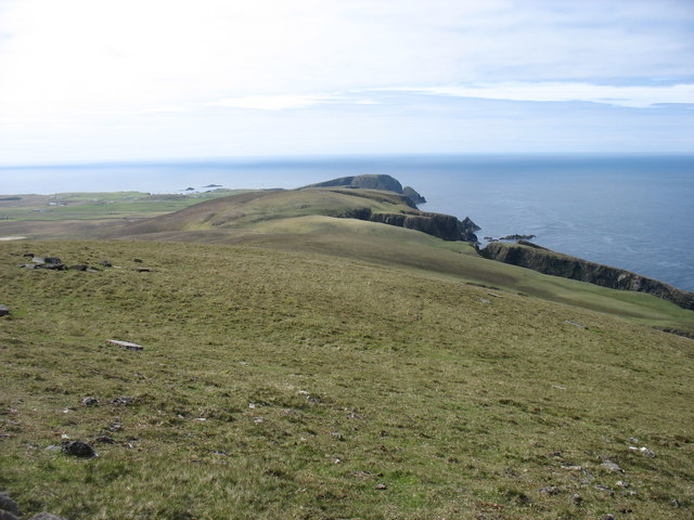
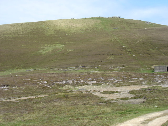
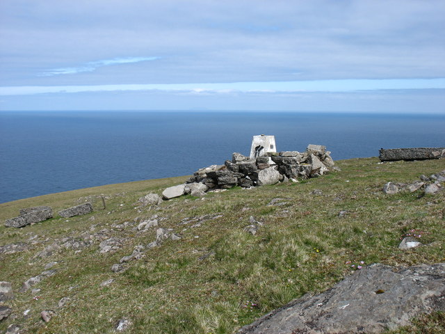
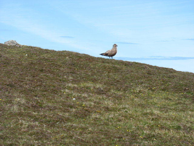
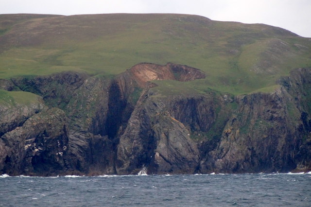
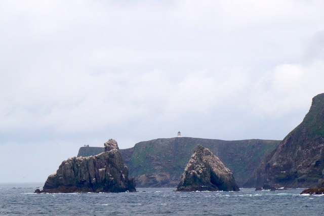
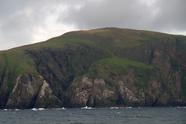
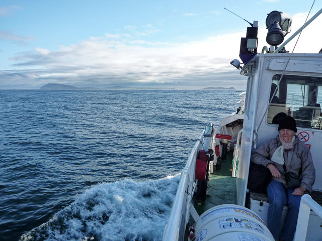
Easter Loder Images
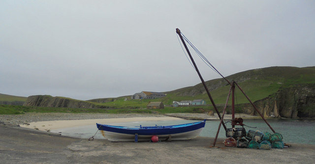
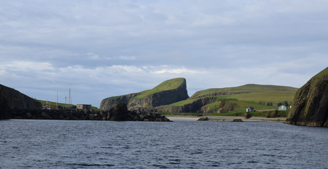
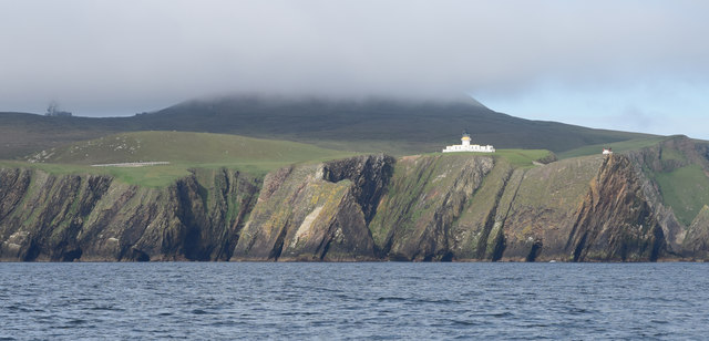
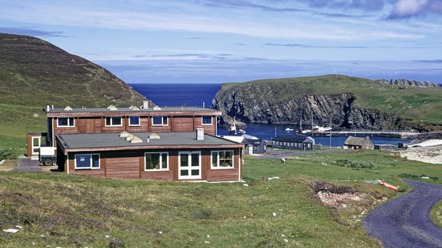
Images are sourced within 2km of 59.551093/-1.6190015 or Grid Reference HZ2173. Thanks to Geograph Open Source API. All images are credited.


Easter Loder is located at Grid Ref: HZ2173 (Lat: 59.551093, Lng: -1.6190015)
Unitary Authority: Shetland Islands
Police Authority: Highlands and Islands
What 3 Words
///slipped.northward.emeralds. Near Sumburgh, Shetland Islands
Nearby Locations
Related Wikis

Fair Isle
Fair Isle (; Scots: Fair Isle; Old Norse: Friðarey; Scottish Gaelic: Fara), sometimes Fairisle, is the southernmost Shetland island, situated roughly 38km...

North Haven (harbour)
North Haven is a natural cove, developed in the 20th century as one of the primary ports of Fair Isle, an outlying island of the Shetland Isles in the...

Fair Isle Airport
Fair Isle Airport (IATA: FIE, ICAO: EGEF), is a small airport located in Fair Isle, Shetland, Scotland. It is owned by the National Trust for Scotland...

Stroms Hellier
Stroms Hellier (Stroms Heelor) is a steep-sided rocky cove located off the Swartz Geo inlet on Fair Isle in the Scottish Shetland Islands.On 27 September...
Have you been to Easter Loder?
Leave your review of Easter Loder below (or comments, questions and feedback).