Needle's Eye
Sea, Estuary, Creek in Kincardineshire
Scotland
Needle's Eye

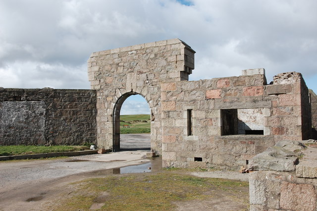
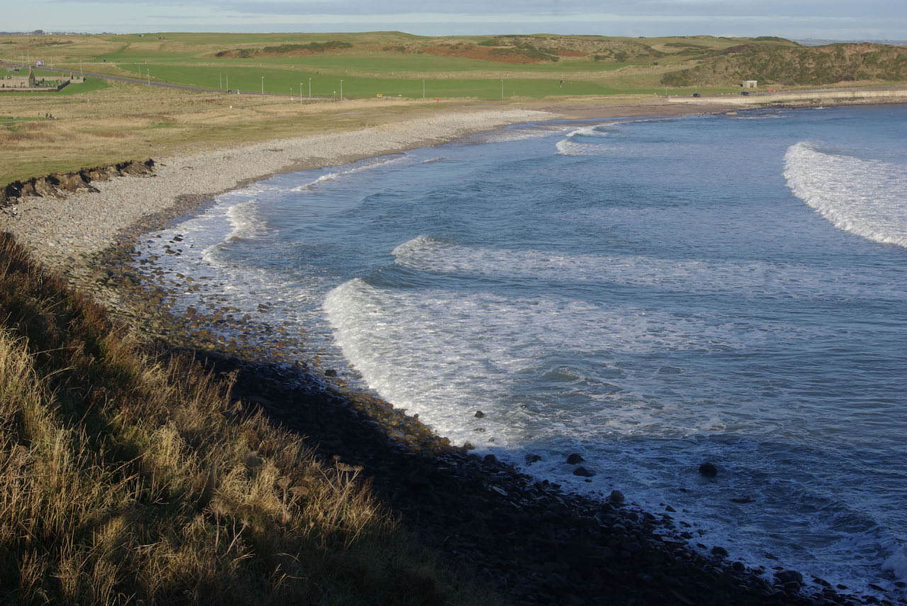
Needle's Eye is a picturesque coastal formation located in Kincardineshire, Scotland. Nestled between the towns of Stonehaven and Inverbervie, it is a renowned natural landmark that attracts visitors from all over the world.
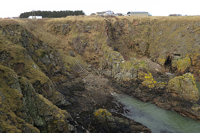
The main feature of Needle's Eye is a narrow, rocky channel that connects the North Sea to an estuary. This narrow passage, often referred to as a "needle's eye," is surrounded by towering cliffs and jagged rocks, making it a truly breathtaking sight. The channel itself is relatively short, stretching only a few hundred meters, but its unique shape and natural beauty make it a popular spot for photographers and nature enthusiasts alike.
The area surrounding Needle's Eye is rich in marine life, with a diverse range of species inhabiting its waters. Seals, dolphins, and various species of seabirds can often be spotted in the vicinity, adding to the area's natural charm. The cliffs that surround the channel are also home to several nesting seabird colonies, providing a haven for breeding and nesting during the warmer months.
Access to Needle's Eye is relatively easy, with a small path leading down to the water's edge from a nearby car park. However, caution is advised when visiting, as the path can be steep and slippery, particularly during wet weather. Despite this, the area remains a popular destination for those seeking a tranquil coastal experience, offering stunning views and a sense of connection to the raw power of nature.
If you have any feedback on the listing, please let us know in the comments section below.
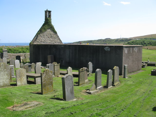
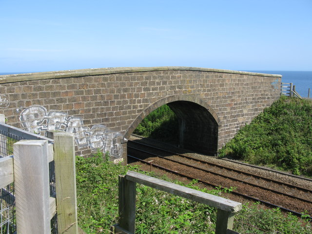
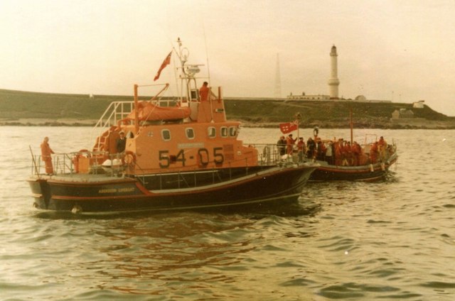
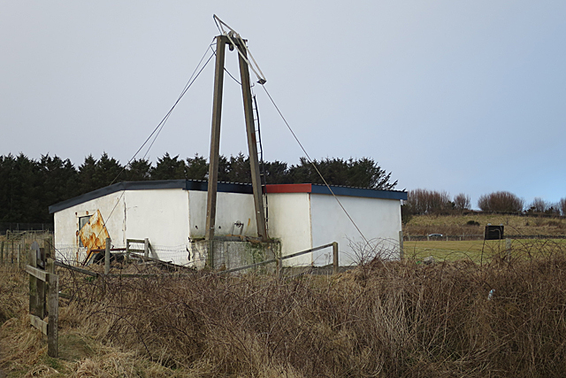
Needle's Eye Images
Images are sourced within 2km of 57.125109/-2.0515801 or Grid Reference NJ9603. Thanks to Geograph Open Source API. All images are credited.


Needle's Eye is located at Grid Ref: NJ9603 (Lat: 57.125109, Lng: -2.0515801)
Unitary Authority: City of Aberdeen
Police Authority: North East
What 3 Words
///loyal.shiny.exit. Near Aberdeen
Nearby Locations
Related Wikis

Doonies Farm
Doonies Rare Breeds Farm was a farm in Aberdeen, Scotland. Doonies Farm had one of Scotland's largest collections of rare and endangered farm animal breeds...
Nigg Bay, Aberdeen
Nigg Bay is a cove to the east of Aberdeen, between Girdle Ness and Greg Ness, in the old parish of Nigg. In 2017, work began to develop the bay into a...
Balnagask
Balnagask is an area of Torry, a burgh of Aberdeen in Scotland. Balnagask is said to mean "the village in the hollow" in Gaelic. The Balnagask Estate...
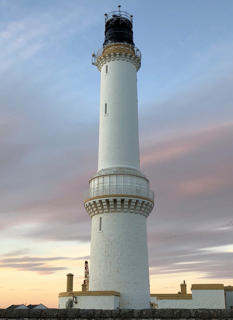
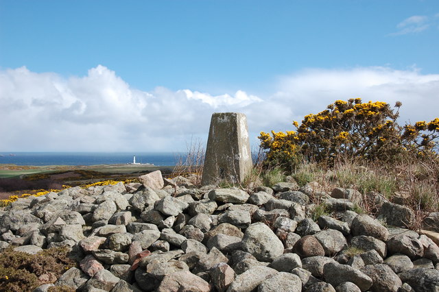
Girdle Ness Lighthouse
Girdle Ness Lighthouse (or Girdleness Lighthouse) is situated near Torry Battery on the Girdle Ness peninsula just south of the entrance to Aberdeen's...
Nearby Amenities
Located within 500m of 57.125109,-2.0515801Have you been to Needle's Eye?
Leave your review of Needle's Eye below (or comments, questions and feedback).